Foxhill Bank
Settlement in Lancashire Hyndburn
England
Foxhill Bank
Foxhill Bank is a small village located in the county of Lancashire, England. Situated in the picturesque Ribble Valley, the village is known for its stunning natural beauty and tranquil atmosphere. It is part of the larger civil parish of Billington and Langho and falls within the Ribble Valley borough.
Despite its small size, Foxhill Bank offers a range of amenities to its residents and visitors. The village is home to a local primary school, providing education for the younger population. Additionally, there are a few local shops, including a convenience store, that cater to the daily needs of the community.
One of the notable features of Foxhill Bank is its proximity to the surrounding countryside. The village is surrounded by rolling green hills and is a popular destination for nature enthusiasts and hikers. The idyllic landscapes provide ample opportunities for outdoor activities such as walking, cycling, and horse riding.
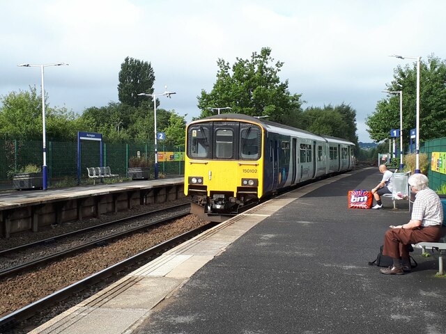
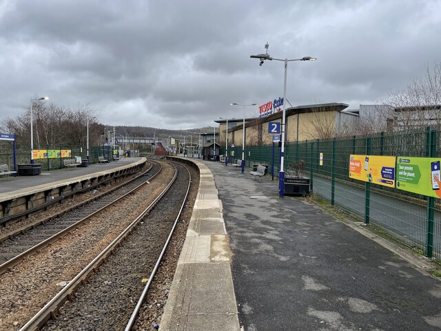
Transportation in Foxhill Bank is facilitated by a well-connected road network. The village is located near major routes, including the A59, which provides easy access to nearby towns and cities. The nearest railway station is in Langho, just a short distance away, offering convenient links to other parts of Lancashire and beyond.
Overall, Foxhill Bank presents a charming and peaceful rural setting, making it an attractive place for those seeking a slower pace of life and a close connection to nature.
If you have any feedback on the listing, please let us know in the comments section below.
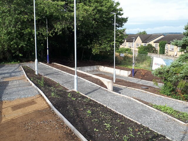
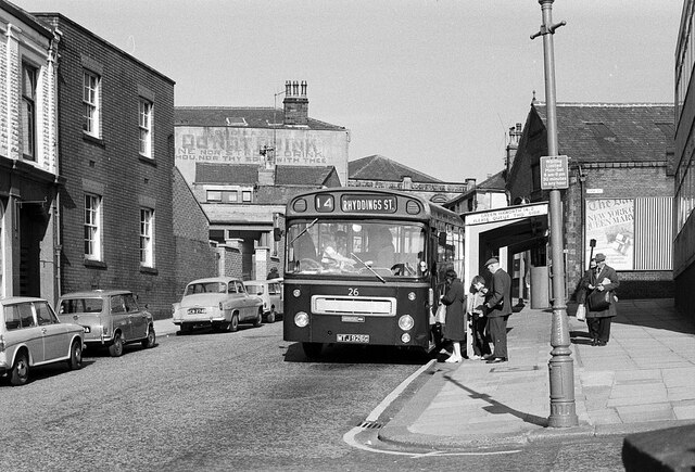
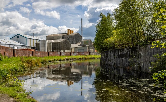
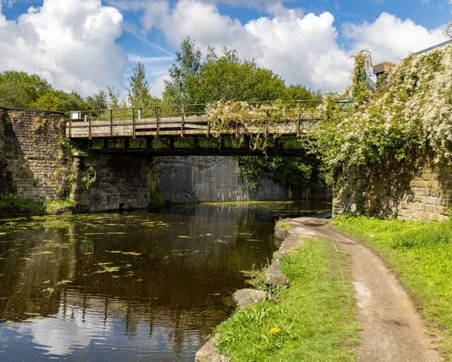
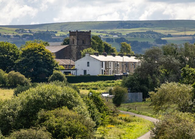
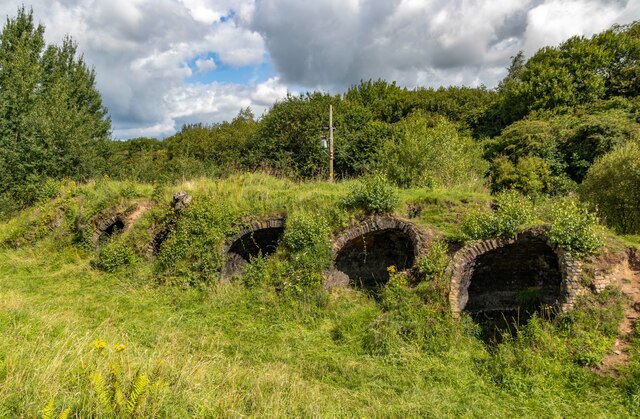
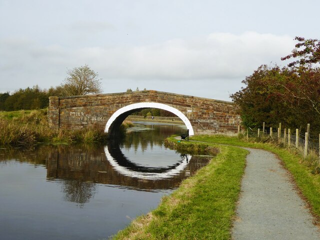
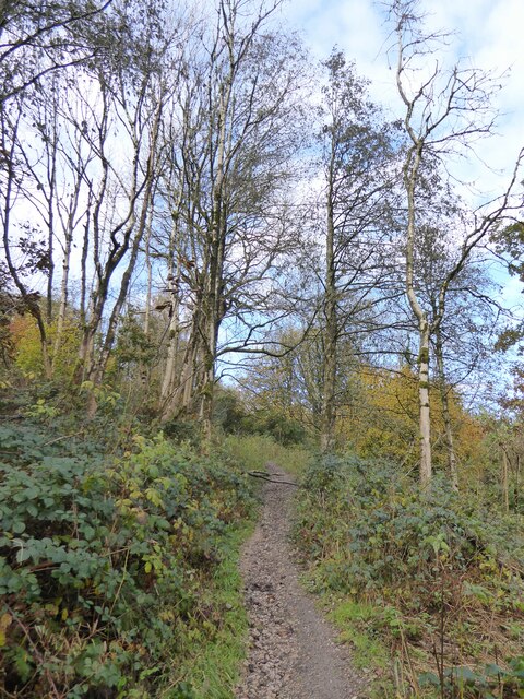
Foxhill Bank Images
Images are sourced within 2km of 53.749403/-2.3916564 or Grid Reference SD7428. Thanks to Geograph Open Source API. All images are credited.
Foxhill Bank is located at Grid Ref: SD7428 (Lat: 53.749403, Lng: -2.3916564)
Administrative County: Lancashire
District: Hyndburn
Police Authority: Lancashire
What 3 Words
///rested.wrenching.aimlessly. Near Church, Lancashire
Nearby Locations
Related Wikis

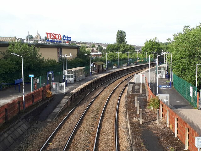
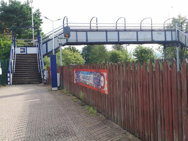
Church & Oswaldtwistle railway station
Church & Oswaldtwistle railway station serves both the village of Church and the town of Oswaldtwistle, in Lancashire, England. The station is 5+1⁄3 miles...

Rhyddings
Rhyddings (formerly Rhyddings High School and then Rhyddings Business and Enterprise School) is a mixed secondary school located in Oswaldtwistle in the...

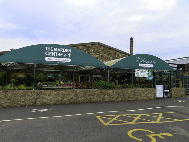
Oswaldtwistle
Oswaldtwistle ( "ozzel twizzel") is a town in the Hyndburn borough of Lancashire, England, 3 miles (5 km) southeast of Blackburn, contiguous with Accrington...

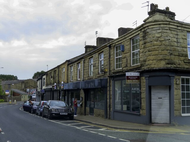
Church, Lancashire
Church is a large village in Hyndburn, Lancashire, England, situated one mile (1.6 km) west of Accrington. The village had a population of 5,186 at the...

Aspden
Aspden is the historic name of a valley a mile west of Church and a mile north of Oswaldtwistle, between Accrington and Blackburn, in Lancashire, England...
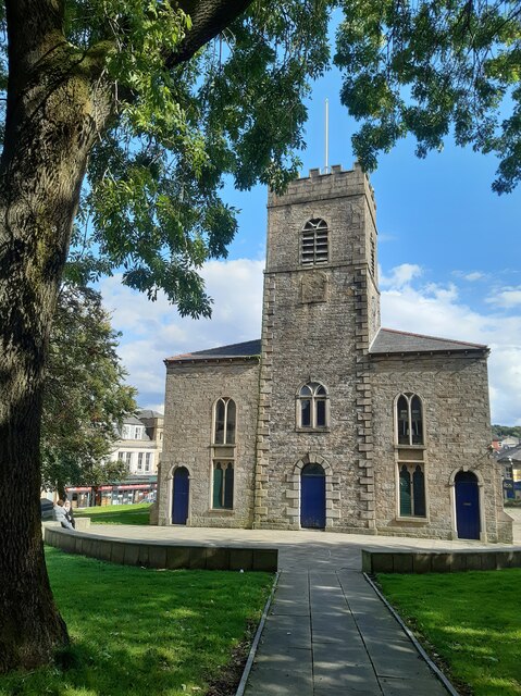
St James' Church, Church Kirk
St James' Church is an redundant church in St James' Road, Church, Hyndburn, Lancashire, England. It was an active Anglican parish church in the deanery...
Mount Carmel Roman Catholic High School
Mount Carmel Roman Catholic High School is a coeducational Roman Catholic secondary school located in Accrington, a town located in the county of Lancashire...

Globe Works, Accrington
The Globe Works is a former industrial works in Accrington, Lancashire, England, that following refurbishment contains rented offices and conference rooms...
Nearby Amenities
Located within 500m of 53.749403,-2.3916564Have you been to Foxhill Bank?
Leave your review of Foxhill Bank below (or comments, questions and feedback).