Cote Holme
Settlement in Lancashire Hyndburn
England
Cote Holme
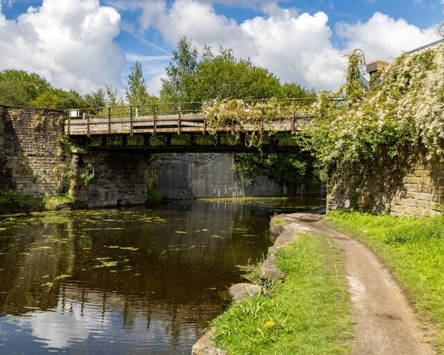
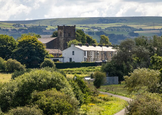
Cote Holme is a small village located in the county of Lancashire, England. Situated in the Ribble Valley district, this picturesque village is nestled amidst the stunning countryside of the Forest of Bowland Area of Outstanding Natural Beauty.
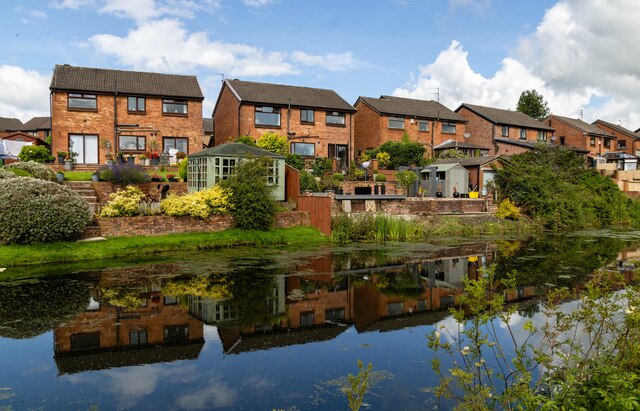
With a population of just over 200 people, Cote Holme exudes a tranquil and idyllic charm. The village is characterized by its traditional stone-built houses, many of which date back to the 18th and 19th centuries. The surrounding landscape is dotted with lush green fields, rolling hills, and meandering streams, making it a haven for nature lovers and outdoor enthusiasts.
Despite its small size, Cote Holme boasts a strong sense of community spirit. The village has a local pub, The Bowland Inn, which serves as a gathering place for residents and visitors alike. It provides a warm and welcoming atmosphere, offering a selection of traditional pub food and ales.
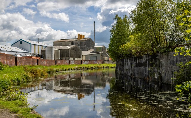
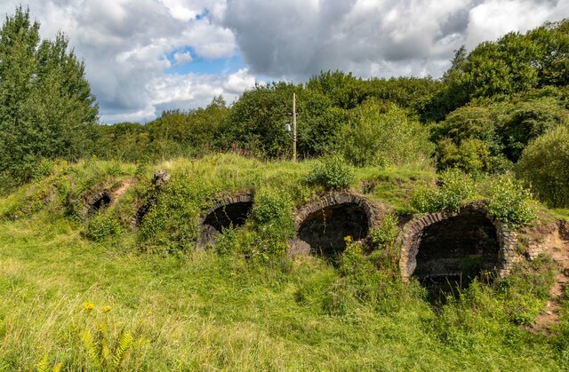
Cote Holme is also blessed with a rich history. The nearby Cote Holme Mill, a Grade II listed building, serves as a reminder of the village's industrial past. Built in the 19th century, the mill was once a thriving cotton mill and played a significant role in the local economy.
For those seeking a peaceful and picturesque escape, Cote Holme offers a slice of rural bliss. Surrounded by natural beauty and steeped in history, this charming village provides an oasis of tranquility in the heart of Lancashire.
If you have any feedback on the listing, please let us know in the comments section below.
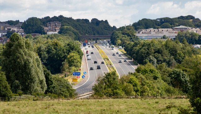
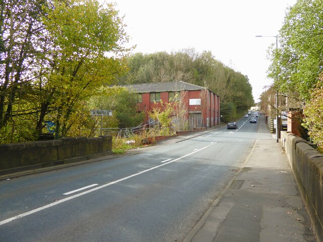
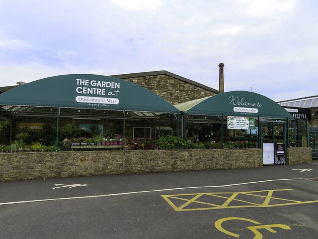
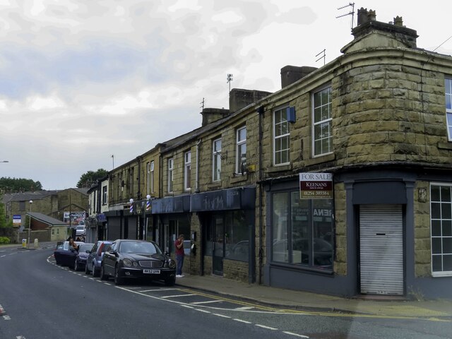
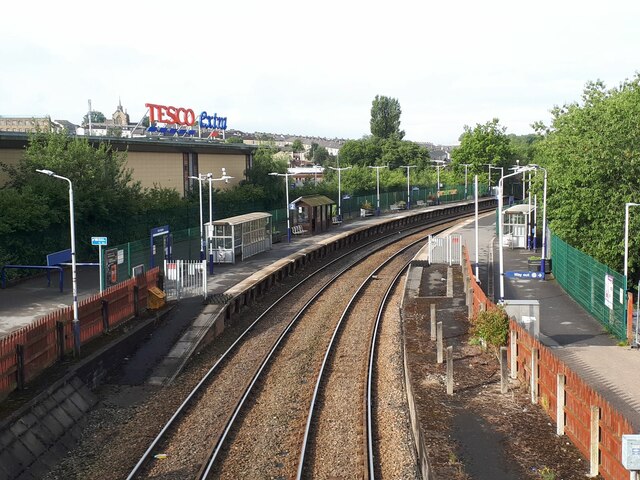
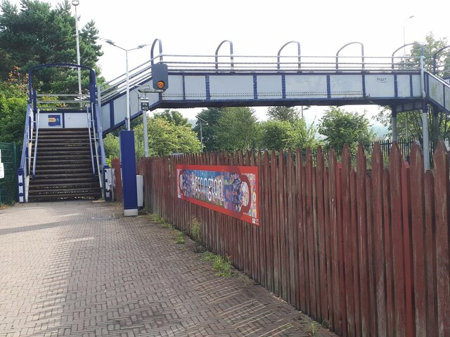
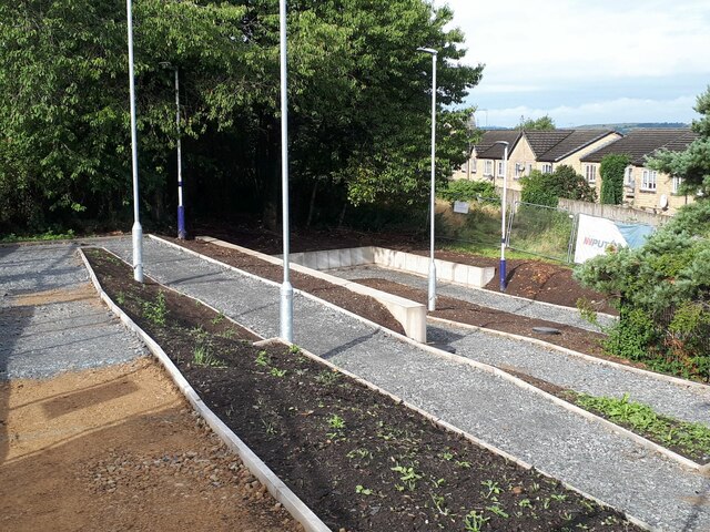
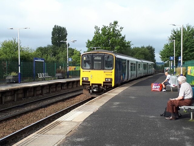
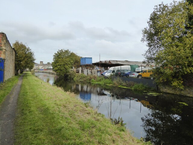
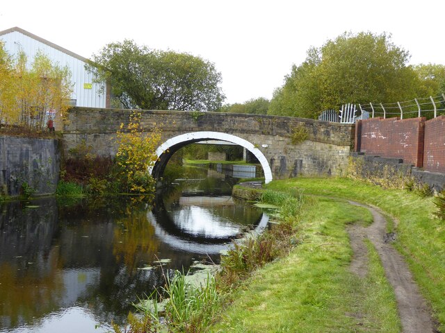
Cote Holme Images
Images are sourced within 2km of 53.752728/-2.3945233 or Grid Reference SD7428. Thanks to Geograph Open Source API. All images are credited.
Cote Holme is located at Grid Ref: SD7428 (Lat: 53.752728, Lng: -2.3945233)
Administrative County: Lancashire
District: Hyndburn
Police Authority: Lancashire
What 3 Words
///pretty.result.drag. Near Church, Lancashire
Nearby Locations
Related Wikis

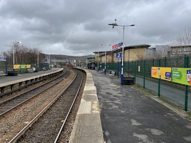
Church & Oswaldtwistle railway station
Church & Oswaldtwistle railway station serves both the village of Church and the town of Oswaldtwistle, in Lancashire, England. The station is 5+1⁄3 miles...

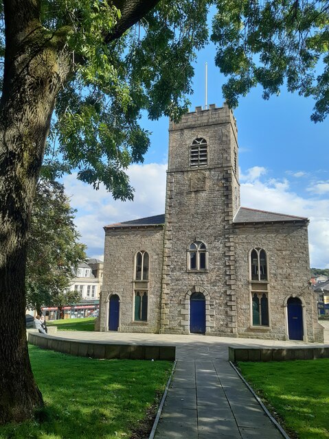
St James' Church, Church Kirk
St James' Church is an redundant church in St James' Road, Church, Hyndburn, Lancashire, England. It was an active Anglican parish church in the deanery...

Aspden
Aspden is the historic name of a valley a mile west of Church and a mile north of Oswaldtwistle, between Accrington and Blackburn, in Lancashire, England...
Church, Lancashire
Church is a large village in Hyndburn, Lancashire, England, situated one mile (1.6 km) west of Accrington. The village had a population of 5,186 at the...

Rhyddings
Rhyddings (formerly Rhyddings High School and then Rhyddings Business and Enterprise School) is a mixed secondary school located in Oswaldtwistle in the...

Oswaldtwistle
Oswaldtwistle ( "ozzel twizzel") is a town in the Hyndburn borough of Lancashire, England, 3 miles (5 km) southeast of Blackburn, contiguous with Accrington...
Mount Carmel Roman Catholic High School
Mount Carmel Roman Catholic High School is a coeducational Roman Catholic secondary school located in Accrington, a town located in the county of Lancashire...
St Christopher's Church of England High School, Accrington
St Christopher's C of E High is a Church of England High School with academy status located north of Accrington in Lancashire, north-west England. The...
Nearby Amenities
Located within 500m of 53.752728,-2.3945233Have you been to Cote Holme?
Leave your review of Cote Holme below (or comments, questions and feedback).