Foxhill
Settlement in Sussex Chichester
England
Foxhill
Foxhill is a small village located in the county of Sussex, England. Situated approximately 10 miles northeast of the city of Brighton, Foxhill is nestled in the picturesque countryside, surrounded by rolling hills and lush green landscapes. The village falls under the administrative jurisdiction of the Mid Sussex District Council.
The village is home to a close-knit community of around 500 residents, who enjoy the peaceful and idyllic setting that Foxhill offers. The architecture in the village is predominantly traditional, with charming cottages and houses built using local materials.
Despite its small size, Foxhill boasts several amenities for its residents. The village has a local pub, The Foxhill Inn, which serves a range of food and drinks, and acts as a social hub for the community. There is also a village hall that hosts various events and gatherings throughout the year.
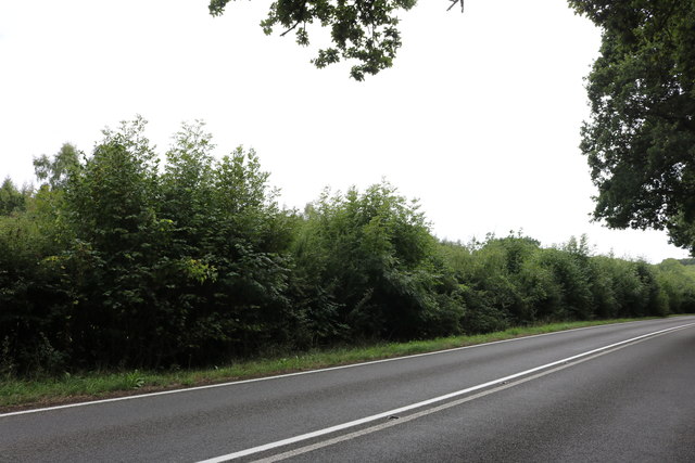
The surrounding countryside offers plenty of opportunities for outdoor activities, with numerous walking and cycling trails to explore. The South Downs National Park, a designated Area of Outstanding Natural Beauty, is just a short distance away, providing stunning views and diverse wildlife.
Transport links in Foxhill are relatively limited, with no direct rail or bus services in the village itself. However, the nearby town of Haywards Heath, approximately 5 miles away, provides easy access to mainline train services to London and other major cities.
Overall, Foxhill offers a tranquil and picturesque setting, making it an attractive place to live for those seeking a peaceful village lifestyle in the heart of the Sussex countryside.
If you have any feedback on the listing, please let us know in the comments section below.
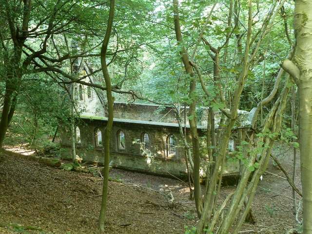
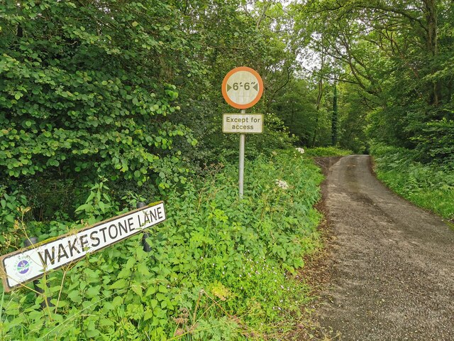
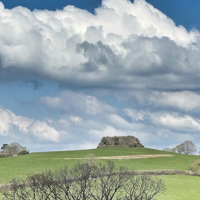
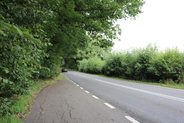
Foxhill Images
Images are sourced within 2km of 50.994736/-0.57397705 or Grid Reference TQ0022. Thanks to Geograph Open Source API. All images are credited.


Foxhill is located at Grid Ref: TQ0022 (Lat: 50.994736, Lng: -0.57397705)
Administrative County: West Sussex
District: Chichester
Police Authority: Sussex
What 3 Words
///paler.residual.mistaken. Near Petworth, West Sussex
Nearby Locations
Related Wikis

Bognor Common Quarry
Bognor Common Quarry is a 25.1-hectare (62-acre) geological Site of Special Scientific Interest east of Petworth in West Sussex. It is a Geological Conservation...

The Mens
The Mens is a 205.2-hectare (507-acre) biological Site of Special Scientific Interest west of Billingshurst in West Sussex. It is a Nature Conservation...

Sacred Heart Church, Petworth
Sacred Heart Church is a Roman Catholic Parish church in Petworth, West Sussex, England. It was built in 1896 and designed by Frederick Walters. It is...
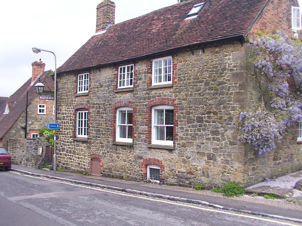
Petworth Cottage Museum
Petworth Cottage Museum, at 346 High Street, Petworth, West Sussex is a Leconfield Estate worker's cottage. It has been restored and furnished as it might...
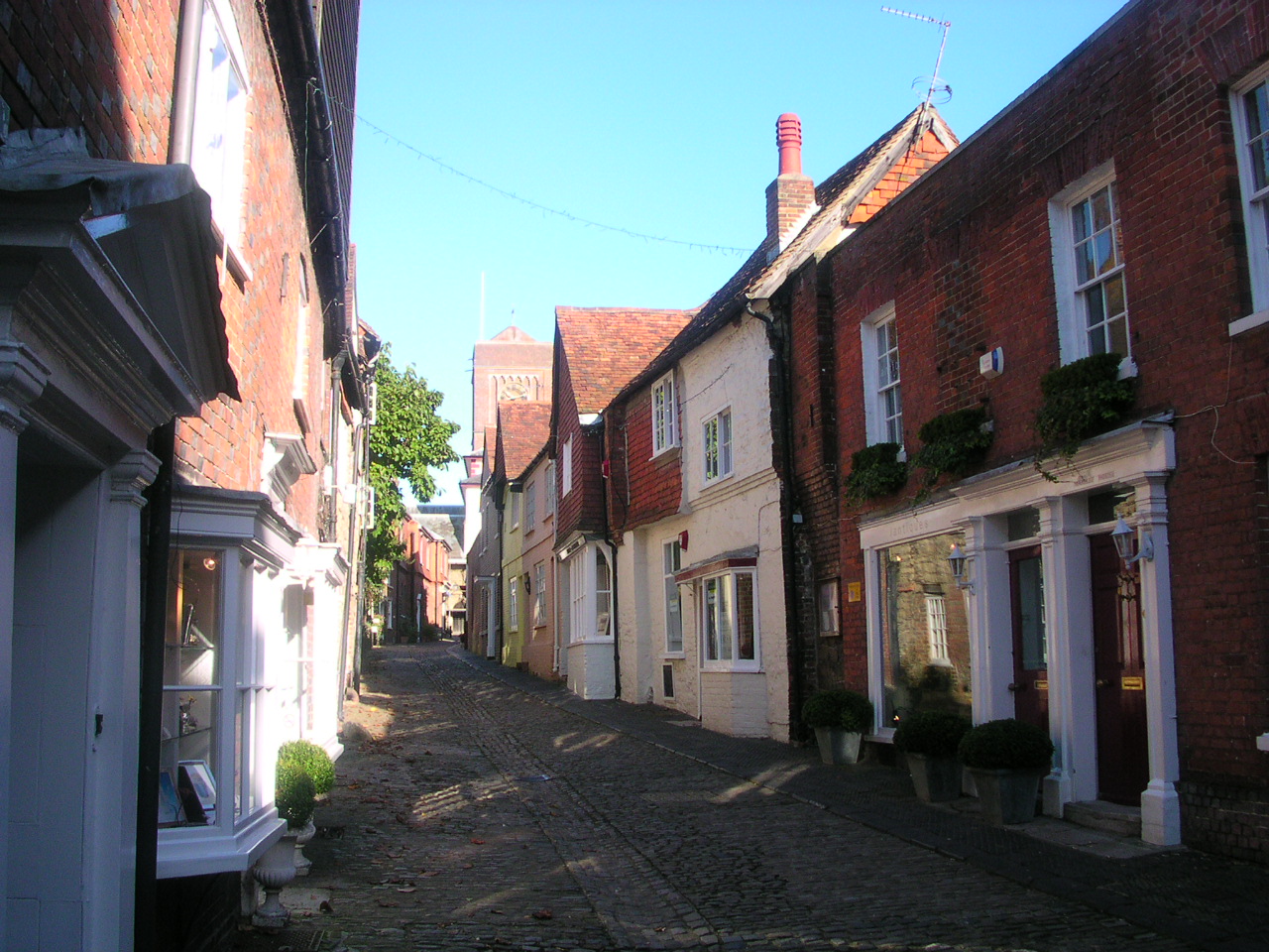
Petworth
Petworth is a town and civil parish in the Chichester District of West Sussex, England. It is located at the junction of the A272 east–west road from Heathfield...

Petworth Park
Petworth Park at Petworth, Sussex was used as the venue for three first-class cricket matches between 1824 and 1826. The ground was in front of the main...
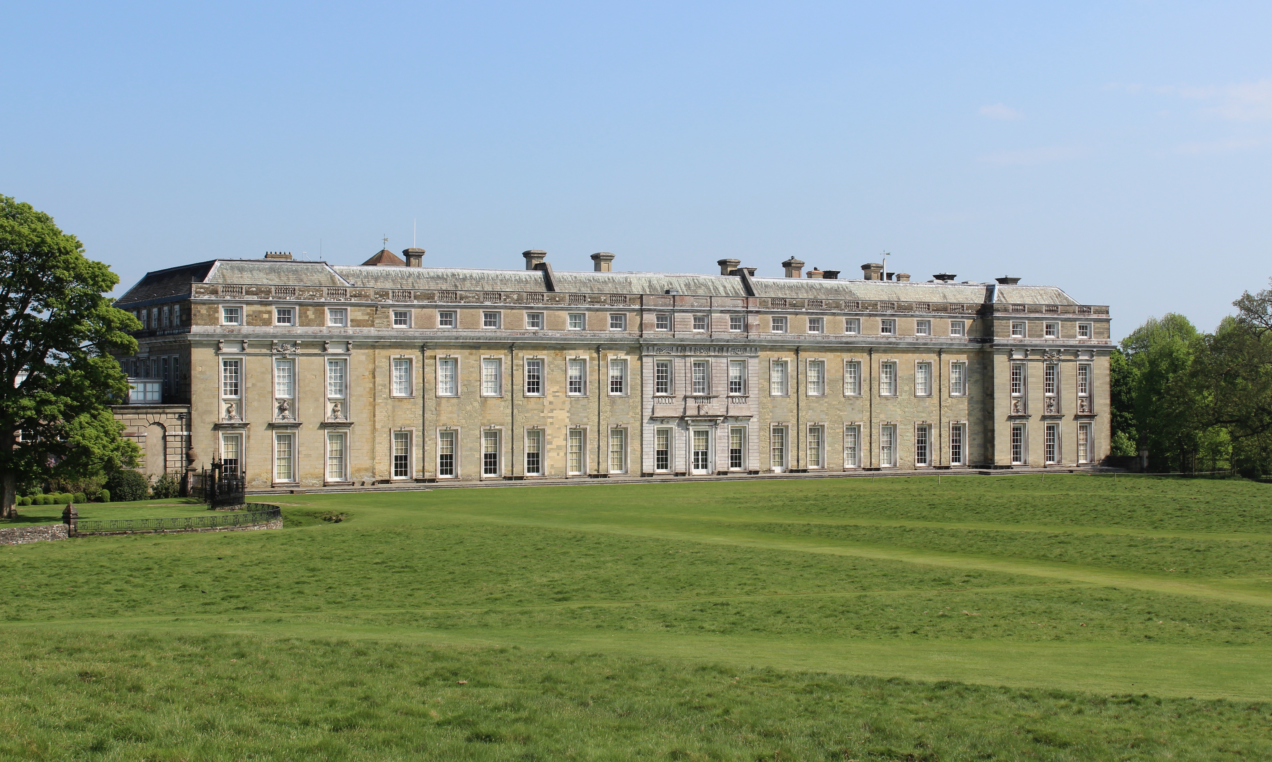
Petworth House
Petworth House in the parish of Petworth, West Sussex, England, is a late 17th-century Grade I listed country house, rebuilt in 1688 by Charles Seymour...

Leconfield Hall
Leconfield Hall, formerly Petworth Town Hall, is a municipal building in the Market Square in Petworth, West Sussex, England. The building, which is now...
Nearby Amenities
Located within 500m of 50.994736,-0.57397705Have you been to Foxhill?
Leave your review of Foxhill below (or comments, questions and feedback).