Oldham Hill
Hill, Mountain in Sussex Chichester
England
Oldham Hill
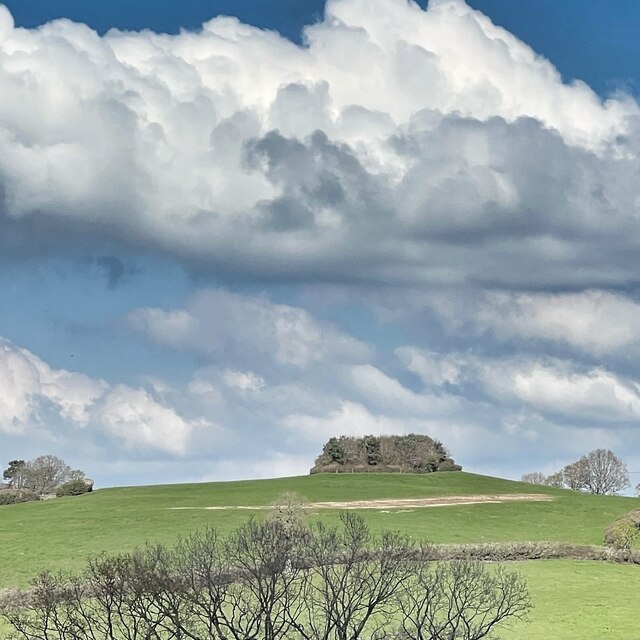
Oldham Hill, located in Sussex, is a prominent hill that rises majestically over the landscape. With an elevation of approximately 350 meters (1150 feet), it offers breathtaking panoramic views of the surrounding countryside. The hill is situated in the South Downs National Park, a designated Area of Outstanding Natural Beauty, making it a popular destination for nature enthusiasts and hikers.
Covered in rolling green meadows and dotted with patches of woodland, Oldham Hill is a haven for wildlife and boasts a diverse array of flora and fauna. The hill's slopes are adorned with vibrant wildflowers during the spring and summer months, creating a picturesque and colorful scene. The hill is also home to various species of birds, including buzzards and kestrels, which can often be spotted soaring high above.
At the summit of Oldham Hill, there is a trig point that serves as a landmark for visitors. This provides an excellent vantage point to admire the stunning vistas that stretch for miles in all directions. On a clear day, one can see as far as the English Channel, offering a glimpse of the sparkling waters that lie beyond.
Oldham Hill is a place of tranquility and natural beauty, attracting visitors who seek solace in the peaceful surroundings. Its accessibility and well-maintained footpaths make it an ideal spot for a leisurely walk or a more challenging hike. Whether it's the breathtaking views, the abundance of wildlife, or the sense of serenity, Oldham Hill is undoubtedly a must-visit destination for anyone exploring the picturesque landscapes of Sussex.
If you have any feedback on the listing, please let us know in the comments section below.
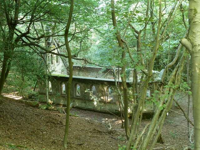
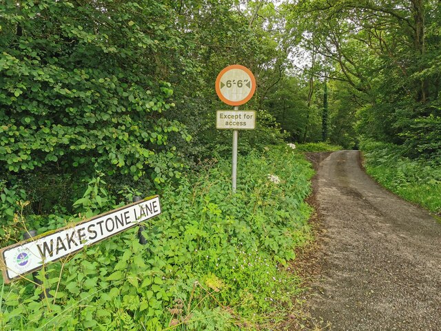
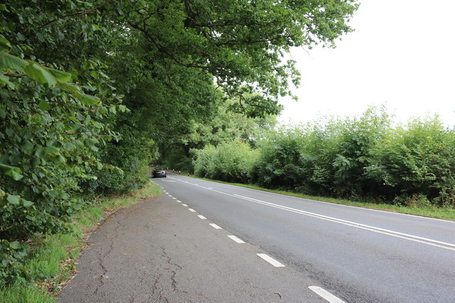
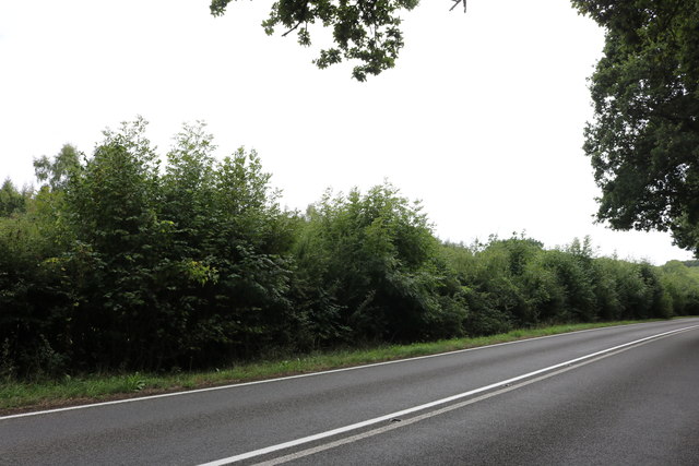
Oldham Hill Images
Images are sourced within 2km of 50.994648/-0.57557577 or Grid Reference TQ0022. Thanks to Geograph Open Source API. All images are credited.


Oldham Hill is located at Grid Ref: TQ0022 (Lat: 50.994648, Lng: -0.57557577)
Administrative County: West Sussex
District: Chichester
Police Authority: Sussex
What 3 Words
///grin.prowl.jacuzzi. Near Petworth, West Sussex
Nearby Locations
Related Wikis

Bognor Common Quarry
Bognor Common Quarry is a 25.1-hectare (62-acre) geological Site of Special Scientific Interest east of Petworth in West Sussex. It is a Geological Conservation...

Sacred Heart Church, Petworth
Sacred Heart Church is a Roman Catholic Parish church in Petworth, West Sussex, England. It was built in 1896 and designed by Frederick Walters. It is...
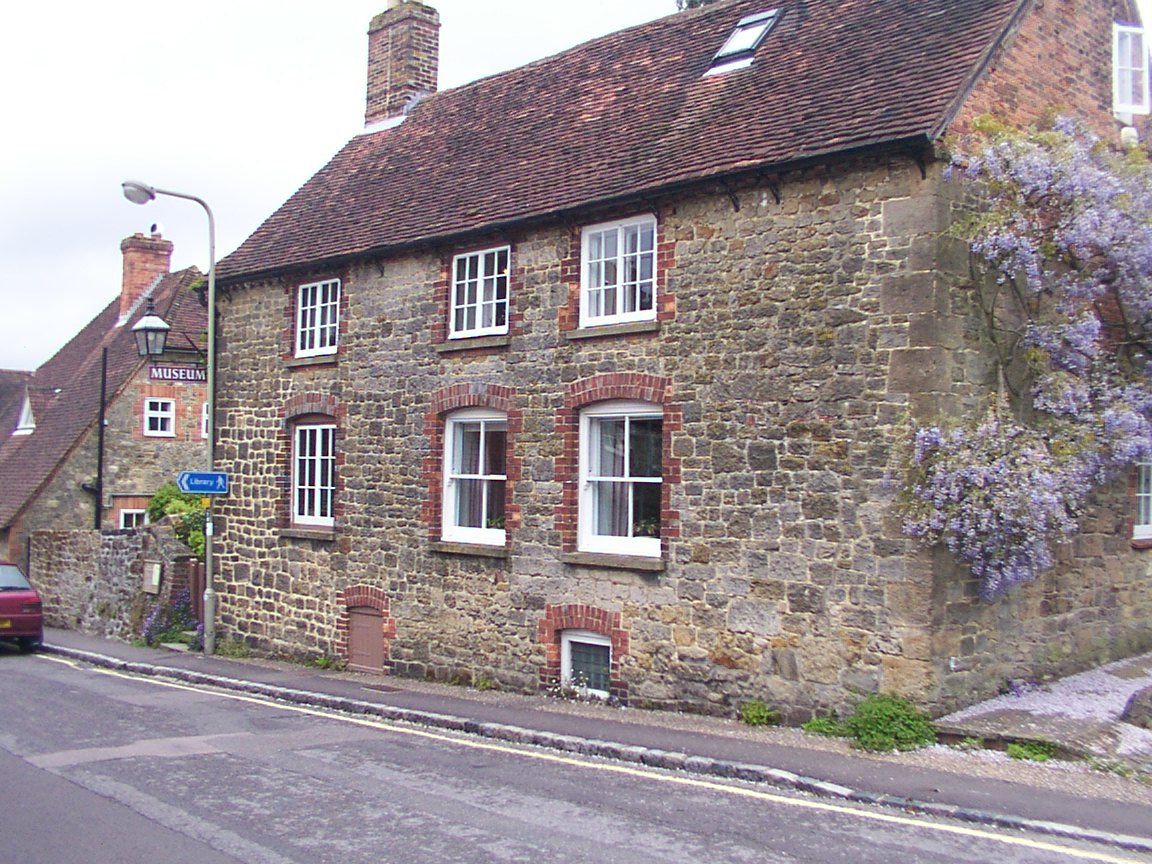
Petworth Cottage Museum
Petworth Cottage Museum, at 346 High Street, Petworth, West Sussex is a Leconfield Estate worker's cottage. It has been restored and furnished as it might...

The Mens
The Mens is a 205.2-hectare (507-acre) biological Site of Special Scientific Interest west of Billingshurst in West Sussex. It is a Nature Conservation...
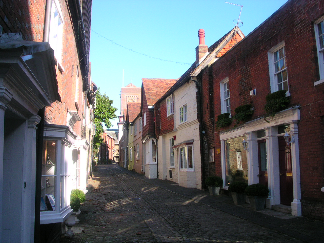
Petworth
Petworth is a town and civil parish in the Chichester District of West Sussex, England. It is located at the junction of the A272 east–west road from Heathfield...

Petworth Park
Petworth Park at Petworth, Sussex was used as the venue for three first-class cricket matches between 1824 and 1826. The ground was in front of the main...
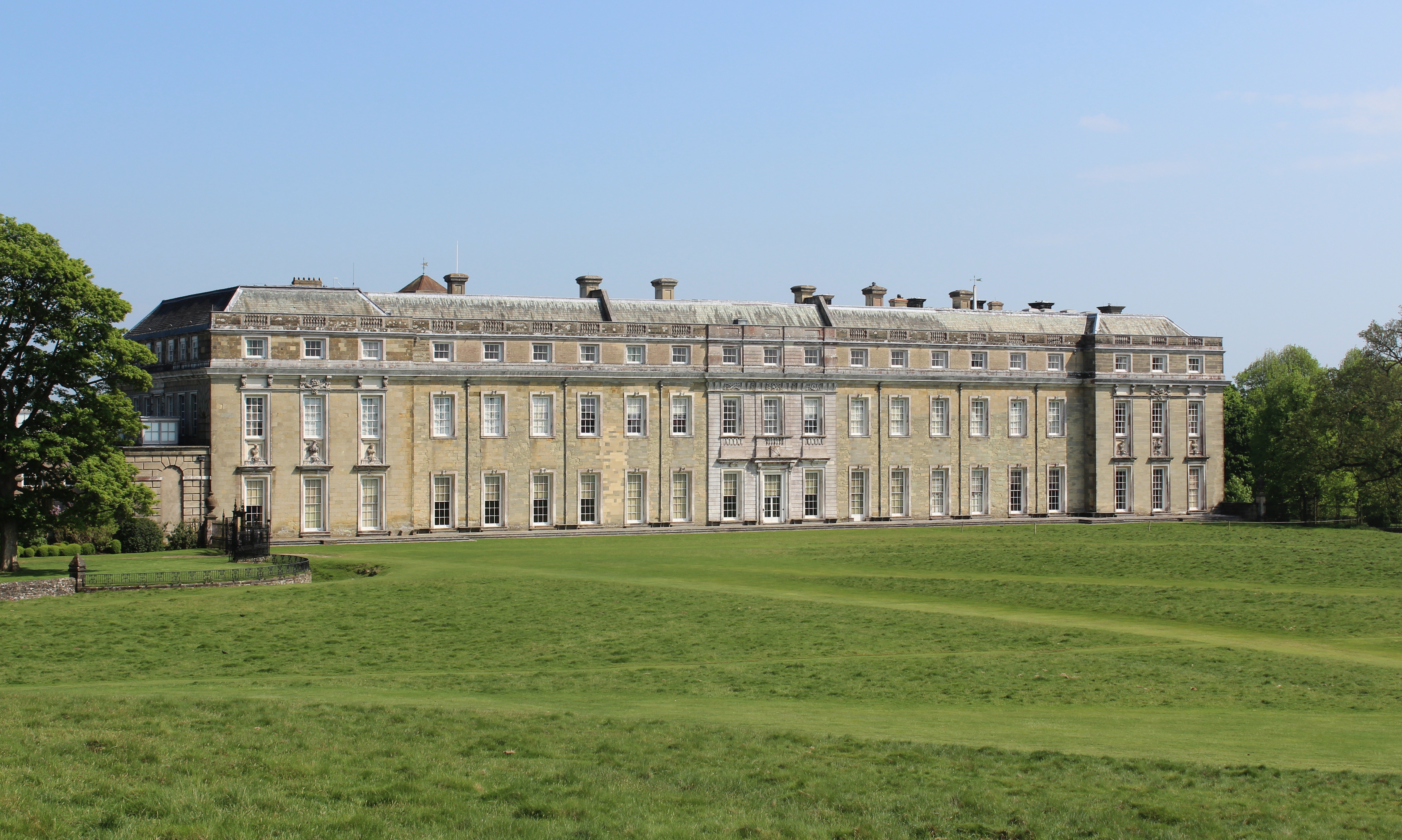
Petworth House
Petworth House in the parish of Petworth, West Sussex, England, is a late 17th-century Grade I listed country house, rebuilt in 1688 by Charles Seymour...

Leconfield Hall
Leconfield Hall, formerly Petworth Town Hall, is a municipal building in the Market Square in Petworth, West Sussex, England. The building, which is now...
Nearby Amenities
Located within 500m of 50.994648,-0.57557577Have you been to Oldham Hill?
Leave your review of Oldham Hill below (or comments, questions and feedback).