Banniards Copse

Wood, Forest in Sussex Chichester

England

Banniards Copse

Ruin, Bedham Built 1880 as a church and school, the school use closing in 1925 and final closure in 1959.
Ruin, Bedham Credit: Robin Webster

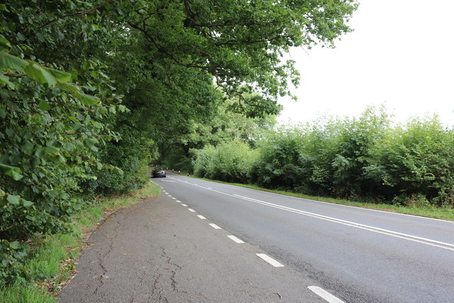
Banniards Copse is a picturesque woodland located in Sussex, England. This enchanting forest is nestled within the South Downs National Park, renowned for its stunning natural beauty and diverse wildlife. Covering an area of approximately 10 hectares, Banniards Copse attracts nature enthusiasts, hikers, and photographers alike.

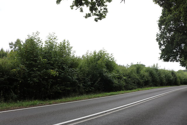
The woodland is predominantly composed of a mix of deciduous and evergreen trees, creating a rich tapestry of colors throughout the year. Towering oak and beech trees dominate the landscape, their branches forming a dense canopy that allows only dappled sunlight to filter through. This creates a tranquil and peaceful ambiance, perfect for those seeking solace in nature.

Banniards Copse is home to a wide variety of wildlife, including deer, foxes, badgers, and a plethora of bird species. The forest floor is adorned with a vibrant carpet of wildflowers during the spring and summer months, attracting butterflies and bees. The melodious sounds of birdsong can be heard throughout the day, adding to the serenity of the surroundings.

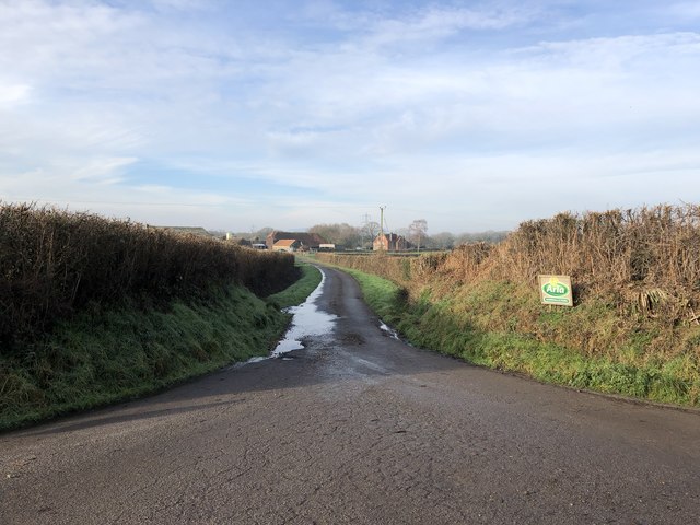
Several well-marked trails wind their way through the woodland, providing visitors with the opportunity to explore its beauty. These paths lead to hidden groves, babbling brooks, and secluded clearings, offering breathtaking views at every turn. The forest also boasts a small picnic area, allowing visitors to relax and enjoy the peaceful atmosphere while surrounded by nature.

Banniards Copse is a true gem of Sussex, with its stunning natural scenery, diverse wildlife, and tranquility. Whether it be for a leisurely walk, birdwatching, or simply to enjoy the beauty of nature, this woodland is a must-visit destination for anyone seeking solace in the great outdoors.

If you have any feedback on the listing, please let us know in the comments section below.

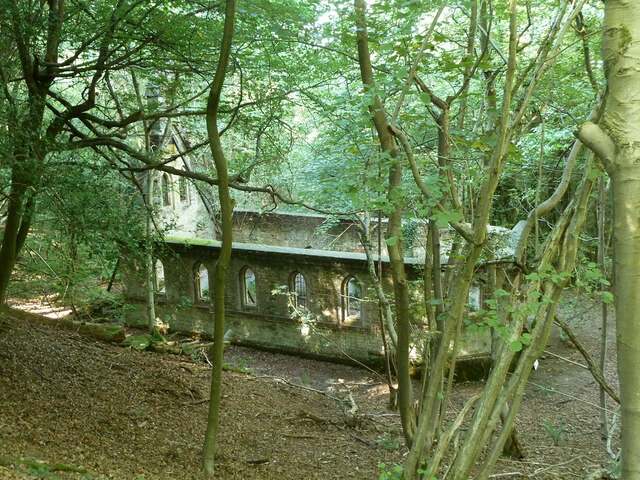
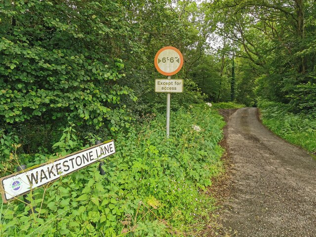
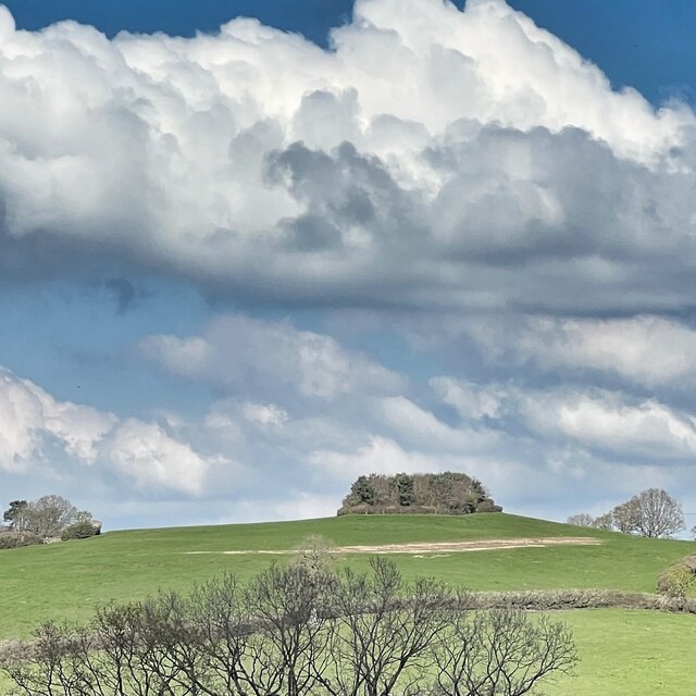
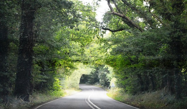
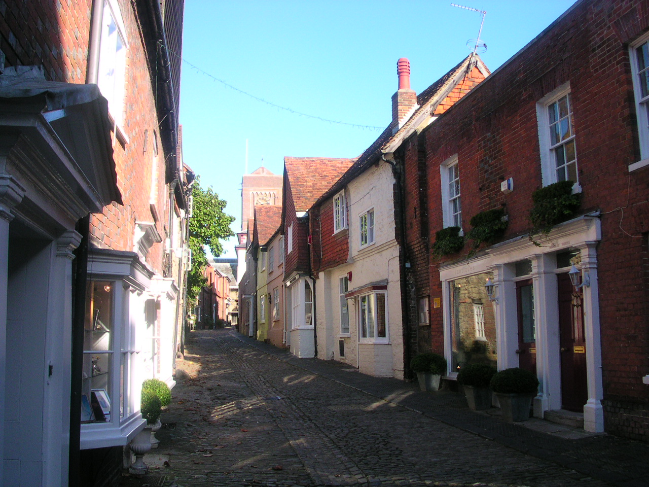
Banniards Copse Images

Images are sourced within 2km of 50.996936/-0.57076021 or Grid Reference TQ0022. Thanks to Geograph Open Source API. All images are credited.

Ruin, Bedham Built 1880 as a church and school, the school use closing in 1925 and final closure in 1959.
Ruin, Bedham
Built 1880 as a church and school, the school use closing in 1925 and final closure in 1959.
Wakestone Lane
Wakestone Lane
View NNE from Sheep Downs The clump of trees in the photo lies to the NNE of Goanah Farm.
View NNE from Sheep Downs
The clump of trees in the photo lies to the NNE of Goanah Farm.
A272, Foxhill The A272 is a very rural A road, which follows an east to west route from near Heathfield to Winchester, passing through the Sussex countryside. It runs 86 miles from Sutton Scotney to Five Ashes <a href="https://www.geograph.org.uk/photo/6669405">TQ5523 : A267, A272 junction</a>.
<span class="nowrap"><a title="http://www.sabre-roads.org.uk/wiki/index.php?title=A272" rel="nofollow ugc noopener" href="http://www.sabre-roads.org.uk/wiki/index.php?title=A272">Link</a><img style="margin-left:2px;" alt="External link" title="External link - shift click to open in new window" src="https://s1.geograph.org.uk/img/external.png" width="10" height="10"/></span> 
Wikipedia: <span class="nowrap"><a title="http://en.wikipedia.org/wiki/A272_road" rel="nofollow ugc noopener" href="http://en.wikipedia.org/wiki/A272_road">Link</a><img style="margin-left:2px;" alt="External link" title="External link - shift click to open in new window" src="https://s1.geograph.org.uk/img/external.png" width="10" height="10"/></span>
A272, Foxhill
The A272 is a very rural A road, which follows an east to west route from near Heathfield to Winchester, passing through the Sussex countryside. It runs 86 miles from Sutton Scotney to Five Ashes TQ5523 : A267, A272 junction. LinkExternal link Wikipedia: LinkExternal link
A272 The A272 is a very rural A road, which follows an east to west route from near Heathfield to Winchester, passing through the Sussex countryside. It runs 86 miles from Sutton Scotney to Five Ashes <a href="https://www.geograph.org.uk/photo/6669405">TQ5523 : A267, A272 junction</a>.
<span class="nowrap"><a title="http://www.sabre-roads.org.uk/wiki/index.php?title=A272" rel="nofollow ugc noopener" href="http://www.sabre-roads.org.uk/wiki/index.php?title=A272">Link</a><img style="margin-left:2px;" alt="External link" title="External link - shift click to open in new window" src="https://s1.geograph.org.uk/img/external.png" width="10" height="10"/></span> 
Wikipedia: <span class="nowrap"><a title="http://en.wikipedia.org/wiki/A272_road" rel="nofollow ugc noopener" href="http://en.wikipedia.org/wiki/A272_road">Link</a><img style="margin-left:2px;" alt="External link" title="External link - shift click to open in new window" src="https://s1.geograph.org.uk/img/external.png" width="10" height="10"/></span>
A272
The A272 is a very rural A road, which follows an east to west route from near Heathfield to Winchester, passing through the Sussex countryside. It runs 86 miles from Sutton Scotney to Five Ashes TQ5523 : A267, A272 junction. LinkExternal link Wikipedia: LinkExternal link
A272, The Mens The A272 is a very rural A road, which follows an east to west route from near Heathfield to Winchester, passing through the Sussex countryside. It runs 86 miles from Sutton Scotney to Five Ashes <a href="https://www.geograph.org.uk/photo/6669405">TQ5523 : A267, A272 junction</a>.
<span class="nowrap"><a title="http://www.sabre-roads.org.uk/wiki/index.php?title=A272" rel="nofollow ugc noopener" href="http://www.sabre-roads.org.uk/wiki/index.php?title=A272">Link</a><img style="margin-left:2px;" alt="External link" title="External link - shift click to open in new window" src="https://s1.geograph.org.uk/img/external.png" width="10" height="10"/></span> 
Wikipedia: <span class="nowrap"><a title="http://en.wikipedia.org/wiki/A272_road" rel="nofollow ugc noopener" href="http://en.wikipedia.org/wiki/A272_road">Link</a><img style="margin-left:2px;" alt="External link" title="External link - shift click to open in new window" src="https://s1.geograph.org.uk/img/external.png" width="10" height="10"/></span>
A272, The Mens
The A272 is a very rural A road, which follows an east to west route from near Heathfield to Winchester, passing through the Sussex countryside. It runs 86 miles from Sutton Scotney to Five Ashes TQ5523 : A267, A272 junction. LinkExternal link Wikipedia: LinkExternal link
Cottage by the A272, Strood Green
The A272 between Wisborough Green and Petworth
The A272, Foxhill
The A272, Foxhill
The A272, Foxhill
The A272, Foxhill
Bridge on Glasshouse Lane The bridge crosses a small stream passing between Marshall’s Copse and Glasshouse Copse.
Bridge on Glasshouse Lane
The bridge crosses a small stream passing between Marshall’s Copse and Glasshouse Copse.
Entrance to Marshall’s Farm Looking along the entrance road to Marshall’s Farm from the junction with Glasshouse Lane.
Entrance to Marshall’s Farm
Looking along the entrance road to Marshall’s Farm from the junction with Glasshouse Lane.
Crossroads at Oldham Hill On Glasshouse Lane approaching the A272 with Kingspit Lane on the other side of the crossroads.
Crossroads at Oldham Hill
On Glasshouse Lane approaching the A272 with Kingspit Lane on the other side of the crossroads.
Field beside Glasshouse Lane Looking over the field at Oldham Hill. In the distance the dark shape of Blackdown can be glimpsed.
Field beside Glasshouse Lane
Looking over the field at Oldham Hill. In the distance the dark shape of Blackdown can be glimpsed.
Glasshouse Lane Glasshouse Lane between Oldham Hill and Foxhill.
Glasshouse Lane
Glasshouse Lane between Oldham Hill and Foxhill.
Wickers The property known as Wickers. The clue was the name on the recycling bins.
Wickers
The property known as Wickers. The clue was the name on the recycling bins.
Approaching woodland on Glasshouse Lane Ahead the OS map shows Marshall’s Copse to the left of the lane and Glasshouse Copse to the right.
Approaching woodland on Glasshouse Lane
Ahead the OS map shows Marshall’s Copse to the left of the lane and Glasshouse Copse to the right.
Glasshouse Copse The Copse viewed from Glasshouse Lane.
Glasshouse Copse
The Copse viewed from Glasshouse Lane.
Show me another place!

Banniards Copse is located at Grid Ref: TQ0022 (Lat: 50.996936, Lng: -0.57076021)

Administrative County: West Sussex

District: Chichester

Police Authority: Sussex

What 3 Words

///raves.escorting.petrified. Near Petworth, West Sussex

Related Wikis

Bognor Common Quarry

Bognor Common Quarry is a 25.1-hectare (62-acre) geological Site of Special Scientific Interest east of Petworth in West Sussex. It is a Geological Conservation...

The Mens

The Mens is a 205.2-hectare (507-acre) biological Site of Special Scientific Interest west of Billingshurst in West Sussex. It is a Nature Conservation...

Sacred Heart Church, Petworth

Sacred Heart Church is a Roman Catholic Parish church in Petworth, West Sussex, England. It was built in 1896 and designed by Frederick Walters. It is...

Petworth Cottage Museum

Petworth Cottage Museum, at 346 High Street, Petworth, West Sussex is a Leconfield Estate worker's cottage. It has been restored and furnished as it might...

Petworth

Petworth is a town and civil parish in the Chichester District of West Sussex, England. It is located at the junction of the A272 east–west road from Heathfield...

Petworth Park

Petworth Park at Petworth, Sussex was used as the venue for three first-class cricket matches between 1824 and 1826. The ground was in front of the main...
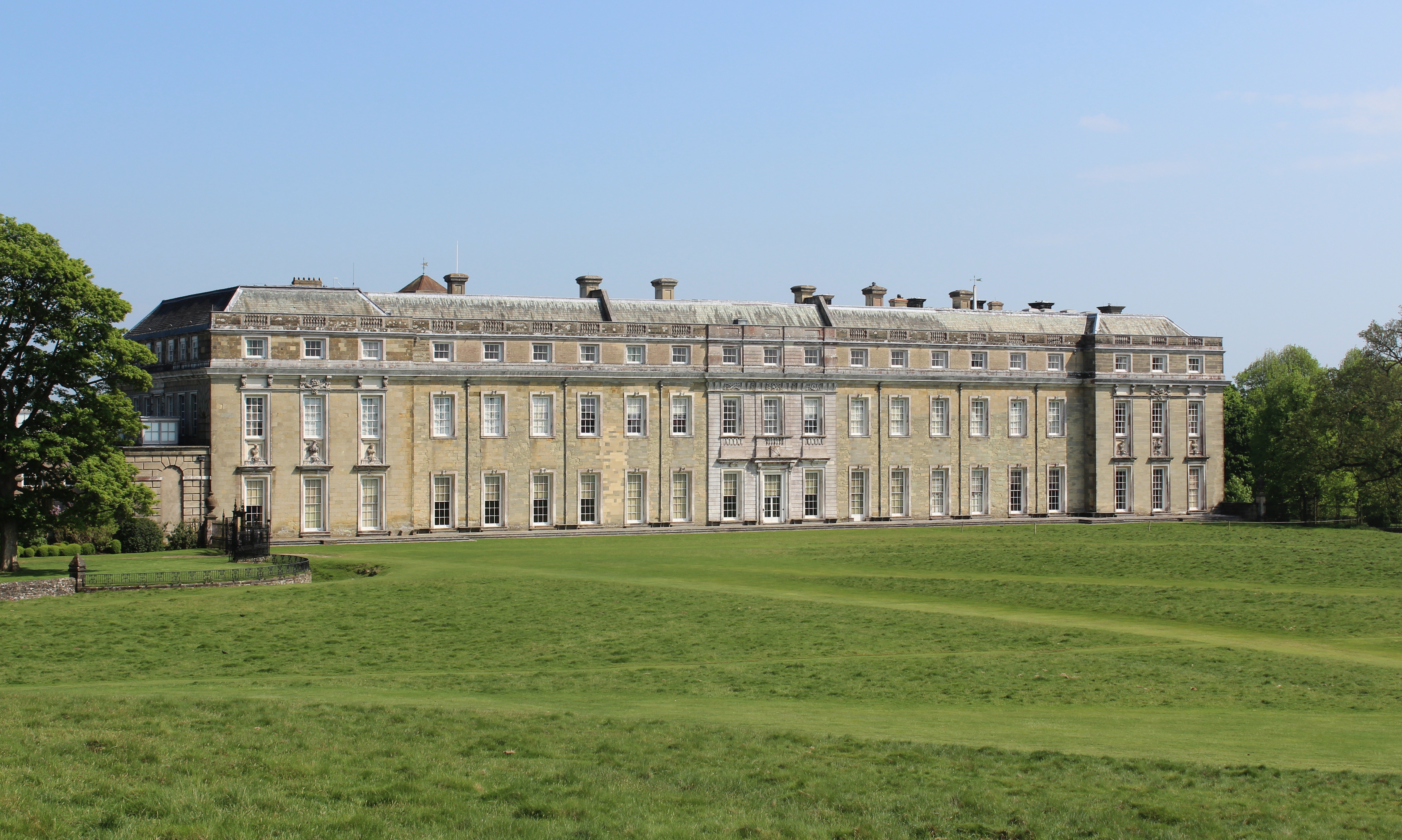
Petworth House

Petworth House in the parish of Petworth, West Sussex, England, is a late 17th-century Grade I listed country house, rebuilt in 1688 by Charles Seymour...

Leconfield Hall

Leconfield Hall, formerly Petworth Town Hall, is a municipal building in the Market Square in Petworth, West Sussex, England. The building, which is now...

Nearby Amenities

Located within 500m of 50.996936,-0.57076021
Give Way
Direction: forward
Lat/Long: 50.9943109/-0.5754657
Washout Hydrant
Fire Hydrant
Emergency: fire_hydrant
Fire Hydrant Type: underground
Survey Date: 2018-11-11
Water Source: main
Lat/Long: 50.997814/-0.5661017
Give Way
Direction: forward
Lat/Long: 50.99463/-0.5754612
The data included in this document is from www.openstreetmap.org. The data is made available under ODbL.

Have you been to Banniards Copse?

Leave your review of Banniards Copse below (or comments, questions and feedback).