Bison Hill
Hill, Mountain in Bedfordshire
England
Bison Hill
Bison Hill is a prominent hill located in the county of Bedfordshire, England. Rising to an elevation of approximately 207 meters (679 feet), it is considered one of the highest points in the region. The hill is situated within the Chiltern Hills, a range of chalk hills that spans across several counties in southern England.
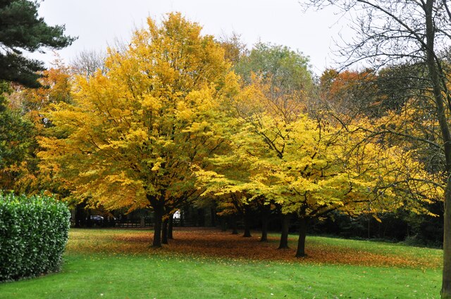
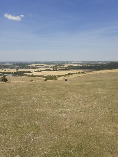
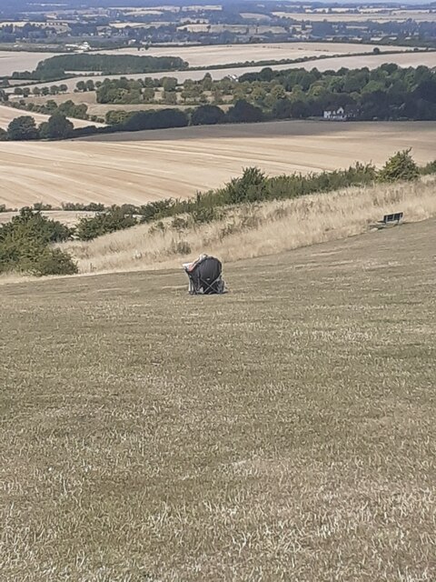
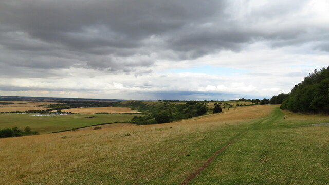
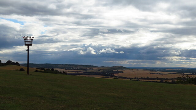
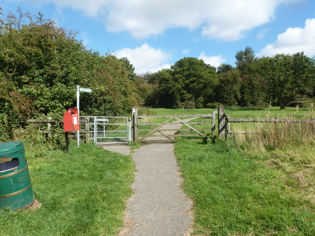
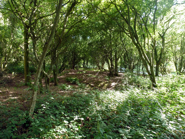
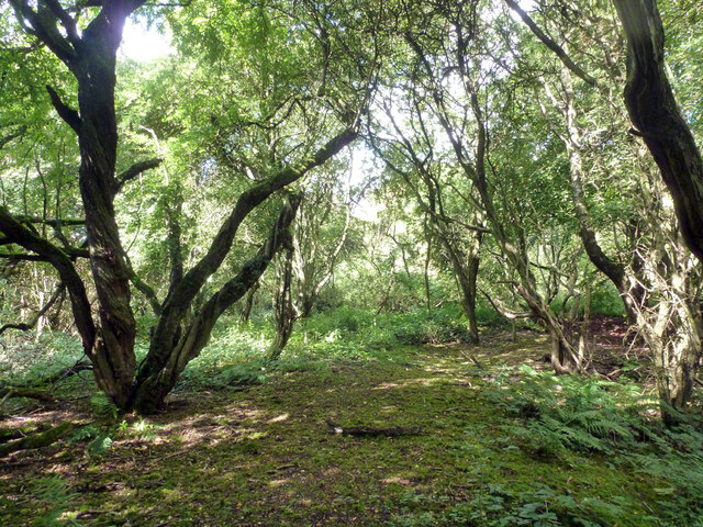
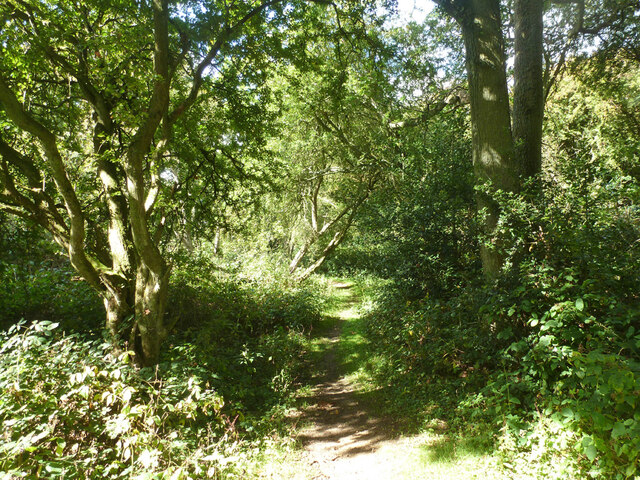
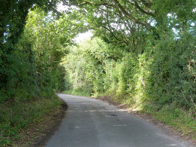
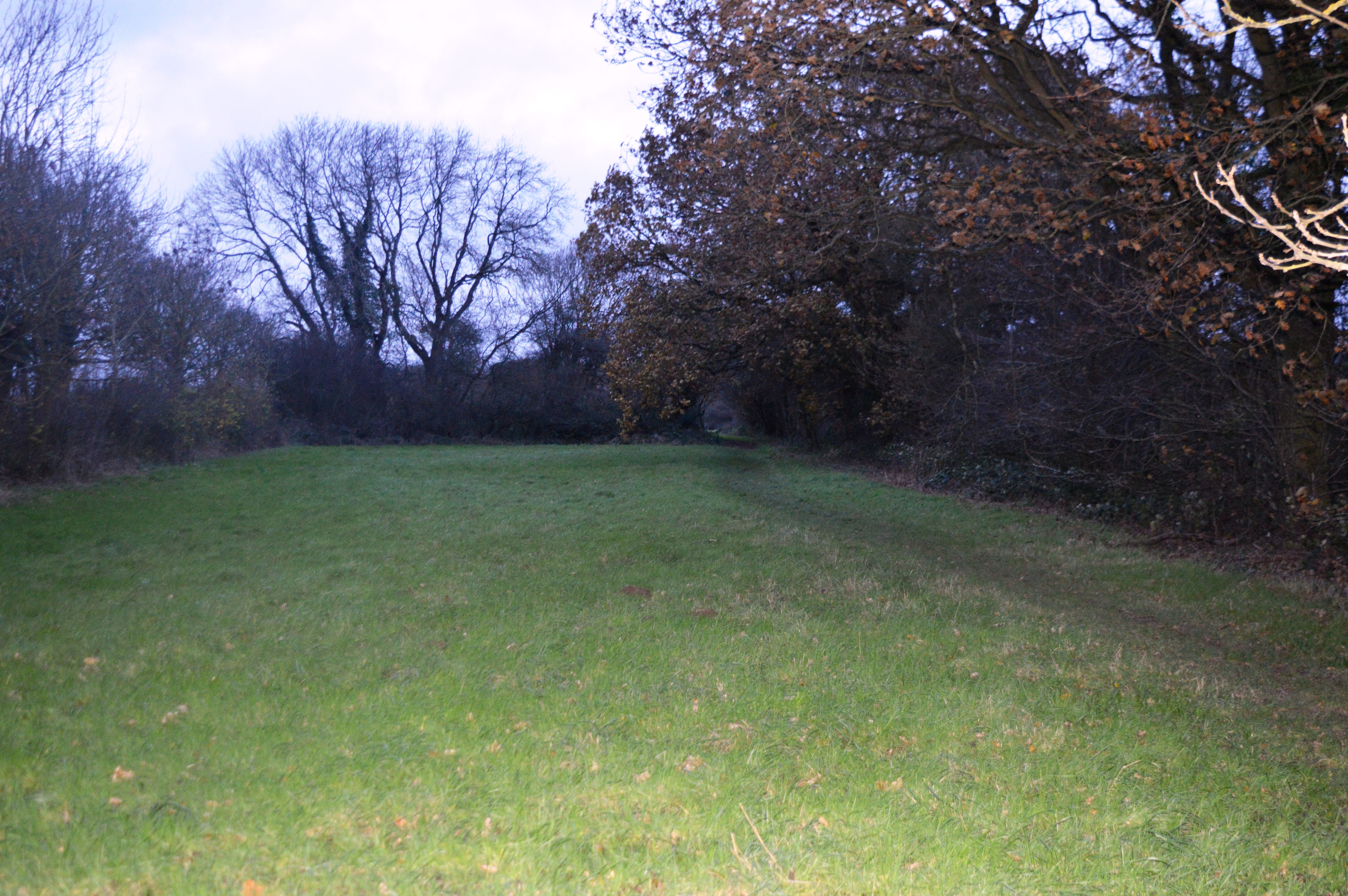
Bison Hill is renowned for its picturesque landscapes and panoramic views, attracting hikers, nature enthusiasts, and photographers alike. The hill is predominantly covered by grassland, adorned with patches of woodland and scattered trees. This combination of open spaces and wooded areas creates a diverse habitat, supporting a variety of plant and animal species.
The hill's name, Bison Hill, is derived from its historical association with the European bison, also known as the wisent. Bison once roamed these lands, grazing on the rich vegetation. Although no longer present, the name serves as a reminder of the area's past wildlife.
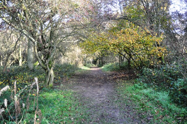
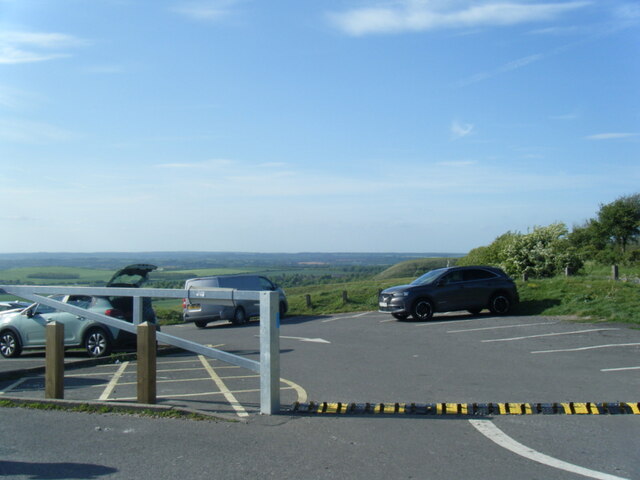
For visitors, Bison Hill offers an excellent vantage point to appreciate the surrounding countryside. On clear days, the hilltop provides breathtaking views of the rolling hills, meandering rivers, and charming villages that characterize the Bedfordshire landscape. The hill is accessible by foot, with several footpaths and trails leading to its summit.
Overall, Bison Hill is a notable geographical feature of Bedfordshire, offering visitors a chance to immerse themselves in nature and admire the beauty of the English countryside.
If you have any feedback on the listing, please let us know in the comments section below.
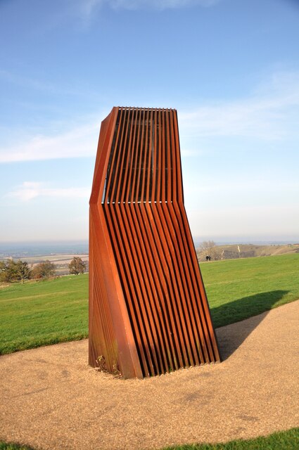
Bison Hill Images
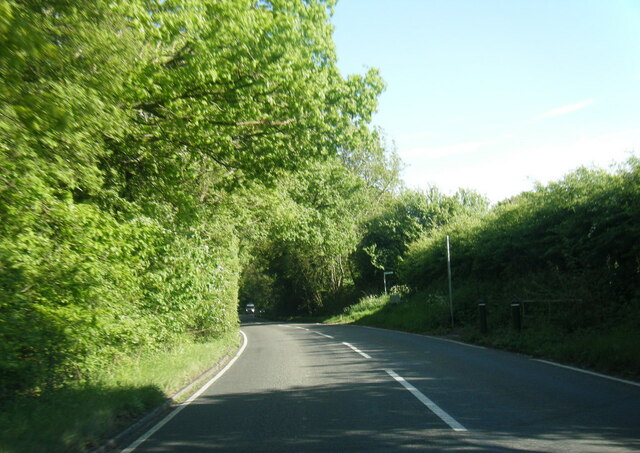
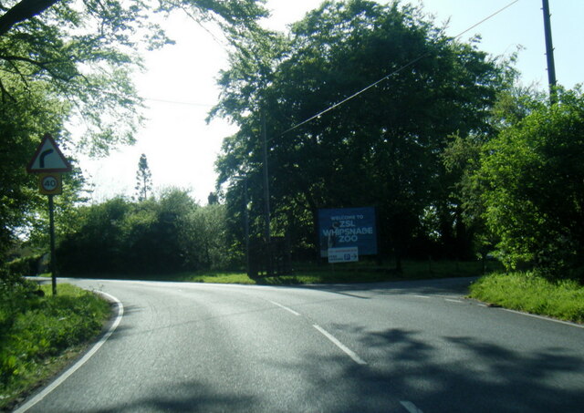
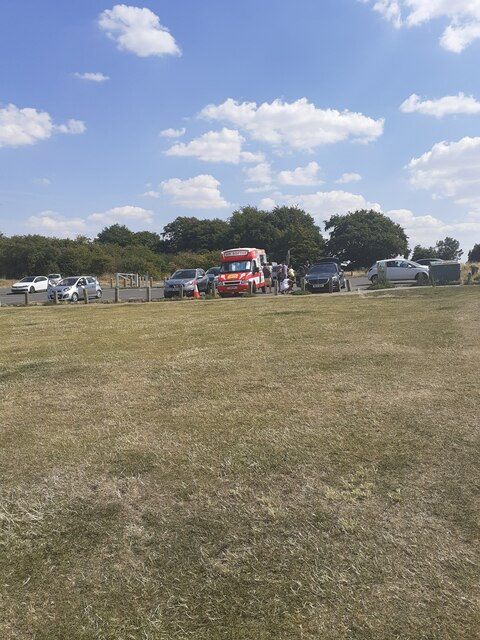
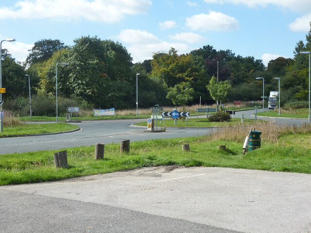
Images are sourced within 2km of 51.852504/-0.54698435 or Grid Reference TL0018. Thanks to Geograph Open Source API. All images are credited.
Bison Hill is located at Grid Ref: TL0018 (Lat: 51.852504, Lng: -0.54698435)
Unitary Authority: Central Bedfordshire
Police Authority: Bedfordshire
What 3 Words
///decency.wand.pavement. Near Kensworth, Bedfordshire
Nearby Locations
Related Wikis

Whipsnade Zoo
Whipsnade Zoo, formerly known as ZSL Whipsnade Zoo and Whipsnade Wild Animal Park, is a zoo and safari park located at Whipsnade, near Dunstable in Bedfordshire...
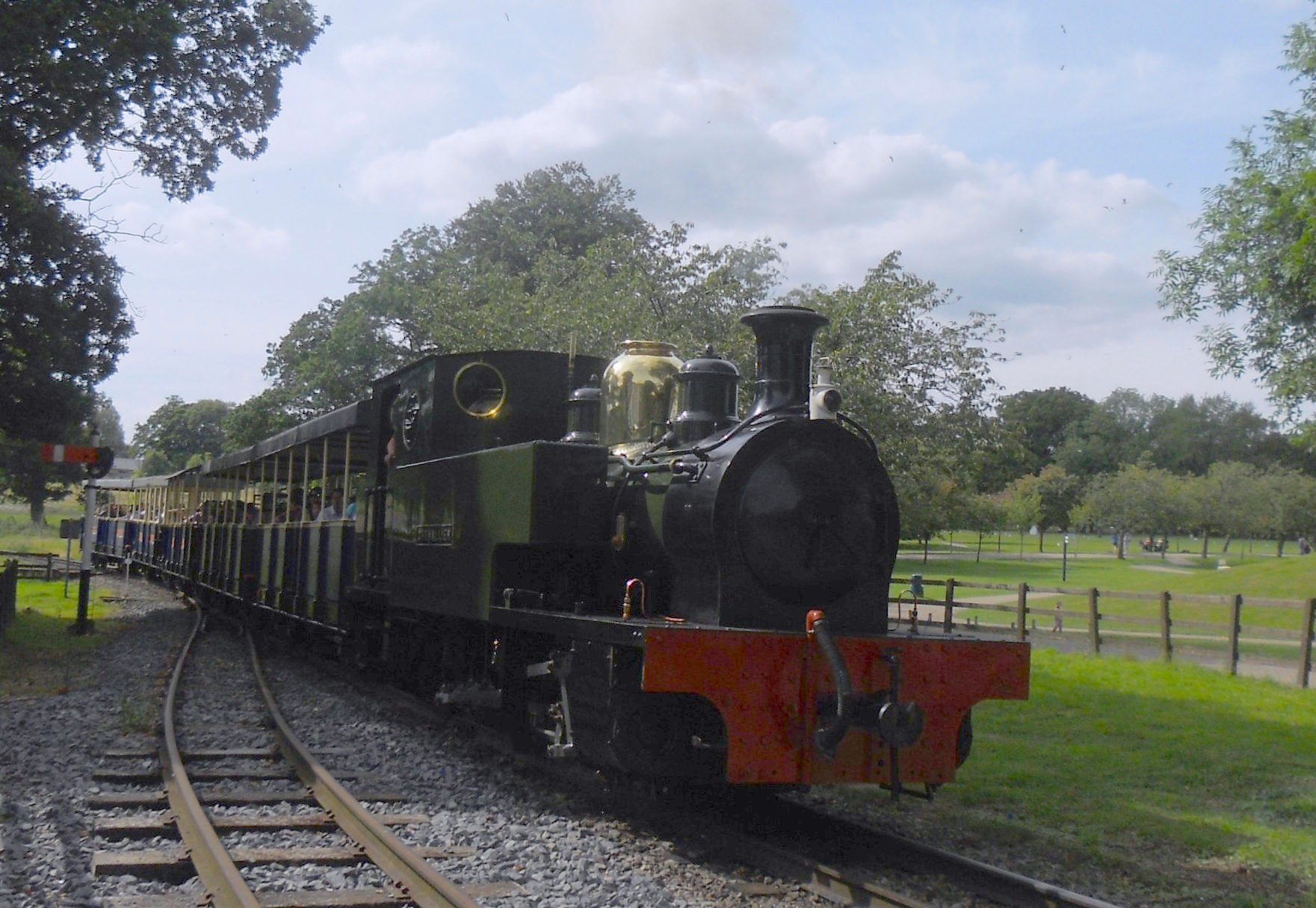
Great Whipsnade Railway
The Great Whipsnade Railway, also known as The Jumbo Express, is an English, 2 ft 6 in (762 mm) narrow gauge heritage railway that operates within ZSL...

Whipsnade Tree Cathedral
Whipsnade Tree Cathedral is a 9.5-acre (3.8 ha) garden in the village of Whipsnade in Bedfordshire, England. It is planted in the approximate form of a...
Sallowsprings
Sallowsprings is a 1.3-hectare (3.2-acre) nature reserve in Whipsnade in Bedfordshire. It is managed by the Wildlife Trust for Bedfordshire, Cambridgeshire...
Nearby Amenities
Located within 500m of 51.852504,-0.54698435Have you been to Bison Hill?
Leave your review of Bison Hill below (or comments, questions and feedback).