Four Lane Ends

Settlement in Lancashire West Lancashire

England

Four Lane Ends

Footpath between Rose Farm and Colliery Plantation
Footpath between Rose Farm and Colliery Plantation Credit: Gary Rogers

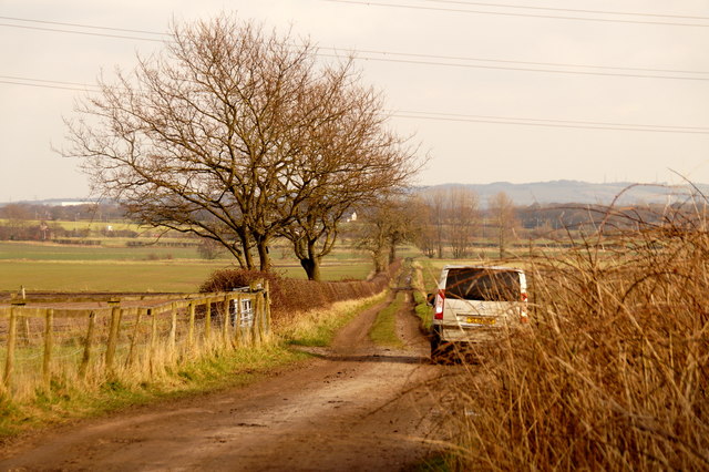
Four Lane Ends is a small village located in the county of Lancashire, in the North West region of England. Situated approximately 10 miles northwest of the city of Preston, Four Lane Ends is a predominantly rural area with a population of around 400 residents.

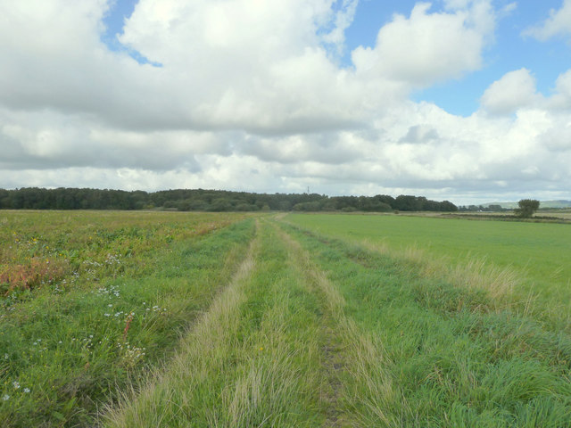
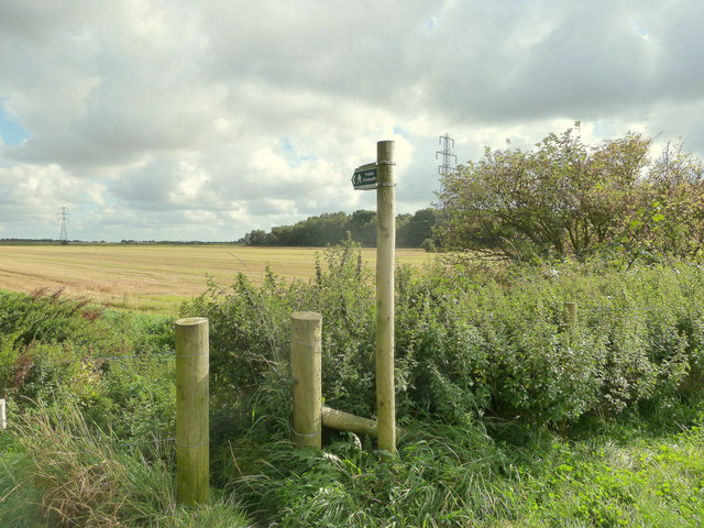
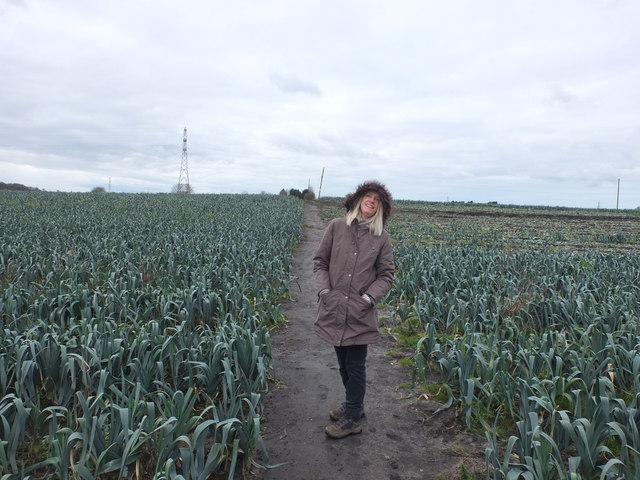
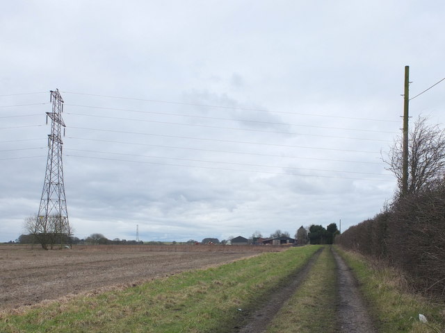
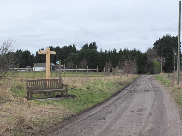
The village gets its name from the four roads that intersect at its center, forming a crossroads. These roads connect Four Lane Ends to neighboring towns and villages, providing easy access to the surrounding areas. The village is surrounded by picturesque countryside, with rolling hills and farmland, making it an attractive location for those seeking a peaceful and idyllic setting.

Although small in size, Four Lane Ends has a close-knit community that takes pride in its heritage and traditions. The village has a local pub, which serves as a social hub for residents and visitors alike, offering a friendly atmosphere and a place to gather and socialize. Additionally, the village is home to a primary school, ensuring that education is easily accessible for the local children.

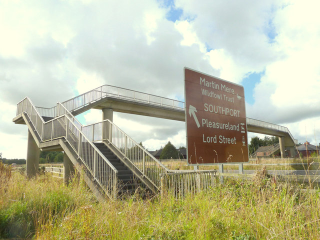
Despite being a rural area, Four Lane Ends benefits from good transportation links. The nearby M6 motorway provides easy access to larger cities such as Manchester and Liverpool, making it convenient for commuters or those looking to explore the wider region.

In summary, Four Lane Ends in Lancashire is a charming and peaceful village with a strong sense of community. Surrounded by beautiful countryside, it offers a tranquil and picturesque setting for residents and visitors to enjoy.

If you have any feedback on the listing, please let us know in the comments section below.

Four Lane Ends Images

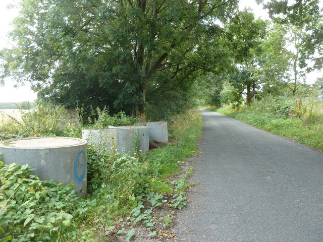
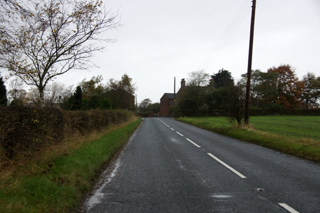
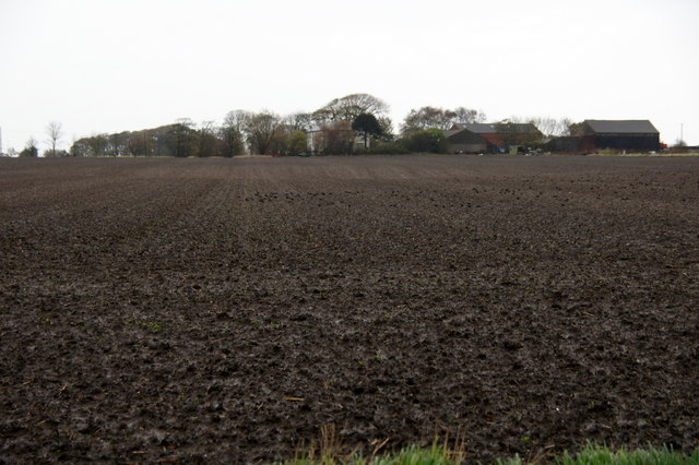
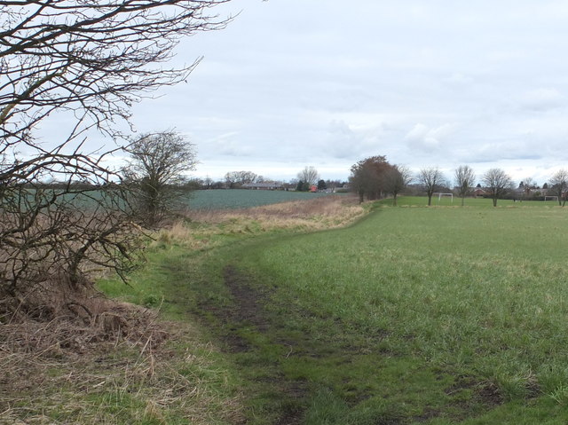
Images are sourced within 2km of 53.538879/-2.8285634 or Grid Reference SD4505. Thanks to Geograph Open Source API. All images are credited.

Footpath between Rose Farm and Colliery Plantation
Fishing pond in Colliery Plantation
Footpath from White Moss Road South to Ferny Knoll Road
Footbridge over M58 From White Moss Road South to West Gillibrands
Footbridge over M58
From White Moss Road South to West Gillibrands
White Moss Road South
Long Lane, Bickerstaffe
High Farm, between Bickerstaffe and Scarth Hill
Bickerstaffe Stocks A pair of stock stones and a presumably modern stocks.
The plaque next to the stocks has the following inscription:
'Bickerstaffe Stock Stones
The earliest documentary reference to stocks in Bickerstaffe is 1750, when William Grayston, one of the Constables of Bickerstaffe, applied for 4 shillings and 10 'old' pence for a 'new Stock Stoop a stalple and repairing of the lockes'. Stocks in Bickerstaffe were depicted on Ordinance [sic] Survey maps in 1845, 1893, 1908 and 1927.
The site is the same location as the 1845 map. Stocks are a visible reminder of one of the ways in which minor felons were published from medieval time until the 19th Century. This location is typical of the public setting in which such structure were positioned in order to give both maximum exposure to the miscreant and a warning to others of the penalties likely to be imposed for any wrong doing.
When the road junction was improved in the early 1970's, these stock stones were saved for the Parish of Bickerstaffe by the efforts of Jean Winstanley, 1931-2012.'
Bickerstaffe Stocks
A pair of stock stones and a presumably modern stocks. The plaque next to the stocks has the following inscription: 'Bickerstaffe Stock Stones The earliest documentary reference to stocks in Bickerstaffe is 1750, when William Grayston, one of the Constables of Bickerstaffe, applied for 4 shillings and 10 'old' pence for a 'new Stock Stoop a stalple and repairing of the lockes'. Stocks in Bickerstaffe were depicted on Ordinance [sic] Survey maps in 1845, 1893, 1908 and 1927. The site is the same location as the 1845 map. Stocks are a visible reminder of one of the ways in which minor felons were published from medieval time until the 19th Century. This location is typical of the public setting in which such structure were positioned in order to give both maximum exposure to the miscreant and a warning to others of the penalties likely to be imposed for any wrong doing. When the road junction was improved in the early 1970's, these stock stones were saved for the Parish of Bickerstaffe by the efforts of Jean Winstanley, 1931-2012.'
Footpath from West Gillibrands to Blaguegate across Blaguegate Moss
Footpath off Intake Lane, Bickerstaffe
Intake Lane beside Bickerstaffe Wood, Bickerstaffe
Football pitches at Blaguegate, Skelmersdale
Footpath to Holland's Farm, Blaguegate
Wendy with Leeks On footpath to Holland's Farm, Blaguegate
Wendy with Leeks
On footpath to Holland's Farm, Blaguegate
Footpath to Holland's Farm, Blaguegate
Pylons in field at Blaguegate
Barn at Holland's Farm, Blaguegate
Bench at junction of Holland's Lane and Halfpenny Lane, Blaguegate
Show me another place!

Four Lane Ends is located at Grid Ref: SD4505 (Lat: 53.538879, Lng: -2.8285634)

Administrative County: Lancashire

District: West Lancashire

Police Authority: Lancashire

What 3 Words

///dined.each.farmer. Near Skelmersdale, Lancashire

Related Wikis

Bickerstaffe

Bickerstaffe is a village and civil parish in the West Lancashire district of Lancashire, England. According to the 2001 Census the population of the civil...

White Moss Level Crossing Halt railway station

White Moss Level Crossing Halt railway station was on the Skelmersdale branch, which ran from Ormskirk to Rainford Junction via Skelmersdale. Most trains...

Skelmersdale railway station

Skelmersdale railway station was a station located on the Skelmersdale branch at Skelmersdale, England. The station was originally named Blague Gate, having...

Lathom South

Lathom South is a civil parish in the West Lancashire district of Lancashire, England, situated near the towns of Ormskirk and Skelmersdale. The parish...

Nearby Amenities

Located within 500m of 53.538879,-2.8285634
Crossing
Crossing: unmarked
Crossing Markings: no
Lat/Long: 53.5382169/-2.8289394
Crossing
Crossing: unmarked
Tactile Paving: yes
Lat/Long: 53.5353864/-2.8258588
Power: tower
Lat/Long: 53.5420616/-2.8308559
Power: tower
Lat/Long: 53.5397556/-2.8307976
Power: tower
Lat/Long: 53.5367448/-2.8306486
Power: tower
Lat/Long: 53.534661/-2.8305172
Motorway Junction
Bickerstaffe Interchange
Ref: 3
Source: bing
Lat/Long: 53.5358747/-2.8336356
Crossing
Crossing: unmarked
Crossing Island: no
Tactile Paving: yes
Lat/Long: 53.5351989/-2.8251758
Barrier: kerb
Kerb: lowered
Tactile Paving: yes
Wheelchair: yes
Lat/Long: 53.5351599/-2.8251283
Crossing
Crossing: unmarked
Tactile Paving: yes
Lat/Long: 53.5354951/-2.8257302
Crossing
Crossing: unmarked
Crossing Island: no
Crossing Markings: no
Tactile Paving: yes
Lat/Long: 53.5363159/-2.8257437
Fast Food
Subway
Addr City: Lancashire
Addr Postcode: L39 0EZ
Addr Street: Skelmersdale Road
Brand: Subway
Brand Wikidata: Q244457
Brand Wikipedia: en:Subway (restaurant)
Contact Website: https://restaurants.subway.com/united-kingdom/en/ormskirk/skelmersdale-road-bickerstaffe
Cuisine: sandwich
Fhrs Id: 931094
Takeaway: yes
Lat/Long: 53.5388418/-2.8279938
Crossing
Crossing: unmarked
Crossing Markings: no
Lat/Long: 53.538284/-2.8287471
Barrier: kerb
Kerb: lowered
Tactile Paving: yes
Wheelchair: yes
Lat/Long: 53.536704/-2.8286006
Side: right
Traffic Sign Forward: GB:671
Lat/Long: 53.5356876/-2.8264582
Crossing
Crossing: unmarked
Crossing Island: no
Crossing Markings: no
Tactile Paving: yes
Lat/Long: 53.5367261/-2.8286384
Give Way
Lat/Long: 53.5384035/-2.8291971
Crossing
Crossing: unmarked
Crossing Markings: no
Lat/Long: 53.5378239/-2.8285644
Crossing
Crossing: unmarked
Crossing Markings: no
Lat/Long: 53.5378851/-2.8283673
Give Way
Direction: forward
Lat/Long: 53.5362493/-2.825845
Crossing
Crossing: unmarked
Crossing Markings: no
Lat/Long: 53.5391048/-2.8293275
Crossing
Crossing: unmarked
Crossing Markings: no
Lat/Long: 53.5384989/-2.8299159
Give Way
Direction: forward
Lat/Long: 53.5368727/-2.8284418
Give Way
Direction: forward
Lat/Long: 53.5356876/-2.8267573
Barrier: kerb
Kerb: lowered
Tactile Paving: yes
Wheelchair: yes
Lat/Long: 53.5358386/-2.827577
Barrier: kerb
Kerb: lowered
Tactile Paving: yes
Wheelchair: yes
Lat/Long: 53.5363539/-2.825795
Crossing
Crossing: unmarked
Crossing Markings: no
Lat/Long: 53.539105/-2.8295772
Crossing
Crossing: unmarked
Crossing Markings: no
Lat/Long: 53.5386212/-2.8299689
Crossing
Crossing: unmarked
Crossing Island: no
Crossing Markings: no
Tactile Paving: yes
Lat/Long: 53.5358055/-2.8275895
Crossing
Crossing: unmarked
Crossing Island: no
Crossing Markings: no
Tactile Paving: yes
Lat/Long: 53.537285/-2.8266838
Give Way
Direction: forward
Lat/Long: 53.5374243/-2.8277108
Crossing
Crossing: unmarked
Crossing Island: yes
Tactile Paving: yes
Lat/Long: 53.5388957/-2.8330061
Power: pole
Lat/Long: 53.53693/-2.83376
Power: pole
Lat/Long: 53.5369397/-2.832593
Power: pole
Lat/Long: 53.5369397/-2.8314215
Power: pole
Lat/Long: 53.5369309/-2.8299717
Power: pole
Lat/Long: 53.5369212/-2.8293156
Material: wood
Power: pole
Lat/Long: 53.5372486/-2.8285278
Material: wood
Power: pole
Lat/Long: 53.5376042/-2.8276481
Power: pole
Lat/Long: 53.5380997/-2.8263937
Power: pole
Lat/Long: 53.5388926/-2.824507
Power: pole
Lat/Long: 53.539352/-2.8233889
Power: pole
Lat/Long: 53.5398405/-2.8222338
Give Way
Lat/Long: 53.5387006/-2.8298564
Give Way
Lat/Long: 53.5390584/-2.8292565
Give Way
Lat/Long: 53.5387728/-2.8287493
Barrier: kerb
Kerb: lowered
Tactile Paving: yes
Wheelchair: yes
Lat/Long: 53.5372535/-2.8267023
Barrier: kerb
Kerb: lowered
Tactile Paving: yes
Wheelchair: yes
Lat/Long: 53.5373165/-2.8266652
Barrier: kerb
Kerb: lowered
Tactile Paving: yes
Wheelchair: yes
Lat/Long: 53.5352378/-2.8252233
Barrier: kerb
Kerb: lowered
Tactile Paving: yes
Wheelchair: yes
Lat/Long: 53.5367482/-2.8286761
Barrier: kerb
Kerb: lowered
Tactile Paving: yes
Wheelchair: yes
Lat/Long: 53.5357724/-2.827602
Barrier: kerb
Kerb: lowered
Tactile Paving: yes
Wheelchair: yes
Lat/Long: 53.5355154/-2.8256865
Barrier: kerb
Kerb: lowered
Tactile Paving: yes
Wheelchair: yes
Lat/Long: 53.5354766/-2.8257699
Barrier: kerb
Kerb: lowered
Tactile Paving: yes
Wheelchair: yes
Lat/Long: 53.5354067/-2.8258192
Barrier: kerb
Kerb: lowered
Tactile Paving: yes
Wheelchair: yes
Lat/Long: 53.5353664/-2.825906
Barrier: kerb
Kerb: lowered
Tactile Paving: yes
Wheelchair: yes
Lat/Long: 53.5362875/-2.8257054
Noexit: yes
Lat/Long: 53.5390769/-2.8282861
Crossing
Crossing: unmarked
Lat/Long: 53.5391696/-2.8289783
Crossing
Crossing: unmarked
Lat/Long: 53.5427949/-2.8308301
Car Wash
Lat/Long: 53.5385341/-2.8276067
The data included in this document is from www.openstreetmap.org. The data is made available under ODbL.

Have you been to Four Lane Ends?

Leave your review of Four Lane Ends below (or comments, questions and feedback).