Blaguegate Moss
Downs, Moorland in Lancashire West Lancashire
England
Blaguegate Moss
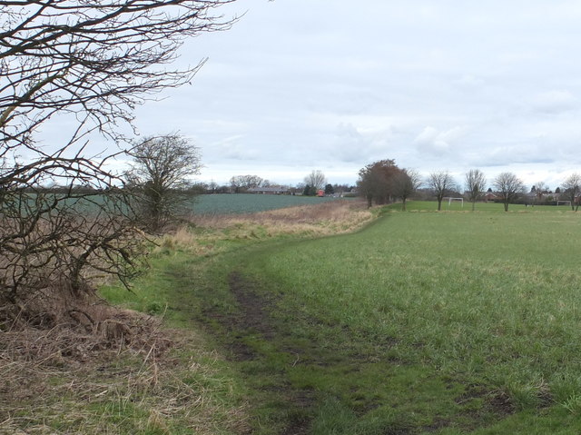
Blaguegate Moss is a picturesque area located in the county of Lancashire, England. It is situated on the outskirts of the village of Downholland Cross, surrounded by rolling hills, downs, and moorland. This tranquil landscape offers breathtaking views and a peaceful retreat for nature enthusiasts.
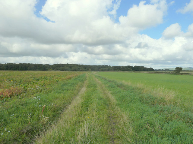
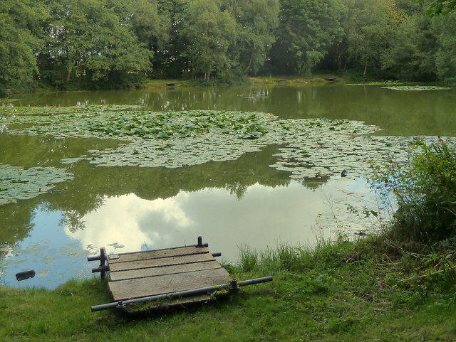
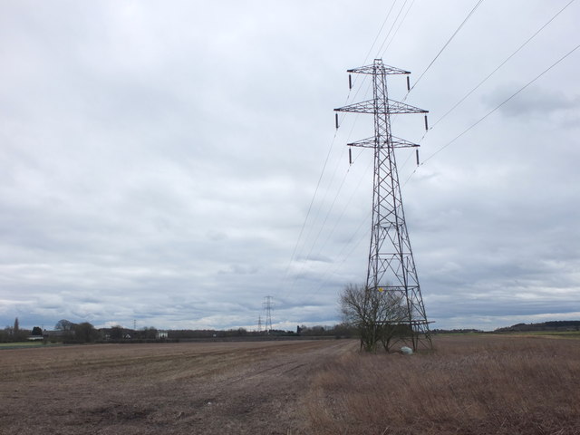
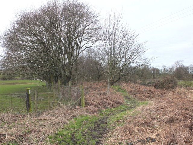
Covering an area of approximately 10 square kilometers, Blaguegate Moss is predominantly characterized by its diverse vegetation and unique ecosystem. The moss itself refers to an area of wetland, consisting of peat bogs and marshes, which plays a vital role in supporting an array of plant and animal species. The rich biodiversity found here is a result of the wet and acidic conditions, creating a habitat suitable for rare and specialized flora and fauna.
The moss is home to an impressive variety of plants, including heather, cotton grass, and sphagnum moss, which contribute to the vibrant color palette observed throughout the year. These plants also serve as a haven for numerous bird species, such as curlews, lapwings, and snipes, making it a popular destination for birdwatchers.
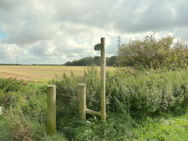
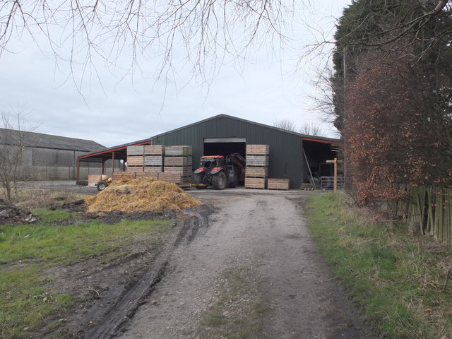
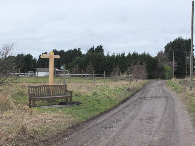
Blaguegate Moss offers a network of footpaths and trails, allowing visitors to explore and appreciate the natural beauty of the area. It is not only a haven for wildlife enthusiasts but also a place of interest for those seeking tranquility and a chance to reconnect with nature.
Overall, Blaguegate Moss is a remarkable destination for anyone seeking to immerse themselves in the beauty of Lancashire's downs and moorland. Its unique ecosystem, stunning landscapes, and diverse wildlife make it a truly special place to visit and explore.
If you have any feedback on the listing, please let us know in the comments section below.
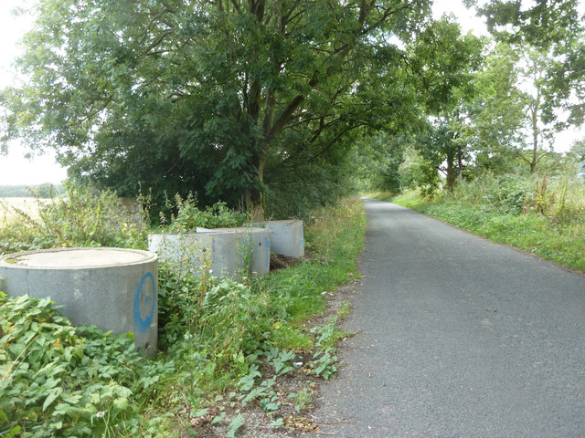
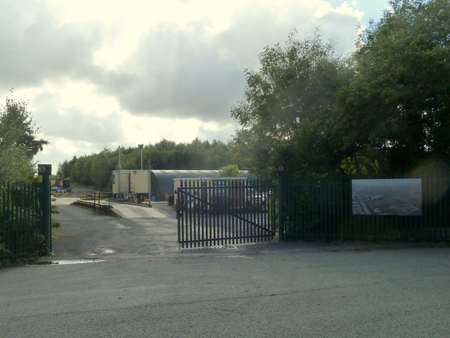
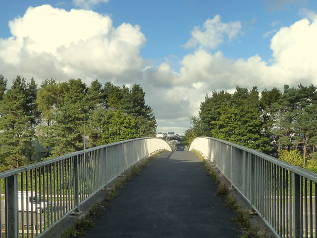
Blaguegate Moss Images
Images are sourced within 2km of 53.547046/-2.8200599 or Grid Reference SD4505. Thanks to Geograph Open Source API. All images are credited.
![Bickerstaffe Stocks A pair of stock stones and a presumably modern stocks.
The plaque next to the stocks has the following inscription:
'Bickerstaffe Stock Stones
The earliest documentary reference to stocks in Bickerstaffe is 1750, when William Grayston, one of the Constables of Bickerstaffe, applied for 4 shillings and 10 'old' pence for a 'new Stock Stoop a stalple and repairing of the lockes'. Stocks in Bickerstaffe were depicted on Ordinance [sic] Survey maps in 1845, 1893, 1908 and 1927.
The site is the same location as the 1845 map. Stocks are a visible reminder of one of the ways in which minor felons were published from medieval time until the 19th Century. This location is typical of the public setting in which such structure were positioned in order to give both maximum exposure to the miscreant and a warning to others of the penalties likely to be imposed for any wrong doing.
When the road junction was improved in the early 1970's, these stock stones were saved for the Parish of Bickerstaffe by the efforts of Jean Winstanley, 1931-2012.'](https://s1.geograph.org.uk/geophotos/04/77/71/4777185_8a480256.jpg)

Blaguegate Moss is located at Grid Ref: SD4505 (Lat: 53.547046, Lng: -2.8200599)
Administrative County: Lancashire
District: West Lancashire
Police Authority: Lancashire
What 3 Words
///sweetened.duties.panting. Near Skelmersdale, Lancashire
Nearby Locations
Related Wikis

Skelmersdale railway station
Skelmersdale railway station was a station located on the Skelmersdale branch at Skelmersdale, England. The station was originally named Blague Gate, having...

Lathom South
Lathom South is a civil parish in the West Lancashire district of Lancashire, England, situated near the towns of Ormskirk and Skelmersdale. The parish...

White Moss Level Crossing Halt railway station
White Moss Level Crossing Halt railway station was on the Skelmersdale branch, which ran from Ormskirk to Rainford Junction via Skelmersdale. Most trains...

West Lancashire (UK Parliament constituency)
West Lancashire is a county constituency represented in the House of Commons of the UK Parliament. Following the resignation of Labour MP Rosie Cooper...
Nearby Amenities
Located within 500m of 53.547046,-2.8200599Have you been to Blaguegate Moss?
Leave your review of Blaguegate Moss below (or comments, questions and feedback).