Ferryton

Settlement in Cromartyshire

Scotland

Ferryton

Resolis Kirk
Resolis Kirk Credit: Peter Moore

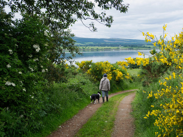
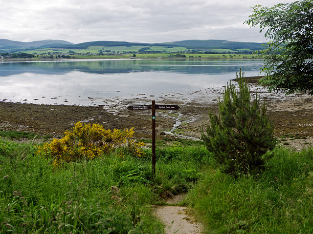
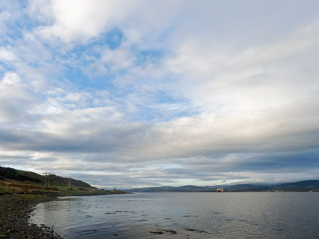
Ferryton is a small coastal town located in the county of Cromartyshire, Scotland. Situated on the eastern shore of the Cromarty Firth, it is known for its picturesque views of the water and surrounding landscapes. With a population of approximately 2,500 residents, Ferryton offers a close-knit community feel with a range of amenities and attractions.

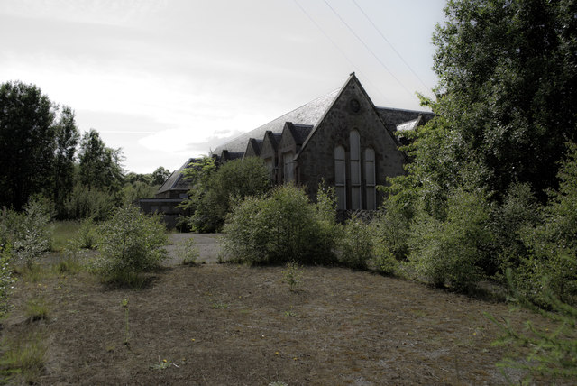
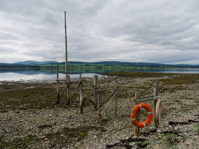
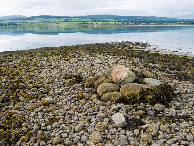
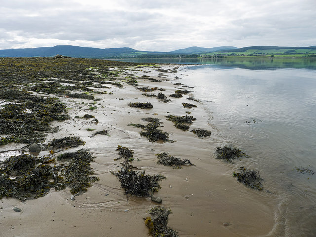
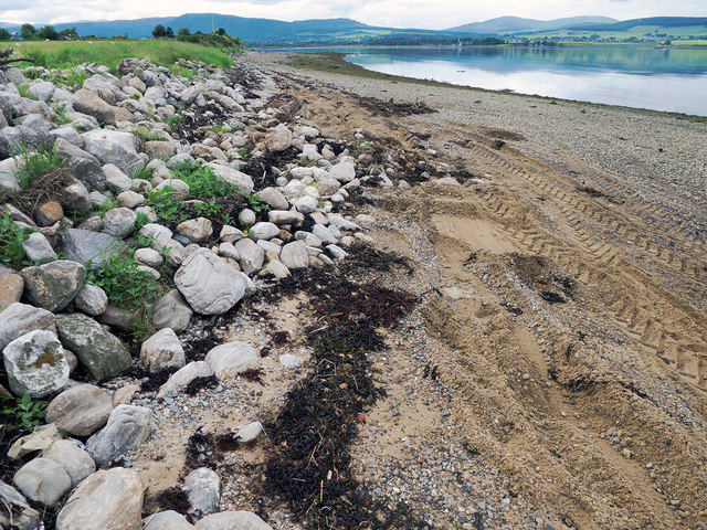
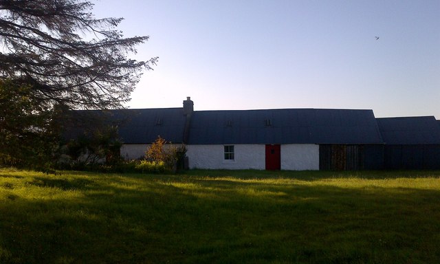
The town's history dates back centuries, with evidence of settlements in the area since the Iron Age. Over the years, Ferryton has prospered as a fishing and trading port, benefiting from its strategic location on the firth. Today, remnants of its maritime past can still be seen in the well-preserved harbor and traditional fishing boats dotting the shoreline.

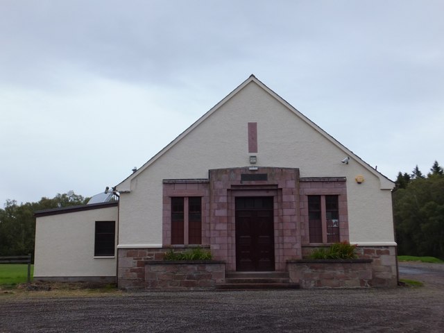
Ferryton boasts a vibrant town center, with a variety of shops, cafes, and local businesses catering to both residents and visitors. The town's main street is lined with charming stone buildings, showcasing its rich architectural heritage. Additionally, a weekly market offers fresh produce and handmade crafts, adding to the town's bustling atmosphere.

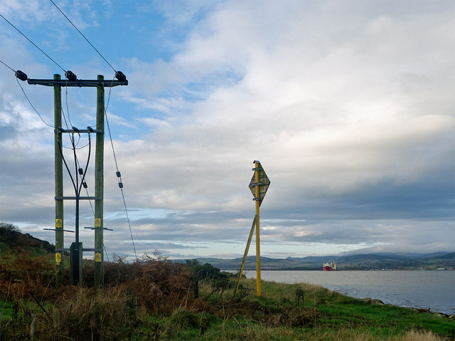
For nature enthusiasts, Ferryton provides ample opportunities to explore the great outdoors. The nearby Cromarty Firth is a haven for birdwatching, with an array of seabirds and waders frequenting the shores. The surrounding countryside also offers numerous walking trails, allowing visitors to discover the stunning scenery of Cromartyshire.

Overall, Ferryton is a charming coastal town that combines historical charm with natural beauty. Its strong sense of community and range of attractions make it an appealing destination for both locals and tourists seeking a tranquil and picturesque Scottish experience.

If you have any feedback on the listing, please let us know in the comments section below.

Ferryton Images

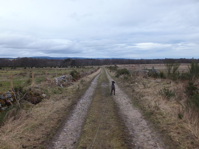
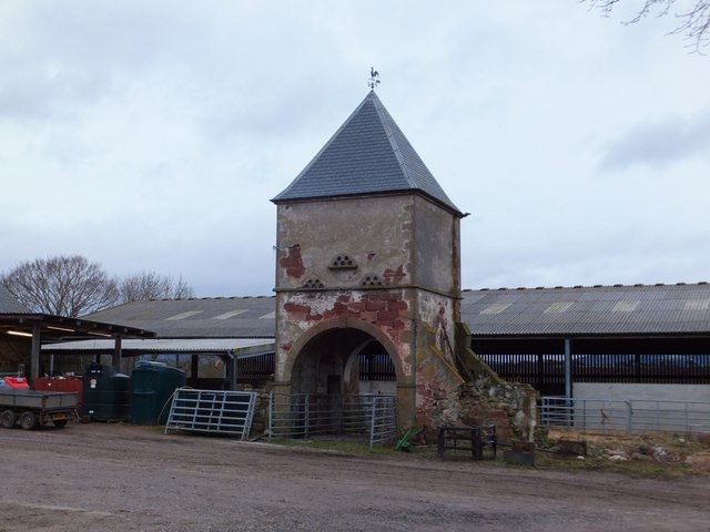
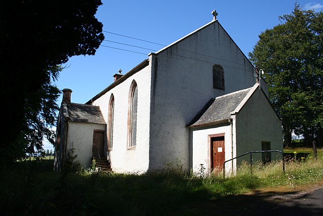
Images are sourced within 2km of 57.663383/-4.2111115 or Grid Reference NH6865. Thanks to Geograph Open Source API. All images are credited.

Resolis Kirk
Resolis Kirk
Former School at Newhall
Drive to Store House at Ferryton Point The drive provides the link to the waymarked route along the Cromarty Firth coastline of the Black Isle.
Drive to Store House at Ferryton Point
The drive provides the link to the waymarked route along the Cromarty Firth coastline of the Black Isle.
Near Ferryton Point Maybe this is the jetty marked on the maps.  It is the only structure on the beach.  If it is, this is the historic spot where travellers used the ferry at Ferryton Point to travel north across the Cromarty Firth.
Near Ferryton Point
Maybe this is the jetty marked on the maps. It is the only structure on the beach. If it is, this is the historic spot where travellers used the ferry at Ferryton Point to travel north across the Cromarty Firth.
Linking path to the shore by Ferryton Point The stretch of coast between Castle Craig and Newhall Point has a set of waymarkers although there is no footpath - just a coast to follow.  The watymarkers show where you can leave the coast and head back inland.
Linking path to the shore by Ferryton Point
The stretch of coast between Castle Craig and Newhall Point has a set of waymarkers although there is no footpath - just a coast to follow. The watymarkers show where you can leave the coast and head back inland.
Pile of stones on Ferryton Point Carefully arranged stones, but no reason for this mini-cairn was evident.  Only the top of this ridge was clear of seaweed.
Pile of stones on Ferryton Point
Carefully arranged stones, but no reason for this mini-cairn was evident. Only the top of this ridge was clear of seaweed.
Sand and seaweed at Ferryton Point Firm mud was easier to walk on than either the seaweed or the slippery shingle shore.
Sand and seaweed at Ferryton Point
Firm mud was easier to walk on than either the seaweed or the slippery shingle shore.
Rudimentary sea wall at Ferryton A few stones to delineate the land from the realm of the sea.  However a tractor with scoop was at work improving them while I walked the shore - witnessed by the tractor tyre marks.
Rudimentary sea wall at Ferryton
A few stones to delineate the land from the realm of the sea. However a tractor with scoop was at work improving them while I walked the shore - witnessed by the tractor tyre marks.
Resolis Primary School A relatively new school having opened in 2008.
Resolis Primary School
A relatively new school having opened in 2008.
Resolis Free Church of Scotland
Resolis Memorial Hall
Former Schoolhouse at Newhall
Resolis Memorial Hall
Cottage at Resolis
Cottage at Resolis
Where the high voltage cable crosses the Cromarty Firth The Black Isle is electrically connected to the National Grid by a subsea cable from Alness.  It comes ashore close to Alnessferry.  The cable sign and first small pylon lie beside each other.
Where the high voltage cable crosses the Cromarty Firth
The Black Isle is electrically connected to the National Grid by a subsea cable from Alness. It comes ashore close to Alnessferry. The cable sign and first small pylon lie beside each other.
Cromarty Firth near Alnessferry It is quite tiring walking on the slippery surface of the foreshore along this coast.
Cromarty Firth near Alnessferry
It is quite tiring walking on the slippery surface of the foreshore along this coast.
Farm track, Braelangwell
Doocot at Braelangwell This doocot was once part of a larger range of farm buildings.  Now this and remnants to the east and west remain, with modern buildings replacing the remainder.
Doocot at Braelangwell
This doocot was once part of a larger range of farm buildings. Now this and remnants to the east and west remain, with modern buildings replacing the remainder.
Show me another place!

Ferryton is located at Grid Ref: NH6865 (Lat: 57.663383, Lng: -4.2111115)

Unitary Authority: Highland

Police Authority: Highlands and Islands

What 3 Words

///disengage.salmon.chaos. Near Invergordon, Highland

Nearby Locations

Ferryton Henrietta Park

Related Wikis

Resolis

Resolis (from the Scottish Gaelic Ruigh Sholais meaning Bright Slope) is a village and parish on the B9163 road, in the Black Isle in Scotland. It is part...

Rosskeen

Rosskeen is a parish in Ross and Cromarty on the Cromarty Firth in northern Scotland, containing the settlements of Invergordon, Bridgend and Saltburn...

Cullicudden

Cullicudden (Scottish Gaelic: Cùl a' Chudainn) is an ancient village located close to the southeast shore of the Cromarty Firth, 2 miles northeast of...

River Averon

The River Averon is a river in Easter Ross, north-east Scotland that flows into the Cromarty Firth from the north. It is also known as the River Alness...

Nearby Amenities

Located within 500m of 57.663383,-4.2111115
Ferryton
Ele: 69
Man Made: survey_point
Source: local knowledge
Tpuk Ref: TP3145
Lat/Long: 57.6643432/-4.208098
Power: pole
Lat/Long: 57.6590514/-4.209637
Power: pole
Lat/Long: 57.6593933/-4.2087746
Power: pole
Lat/Long: 57.6596854/-4.2079406
Power: pole
Lat/Long: 57.6600295/-4.206928
Power: pole
Lat/Long: 57.6604018/-4.2059723
Power: pole
Lat/Long: 57.6607752/-4.204976
Power: pole
Lat/Long: 57.6609858/-4.2041237
Power: pole
Lat/Long: 57.664966/-4.2183464
Power: pole
Lat/Long: 57.6646632/-4.2173297
Power: pole
Lat/Long: 57.664368/-4.2163253
Power: pole
Lat/Long: 57.6640738/-4.2153087
Power: pole
Lat/Long: 57.6637851/-4.2143306
Power: pole
Lat/Long: 57.6635235/-4.2132896
Power: pole
Lat/Long: 57.6629743/-4.212829
Power: pole
Lat/Long: 57.6628452/-4.2126788
Power: pole
Lat/Long: 57.6624674/-4.2122263
Power: pole
Lat/Long: 57.6621092/-4.2117819
Power: pole
Lat/Long: 57.6614905/-4.2110697
Power: pole
Lat/Long: 57.6609348/-4.2104
Power: pole
Lat/Long: 57.6603638/-4.2097101
Power: pole
Lat/Long: 57.659884/-4.2092393
Power: pole
Lat/Long: 57.6629352/-4.2141622
The data included in this document is from www.openstreetmap.org. The data is made available under ODbL.

Have you been to Ferryton?

Leave your review of Ferryton below (or comments, questions and feedback).