Henrietta Park

Downs, Moorland in Cromartyshire

Scotland

Henrietta Park

Resolis Kirk
Resolis Kirk Credit: Peter Moore

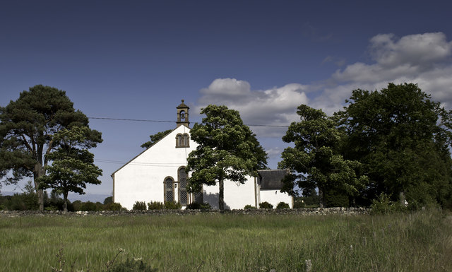
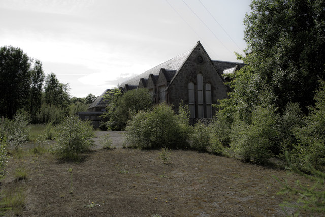
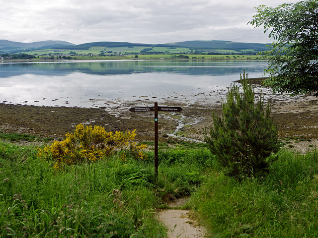
Henrietta Park is a picturesque natural area located in Cromartyshire, known for its stunning downs and moorland landscapes. Situated in the heart of the region, the park offers visitors a tranquil escape from bustling city life and a chance to immerse themselves in the beauty of the surrounding nature.

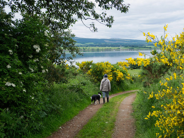
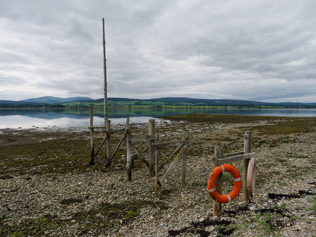
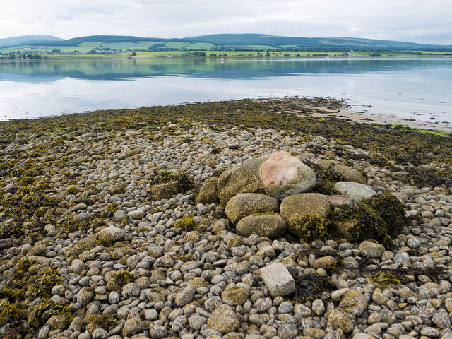
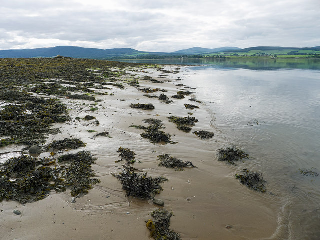
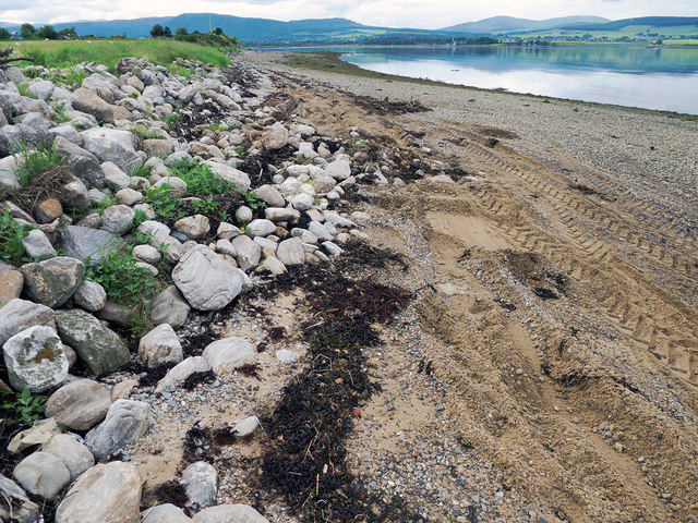
Covering an expansive area, Henrietta Park is characterized by its rolling downs, which provide breathtaking panoramic views of the countryside. The downs are adorned with lush green grass and dotted with vibrant wildflowers, creating a vibrant and enchanting atmosphere. The park is also home to a variety of wildlife, including birds, rabbits, and occasional deer, making it a haven for nature enthusiasts and wildlife photographers.

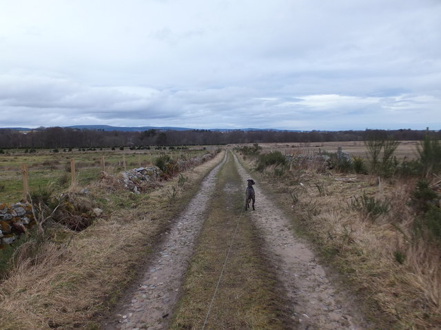
The moorland within the park adds another dimension to its natural beauty. With its rugged terrain and heather-covered hills, the moorland offers a unique and captivating landscape. Visitors can explore the moorland on foot, following designated walking trails that wind their way through the terrain, providing an opportunity to discover hidden gems and enjoy the serenity of the surroundings.

Henrietta Park also boasts several amenities and facilities to accommodate visitors. Picnic areas and benches are scattered throughout the park, allowing visitors to relax and enjoy a meal amidst the stunning scenery. Additionally, there are several well-maintained walking paths, making it accessible for people of all ages and abilities.

Overall, Henrietta Park in Cromartyshire is a natural paradise, offering visitors a chance to connect with nature, explore the downs and moorland, and experience the tranquility of the countryside. Its breathtaking landscapes and abundant wildlife make it a must-visit destination for nature lovers and outdoor enthusiasts.

If you have any feedback on the listing, please let us know in the comments section below.

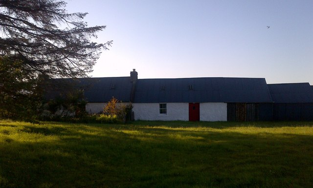
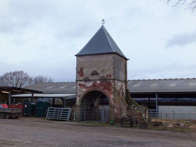
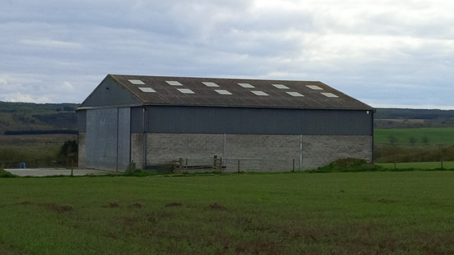
Henrietta Park Images

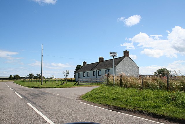
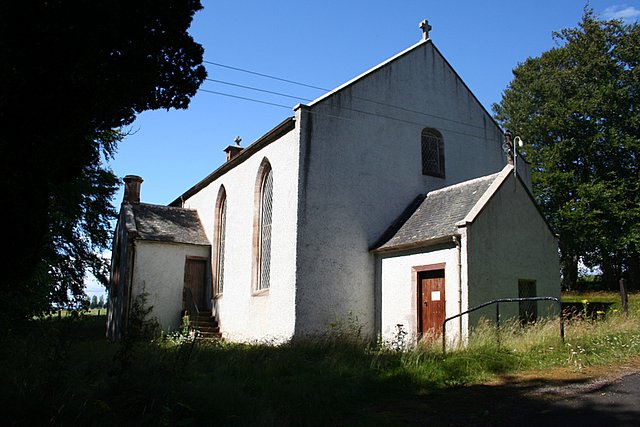
Images are sourced within 2km of 57.661516/-4.2012072 or Grid Reference NH6865. Thanks to Geograph Open Source API. All images are credited.

Resolis Kirk
Resolis Kirk
Former School at Newhall
Drive to Store House at Ferryton Point The drive provides the link to the waymarked route along the Cromarty Firth coastline of the Black Isle.
Drive to Store House at Ferryton Point
The drive provides the link to the waymarked route along the Cromarty Firth coastline of the Black Isle.
Near Ferryton Point Maybe this is the jetty marked on the maps.  It is the only structure on the beach.  If it is, this is the historic spot where travellers used the ferry at Ferryton Point to travel north across the Cromarty Firth.
Near Ferryton Point
Maybe this is the jetty marked on the maps. It is the only structure on the beach. If it is, this is the historic spot where travellers used the ferry at Ferryton Point to travel north across the Cromarty Firth.
Linking path to the shore by Ferryton Point The stretch of coast between Castle Craig and Newhall Point has a set of waymarkers although there is no footpath - just a coast to follow.  The watymarkers show where you can leave the coast and head back inland.
Linking path to the shore by Ferryton Point
The stretch of coast between Castle Craig and Newhall Point has a set of waymarkers although there is no footpath - just a coast to follow. The watymarkers show where you can leave the coast and head back inland.
Pile of stones on Ferryton Point Carefully arranged stones, but no reason for this mini-cairn was evident.  Only the top of this ridge was clear of seaweed.
Pile of stones on Ferryton Point
Carefully arranged stones, but no reason for this mini-cairn was evident. Only the top of this ridge was clear of seaweed.
Sand and seaweed at Ferryton Point Firm mud was easier to walk on than either the seaweed or the slippery shingle shore.
Sand and seaweed at Ferryton Point
Firm mud was easier to walk on than either the seaweed or the slippery shingle shore.
Rudimentary sea wall at Ferryton A few stones to delineate the land from the realm of the sea.  However a tractor with scoop was at work improving them while I walked the shore - witnessed by the tractor tyre marks.
Rudimentary sea wall at Ferryton
A few stones to delineate the land from the realm of the sea. However a tractor with scoop was at work improving them while I walked the shore - witnessed by the tractor tyre marks.
Resolis Free Church of Scotland
Resolis Memorial Hall
Former Schoolhouse at Newhall
Resolis Memorial Hall
Cottage at Resolis
Cottage at Resolis
Farm track, Braelangwell
Doocot at Braelangwell This doocot was once part of a larger range of farm buildings.  Now this and remnants to the east and west remain, with modern buildings replacing the remainder.
Doocot at Braelangwell
This doocot was once part of a larger range of farm buildings. Now this and remnants to the east and west remain, with modern buildings replacing the remainder.
Farm building at Henrietta Park
The Resolis Mains Junction on the A9163.
The Resolis Church. The church appears to be suffering from the early stages of neglect.
The Resolis Church.
The church appears to be suffering from the early stages of neglect.
Show me another place!

Henrietta Park is located at Grid Ref: NH6865 (Lat: 57.661516, Lng: -4.2012072)

Unitary Authority: Highland

Police Authority: Highlands and Islands

What 3 Words

///sleepless.waddled.circular. Near Invergordon, Highland

Nearby Locations

Henrietta Park Ferryton

Related Wikis

Resolis

Resolis (from the Scottish Gaelic Ruigh Sholais meaning Bright Slope) is a village and parish on the B9163 road, in the Black Isle in Scotland. It is part...

Rosskeen

Rosskeen is a parish in Ross and Cromarty on the Cromarty Firth in northern Scotland, containing the settlements of Invergordon, Bridgend and Saltburn...

Jemimaville

Jemimaville is a small village in the Highland region of Scotland. It sits on the northern coast of the Black Isle, overlooking the Cromarty Firth. The...

Cullicudden

Cullicudden (Scottish Gaelic: Cùl a' Chudainn) is an ancient village located close to the southeast shore of the Cromarty Firth, 2 miles northeast of...

Nearby Amenities

Located within 500m of 57.661516,-4.2012072
Post Box
Collection Times: Mo-Fr 09:00; Sa 07:00
Operator: Royal Mail
Operator Wikidata: Q638098
Post Box Type: lamp
Ref: IV7 35
Royal Cypher: scottish_crown
Lat/Long: 57.6594011/-4.1948108
Power: pole
Lat/Long: 57.6596854/-4.2079406
Power: pole
Lat/Long: 57.6600295/-4.206928
Power: pole
Lat/Long: 57.6604018/-4.2059723
Power: pole
Lat/Long: 57.6607752/-4.204976
Power: pole
Lat/Long: 57.6609858/-4.2041237
Power: pole
Lat/Long: 57.661243/-4.2031233
Power: pole
Lat/Long: 57.6614178/-4.2020093
Power: pole
Lat/Long: 57.6615958/-4.2009033
Power: pole
Lat/Long: 57.6618118/-4.1999821
Power: pole
Lat/Long: 57.6620343/-4.1990852
Power: pole
Lat/Long: 57.6622677/-4.1981477
Power: pole
Lat/Long: 57.6625108/-4.1970661
Power: pole
Lat/Long: 57.6627789/-4.1958912
Power: pole
Lat/Long: 57.6630275/-4.1948015
Power: pole
Lat/Long: 57.663275/-4.1936652
Power: pole
Lat/Long: 57.6627876/-4.1932735
Power: pole
Lat/Long: 57.6638622/-4.1941217
The data included in this document is from www.openstreetmap.org. The data is made available under ODbL.

Have you been to Henrietta Park?

Leave your review of Henrietta Park below (or comments, questions and feedback).