The Warren
Downs, Moorland in Caernarfonshire
Wales
The Warren
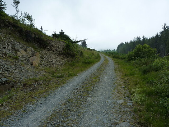
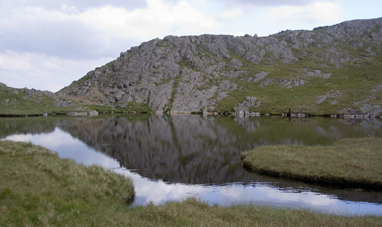
The Warren, located in Caernarfonshire, Wales, is a picturesque area characterized by its stunning downs and moorland landscapes. Spanning approximately 200 acres, this natural beauty spot is a haven for nature enthusiasts and offers breathtaking views of the surrounding countryside.
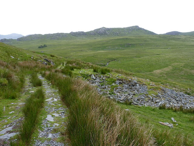
The downs of The Warren are vast, open spaces covered in short grasses and low-lying vegetation. These rolling hills provide a peaceful environment for leisurely walks and picnics, and their elevated positions offer panoramic vistas of the surrounding area. During the spring and summer months, the downs come alive with vibrant wildflowers, including purple heather and yellow gorse, creating a tapestry of colors that is truly awe-inspiring.
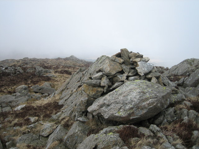
The moorland of The Warren is equally captivating. Blanketed in heather and bracken, this rugged terrain is a habitat for various wildlife species, including birds of prey, such as kestrels and buzzards. The moorland is also home to an array of small mammals, including rabbits and voles, which can be spotted scurrying about. The area is a popular spot for birdwatching, with many rare and migratory birds making an appearance throughout the year.
Visitors to The Warren can enjoy leisurely strolls along well-maintained paths, taking in the beauty of the downs and moorland, or venture off the beaten track for a more adventurous hike. With its unspoiled natural landscapes and captivating wildlife, The Warren offers a tranquil escape from the hustle and bustle of everyday life and is a must-visit destination for nature lovers.
If you have any feedback on the listing, please let us know in the comments section below.
The Warren Images
Images are sourced within 2km of 53.042016/-3.9589387 or Grid Reference SH6851. Thanks to Geograph Open Source API. All images are credited.


The Warren is located at Grid Ref: SH6851 (Lat: 53.042016, Lng: -3.9589387)
Unitary Authority: Conwy
Police Authority: North Wales
What 3 Words
///sues.introduce.celebrate. Near Blaenau-Ffestiniog, Gwynedd
Nearby Locations
Related Wikis
Yr Arddu (North)
Yr Arddu is a mountain summit found in the Moelwynion in Snowdonia; grid reference SH673507. The height of the summit above sea level is 589 meters (1932...

Moelwynion
The Moelwynion (a Welsh plural, sometimes anglicised to Moelwyns) are a group of mountains in central Snowdonia. They extend from the north-east of Porthmadog...

Crimea Pass
The Crimea Pass (Welsh: Bwlch y Gorddinan) is a mountain pass in North Wales, on the A470 road between Blaenau Ffestiniog and Dolwyddelan connecting the...
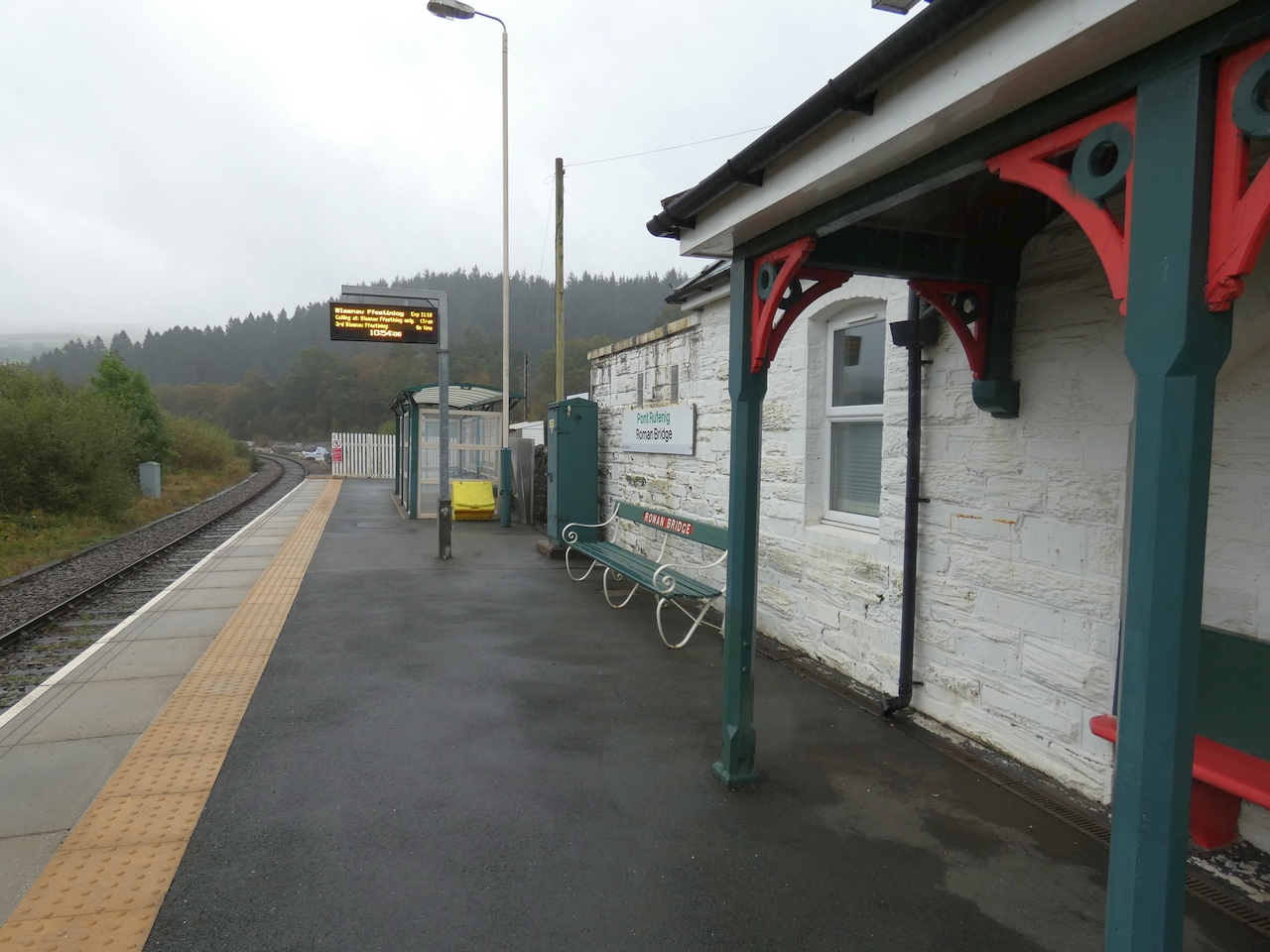
Roman Bridge railway station
Roman Bridge railway station (Welsh: Pont Rufeinig) is a request stop passenger station in the Lledr Valley, Wales, on the Conwy Valley Line from Llandudno...

Chwarel Ddu quarry
Chwarel Ddu quarry was the earliest slate quarry in the Lledr Valley. It was working before 1810, and continued in sporadic operation until the late 1920s...
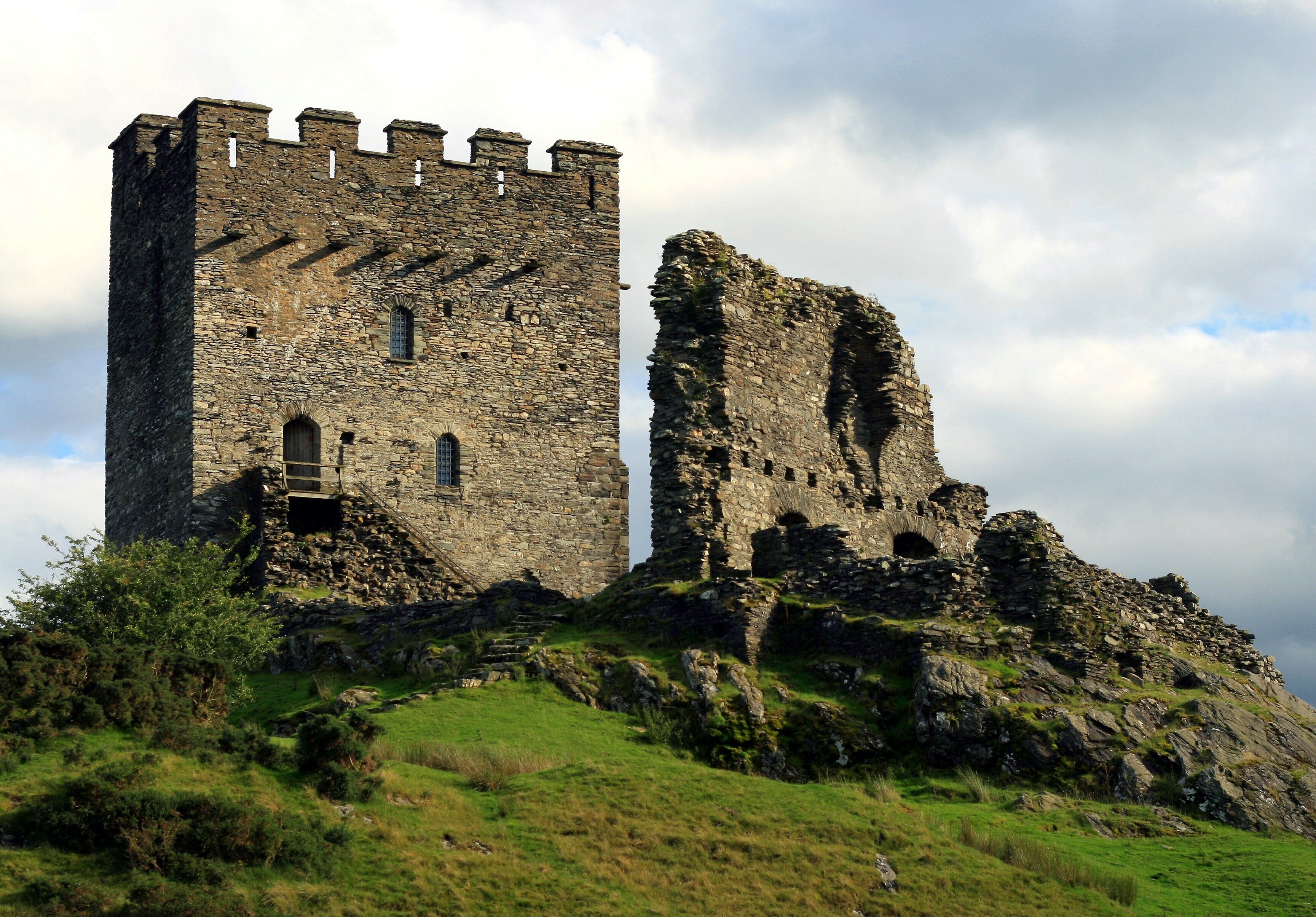
Dolwyddelan Castle
Dolwyddelan Castle ( dol-with-EL-an; Welsh: Castell Dolwyddelan; Welsh pronunciation: [kastɛɬ dɔlwɪð’ɛlan]) is a thirteenth-century castle located west...

Ysgafell Wen
Ysgafell Wen is a subsidiary summit of Allt-fawr in Snowdonia, North Wales. It is the highest point on a broad ridge that stretches to the north-west of...
Ysgafell Wen Far North Top
Ysgafell Wen Far North Top is a top of Ysgafell Wen North Top in Snowdonia, North Wales. It lies directly to the west of Ysgafell Wen North Top, and rises...
Nearby Amenities
Located within 500m of 53.042016,-3.9589387Have you been to The Warren?
Leave your review of The Warren below (or comments, questions and feedback).