Ferrygate

Settlement in East Lothian

Scotland

Ferrygate

North Berwick Law 'Summit' of North Berwick Law with whale jawbone (removed in 2005).  There has been a jawbone on the Law for approx 300 years until now. The building is an old watch house dating back to the Napoleonic Wars.
North Berwick Law Credit: Craig J Seath

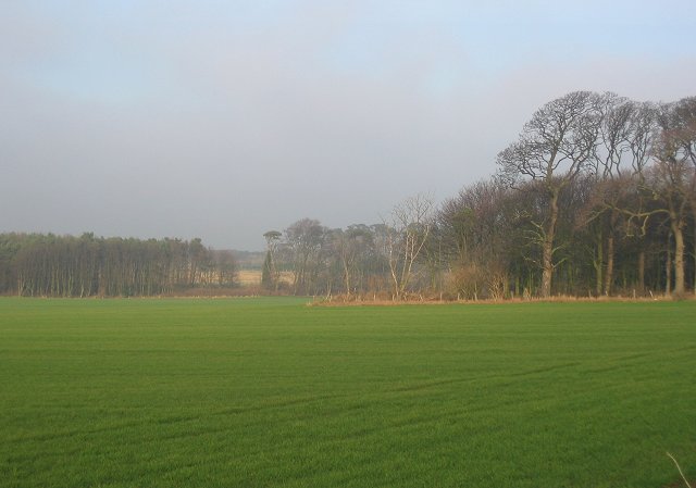
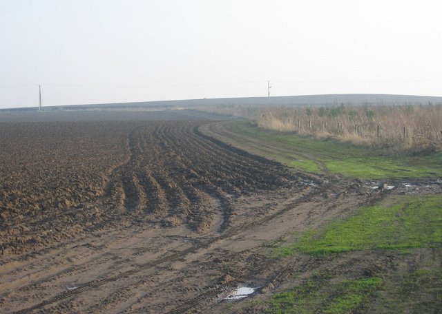
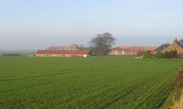
Ferrygate is a small village located in East Lothian, Scotland. Situated on the southern banks of the Firth of Forth, it is nestled between the towns of North Berwick and Musselburgh. The village is known for its picturesque setting, with stunning views of the water and surrounding countryside.

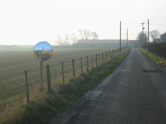
Historically, Ferrygate served as an important ferry crossing point across the Firth of Forth. In the past, it was a bustling hub for travelers and traders, connecting the communities on both sides of the water. However, with the construction of the Forth Road Bridge in the 1960s, the ferry service became obsolete, and the village's significance as a transportation hub diminished.

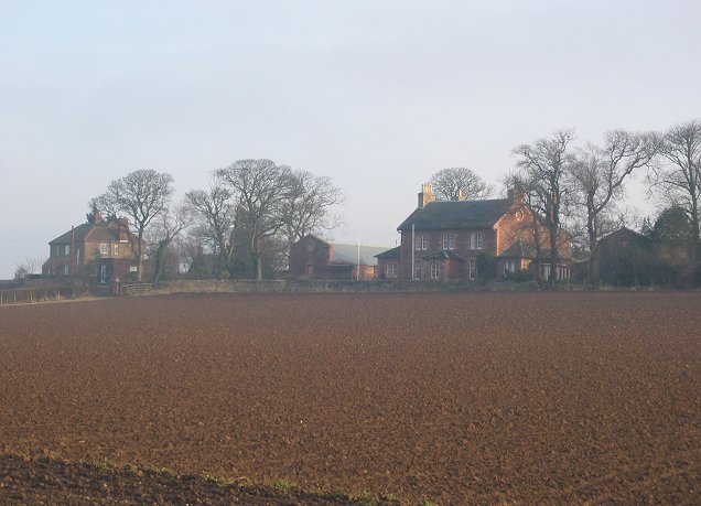
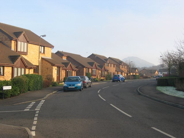
Despite its small size, Ferrygate has managed to retain its charm and character. The village is primarily residential, with a tight-knit community that takes pride in its coastal location. There are a few local amenities, including a small convenience store and a pub, catering to the needs of the residents.

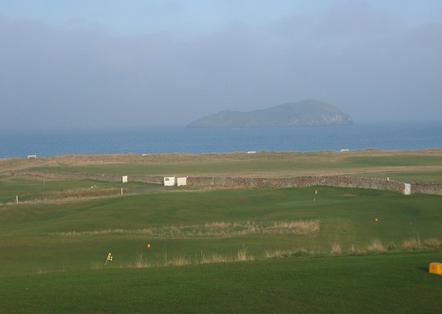
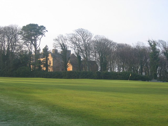
The surrounding area offers a range of recreational activities for visitors and locals alike. Outdoor enthusiasts can explore the nearby John Muir Country Park, which boasts beautiful beaches, nature trails, and wildlife. Golf enthusiasts can also indulge in their passion at the numerous golf courses in the vicinity, including the renowned Muirfield Golf Club.

Overall, Ferrygate is a tranquil village that offers a peaceful retreat from the nearby urban centers. Its idyllic location, rich history, and natural beauty make it an attractive destination for those seeking a quieter and more relaxed experience in East Lothian.

If you have any feedback on the listing, please let us know in the comments section below.
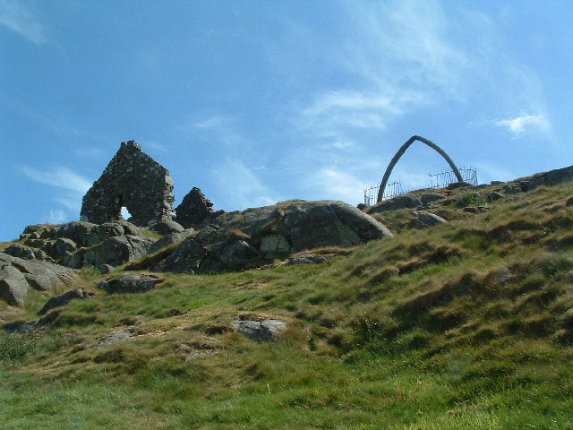
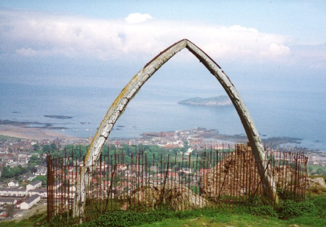
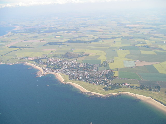
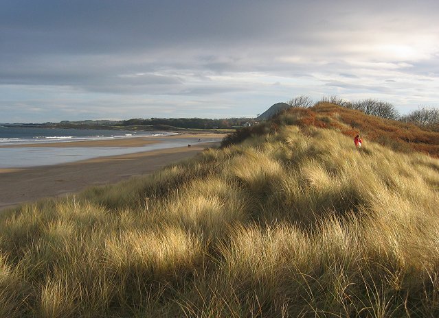
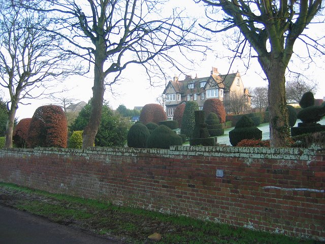
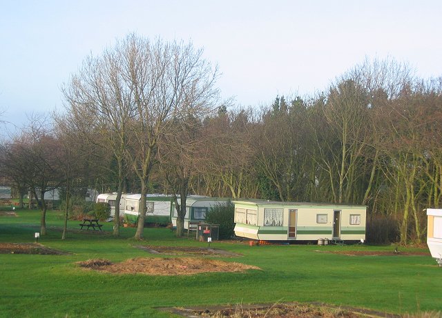
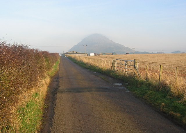
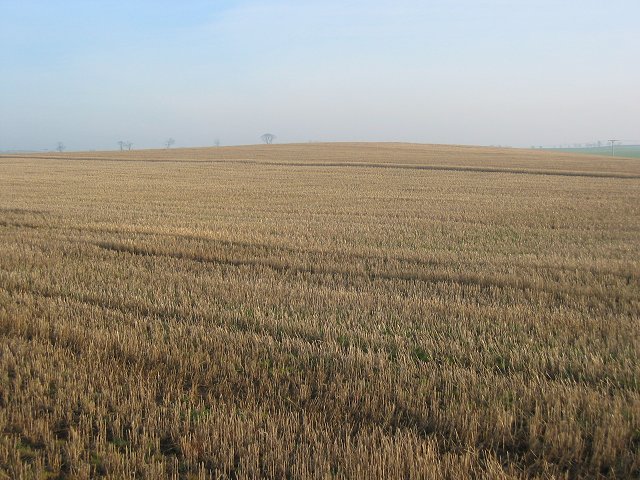
Ferrygate Images

Images are sourced within 2km of 56.049284/-2.7451403 or Grid Reference NT5384. Thanks to Geograph Open Source API. All images are credited.

North Berwick Law 'Summit' of North Berwick Law with whale jawbone (removed in 2005).  There has been a jawbone on the Law for approx 300 years until now. The building is an old watch house dating back to the Napoleonic Wars.
North Berwick Law
'Summit' of North Berwick Law with whale jawbone (removed in 2005). There has been a jawbone on the Law for approx 300 years until now. The building is an old watch house dating back to the Napoleonic Wars.
Summit of North Berwick Law These Jawbones were for many years a prominent feature of the summit but I believe they have recently fallen over and are awaiting being put back in place. The summit also has buildings dating from the second world war when the hill was a lookout for boats on the Firth of Forth and also the remains of an old fort. The view is north over the town of North Berwick to the island of Craigleith.
Summit of North Berwick Law
These Jawbones were for many years a prominent feature of the summit but I believe they have recently fallen over and are awaiting being put back in place. The summit also has buildings dating from the second world war when the hill was a lookout for boats on the Firth of Forth and also the remains of an old fort. The view is north over the town of North Berwick to the island of Craigleith.
North Berwick and East Fortune Taken from a microlight at about 6000 ft
North Berwick and East Fortune
Taken from a microlight at about 6000 ft
Broad Sands. Beach and dunes just west of North Berwick. Looking east.
Broad Sands.
Beach and dunes just west of North Berwick. Looking east.
Farmland outside Dirleton. The first fields after the links. Beyond the woods are the dunes and coast. Looking north.
Farmland outside Dirleton.
The first fields after the links. Beyond the woods are the dunes and coast. Looking north.
Ferrygate
Ferrygate
Ferrygate Newly ploughed sandy soil, looking south. There is a new small woodland to the right.
Ferrygate
Newly ploughed sandy soil, looking south. There is a new small woodland to the right.
West Links. With Craigleith offshore.
West Links.
With Craigleith offshore.
Carlekemp. Big house across the West Links. Formerly the preparatory school for St Augustus Abbey.
Carlekemp.
Big house across the West Links. Formerly the preparatory school for St Augustus Abbey.
Golf Hotel, North Berwick Amongst a lot of big houses on the road into North Berwick from the west.
Golf Hotel, North Berwick
Amongst a lot of big houses on the road into North Berwick from the west.
New houses, North Berwick. North Berwick, with its surviving railway link is one of the most expensive places to live in Scotland.
New houses, North Berwick.
North Berwick, with its surviving railway link is one of the most expensive places to live in Scotland.
North Berwick The railway station, with a frequent service to Edinburgh. There have been many attempts at closure, but now ex intercity trains are sometimes used because of the number of passengers.
North Berwick
The railway station, with a frequent service to Edinburgh. There have been many attempts at closure, but now ex intercity trains are sometimes used because of the number of passengers.
Large house, North Berwick. A lot of Edinburgh money headed this way about 100 years ago, thanks to the railway. There are many houses like this one.
Large house, North Berwick.
A lot of Edinburgh money headed this way about 100 years ago, thanks to the railway. There are many houses like this one.
Gilsland. Part of an enormous caravan site on the edge of North Berwick.
Gilsland.
Part of an enormous caravan site on the edge of North Berwick.
Straight road, Newhouse. View east to North Berwick Law. Note the cloud forming on the summit from the northeast wind carrying moist air off the North Sea.
Straight road, Newhouse.
View east to North Berwick Law. Note the cloud forming on the summit from the northeast wind carrying moist air off the North Sea.
Stubble, Newhouse. Spring sown barley is the most popular arable crop in Scotland. Fortunately this means stubble and ploughed fields in winter, and good bird populations. 
East Lothian has much arable land, by contrast there are now just two dairy farms in the county.
Stubble, Newhouse.
Spring sown barley is the most popular arable crop in Scotland. Fortunately this means stubble and ploughed fields in winter, and good bird populations. East Lothian has much arable land, by contrast there are now just two dairy farms in the county.
Newhouse. A row of cottages that once housed the workers on the farm in front of the farm.
Newhouse.
A row of cottages that once housed the workers on the farm in front of the farm.
Newhouse. Looking west, and a little of east.
Newhouse.
Looking west, and a little of east.
Show me another place!

Ferrygate is located at Grid Ref: NT5384 (Lat: 56.049284, Lng: -2.7451403)

Unitary Authority: East Lothian

Police Authority: The Lothians and Scottish Borders

What 3 Words

///bounty.tarnished.landscape. Near North Berwick, East Lothian

Related Wikis

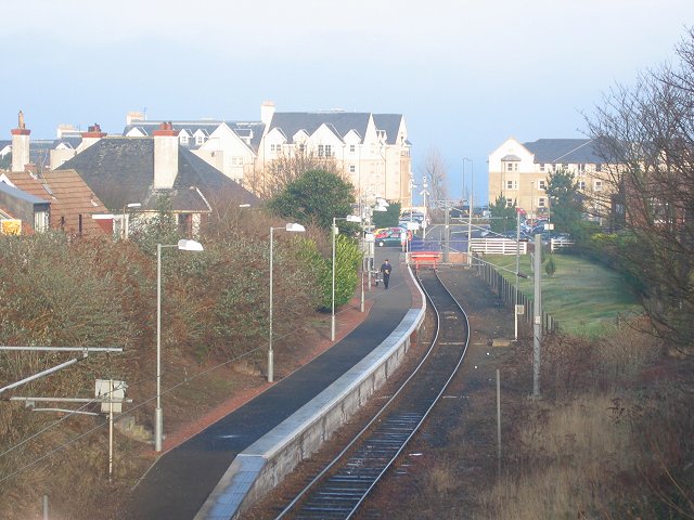
Williamstown railway station (East Lothian)

Williamstown railway station was a railway station on the North Berwick Branch of the North British Railway in East Lothian, Scotland. This short-lived...

North Berwick railway station

North Berwick railway station is a railway station serving the seaside town of North Berwick in East Lothian, Scotland. It is the terminus of the Edinburgh...

North Berwick West Links

One of two golf courses within North Berwick, the West Links is by far the more renowned. It regularly holds various championships and is used as a qualifying...

North Berwick High School

North Berwick High School is a non-denominational state secondary school in North Berwick, East Lothian, Scotland. == See also == People educated at North...

Related Videos

Hiking North Berwick Law - Stunning views of Scotland

Join me as I climb North Berwick Law - a 650ft hill in East Lothian, Scotland. The views from the top are stunning. North Berwick is ...

Walking with Donald - John Muir Way - East Linton to North Berwick - Part Six

Walking with Donald - John Muir Way - East Linton to North Berwick - Part Six John Muir Way - East Linton to North Berwick - East ...

NORTH BERWICK, SCOTLAND 🏴󠁧󠁢󠁳󠁣󠁴󠁿.A Walking Tour🚶‍♀️of the most Beautiful Seaside Town. 4K HDR

A virtual walking tour of one the most beautiful seaside towns in Scotland 󠁧󠁢󠁳󠁣󠁴󠁿. Explore the gorgeous sandy beaches, ...

Nearby Amenities

Located within 500m of 56.049284,-2.7451403
Power: pole
Lat/Long: 56.0450457/-2.7436531
Power: transformer
Lat/Long: 56.0488283/-2.7463782
Power: transformer
Lat/Long: 56.0487624/-2.7465029
Location Transition: yes
Power: pole
Lat/Long: 56.0486347/-2.7465438
Location Transition: yes
Power: pole
Lat/Long: 56.0485802/-2.7466605
Line Management: termination
Power: pole
Lat/Long: 56.0513014/-2.7413906
Location Transition: yes
Power: pole
Lat/Long: 56.0511276/-2.7417165
Power: pole
Lat/Long: 56.0507611/-2.7424016
Power: pole
Lat/Long: 56.0504665/-2.7429521
Power: pole
Lat/Long: 56.0501704/-2.7435055
Power: pole
Lat/Long: 56.0498787/-2.7440507
Power: pole
Lat/Long: 56.04959/-2.7445903
Power: pole
Lat/Long: 56.0490388/-2.7456205
Phases: 2
Power: pole
Transformer: distribution
Voltage Primary: 11000
Lat/Long: 56.0493425/-2.7450527
Power: pole
Lat/Long: 56.0485283/-2.7461429
Power: pole
Lat/Long: 56.0455766/-2.7491217
Power: pole
Lat/Long: 56.0461445/-2.748445
Power: pole
Lat/Long: 56.0467136/-2.7477669
Power: pole
Lat/Long: 56.0472848/-2.7470862
Power: pole
Lat/Long: 56.0471086/-2.7390826
Power: pole
Lat/Long: 56.0473507/-2.7402863
Power: pole
Lat/Long: 56.0476074/-2.7415629
Power: pole
Lat/Long: 56.0478807/-2.7429221
Power: pole
Lat/Long: 56.0480979/-2.7440021
Power: pole
Lat/Long: 56.0483331/-2.745172
Power: pole
Lat/Long: 56.0485961/-2.7464801
Line Management: termination
Power: pole
Lat/Long: 56.0486725/-2.7466062
Power: pole
Lat/Long: 56.0454158/-2.7444524
Power: pole
Lat/Long: 56.0461768/-2.745072
Power: pole
Lat/Long: 56.0469168/-2.7456701
Power: pole
Lat/Long: 56.0476868/-2.7463138
Power: pole
Lat/Long: 56.0478284/-2.7464385
Line Management: termination
Power: pole
Lat/Long: 56.0486163/-2.7467135
Power: pole
Lat/Long: 56.0485377/-2.7465981
Material: wood
Power: pole
Lat/Long: 56.0464307/-2.7504243
Material: wood
Power: pole
Lat/Long: 56.0469401/-2.7495299
Material: wood
Power: pole
Lat/Long: 56.047335/-2.7487678
Material: wood
Power: pole
Lat/Long: 56.047761/-2.7479459
Location Transition: yes
Material: wood
Power: pole
Lat/Long: 56.0481909/-2.7471359
The data included in this document is from www.openstreetmap.org. The data is made available under ODbL.

Have you been to Ferrygate?

Leave your review of Ferrygate below (or comments, questions and feedback).