Fersfield Common
Settlement in Norfolk South Norfolk
England
Fersfield Common
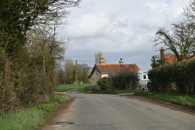
Fersfield Common is a small village located in the county of Norfolk, England. Situated approximately 20 miles south of Norwich, it is nestled amidst the beautiful rural countryside that characterizes the area. The village is known for its charming and tranquil atmosphere, making it an idyllic spot for those seeking a peaceful escape from the hustle and bustle of city life.
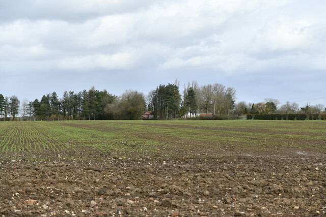
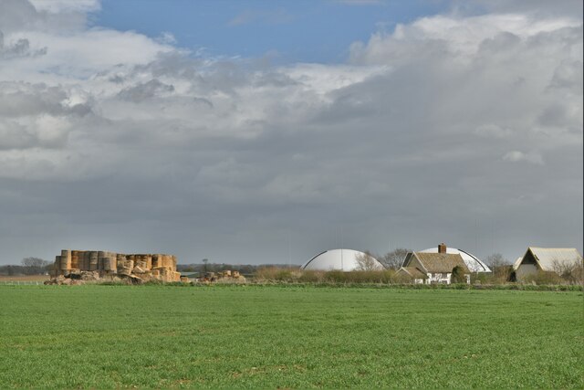
The common itself is a vast open space, covered in lush greenery and dotted with picturesque ponds. It serves as a popular gathering spot for locals and visitors alike, offering ample opportunities for leisurely walks, picnics, and outdoor activities. The surrounding landscape is dominated by rolling hills, scenic farmlands, and woodland areas, providing stunning vistas and a rich diversity of wildlife.
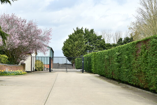
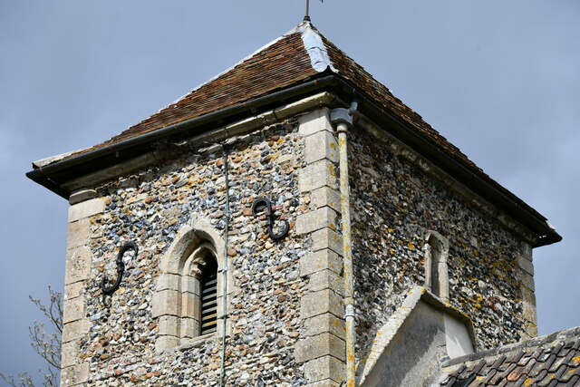
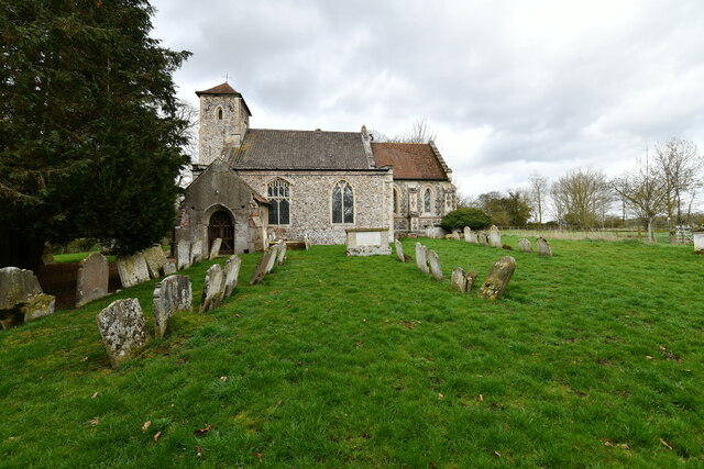
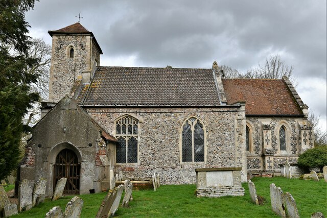
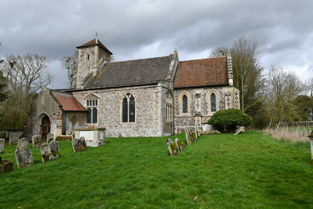
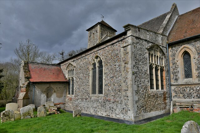
Fersfield Common is also home to a small but tight-knit community. The village features a range of quaint cottages and traditional houses, reflecting its historical roots. The local church, St. Andrew's, is a notable landmark, showcasing architectural elements from various periods throughout history.
Despite its rural setting, Fersfield Common benefits from good transport links, with nearby access to major road networks. This allows residents to enjoy the tranquility of village life while still being within reach of essential amenities and nearby towns.
In summary, Fersfield Common is a charming and peaceful village nestled in the Norfolk countryside. With its stunning natural surroundings, welcoming community, and convenient location, it offers a delightful retreat for those seeking a slower pace of life.
If you have any feedback on the listing, please let us know in the comments section below.
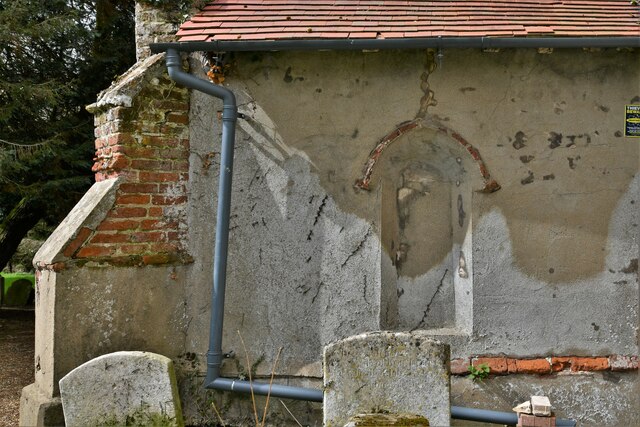
Fersfield Common Images
Images are sourced within 2km of 52.415347/1.0449419 or Grid Reference TM0784. Thanks to Geograph Open Source API. All images are credited.


Fersfield Common is located at Grid Ref: TM0784 (Lat: 52.415347, Lng: 1.0449419)
Administrative County: Norfolk
District: South Norfolk
Police Authority: Norfolk
What 3 Words
///trespass.silk.lentil. Near Banham, Norfolk
Nearby Locations
Related Wikis

Boyland Common
Boyland Common is a place in the English county of Norfolk. It lies on the border of Fersfield and Shelfanger parishes. It consists of a few scattered...

RAF Fersfield
Royal Air Force Fersfield or more simply RAF Fersfield (originally known as RAF Winfarthing) is a former Royal Air Force station located 16 miles (26 km...

Fersfield
Fersfield is a village and former civil parish, now in the parish of Bressingham, in the South Norfolk district, in the county of Norfolk, England. The...

Bressingham
Bressingham is a village and civil parish in the English county of Norfolk. It covers an area of 15.77 km2 (6.09 sq mi) and had a population of 751 in...
Nearby Amenities
Located within 500m of 52.415347,1.0449419Have you been to Fersfield Common?
Leave your review of Fersfield Common below (or comments, questions and feedback).