Fala Dam

Settlement in Midlothian

Scotland

Fala Dam

Moor Road The road over Fala Moor descends through Fala Mains Wood.  Taken from the gate onto the moor.
Moor Road Credit: Richard Webb

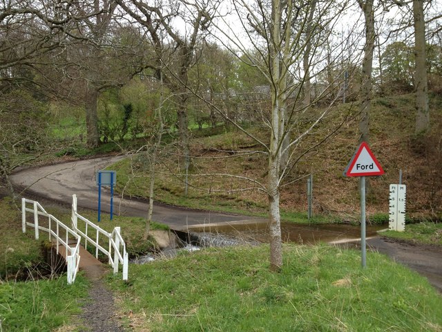
Fala Dam is a reservoir located in the village of Fala, Midlothian, Scotland. It serves as a water supply for the surrounding communities and is also a popular recreational spot for locals and tourists alike.

The dam was constructed in the early 20th century as part of a waterworks project to ensure a reliable water source for the region. It is situated on the Fala Burn, a small tributary of the River Tyne. The dam is made of concrete and has a height of approximately 6 meters, creating a sizable reservoir that can hold thousands of cubic meters of water.

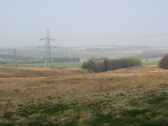
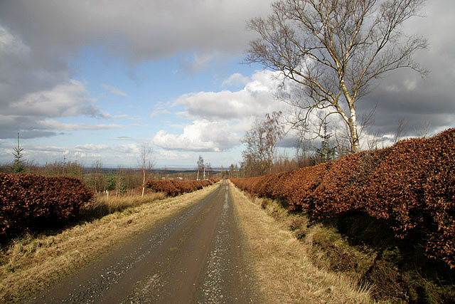
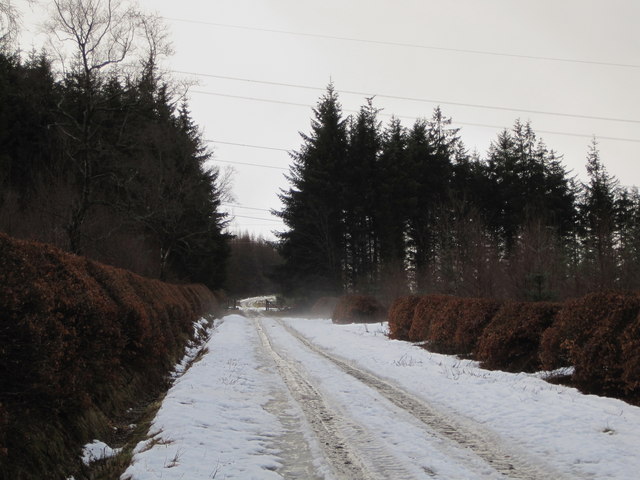
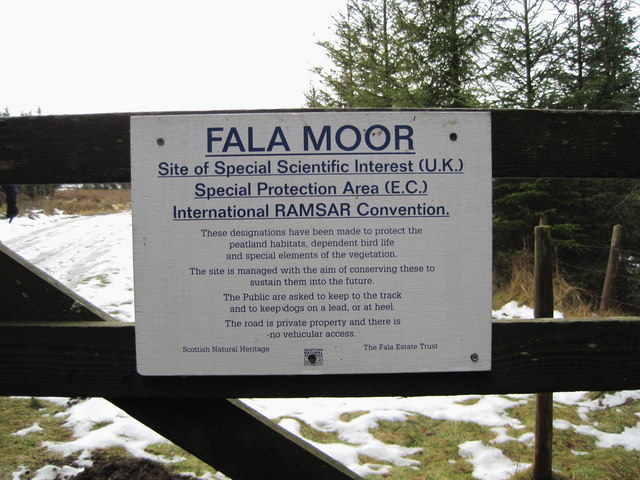
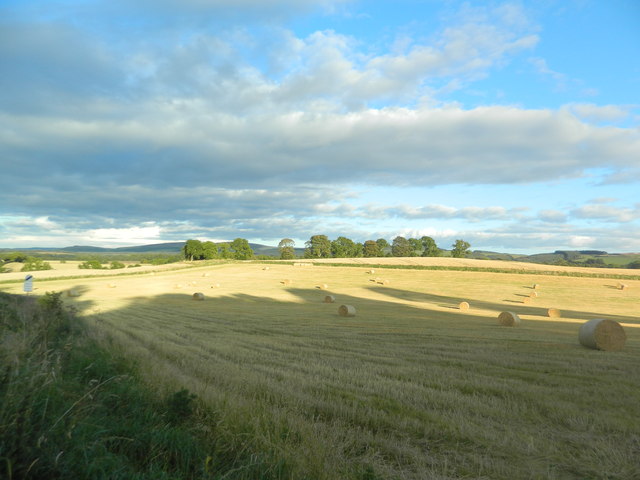
The surrounding area of Fala Dam is characterized by picturesque scenery, with rolling hills and lush greenery. There are several walking and cycling paths that offer visitors the opportunity to explore the tranquil countryside. The reservoir is also a haven for wildlife, attracting various bird species and providing a habitat for aquatic animals.

Fala Dam is a popular spot for fishing enthusiasts, with the reservoir being well-stocked with different species of fish. Anglers can enjoy a peaceful day of fishing from the banks of the dam or from small boats. Additionally, the dam is a great place for picnics and family outings, with ample space for relaxation and recreational activities.

Overall, Fala Dam in Midlothian offers a serene and beautiful setting for outdoor activities, making it a beloved destination for both locals and visitors seeking a peaceful escape.

If you have any feedback on the listing, please let us know in the comments section below.
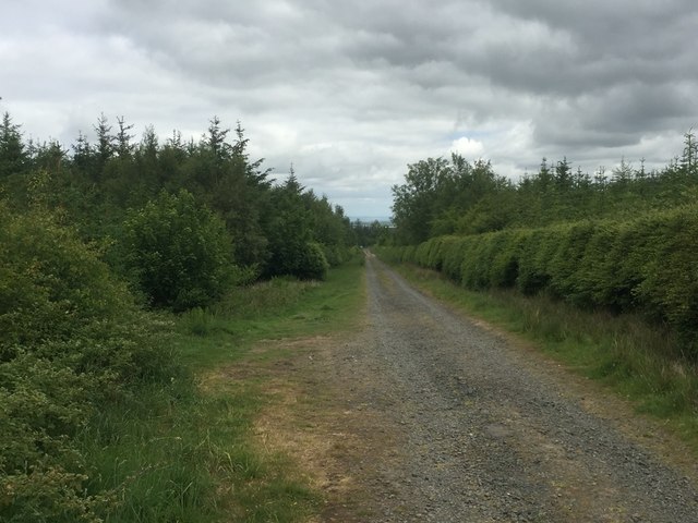
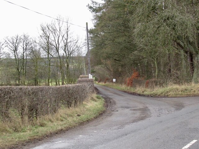
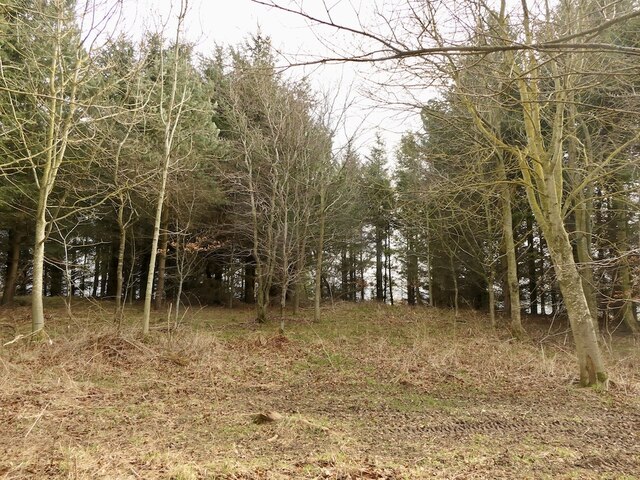
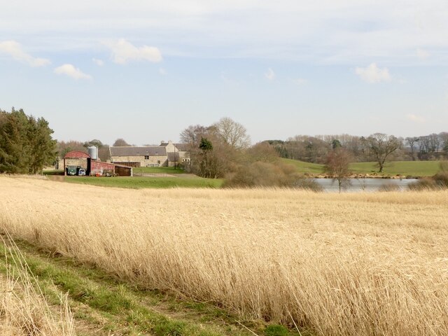
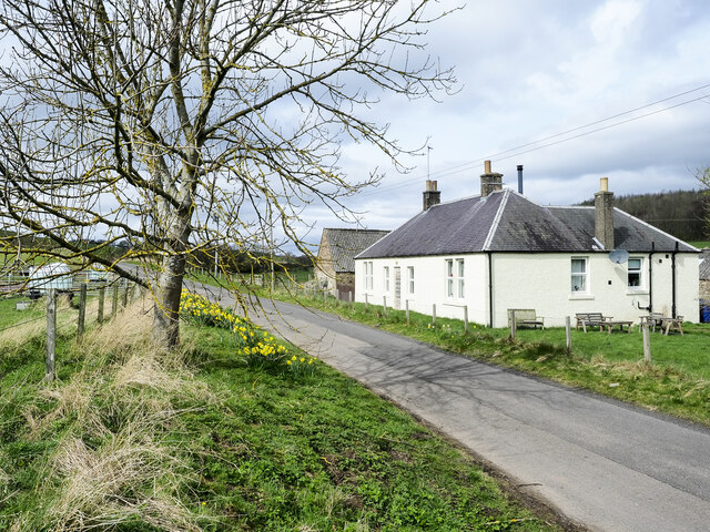
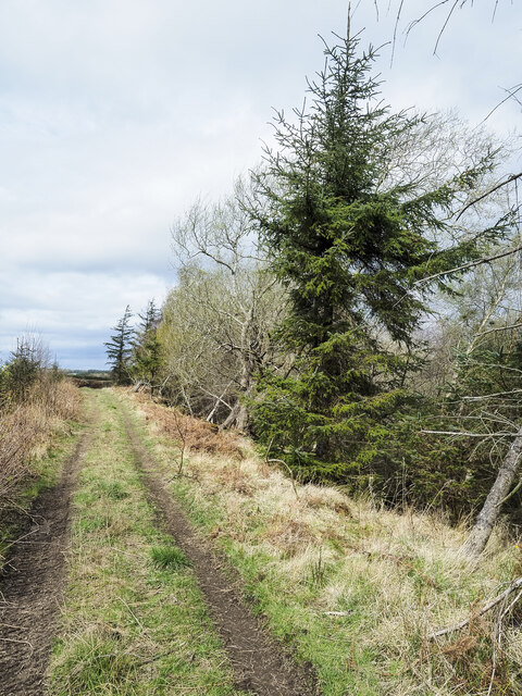
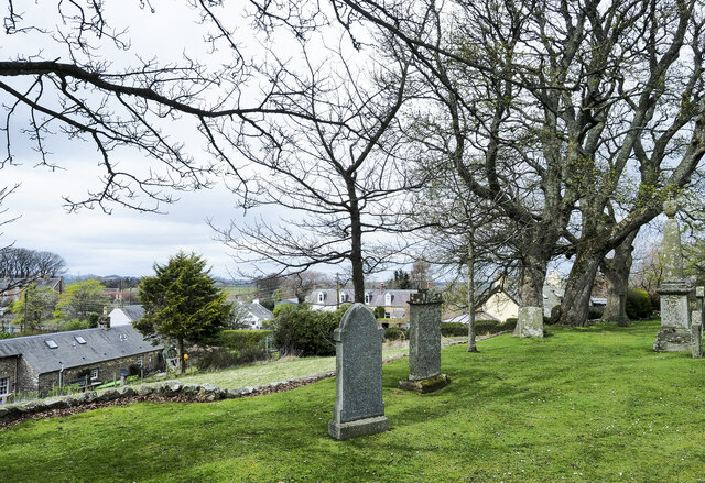
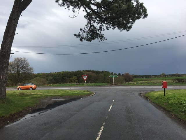
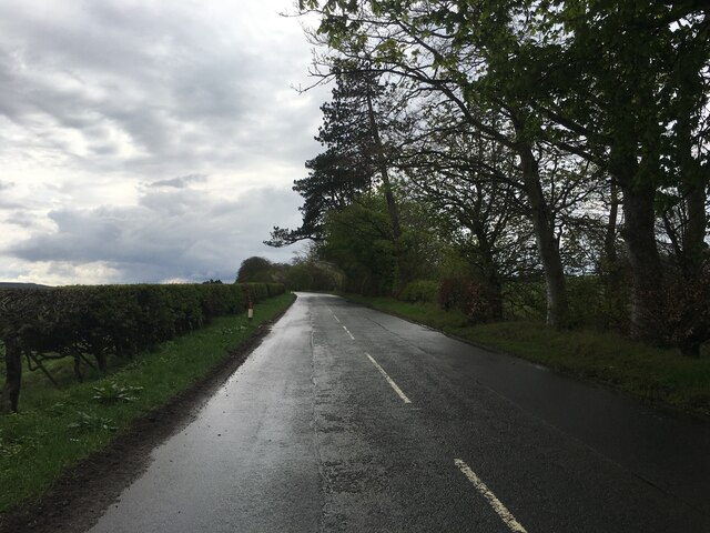
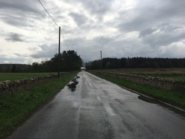
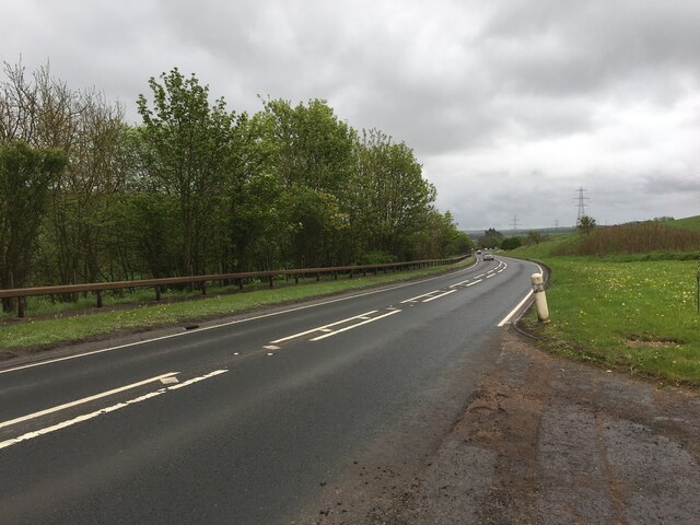
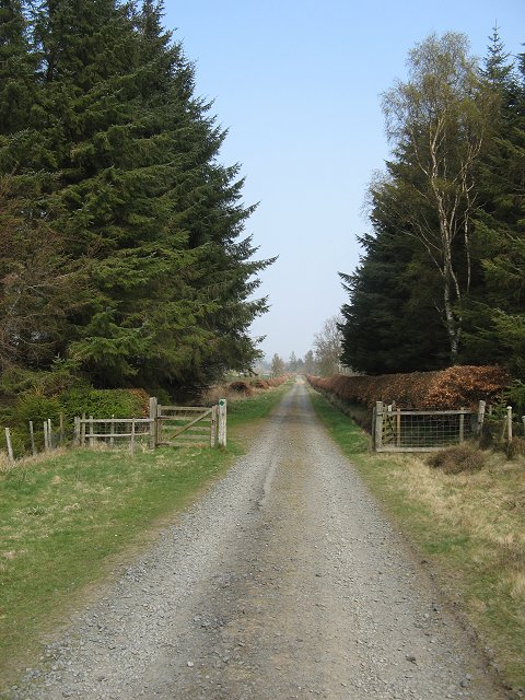
Fala Dam Images

Images are sourced within 2km of 55.844054/-2.9135225 or Grid Reference NT4261. Thanks to Geograph Open Source API. All images are credited.

Moor Road The road over Fala Moor descends through Fala Mains Wood.  Taken from the gate onto the moor.
Moor Road
The road over Fala Moor descends through Fala Mains Wood. Taken from the gate onto the moor.
Turning for Blackcastle Several no through road signs, it only goes to the farm.
Turning for Blackcastle
Several no through road signs, it only goes to the farm.
Summit area, Dodridge Law A stripwood.
Summit area, Dodridge Law
A stripwood.
Costerton Mains Taken 16 years after <a href="https://www.geograph.org.uk/photo/82964">NT4362 : Costerton Mains</a>.
Costerton Mains
Taken 16 years after NT4362 : Costerton Mains.
Minor road passing Old Chrighton Dean Cottage The road is close to the A68 and soon joins it in the direction of view. The cottage is named on OS maps with its name spelled without the first 'g'; the spelling used on the property's gate is used here.
Minor road passing Old Chrighton Dean Cottage
The road is close to the A68 and soon joins it in the direction of view. The cottage is named on OS maps with its name spelled without the first 'g'; the spelling used on the property's gate is used here.
Track between road and Routing Glen The track is rising towards a minor road north of the small settlement at Fala; it's not shown on OS maps. Routing Glen falling to the right, is remarkably steep-sided and deep for a lowland area.
Track between road and Routing Glen
The track is rising towards a minor road north of the small settlement at Fala; it's not shown on OS maps. Routing Glen falling to the right, is remarkably steep-sided and deep for a lowland area.
Fala, from its churchyard A view over the small settlement of Fala seen past gravestones in the graveyard. There's a warning at the entrance of the danger of unstable gravestones but no warning that there's a drop beyond the line of edging stones over which the unwary could fall.
Fala, from its churchyard
A view over the small settlement of Fala seen past gravestones in the graveyard. There's a warning at the entrance of the danger of unstable gravestones but no warning that there's a drop beyond the line of edging stones over which the unwary could fall.
Junction of the B6458 and A68
B6458 near Saughland
A68 south of Pathhead
Moor Road A well surfaced road across Fala Moor. The gate is where the road leaves Fala Mains Wood.
Moor Road
A well surfaced road across Fala Moor. The gate is where the road leaves Fala Mains Wood.
Pylons, Fala Moor Power lines crossing Fala Moor.
Pylons, Fala Moor
Power lines crossing Fala Moor.
Moor Road A section of the track between Fala and Brothershiels, within Fala Mains Wood.
Moor Road
A section of the track between Fala and Brothershiels, within Fala Mains Wood.
Moor Road, Fala The track rises gently towards the flat expanse of Fala Moor, and progress is tricky here on wet ice after a few days' thaw.
Moor Road, Fala
The track rises gently towards the flat expanse of Fala Moor, and progress is tricky here on wet ice after a few days' thaw.
Information sign, Fala Moor SSSI The flat peat moor is a conservation area; RAMSAR refers to an international Convention on Wetlands signed in Ramsar, Iran, in 1971.
Information sign, Fala Moor SSSI
The flat peat moor is a conservation area; RAMSAR refers to an international Convention on Wetlands signed in Ramsar, Iran, in 1971.
Ford Over Blackhouse Burn viewed from the North
Stubble and bales, Fala
Show me another place!

Fala Dam is located at Grid Ref: NT4261 (Lat: 55.844054, Lng: -2.9135225)

Unitary Authority: Midlothian

Police Authority: The Lothians and Scottish Borders

What 3 Words

///observes.cosmic.blazed. Near Pencaitland, East Lothian

Related Wikis

Fala, Midlothian

Fala is a hamlet in the south-eastern corner of Midlothian, Scotland, and about 15 miles from Edinburgh. == Location == The parish of the same name is...

Cakemuir Castle

Cakemuir Castle is an historic house situated 4 miles (6.4 km) southeast of Pathhead, in the Lammermuir Hills, Midlothian, Scotland. The name may be connected...

Fala Flow

Fala Flow is an area of upland blanket bog on the edge of the Lammermuir Hills, in Midlothian, Scotland. Located north of the village of Fala, around 15...

Humbie

Humbie is a hamlet and rural parish in East Lothian, Scotland lying in south-east of the county, approximately 10 miles (16 km) south-west of Haddington...

Nearby Amenities

Located within 500m of 55.844054,-2.9135225
Fala Dam
Place: hamlet
Lat/Long: 55.8441538/-2.9129928
Post Box
Ref: EH37 17
Lat/Long: 55.844225/-2.9130292
Routhenhill
Place: isolated_dwelling
Lat/Long: 55.8451689/-2.9201182
Power: pole
Lat/Long: 55.8454926/-2.9203576
Power: pole
Lat/Long: 55.8452434/-2.9194345
Power: pole
Lat/Long: 55.8449732/-2.918376
Power: pole
Lat/Long: 55.8446994/-2.9171612
Power: pole
Lat/Long: 55.8443379/-2.9159214
Power: pole
Lat/Long: 55.8439156/-2.9150046
Power: pole
Lat/Long: 55.8432827/-2.9140065
Power: pole
Lat/Long: 55.8426474/-2.9130168
Power: pole
Lat/Long: 55.8422239/-2.9124042
Power: pole
Lat/Long: 55.841791/-2.9117124
Power: pole
Lat/Long: 55.841371/-2.9110456
Power: pole
Lat/Long: 55.8410306/-2.909787
Power: pole
Lat/Long: 55.8406843/-2.9084785
The data included in this document is from www.openstreetmap.org. The data is made available under ODbL.

Have you been to Fala Dam?

Leave your review of Fala Dam below (or comments, questions and feedback).