Fairy Cross
Settlement in Cornwall
England
Fairy Cross

Fairy Cross is a small coastal village located in the county of Cornwall, Southwest England. Situated near the town of Bude, it is known for its picturesque landscapes and charming character. The village takes its name from a local legend that claims fairies once visited the area and left behind small crosses made from a mineral called Staurolite.
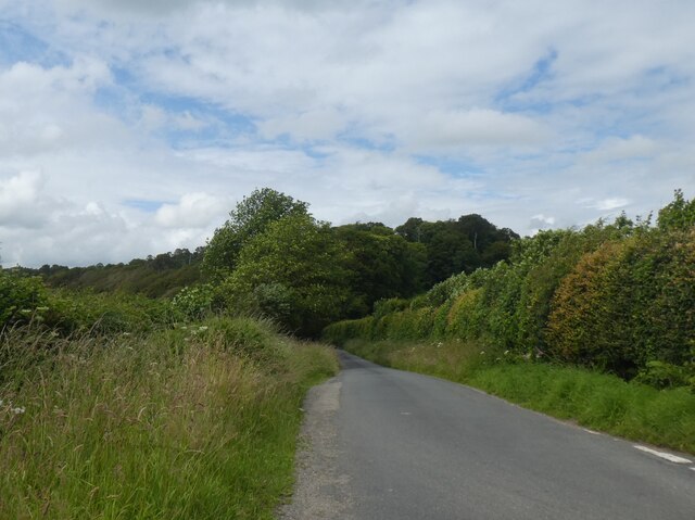
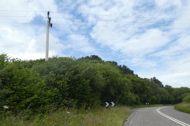
Surrounded by lush green fields and rolling hills, Fairy Cross offers breathtaking views of the Atlantic Ocean. Its coastline boasts rugged cliffs, sandy beaches, and hidden coves, making it a popular destination for nature enthusiasts and beachgoers alike. The village is also part of the South West Coast Path, a long-distance hiking trail that stretches for miles along the stunning Cornish coast.
Fairy Cross is a tranquil and peaceful location, perfect for those seeking a getaway from the hustle and bustle of city life. The village is dotted with traditional Cornish cottages, giving it a quaint and timeless vibe. It is home to a close-knit community, and visitors can find a warm welcome in the local pub, which serves hearty meals and locally brewed ales.
For those interested in history, Fairy Cross offers several historical sites, including remnants of Iron Age hillforts and medieval churches. The nearby town of Bude offers a wider range of amenities, including shops, restaurants, and recreational activities such as surfing and golf.
In summary, Fairy Cross is a hidden gem in Cornwall, offering stunning natural beauty, a rich history, and a peaceful atmosphere that captures the essence of traditional Cornish village life.
If you have any feedback on the listing, please let us know in the comments section below.
Fairy Cross Images
Images are sourced within 2km of 50.42962/-4.6402884 or Grid Reference SX1262. Thanks to Geograph Open Source API. All images are credited.


Fairy Cross is located at Grid Ref: SX1262 (Lat: 50.42962, Lng: -4.6402884)
Unitary Authority: Cornwall
Police Authority: Devon and Cornwall
What 3 Words
///reckons.lawful.scuba. Near Lostwithiel, Cornwall
Nearby Locations
Related Wikis

A390 road
The A390 is a road in Cornwall and Devon, England. It runs from Tavistock to 5 miles (8.0 km) north west of the city of Truro. Starting in Tavistock, it...

Sandylake
Sandylake is a hamlet east of Lostwithiel in Cornwall, England. It is on the A30 main road. == References ==
Bofarnel
Bofarnel is a hamlet in Cornwall, England, in the United Kingdom. It lies within the civil parish of St Winnow, 6 miles (6.4 km) southeast of Bodmin and...
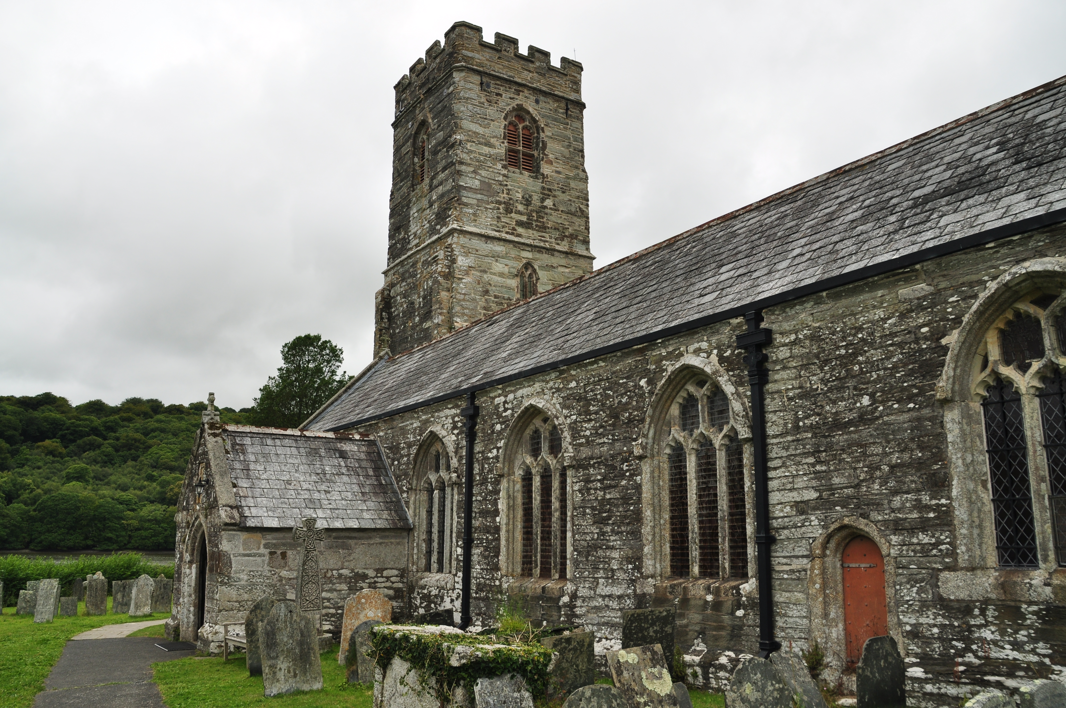
St Winnow's Church, St Winnow
St Winnow's Church, St Winnow is a Grade I listed parish church in the Church of England in St Winnow, Cornwall. == History == The church is probably built...
Nearby Amenities
Located within 500m of 50.42962,-4.6402884Have you been to Fairy Cross?
Leave your review of Fairy Cross below (or comments, questions and feedback).