Gardiner's Hall Wood

Wood, Forest in Midlothian

Scotland

Gardiner's Hall Wood

Stubble Field near Windy Mains A winter field near Windy Mains as seen from the track to Whitburgh. Lammermuirs can be seen in the distance.
Stubble Field near Windy Mains Credit: Adam Ward

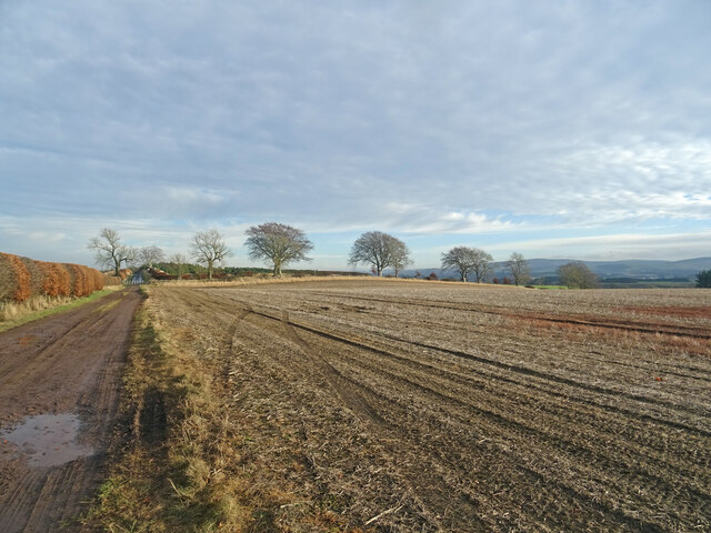
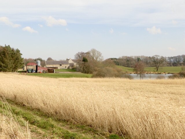
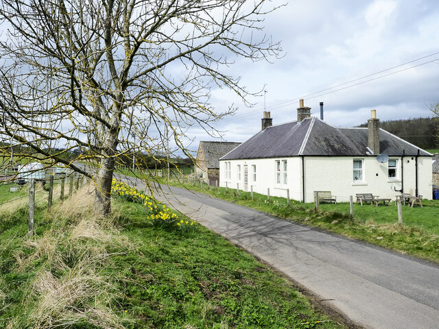
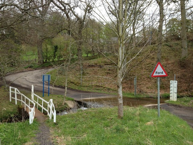
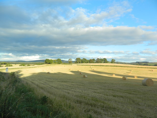
Gardiner's Hall Wood is a picturesque woodland located in Midlothian, Scotland. Situated near the village of Dalkeith, the wood covers an area of approximately 30 hectares, making it an ideal destination for nature enthusiasts and outdoor adventurers.

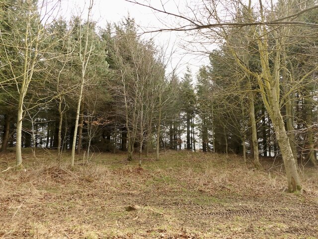
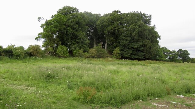
The wood is primarily composed of native broadleaf trees such as oak, birch, and rowan. This diverse range of tree species creates a rich habitat for various flora and fauna. The forest floor is adorned with an array of wildflowers, including bluebells, wood sorrel, and primroses, adding vibrant colors to the landscape during the spring and summer months.

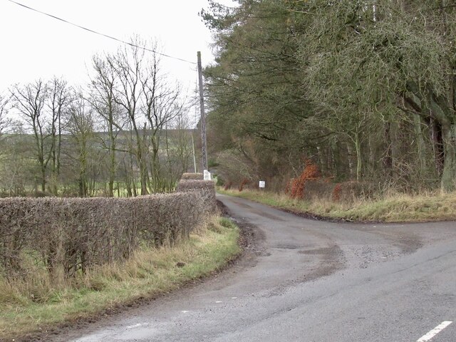
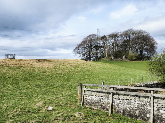
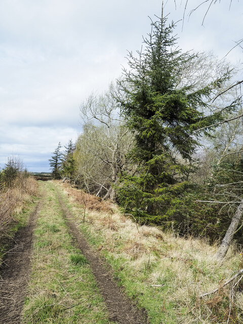
Visitors to Gardiner's Hall Wood can enjoy a network of well-maintained trails that wind through the forest, providing opportunities for leisurely walks, jogging, or cycling. These paths lead visitors through enchanting groves, secluded glades, and peaceful meadows, offering a tranquil escape from the hustle and bustle of everyday life.

Wildlife enthusiasts can spot a variety of animals in the wood, such as red squirrels, roe deer, and a variety of bird species, including woodpeckers and owls. The wood also supports a rich population of insects, including butterflies and dragonflies, adding to the biodiversity of the area.

Gardiner's Hall Wood is managed by a local conservation trust, which ensures that the woodland is maintained and protected for future generations to enjoy. The trust also organizes educational programs and guided walks, allowing visitors to learn more about the wood's history, ecology, and conservation efforts.

Overall, Gardiner's Hall Wood is a hidden gem in Midlothian, offering a peaceful and immersive experience in the heart of nature. Whether it's exploring the trails, observing wildlife, or simply enjoying the tranquility of the surroundings, the wood provides a delightful retreat for outdoor enthusiasts.

If you have any feedback on the listing, please let us know in the comments section below.

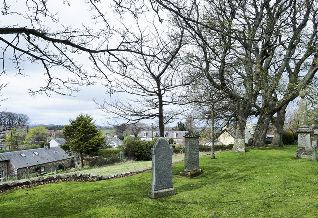
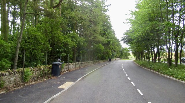
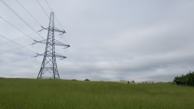
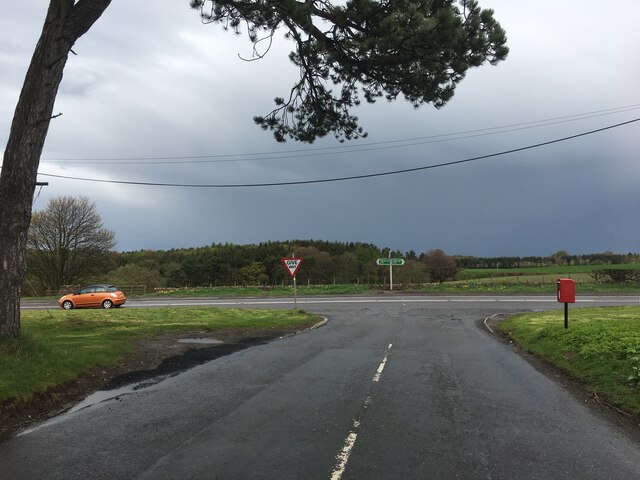
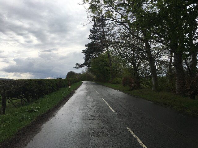
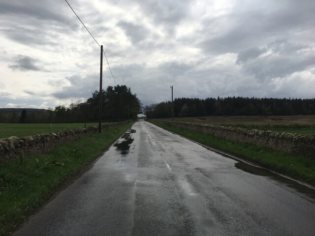
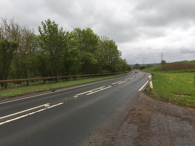
Gardiner's Hall Wood Images

Images are sourced within 2km of 55.847312/-2.9164419 or Grid Reference NT4261. Thanks to Geograph Open Source API. All images are credited.

Stubble Field near Windy Mains A winter field near Windy Mains as seen from the track to Whitburgh. Lammermuirs can be seen in the distance.
Stubble Field near Windy Mains
A winter field near Windy Mains as seen from the track to Whitburgh. Lammermuirs can be seen in the distance.
Turning for Blackcastle Several no through road signs, it only goes to the farm.
Turning for Blackcastle
Several no through road signs, it only goes to the farm.
Summit area, Dodridge Law A stripwood.
Summit area, Dodridge Law
A stripwood.
North side of Dodridge Law
Costerton Mains Taken 16 years after <a href="https://www.geograph.org.uk/photo/82964">NT4362 : Costerton Mains</a>.
Costerton Mains
Taken 16 years after NT4362 : Costerton Mains.
Clump of trees on south-west side of A68 Trees close to the A68, south-east of Pathhead.
Clump of trees on south-west side of A68
Trees close to the A68, south-east of Pathhead.
Minor road passing Old Chrighton Dean Cottage The road is close to the A68 and soon joins it in the direction of view. The cottage is named on OS maps with its name spelled without the first 'g'; the spelling used on the property's gate is used here.
Minor road passing Old Chrighton Dean Cottage
The road is close to the A68 and soon joins it in the direction of view. The cottage is named on OS maps with its name spelled without the first 'g'; the spelling used on the property's gate is used here.
Track between road and Routing Glen The track is rising towards a minor road north of the small settlement at Fala; it's not shown on OS maps. Routing Glen falling to the right, is remarkably steep-sided and deep for a lowland area.
Track between road and Routing Glen
The track is rising towards a minor road north of the small settlement at Fala; it's not shown on OS maps. Routing Glen falling to the right, is remarkably steep-sided and deep for a lowland area.
Fala, from its churchyard A view over the small settlement of Fala seen past gravestones in the graveyard. There's a warning at the entrance of the danger of unstable gravestones but no warning that there's a drop beyond the line of edging stones over which the unwary could fall.
Fala, from its churchyard
A view over the small settlement of Fala seen past gravestones in the graveyard. There's a warning at the entrance of the danger of unstable gravestones but no warning that there's a drop beyond the line of edging stones over which the unwary could fall.
A68 layby, Magazine Wood Taken shortly before a high fence was erected between wood and road.
A68 layby, Magazine Wood
Taken shortly before a high fence was erected between wood and road.
Power line near Hope Line from Cockenzie southwards.
Power line near Hope
Line from Cockenzie southwards.
Woodland, Hope View from the A68.
Woodland, Hope
View from the A68.
Junction of the B6458 and A68
B6458 near Saughland
A68 south of Pathhead
Ford Over Blackhouse Burn viewed from the North
Stubble and bales, Fala
Show me another place!

Gardiner's Hall Wood is located at Grid Ref: NT4261 (Lat: 55.847312, Lng: -2.9164419)

Unitary Authority: Midlothian

Police Authority: The Lothians and Scottish Borders

What 3 Words

///activity.tinny.swoop. Near Pencaitland, East Lothian

Related Wikis

Fala, Midlothian

Fala is a hamlet in the south-eastern corner of Midlothian, Scotland, and about 15 miles from Edinburgh. == Location == The parish of the same name is...

Humbie

Humbie is a hamlet and rural parish in East Lothian, Scotland lying in south-east of the county, approximately 10 miles (16 km) south-west of Haddington...
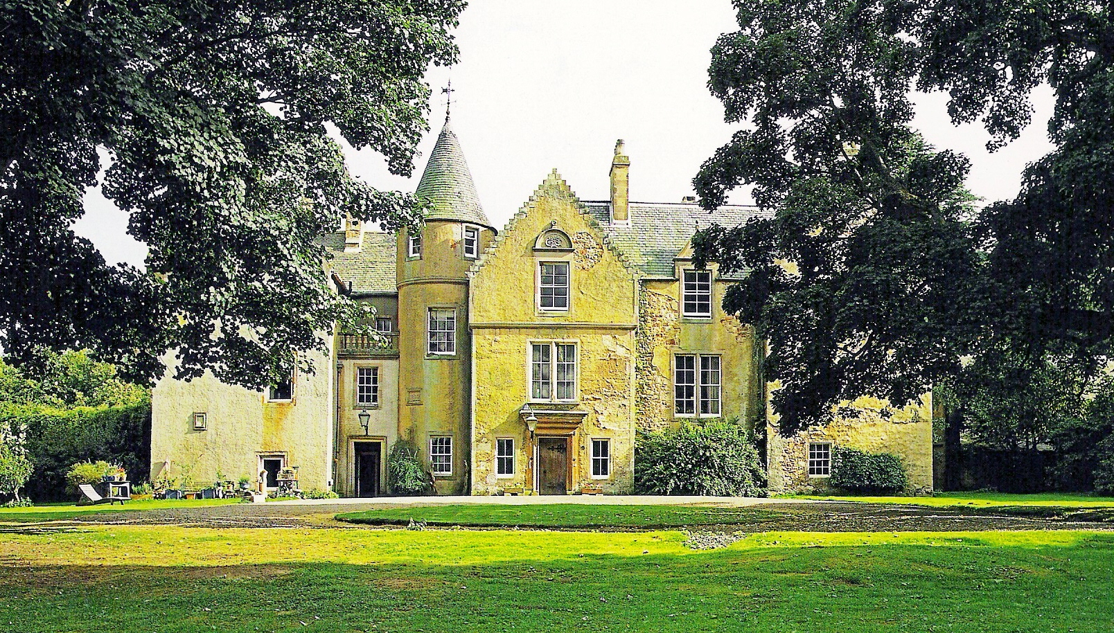
Cakemuir Castle

Cakemuir Castle is an historic house situated 4 miles (6.4 km) southeast of Pathhead, in the Lammermuir Hills, Midlothian, Scotland. The name may be connected...

Keith Marischal

Keith Marischal is a Scottish Baronial Country house lying in the parish of Humbie, East Lothian, Scotland. The original building was an "L-shaped" Tower...

Nearby Amenities

Located within 500m of 55.847312,-2.9164419
Fala Dam
Place: hamlet
Lat/Long: 55.8441538/-2.9129928
Post Box
Ref: EH37 17
Lat/Long: 55.844225/-2.9130292
Routhenhill
Place: isolated_dwelling
Lat/Long: 55.8451689/-2.9201182
Power: pole
Lat/Long: 55.8468414/-2.9238644
Power: pole
Lat/Long: 55.8463606/-2.9226829
Power: pole
Lat/Long: 55.8458985/-2.9216411
Power: pole
Lat/Long: 55.8454926/-2.9203576
Power: pole
Lat/Long: 55.8452434/-2.9194345
Power: pole
Lat/Long: 55.8449732/-2.918376
Power: pole
Lat/Long: 55.8446994/-2.9171612
Power: pole
Lat/Long: 55.8443379/-2.9159214
Power: pole
Lat/Long: 55.8439156/-2.9150046
Power: pole
Lat/Long: 55.8432827/-2.9140065
The data included in this document is from www.openstreetmap.org. The data is made available under ODbL.

Have you been to Gardiner's Hall Wood?

Leave your review of Gardiner's Hall Wood below (or comments, questions and feedback).