Fall Bank
Settlement in Yorkshire
England
Fall Bank
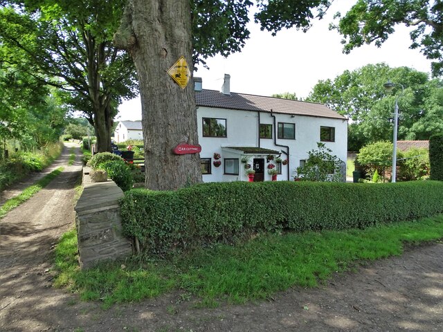
Fall Bank is a small village located in the county of Yorkshire, England. Situated in the beautiful countryside, this charming village offers a peaceful and idyllic setting for its residents. With a population of approximately 500 people, Fall Bank maintains a close-knit community atmosphere.
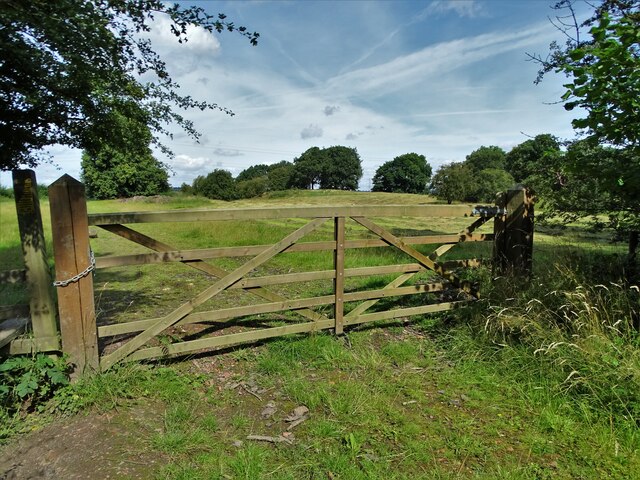
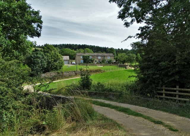
The village is surrounded by rolling hills and lush green fields, providing picturesque views throughout the year. Fall Bank is known for its stunning autumn foliage, as the trees transform into vibrant shades of red, orange, and yellow, creating a breathtaking landscape.
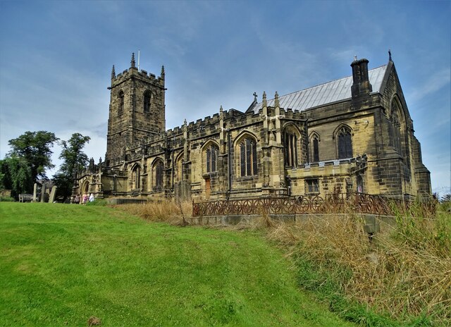
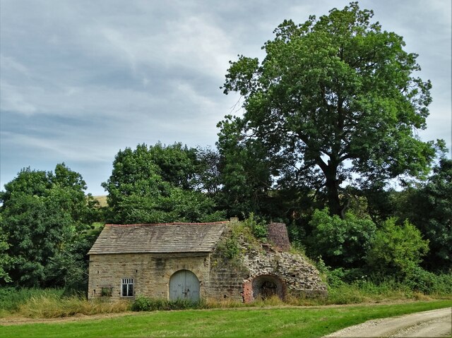
The village is rich in history and boasts several historic buildings. St. Mary's Church is a prominent feature, dating back to the 12th century. Its striking architecture and intricate detailing make it a must-visit for history enthusiasts. The village also has a local pub, The Fox and Hound, which has been serving residents and visitors for over a century.
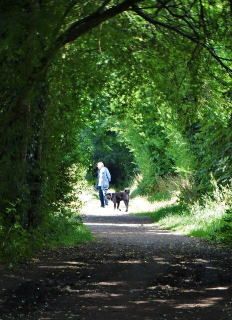
Nature lovers will find plenty to explore in Fall Bank. The nearby countryside offers numerous walking trails and scenic routes, allowing visitors to immerse themselves in the beauty of the surrounding nature. Additionally, the village is a popular destination for birdwatching enthusiasts, with a wide variety of bird species found in the area.
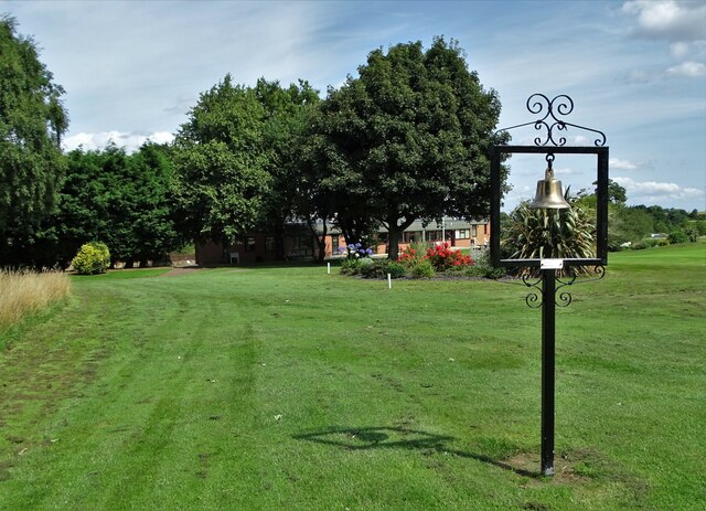
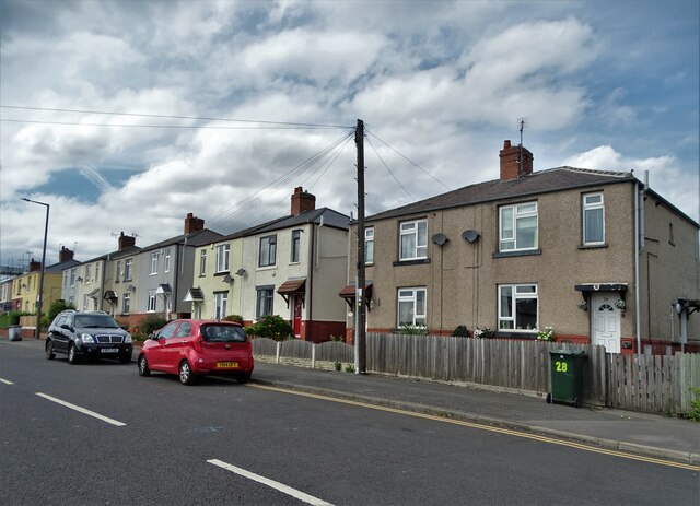
Despite its small size, Fall Bank offers basic amenities such as a village shop and a primary school, ensuring the needs of its residents are met. Its close proximity to larger towns and cities allows for easy access to additional facilities and services.
Overall, Fall Bank is a tranquil and picturesque village that offers a peaceful retreat from the bustling urban life, making it an ideal place for nature lovers and those seeking a close-knit community atmosphere.
If you have any feedback on the listing, please let us know in the comments section below.
Fall Bank Images
Images are sourced within 2km of 53.546151/-1.5349153 or Grid Reference SE3005. Thanks to Geograph Open Source API. All images are credited.


Fall Bank is located at Grid Ref: SE3005 (Lat: 53.546151, Lng: -1.5349153)
Division: West Riding
Unitary Authority: Barnsley
Police Authority: South Yorkshire
What 3 Words
///topic.upgrading.traps. Near Dodworth, South Yorkshire
Nearby Locations
Related Wikis
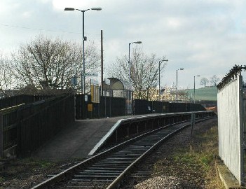
Dodworth railway station
Dodworth railway station serves the village of Dodworth, in the Metropolitan Borough of Barnsley, South Yorkshire, England. The station is 2 miles 71 chains...

Dodworth
Dodworth is a village in the metropolitan borough of Barnsley in South Yorkshire, England. Historically part of the West Riding of Yorkshire, it has a...

Higham, South Yorkshire
Higham is a village in the metropolitan borough of Barnsley in South Yorkshire, England. The village falls within the Dodworth ward of the Barnsley MBC...
Pogmoor
Pogmoor is an area of Barnsley in South Yorkshire, England. It is located to the west of the town centre, just north of junction 37 of the M1 motorway...
Nearby Amenities
Located within 500m of 53.546151,-1.5349153Have you been to Fall Bank?
Leave your review of Fall Bank below (or comments, questions and feedback).