Elstree Park
Settlement in Hertfordshire
England
Elstree Park
Elstree Park is a charming public park located in Elstree, a village in the county of Hertfordshire, England. Situated just a short distance from the bustling town of Borehamwood, the park provides a tranquil green space for residents and visitors to enjoy.
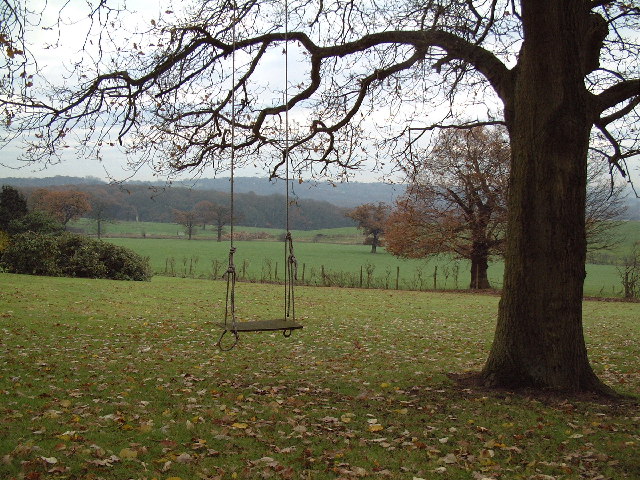
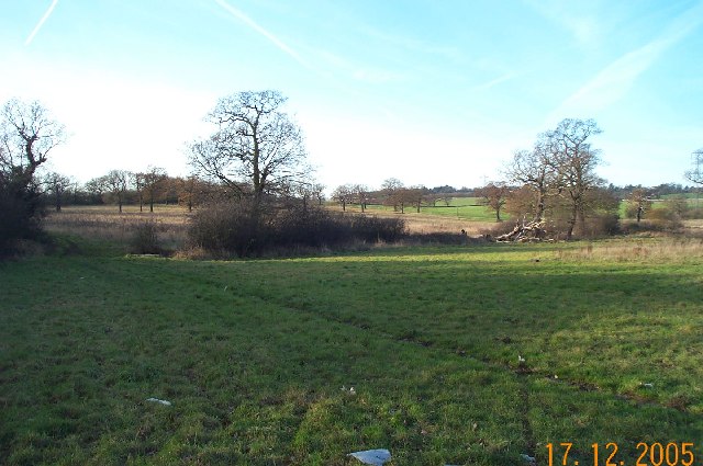
Covering an area of approximately 5 acres, Elstree Park offers a range of facilities and amenities to cater to the needs of its visitors. The park features well-maintained grassy areas, perfect for picnics, leisurely walks, or simply enjoying the outdoors. There are also several benches scattered throughout the park, providing spots for relaxation and contemplation.
For those seeking recreational activities, Elstree Park boasts a well-equipped children's playground, complete with swings, slides, and climbing frames, ensuring that younger visitors can have a fun and active experience. Additionally, the park features a multi-use games area, providing a space for sports enthusiasts to engage in activities such as football, basketball, and tennis.
Nature lovers will appreciate the park's beautiful trees, shrubs, and flower beds, which add color and vibrancy to the surroundings. Elstree Park also houses a small pond, attracting various bird species and providing an opportunity for wildlife observation.
The park benefits from ample parking facilities, making it easily accessible for visitors. It is conveniently located near local amenities, including shops, cafes, and restaurants, providing the perfect opportunity for a day out with family or friends.
Overall, Elstree Park offers a peaceful and well-maintained environment, making it a popular destination for both locals and tourists seeking a charming green space in Hertfordshire.
If you have any feedback on the listing, please let us know in the comments section below.
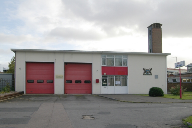
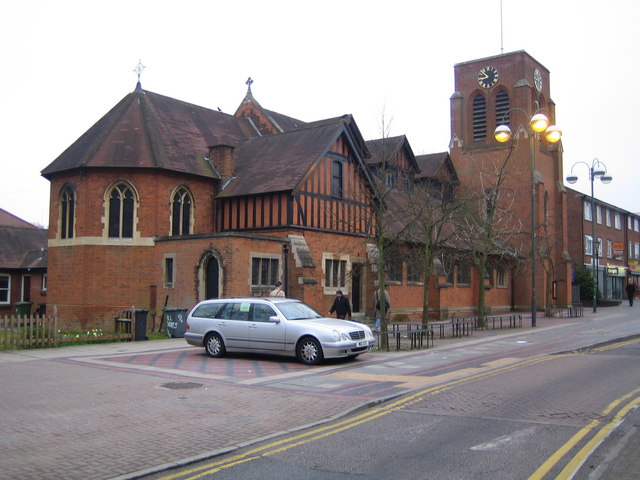
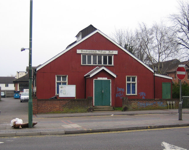
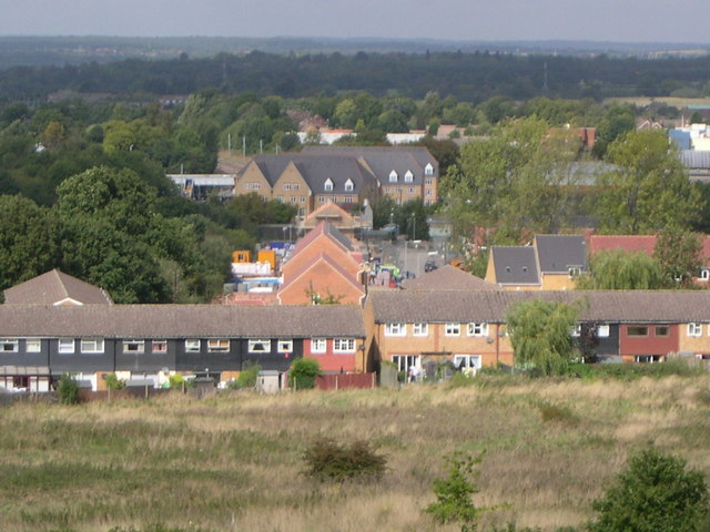
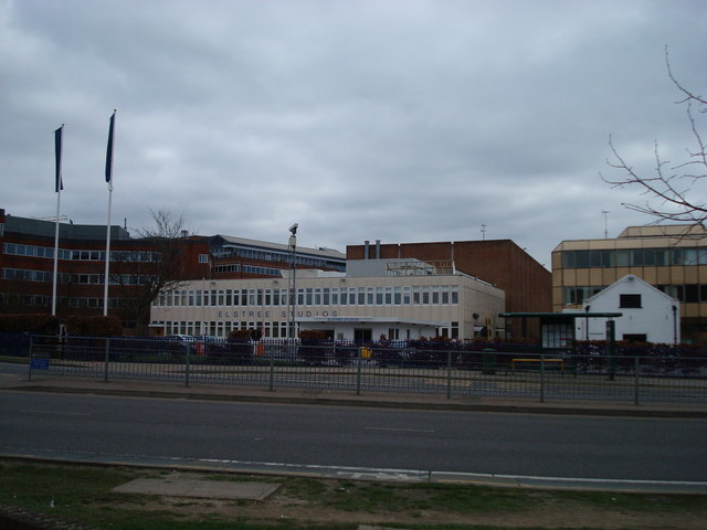
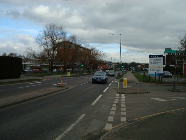
Elstree Park Images
Images are sourced within 2km of 51.642394/-0.25689857 or Grid Reference TQ2095. Thanks to Geograph Open Source API. All images are credited.
Elstree Park is located at Grid Ref: TQ2095 (Lat: 51.642394, Lng: -0.25689857)
Unitary Authority: Barnet
Police Authority: Metropolitan
What 3 Words
///singer.code.timing. Near Borehamwood, Hertfordshire
Nearby Locations
Related Wikis
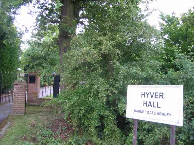
Hyver Hall
Hyver Hall is a grade II listed house in Barnet Road, to the west of Barnet Gate and Arkley, in the London Borough of Barnet.It was purchased by Harpinder...

Scratchwood
Scratchwood is an extensive, mainly wooded, country park in Mill Hill in the London Borough of Barnet. The 57-hectare site is a Site of Metropolitan Importance...

NW London F.C.
NW London Football Club is a football club based in Arkley, London, England. They are currently members of the Eastern Counties League Division One South...
Hadley F.C.
Hadley Football Club is a football club based in Arkley, Barnet, England. Affiliated to the Hertfordshire County Football Association, they are currently...

Barnet Gate Wood
Barnet Gate Wood is a public open space in Barnet Gate, Barnet, London. It is owned and managed by the London Borough of Barnet, and is part of the Watling...

Barnet Gate Mill
Barnet Gate Mill or Arkley Windmill is a grade II* listed tower mill at Barnet Gate in the London Borough of Barnet, originally in Hertfordshire. There...

Moat Mount Open Space
Moat Mount Open Space is a 110-hectare park and nature reserve in Mill Hill in the London Borough of Barnet. It is part of Moat Mount Open Space and Mote...

Barnet Gate
Barnet Gate is a hamlet on the northern edge of the London Borough of Barnet to the west of Arkley, in England. There was a settlement there during the...
Nearby Amenities
Located within 500m of 51.642394,-0.25689857Have you been to Elstree Park?
Leave your review of Elstree Park below (or comments, questions and feedback).