Froghall Wood
Wood, Forest in Middlesex
England
Froghall Wood
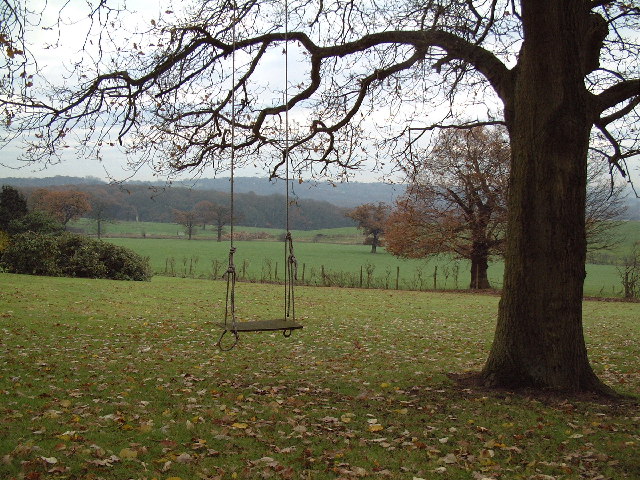
Froghall Wood, located in the county of Middlesex, is a picturesque woodland area that spans across a sprawling landscape of approximately 200 acres. Situated amidst the bustling suburbs of London, this tranquil forest provides a welcome retreat from the city's hustle and bustle.
The wood is primarily composed of a diverse range of tree species, including oak, beech, ash, and birch, which create a rich and vibrant canopy overhead. These trees, some of which are centuries-old, provide a habitat for a wide variety of wildlife, making Froghall Wood a popular destination for nature enthusiasts and wildlife photographers.
The forest floor is covered in a lush carpet of ferns, bluebells, and wildflowers, creating a vibrant and colorful display during the spring and summer months. Walking trails meander through the wood, allowing visitors to explore the area at their own pace. These paths are well-maintained and suitable for both casual strollers and avid hikers.
Froghall Wood also boasts a small stream that winds its way through the forest, adding to the area's natural charm. The babbling brook provides a peaceful soundtrack as visitors traverse the wood, and its banks are often frequented by various bird species, including kingfishers and herons.
The wood is open to the public year-round and is a favorite spot for picnickers, dog walkers, and families looking to escape the city for a day. With its tranquil atmosphere, diverse flora and fauna, and well-maintained trails, Froghall Wood is a hidden gem in Middlesex, offering a much-needed respite from urban life.
If you have any feedback on the listing, please let us know in the comments section below.
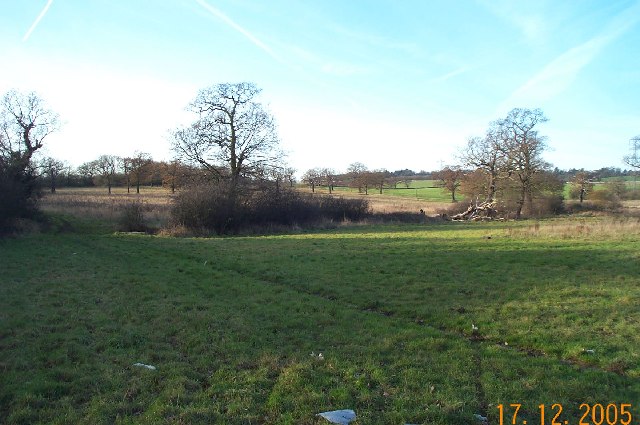
Froghall Wood Images
Images are sourced within 2km of 51.641729/-0.25755997 or Grid Reference TQ2095. Thanks to Geograph Open Source API. All images are credited.

Froghall Wood is located at Grid Ref: TQ2095 (Lat: 51.641729, Lng: -0.25755997)
Unitary Authority: Barnet
Police Authority: Metropolitan
What 3 Words
///ever.exists.bags. Near Borehamwood, Hertfordshire
Nearby Locations
Related Wikis
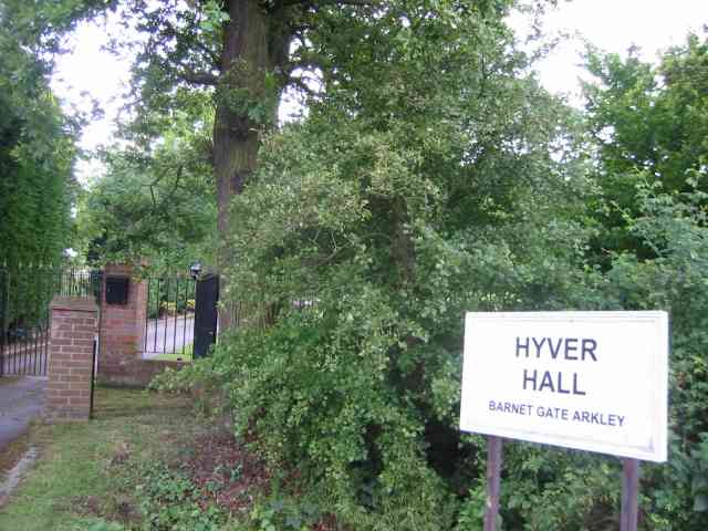
Hyver Hall
Hyver Hall is a grade II listed house in Barnet Road, to the west of Barnet Gate and Arkley, in the London Borough of Barnet.It was purchased by Harpinder...

Scratchwood
Scratchwood is an extensive, mainly wooded, country park in Mill Hill in the London Borough of Barnet. The 57-hectare site is a Site of Metropolitan Importance...

NW London F.C.
NW London Football Club is a football club based in Arkley, London, England. They are currently members of the Eastern Counties League Division One South...
Hadley F.C.
Hadley Football Club is a football club based in Arkley, Barnet, England. Affiliated to the Hertfordshire County Football Association, they are currently...

Barnet Gate Wood
Barnet Gate Wood is a public open space in Barnet Gate, Barnet, London. It is owned and managed by the London Borough of Barnet, and is part of the Watling...

Moat Mount Open Space
Moat Mount Open Space is a 110-hectare park and nature reserve in Mill Hill in the London Borough of Barnet. It is part of Moat Mount Open Space and Mote...

Barnet Gate Mill
Barnet Gate Mill or Arkley Windmill is a grade II* listed tower mill at Barnet Gate in the London Borough of Barnet, originally in Hertfordshire. There...

Woodcock Hill Village Green
Woodcock Hill Village Green or Woodcock Hill Open Space is an area of grass and woodland in Borehamwood in Hertfordshire in England. It was designated...
Nearby Amenities
Located within 500m of 51.641729,-0.25755997Have you been to Froghall Wood?
Leave your review of Froghall Wood below (or comments, questions and feedback).