Elton
Settlement in Nottinghamshire Rushcliffe
England
Elton

Elton is a small village located in the county of Nottinghamshire, in the East Midlands region of England. Situated approximately 6 miles north of the vibrant city of Nottingham, Elton is nestled in a picturesque rural setting, surrounded by rolling hills and beautiful countryside.
With a population of around 500 residents, Elton is a close-knit community known for its friendly and welcoming atmosphere. The village boasts a rich history, with traces of its past dating back to the Domesday Book of 1086. Despite its small size, Elton offers a variety of amenities to its residents, including a village hall, a primary school, and a charming village pub.
Nature lovers are drawn to Elton for its stunning natural landscapes and outdoor recreational opportunities. The village is surrounded by numerous walking trails and bridleways, making it an excellent base for hikers and cyclists. Elton also benefits from its proximity to the River Trent, which offers opportunities for fishing and boating enthusiasts.
For those seeking cultural experiences, nearby Nottingham provides a wealth of attractions and activities. Nottingham Castle, the Tales of Robin Hood museum, and the historic Lace Market district are just a few examples of the city's rich heritage and vibrant cultural scene.
With its idyllic countryside setting and proximity to a bustling city, Elton offers residents a peaceful retreat while still being within easy reach of urban amenities.
If you have any feedback on the listing, please let us know in the comments section below.
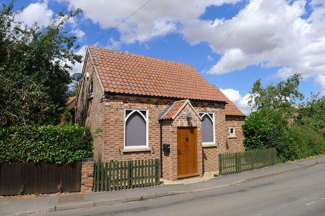
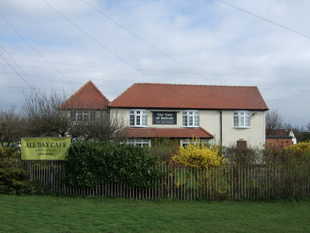
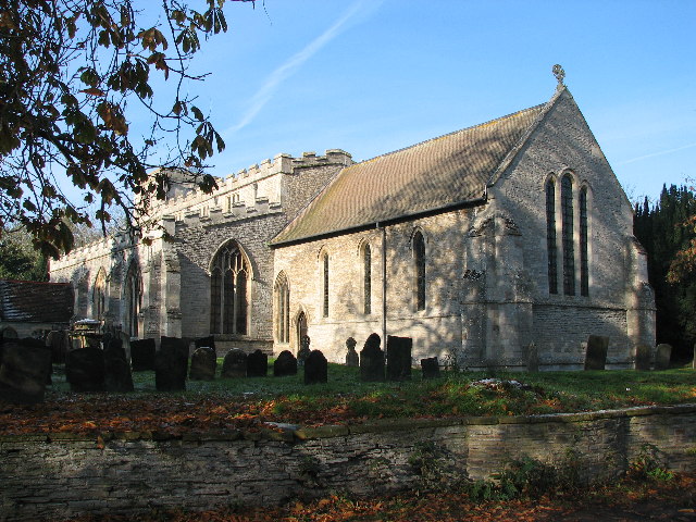
Elton Images
Images are sourced within 2km of 52.939333/-0.86016546 or Grid Reference SK7638. Thanks to Geograph Open Source API. All images are credited.


Elton is located at Grid Ref: SK7638 (Lat: 52.939333, Lng: -0.86016546)
Administrative County: Nottinghamshire
District: Rushcliffe
Police Authority: Nottinghamshire
Also known as: Elton on the Hill
What 3 Words
///dream.daffodils.hires. Near Aslockton, Nottinghamshire
Nearby Locations
Related Wikis
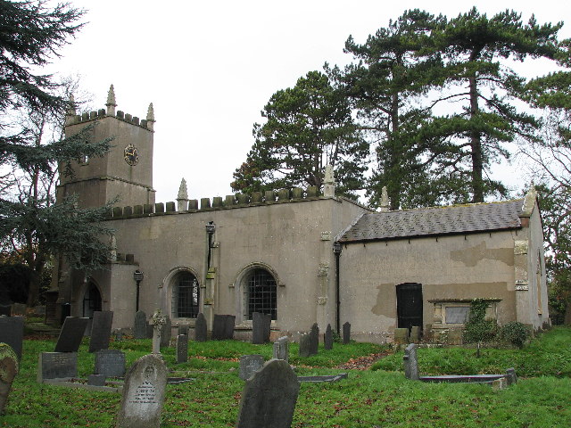
St Michael and All Angels' Church, Elton on the Hill
St Michael and All Angels' Church, Elton on the Hill is a parish church in the Church of England in Elton on the Hill, Nottinghamshire. It is Grade II...

Elton on the Hill
Elton on the Hill is a small Nottinghamshire village and civil parish in the Vale of Belvoir. The population of about 75 is included with the civil parish...
Orston
Orston is an English village and civil parish in the Rushcliffe borough of Nottinghamshire, 15 miles (24 km) east of Nottingham. It borders the parishes...

Sutton-cum-Granby
Sutton-cum-Granby (also known as Sutton or Sutton in the Vale) is a hamlet in the Borough of Rushcliffe in Nottinghamshire, England. It lies in the Vale...
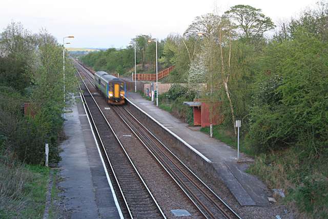
Elton and Orston railway station
Elton and Orston (formerly Elton) railway station serves the villages of Elton on the Hill and Orston in Nottinghamshire, England. It is owned by Network...
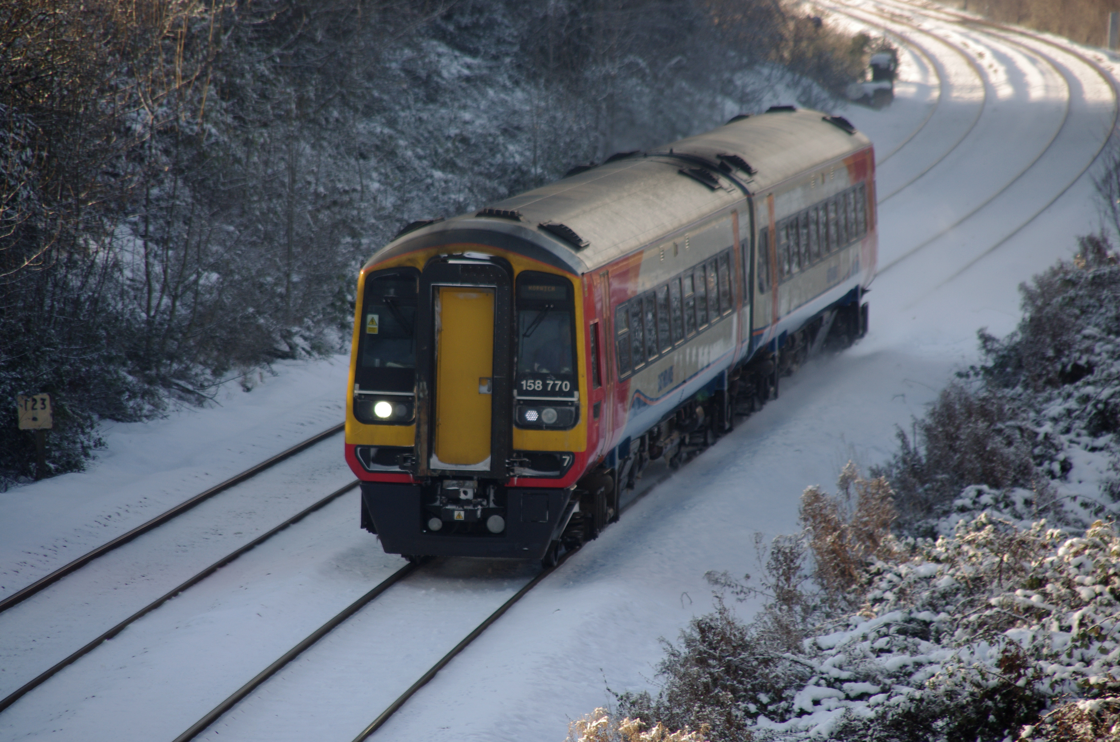
Nottingham–Grantham line
The Nottingham–Grantham line is a branch line between the city of Nottingham and the town of Grantham in the East Midlands of England. For most of its...

Vale of Belvoir
The Vale of Belvoir ( BEE-vər) covers adjacent areas of Leicestershire, Nottinghamshire and Lincolnshire, England. The name derives from the Norman-French...
Whatton-in-the-Vale
Whatton-in-the-Vale is an English village in the Nottinghamshire borough of Rushcliffe. It lies in the Vale of Belvoir, with the River Smite to the west...
Nearby Amenities
Located within 500m of 52.939333,-0.86016546Have you been to Elton?
Leave your review of Elton below (or comments, questions and feedback).