Elmesthorpe

Settlement in Leicestershire Blaby

England

Elmesthorpe

Astley Road, Elmsthorpe
Astley Road, Elmsthorpe Credit: Dave Thompson

Elmesthorpe is a small village located in the county of Leicestershire, England. Situated approximately 9 miles south-west of Leicester, it falls within the district of Blaby. The village is nestled in the scenic countryside, providing a peaceful and picturesque environment for its residents.

With a population of just over 1,000 people, Elmesthorpe maintains a close-knit community feel. The village is known for its charming historic buildings, including the Grade II listed St. Mary's Church, which dates back to the 13th century. The church's stunning architecture and beautiful stained glass windows make it a notable landmark in the area.

Elmesthorpe is well-connected to surrounding areas by road and rail. The A47 road runs through the village, providing easy access to Leicester and Hinckley. The nearest train station is Narborough, which is just a short drive away and offers direct links to Leicester, Birmingham, and London.

Although Elmesthorpe is primarily a residential area, it has a few amenities to cater to the needs of its residents. These include a village hall, a primary school, and a local pub. Additionally, the village is surrounded by green spaces and countryside, making it an ideal location for outdoor activities such as walking, cycling, and horse riding.

Overall, Elmesthorpe offers a tranquil and friendly setting for those seeking a peaceful village lifestyle within easy reach of larger towns and cities.

If you have any feedback on the listing, please let us know in the comments section below.
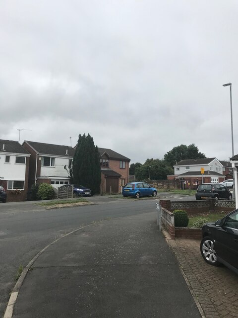
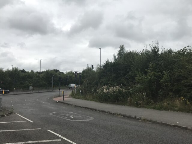
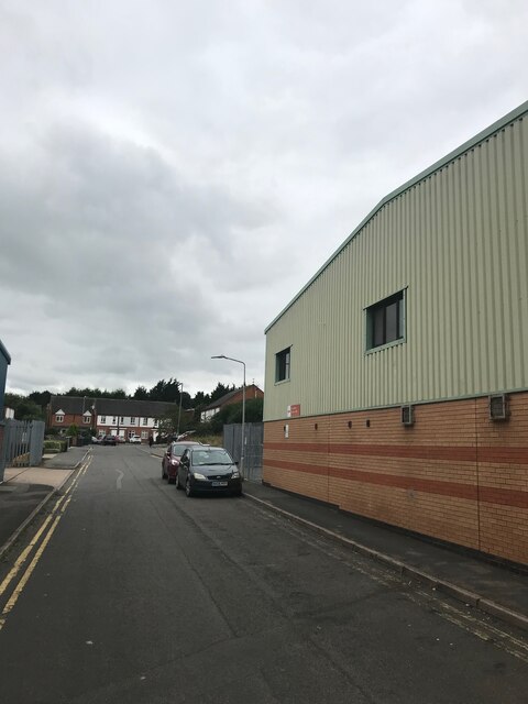
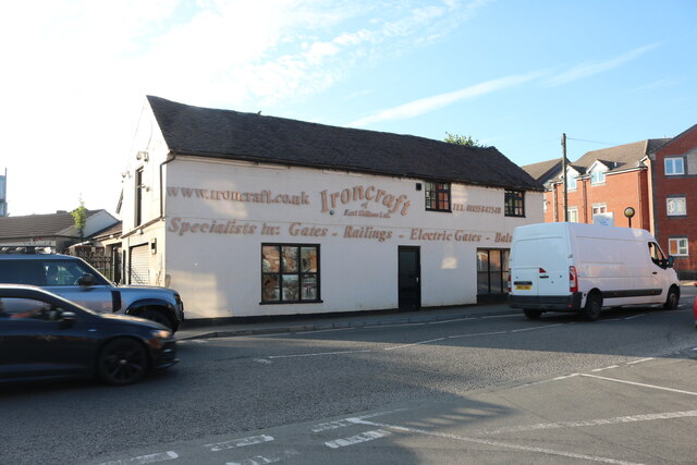
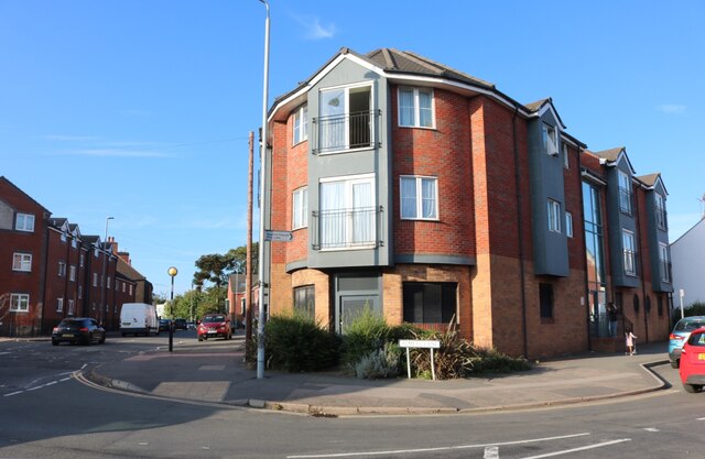
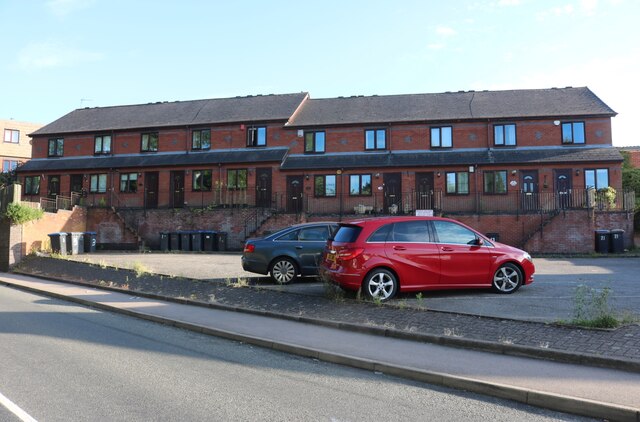
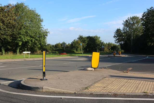
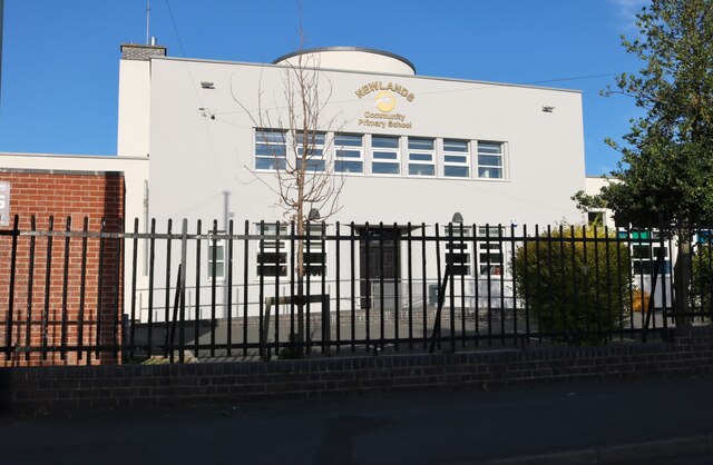
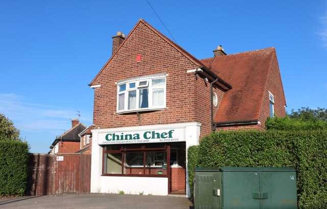
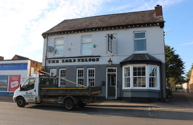
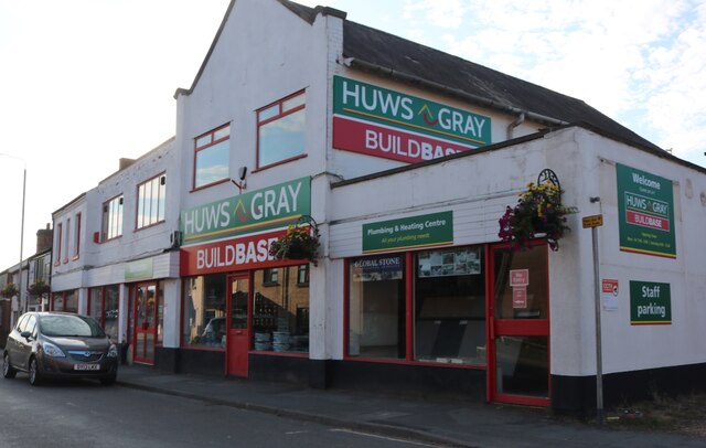
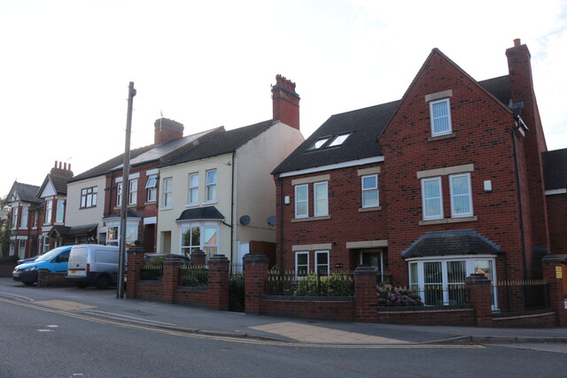
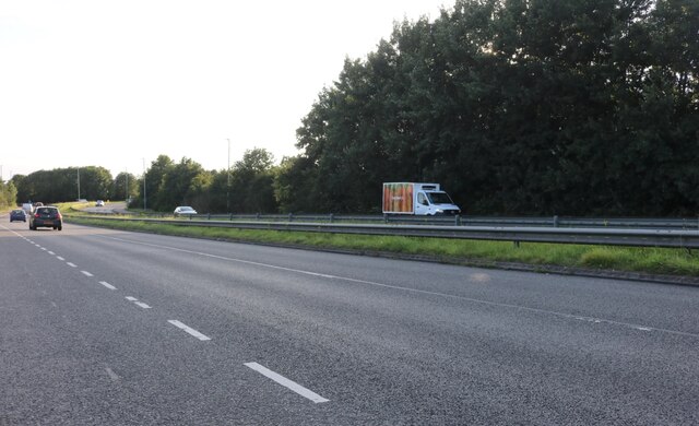
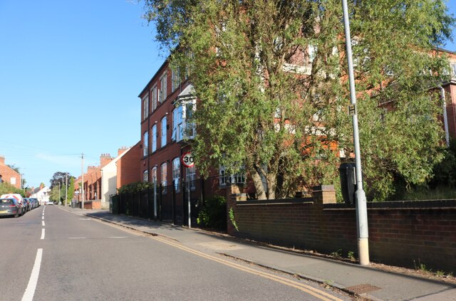
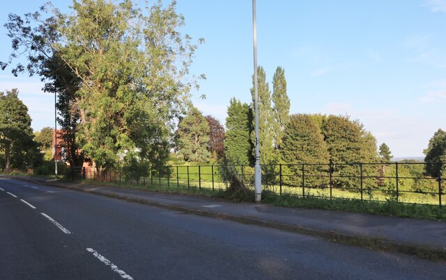
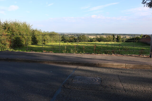
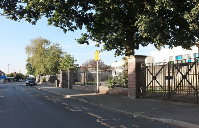
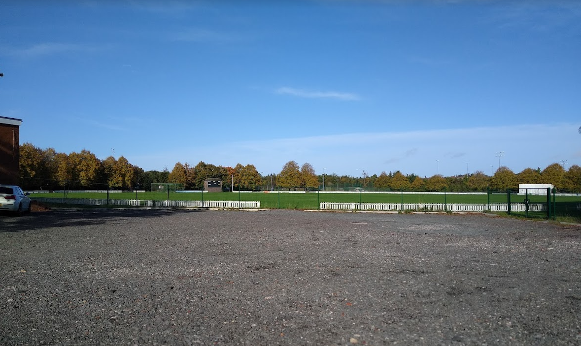
Elmesthorpe Images

Images are sourced within 2km of 52.564392/-1.3242511 or Grid Reference SP4596. Thanks to Geograph Open Source API. All images are credited.

Astley Road, Elmsthorpe
Junction with A47
Junction with A47
Post Office Sorting Centre
Ironcraft on High Street, Earl Shilton
Almeys Lane at the corner of High Street, Earl Shilton The Almey family have a blue plaque going back to  the 18th century for the three brothers who fought in the battle of Waterloo and was put up on its 200th anniversary in 2015. <span class="nowrap"><a title="https://en.wikipedia.org/wiki/Earl_Shilton" rel="nofollow ugc noopener" href="https://en.wikipedia.org/wiki/Earl_Shilton">Link</a><img style="margin-left:2px;" alt="External link" title="External link - shift click to open in new window" src="https://s1.geograph.org.uk/img/external.png" width="10" height="10"/></span>
Almeys Lane at the corner of High Street, Earl Shilton
The Almey family have a blue plaque going back to the 18th century for the three brothers who fought in the battle of Waterloo and was put up on its 200th anniversary in 2015. LinkExternal link
Row of houses on Stapleton Lane, Barwell
Leicester Road, Barwell At the end of Station Road
Leicester Road, Barwell
At the end of Station Road
Newlands Primary School, Barwell
China Chef on Belle Vue Road, Barwell
The Lord Nelson, Earl Shilton
The entrance to Buildbase on Wood Street, Earl Shilton
Buildbase on Wood Street, Earl Shilton
Houses on Hinckley Road, Earl Shilton One of them is not like the others.
Houses on Hinckley Road, Earl Shilton
One of them is not like the others.
The A47, Elmsethorpe
Shilton Road, Barwell
Fields by Shilton Road, Barwell
Belle Vue Road, Barwell By Newlands School
Belle Vue Road, Barwell
By Newlands School
Show me another place!

Elmesthorpe is located at Grid Ref: SP4596 (Lat: 52.564392, Lng: -1.3242511)

Administrative County: Leicestershire

District: Blaby

Police Authority: Leicestershire

What 3 Words

///stags.recliner.slang. Near Earl Shilton, Leicestershire

Nearby Locations

Elmesthorpe Carrs Hill

Related Wikis

Elmesthorpe

Elmesthorpe (sometimes spelt Elmersthorpe, Elmsthorpe or Aylmersthorpe) is a village and civil parish in the Blaby district of Leicestershire, England...

Elmesthorpe railway station

Elmesthorpe was a railway station serving the village of Elmesthorpe in the Blaby district of Leicestershire, England. It was located on what is now the...

Hinckley Leicester Road F.C.

Hinckley Leicester Road Football Club is a football club based in Hinckley, England. Formed on 4 November 2013 after the liquidation of Hinckley United...

Leicester Road

The Leicester Road Ground is a cricket ground based in the town of Hinckley, Leicestershire. It has, in the past, been used by Leicestershire as an outground...

Heath Lane Academy

Heath Lane Academy is a co-educational secondary school and sixth form located in Earl Shilton, Leicestershire, England. It has been previously known as...

Hinckley A.F.C.

Hinckley Association Football Club is a football club, from Hinckley, Leicestershire, who play home games at Barwell's Kirkby Road. The club was formed...

Barwell F.C.

Barwell Football Club is a football club based in Barwell, near Hinckley in Leicestershire, England. They are currently members of the Southern League...

NKF Burbage F.C.

NKF Burbage Football Club was a football club based in Burbage, Leicestershire, England. The club was affiliated to the Leicestershire and Rutland County...

Nearby Amenities

Located within 500m of 52.564392,-1.3242511
Traffic Signals
Crossing: traffic_signals
Lat/Long: 52.5649455/-1.3253143
Crossing
Crossing: traffic_signals
Crossing Ref: toucan
Lat/Long: 52.5664659/-1.3191852
Crossing
Crossing: traffic_signals
Crossing Ref: toucan
Lat/Long: 52.5664593/-1.3198316
Crossing
Crossing: traffic_signals
Crossing Ref: toucan
Lat/Long: 52.566629/-1.3195371
Crossing
Crossing: traffic_signals
Crossing Ref: toucan
Lat/Long: 52.5648722/-1.3254712
Traffic Signals
Crossing: traffic_signals
Lat/Long: 52.5664703/-1.3195553
Recycling
Lat/Long: 52.5648727/-1.3207196
Bus Stop
Station Road
Bus: yes
Naptan AtcoCode: 260003601
Naptan Bearing: NW
Naptan CommonName: Station Road
Naptan Indicator: eastern corner with
Naptan Landmark: Bridlepath Road
Naptan NaptanCode: leidtajp
Naptan Notes: Hourly - County
Naptan Street: Station Road
Naptan Verified: no
Public Transport: platform
Source: naptan_import
Lat/Long: 52.5637578/-1.3212755
Turning Circle
Lat/Long: 52.5663448/-1.3252599
Crossing
Crossing: traffic_signals
Crossing Ref: toucan
Lat/Long: 52.5647501/-1.3253971
Crossing
Crossing: traffic_signals
Crossing Ref: pelican
Lat/Long: 52.5648367/-1.3251673
Crossing
Crossing: traffic_signals
Crossing Ref: pelican
Lat/Long: 52.5650597/-1.3250979
Post Box
Operator: Royal Mail
Lat/Long: 52.564627/-1.320788
Leisure: playground
Lat/Long: 52.5676744/-1.3240316
Generator Method: photovoltaic
Generator Output Electricity: yes
Generator Source: solar
Generator Type: solar_photovoltaic_panel
Location: roof
Power: generator
Lat/Long: 52.5680881/-1.3228885
The data included in this document is from www.openstreetmap.org. The data is made available under ODbL.

Have you been to Elmesthorpe?

Leave your review of Elmesthorpe below (or comments, questions and feedback).