Elmdale
Settlement in Herefordshire
England
Elmdale
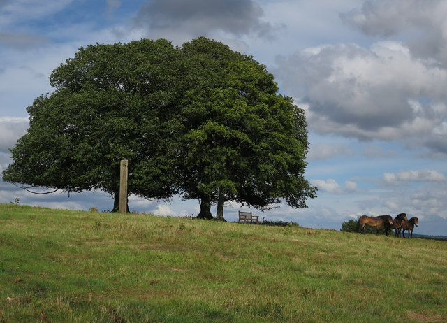
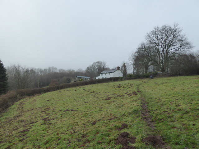
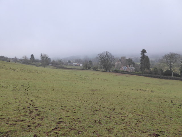
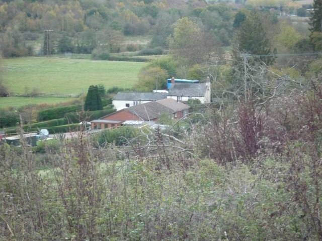
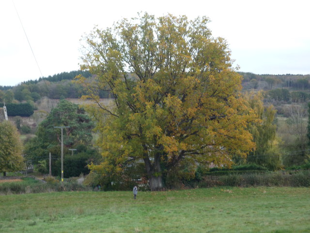
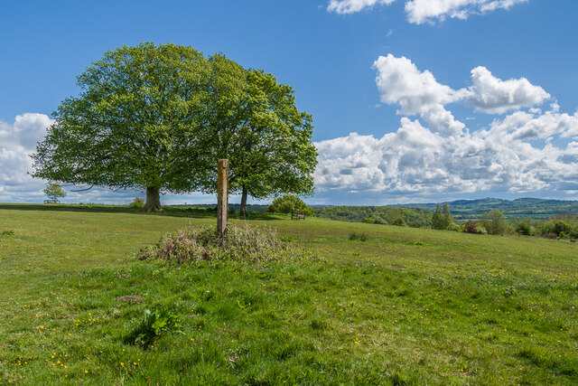
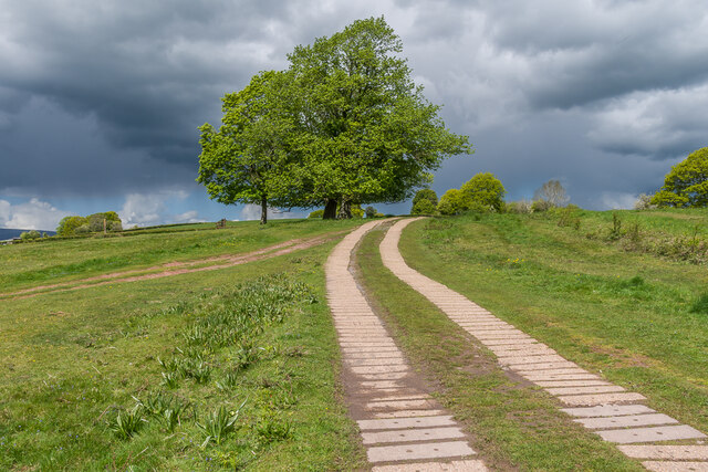
Elmdale is a small village located in the county of Herefordshire, England. Nestled amidst picturesque countryside, the village is situated about 5 miles northwest of the city of Hereford. Elmdale is known for its idyllic setting, characterized by rolling hills, meandering streams, and lush green fields.
The village itself is relatively small, with a population of around 500 residents. It exudes a charming, rustic atmosphere, with traditional stone houses and quaint cottages lining the streets. Elmdale is renowned for its sense of community, as locals often gather at the village pub, The Elm Tree Inn, which serves as a hub for socializing and events.
Despite its size, Elmdale boasts a surprising array of amenities and services. The village has a primary school, providing education for local children, and a village hall which hosts various events, including community meetings and celebrations. Additionally, there is a small convenience store that caters to daily needs.
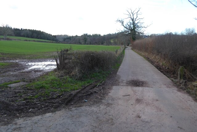
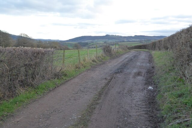
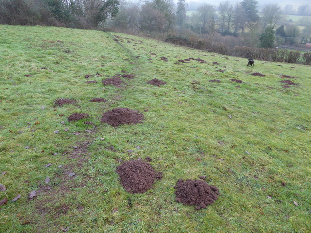
The surrounding area offers numerous opportunities for outdoor activities and exploration. Elmdale is surrounded by beautiful walking trails, offering stunning views of the Herefordshire countryside. The nearby River Wye provides opportunities for fishing and boating enthusiasts, while golfers can enjoy the nearby golf courses.
With its tranquil ambiance, close-knit community, and access to natural beauty, Elmdale offers a peaceful and picturesque lifestyle for its residents, making it a desirable place to live in Herefordshire.
If you have any feedback on the listing, please let us know in the comments section below.
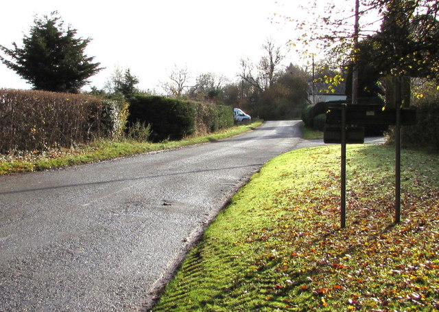
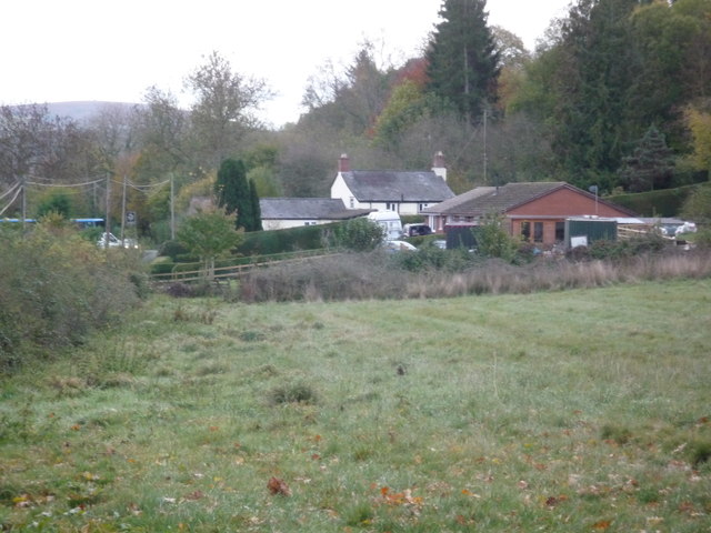
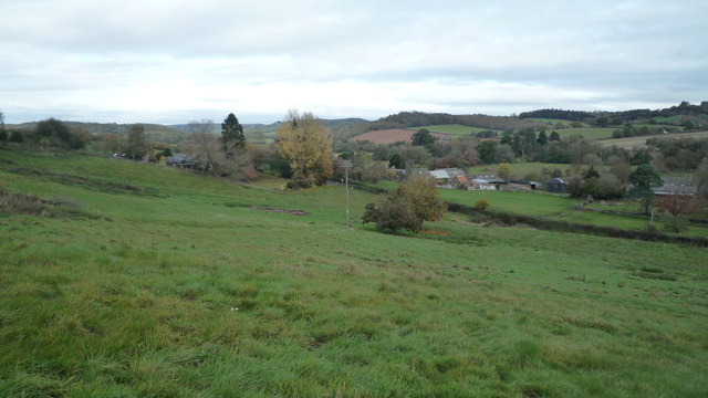
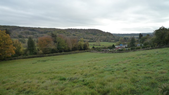
Elmdale Images
Images are sourced within 2km of 51.951419/-2.8824409 or Grid Reference SO3928. Thanks to Geograph Open Source API. All images are credited.
Elmdale is located at Grid Ref: SO3928 (Lat: 51.951419, Lng: -2.8824409)
Unitary Authority: County of Herefordshire
Police Authority: West Merica
What 3 Words
///october.alarm.rationing. Near Ewyas Harold, Herefordshire
Nearby Locations
Related Wikis

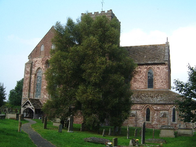
Ewyas Harold
Ewyas Harold () is a village and civil parish in the Golden Valley in Herefordshire, England, near the Wales-England border about halfway between Abergavenny...

Kenderchurch
Kenderchurch is a village and former civil parish, now in the parish of Kilpeck, in the county of Herefordshire, England. In 2001 the parish had a population...

Pontrilas railway station
Pontrilas railway station is a former station which served the Herefordshire villages of Pontrilas and Ewyas Harold, and was a little distance from Grosmont...

Ewyas Harold Castle
Ewyas Harold Castle was a castle in the village of Ewyas Harold in Herefordshire, England. == History == The first castle on the site is believed to be...

Pontrilas Court
Pontrilas Court situated at the west end of the village Pontrilas in Herefordshire is a large stone Grade II* listed mansion and is marked on the 1904...

Pontrilas
Pontrilas (English: Bridge over Three Rivers) is a village in south Herefordshire, England, half a mile from the border with Wales. It is in the parish...
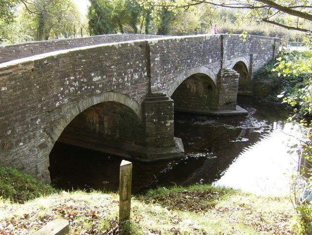
River Dore
The River Dore (Welsh: Afon Aur lit: 'the river of gold') is a tributary of the River Monnow in Herefordshire, England. It rises on Cusop Hill, in the...
Ewyas Harold Meadows
Ewyas Harold Meadows is a nature reserve managed by Butterfly Conservation near the village of Ewyas Harold, Herefordshire, England. == References ==
Nearby Amenities
Located within 500m of 51.951419,-2.8824409Have you been to Elmdale?
Leave your review of Elmdale below (or comments, questions and feedback).