Carrs Hill

Hill, Mountain in Leicestershire Hinckley and Bosworth

England

Carrs Hill

Astley Road, Elmsthorpe
Astley Road, Elmsthorpe Credit: Dave Thompson

Carrs Hill is a prominent geographical feature located in Leicestershire, England. Although referred to as a hill, it is more accurately classified as a large, rounded mound, rising around 200 meters above sea level. Situated near the village of Carrs Hill, the site offers breathtaking panoramic views of the surrounding countryside.

Covered in lush greenery, the hill is home to a diverse range of flora and fauna, making it a popular destination for nature lovers and hikers. The area is characterized by rolling landscapes, with gentle slopes and occasional rocky outcrops. The hill is primarily composed of limestone, which contributes to its distinctive appearance and also provides fertile soil for plant growth.

Carrs Hill has a rich history, with archaeological evidence suggesting human activity in the area dating back thousands of years. It is believed that the hill may have served as a defensive site during ancient times due to its elevated position and strategic location. The remnants of Iron Age hillforts can still be seen on the summit, providing a glimpse into the region's past.

Today, Carrs Hill attracts visitors from far and wide, offering a variety of recreational activities. Hiking trails crisscross the hill, allowing visitors to explore its natural beauty and enjoy the stunning vistas. The hill is also a popular spot for picnics, photography, and birdwatching, as it is home to a range of avian species.

Overall, Carrs Hill is a picturesque and historically significant landmark in Leicestershire, inviting visitors to connect with nature and discover the region's rich heritage.

If you have any feedback on the listing, please let us know in the comments section below.
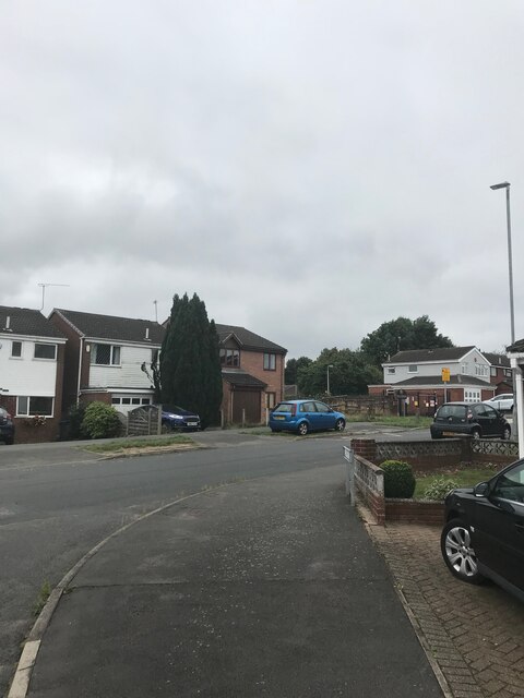
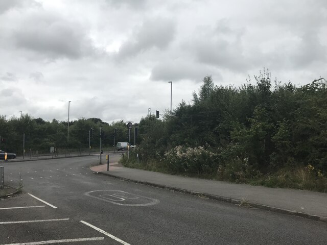
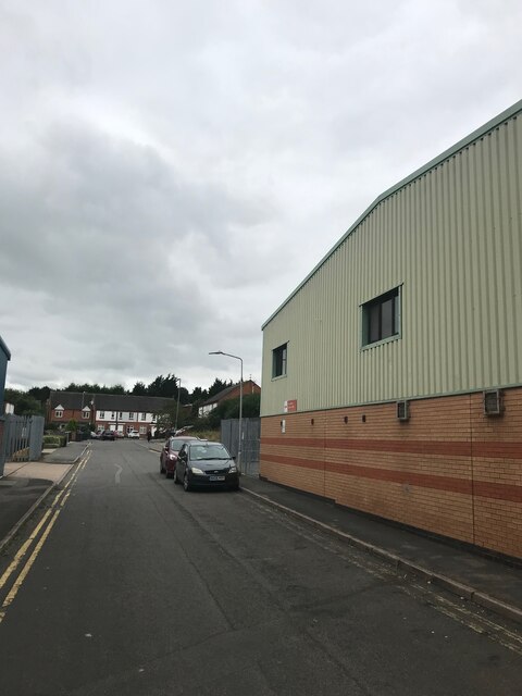
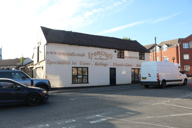
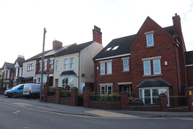
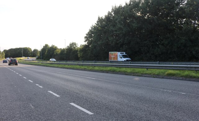
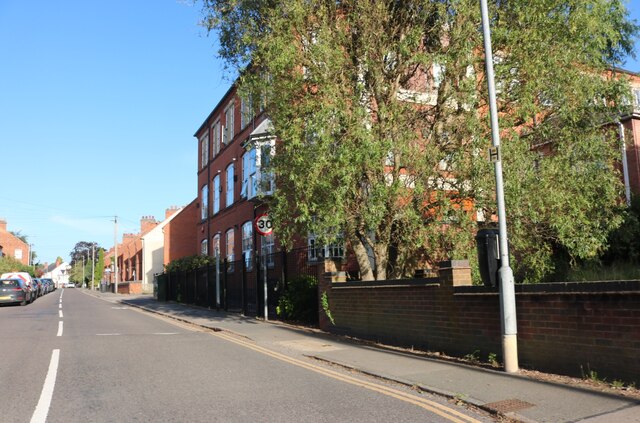
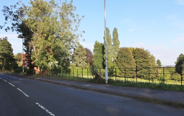
Carrs Hill Images

Images are sourced within 2km of 52.568596/-1.329911 or Grid Reference SP4596. Thanks to Geograph Open Source API. All images are credited.

Astley Road, Elmsthorpe
Junction with A47
Junction with A47
Post Office Sorting Centre
Ironcraft on High Street, Earl Shilton
Almeys Lane at the corner of High Street, Earl Shilton The Almey family have a blue plaque going back to  the 18th century for the three brothers who fought in the battle of Waterloo and was put up on its 200th anniversary in 2015. <span class="nowrap"><a title="https://en.wikipedia.org/wiki/Earl_Shilton" rel="nofollow ugc noopener" href="https://en.wikipedia.org/wiki/Earl_Shilton">Link</a><img style="margin-left:2px;" alt="External link" title="External link - shift click to open in new window" src="https://s1.geograph.org.uk/img/external.png" width="10" height="10"/></span>
Almeys Lane at the corner of High Street, Earl Shilton
The Almey family have a blue plaque going back to the 18th century for the three brothers who fought in the battle of Waterloo and was put up on its 200th anniversary in 2015. LinkExternal link
The entrance to Barwell Household Waste Site
Row of houses on Stapleton Lane, Barwell
Leicester Road, Barwell At the end of Station Road
Leicester Road, Barwell
At the end of Station Road
Newlands Primary School, Barwell
China Chef on Belle Vue Road, Barwell
The entrance to Barwell Cattery on Kirkby Road
The Lord Nelson, Earl Shilton
The entrance to Buildbase on Wood Street, Earl Shilton
Buildbase on Wood Street, Earl Shilton
Houses on Hinckley Road, Earl Shilton One of them is not like the others.
Houses on Hinckley Road, Earl Shilton
One of them is not like the others.
The A47, Elmsethorpe
Shilton Road, Barwell
Show me another place!

Carrs Hill is located at Grid Ref: SP4596 (Lat: 52.568596, Lng: -1.329911)

Administrative County: Leicestershire

District: Hinckley and Bosworth

Police Authority: Leicestershire

What 3 Words

///acids.plant.awoke. Near Earl Shilton, Leicestershire

Nearby Locations

Elmesthorpe Carrs Hill

Related Wikis

Elmesthorpe

Elmesthorpe (sometimes spelt Elmersthorpe, Elmsthorpe or Aylmersthorpe) is a village and civil parish in the Blaby district of Leicestershire, England...

Heath Lane Academy

Heath Lane Academy is a co-educational secondary school and sixth form located in Earl Shilton, Leicestershire, England. It has been previously known as...

Hinckley A.F.C.

Hinckley Association Football Club is a football club, from Hinckley, Leicestershire, who play home games at Barwell's Kirkby Road. The club was formed...

Barwell F.C.

Barwell Football Club is a football club based in Barwell, near Hinckley in Leicestershire, England. They are currently members of the Southern League...

NKF Burbage F.C.

NKF Burbage Football Club was a football club based in Burbage, Leicestershire, England. The club was affiliated to the Leicestershire and Rutland County...
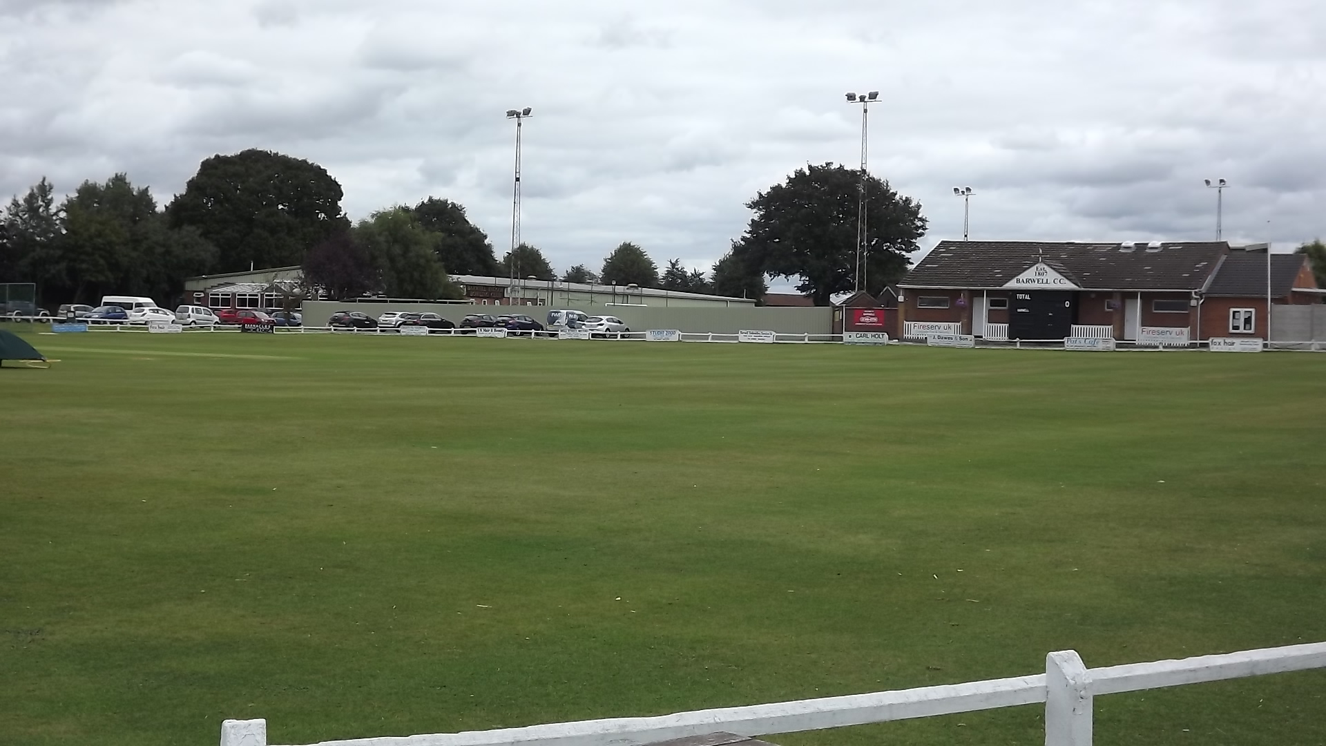
Kirkby Road

Kirkby Road is a cricket ground in Barwell, Leicestershire. Cricket in Barwell dates to 1807, with cricket being played at Kirkby Road since at least 1913...
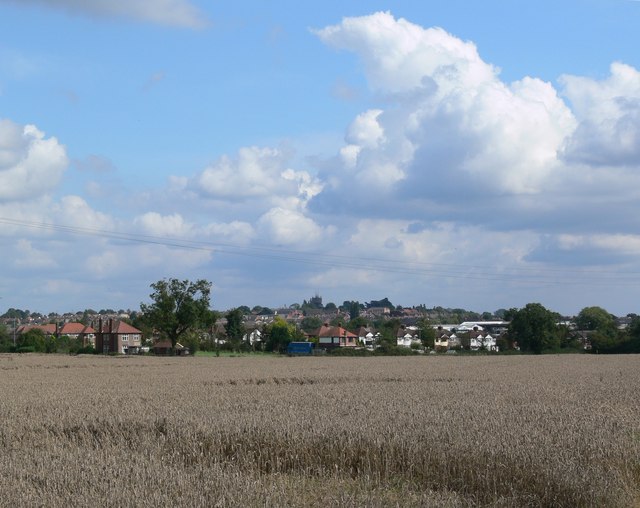
Barwell

Barwell is a civil parish and large village in Leicestershire, England, with a population of 8,750 residents, Increasing to 9,022 at the 2011 census, the...

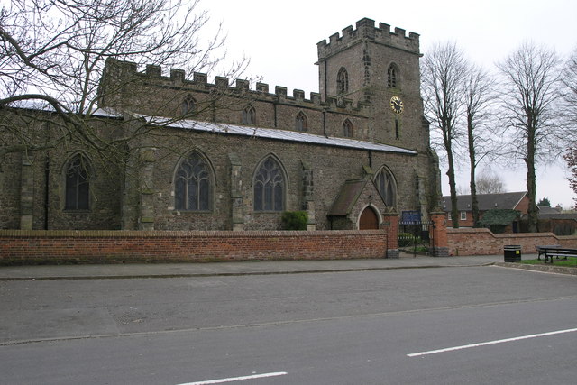
St Mary's Church, Barwell

St Mary's Church is a church in Barwell, Leicestershire. It is a Grade I listed building. == History == The church dates back to circa 1300–50. It consists...

Nearby Amenities

Located within 500m of 52.568596,-1.329911
Crossing
Lat/Long: 52.5711489/-1.3292606
Mini Roundabout
Direction: clockwise
Lat/Long: 52.5705338/-1.3304726
Bus Stop
Chesterfield Way
Bus: yes
Naptan AtcoCode: 260010389
Naptan Bearing: W
Naptan CommonName: Chesterfield Way
Naptan Indicator: opposite
Naptan Landmark: Chesterfield Way
Naptan NaptanCode: leijamgd
Naptan Notes: Hourly - County
Naptan Street: Shilton Road
Naptan Verified: no
Public Transport: platform
Source: naptan_import
Lat/Long: 52.5698443/-1.3339593
Bus Stop
Belle Vue Road
Bus: yes
Naptan AtcoCode: 260010608
Naptan Bearing: SW
Naptan CommonName: Belle Vue Road
Naptan Indicator: opposite
Naptan Landmark: Belle Vue Road
Naptan NaptanCode: leijamtd
Naptan Notes: Hourly - County
Naptan Street: Hinckley Road
Naptan Verified: no
Public Transport: platform
Shelter: yes
Source: naptan_import
Lat/Long: 52.5709519/-1.3295012
Bus Stop
Belle Vue Road
Bus: yes
Naptan AtcoCode: 260010609
Naptan Bearing: NE
Naptan CommonName: Belle Vue Road
Naptan Indicator: adjacent
Naptan Landmark: Belle Vue Road
Naptan NaptanCode: leijamtg
Naptan Notes: Hourly - County
Naptan Street: Hinckley Road
Naptan Verified: no
Public Transport: platform
Shelter: yes
Source: naptan_import
Lat/Long: 52.5706597/-1.3303024
Bus Stop
Field Way
Bus: yes
Naptan AtcoCode: 260010610
Naptan Bearing: NE
Naptan CommonName: Field Way
Naptan Indicator: adjacent
Naptan Landmark: Field Way
Naptan NaptanCode: leijamtj
Naptan Notes: Hourly - County
Naptan Street: Hinckley Road
Naptan Verified: no
Public Transport: platform
Source: naptan_import
Lat/Long: 52.5725637/-1.326791
Bus Stop
Elmdale Road
Bus: yes
Naptan AtcoCode: 260010629
Naptan Bearing: SE
Naptan CommonName: Elmdale Road
Naptan Indicator: between
Naptan Landmark: 58 and 58
Naptan NaptanCode: leijapdg
Naptan Notes: Hourly - County
Naptan Street: Elmdale Road
Naptan Verified: no
Public Transport: platform
Source: naptan_import
Lat/Long: 52.5689411/-1.326876
Bus Stop
Elmdale Road
Bus: yes
Naptan AtcoCode: 260010630
Naptan Bearing: NW
Naptan CommonName: Elmdale Road
Naptan Indicator: opposite
Naptan Landmark: 56-58
Naptan NaptanCode: leijapdj
Naptan Notes: Hourly - County
Naptan Street: Elmdale Road
Naptan Verified: no
Public Transport: platform
Source: naptan_import
Lat/Long: 52.5689054/-1.3269208
Bus Stop
Cedar Road
Bus: yes
Naptan AtcoCode: 260010631
Naptan Bearing: E
Naptan CommonName: Cedar Road
Naptan Indicator: outside
Naptan Landmark: 83/85
Naptan NaptanCode: leijapdm
Naptan Notes: Hourly - County
Naptan Street: Cedar Road
Naptan Verified: no
Public Transport: platform
Source: naptan_import
Lat/Long: 52.5691739/-1.3251314
Bus Stop
Cedar Road
Bus: yes
Naptan AtcoCode: 260010632
Naptan Bearing: W
Naptan CommonName: Cedar Road
Naptan Indicator: outside
Naptan Landmark: 142
Naptan NaptanCode: leijapdp
Naptan Notes: Hourly - County
Naptan Street: Cedar Road
Naptan Verified: no
Public Transport: platform
Source: naptan_import
Lat/Long: 52.5690457/-1.3247055
Bus Stop
Elmesthorpe Lane
Bus: yes
Naptan AtcoCode: 260010654
Naptan Bearing: NE
Naptan CommonName: Elmesthorpe Lane
Naptan Indicator: side of
Naptan Landmark: 37 Elmesthorpe Lane
Naptan NaptanCode: leijapmp
Naptan Notes: Hourly - County
Naptan Street: Coronation Road
Naptan Verified: no
Public Transport: platform
Source: naptan_import
Lat/Long: 52.5682875/-1.3289221
Bus Stop
Chesterfield Way
Bus: yes
Naptan AtcoCode: 260010907
Naptan Bearing: E
Naptan CommonName: Chesterfield Way
Naptan Indicator: adjacent
Naptan Landmark: Chesterfield Way
Naptan NaptanCode: leijatgd
Naptan Notes: Hourly - County
Naptan Street: Shilton Road
Naptan Verified: no
Public Transport: platform
Source: naptan_import
Lat/Long: 52.5699641/-1.3344886
Bus Stop
The Cedars
Bus: yes
Naptan AtcoCode: 260010908
Naptan Bearing: W
Naptan CommonName: The Cedars
Naptan Indicator: outside
Naptan Landmark: 138 'The Cedars'
Naptan NaptanCode: leijatgj
Naptan Notes: Hourly - County
Naptan Street: Shilton Road
Naptan Verified: no
Public Transport: platform
Source: naptan_import
Lat/Long: 52.5695234/-1.3360593
Mini Roundabout
Direction: clockwise
Source: bing
Lat/Long: 52.5720062/-1.327648
Turning Circle
Lat/Long: 52.5663448/-1.3252599
Bus Stop
Bus: yes
Public Transport: platform
Lat/Long: 52.5692303/-1.3368178
Post Box
Collection Times: Mo-Fr 09:00; Sa 07:00
Post Box Type: pillar
Ref: LE9 580
Royal Cypher: EVIIIR
Royal Cypher Wikidata: Q33102195
Lat/Long: 52.5718738/-1.3271706
Leisure: playground
Lat/Long: 52.5676744/-1.3240316
Generator Method: photovoltaic
Generator Output Electricity: yes
Generator Source: solar
Generator Type: solar_photovoltaic_panel
Location: roof
Power: generator
Lat/Long: 52.5715638/-1.3247714
Generator Method: photovoltaic
Generator Output Electricity: yes
Generator Source: solar
Generator Type: solar_photovoltaic_panel
Location: roof
Power: generator
Lat/Long: 52.5680881/-1.3228885
Generator Method: photovoltaic
Generator Output Electricity: yes
Generator Source: solar
Generator Type: solar_photovoltaic_panel
Location: roof
Power: generator
Lat/Long: 52.5692212/-1.3248144
Generator Method: photovoltaic
Generator Output Electricity: yes
Generator Source: solar
Generator Type: solar_photovoltaic_panel
Location: roof
Power: generator
Lat/Long: 52.5705759/-1.3297657
Generator Method: photovoltaic
Generator Output Electricity: yes
Generator Source: solar
Generator Type: solar_photovoltaic_panel
Location: roof
Power: generator
Lat/Long: 52.5700363/-1.3299857
The data included in this document is from www.openstreetmap.org. The data is made available under ODbL.

Have you been to Carrs Hill?

Leave your review of Carrs Hill below (or comments, questions and feedback).