Coney Garth Hill
Hill, Mountain in Yorkshire Harrogate
England
Coney Garth Hill
Coney Garth Hill is a prominent geographical feature located in the county of Yorkshire, England. Standing at an elevation of approximately 1,145 feet (350 meters), it is classified as a hill rather than a mountain. The hill is situated within the picturesque North York Moors National Park, which is renowned for its stunning landscapes and diverse wildlife.
Coney Garth Hill offers breathtaking panoramic views of the surrounding countryside, characterized by rolling hills, verdant valleys, and picturesque villages. Its prominent position makes it a popular destination for hikers, nature enthusiasts, and those seeking to immerse themselves in the beauty of the Yorkshire countryside.
The hill is covered in heather moorland, which blooms with vibrant hues of purple during the summer months, adding to its visual appeal. Its slopes are home to a variety of flora and fauna, including rare bird species, such as the curlew and lapwing.
Access to Coney Garth Hill is relatively easy, with several footpaths and trails leading to its summit. The most popular route starts from the nearby village of Rosedale Abbey, which provides ample parking facilities. The ascent can be challenging in parts, but the rewarding views from the top make it worthwhile.
Coney Garth Hill is not only a natural landmark but also holds historical significance. In the past, it was used as a vantage point for signaling during the English Civil War. Today, it stands as a testament to the region's rich natural heritage and offers an unforgettable experience for visitors who venture to its summit.
If you have any feedback on the listing, please let us know in the comments section below.
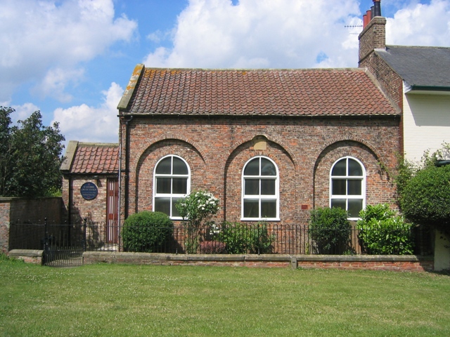
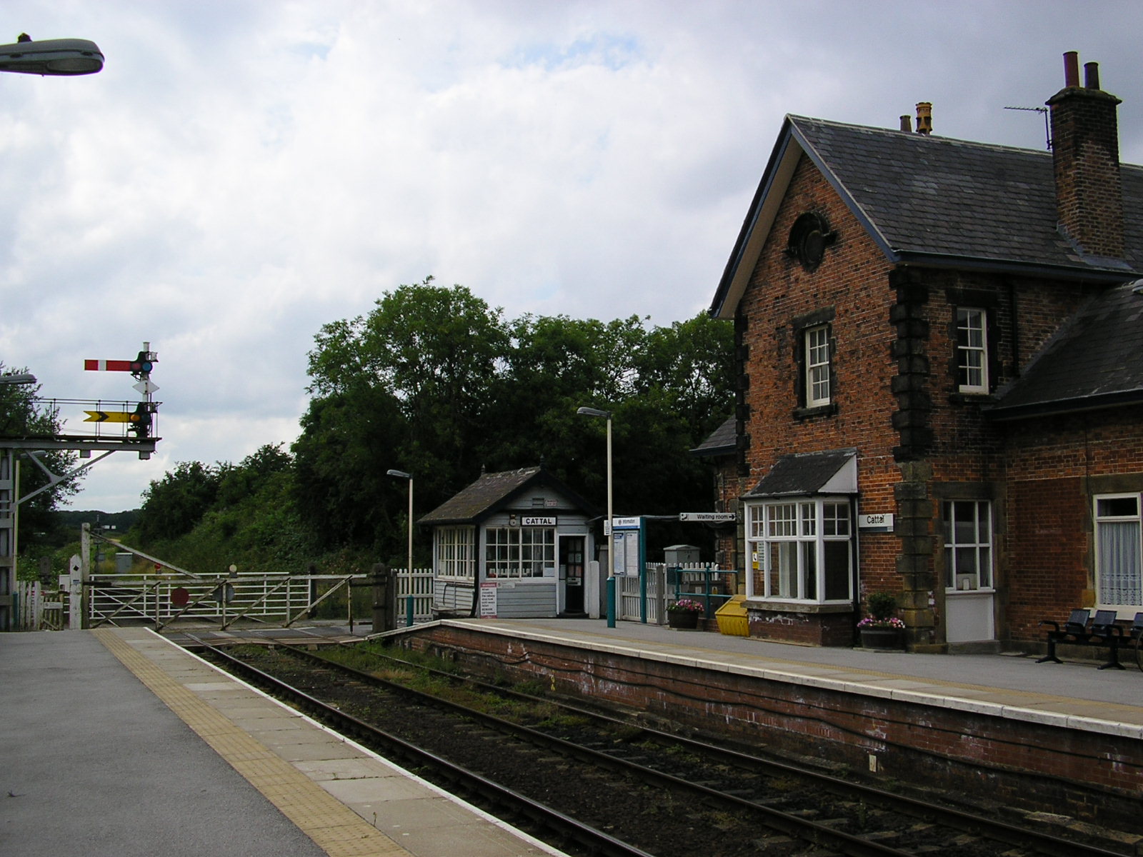
Coney Garth Hill Images
Images are sourced within 2km of 54.00023/-1.3072325 or Grid Reference SE4556. Thanks to Geograph Open Source API. All images are credited.


Coney Garth Hill is located at Grid Ref: SE4556 (Lat: 54.00023, Lng: -1.3072325)
Division: West Riding
Administrative County: North Yorkshire
District: Harrogate
Police Authority: North Yorkshire
What 3 Words
///sleeps.jumbo.bronzed. Near Linton upon Ouse, North Yorkshire
Nearby Locations
Related Wikis

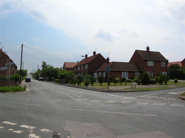
Green Hammerton
Green Hammerton is a village and civil parish in the Harrogate district of North Yorkshire, England. It is situated on the A59 road, 8 miles (13 km) west...

Cattal railway station
Cattal is a railway station on the Harrogate Line, which runs between Leeds and York via Harrogate. The station, situated 10+1⁄2 miles (17 km) west of...

Maltkiln
Maltkiln is a proposed new village development centred around Cattal railway station in North Yorkshire, England. The development is just south of the...
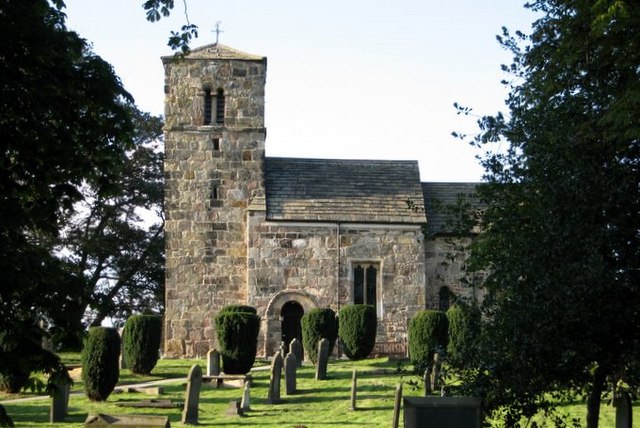
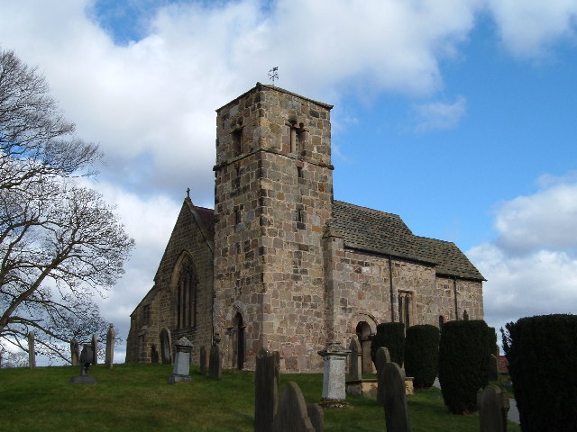
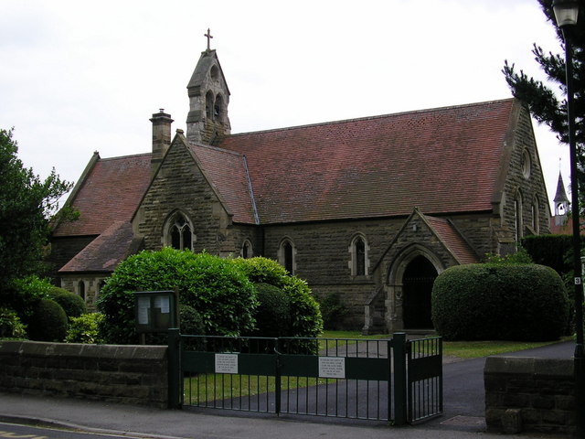
St John the Baptist Church, Kirk Hammerton
St John the Baptist Church, Kirk Hammerton is a Grade I listed Church of England church located in the village of Kirk Hammerton, North Yorkshire, England...
Kirk Hammerton
Kirk Hammerton is a village and civil parish in the Harrogate district of North Yorkshire, England. It is near the River Nidd and the A59 road, 10 miles...

Whixley
Whixley is a village and civil parish in the Harrogate district of North Yorkshire, England. It is near the A1(M) motorway and 10 miles (16 km) west of...

Hammerton railway station
Hammerton is a railway station on the Harrogate Line, which runs between Leeds and York via Harrogate. The station, situated 8+3⁄4 miles (14 km) west of...
Cattal
Cattal is a village and civil parish in the Borough of Harrogate district of North Yorkshire, England, about 6 miles (9.7 km) east of Knaresborough, and...
Nearby Amenities
Located within 500m of 54.00023,-1.3072325Have you been to Coney Garth Hill?
Leave your review of Coney Garth Hill below (or comments, questions and feedback).