Brown Moor
Downs, Moorland in Yorkshire Harrogate
England
Brown Moor
Brown Moor is a picturesque expanse of moorland located in the county of Yorkshire, England. Nestled within the Yorkshire Dales National Park, it is a stunning natural landscape characterized by its rolling hills, expansive heather moors, and scattered woodlands. The moor stretches across a vast area, covering approximately 15 square miles.
The moorland is known for its rich biodiversity, with a variety of plant and animal species thriving in this unique habitat. Visitors can expect to encounter an array of wildlife, including birds of prey such as kestrels, buzzards, and peregrine falcons, as well as grouse and curlews. The moorland is also home to several species of reptiles, including adders and common lizards.
In addition to its diverse wildlife, Brown Moor offers breathtaking views that attract outdoor enthusiasts and nature lovers alike. The landscape is dotted with walking trails and footpaths, providing ample opportunities for hikers and ramblers to explore the area. The moorland is particularly popular among birdwatchers, who come to observe the numerous bird species that inhabit this region.
The history of Brown Moor is also of great interest, with evidence of human habitation dating back thousands of years. Archaeological sites, including ancient burial mounds and stone circles, highlight the area's historical significance.
Overall, Brown Moor in Yorkshire offers a captivating blend of natural beauty, wildlife, and historical intrigue. It is a place where visitors can immerse themselves in the tranquility of the moorland, while also appreciating the rich tapestry of nature and heritage that this remarkable landscape has to offer.
If you have any feedback on the listing, please let us know in the comments section below.
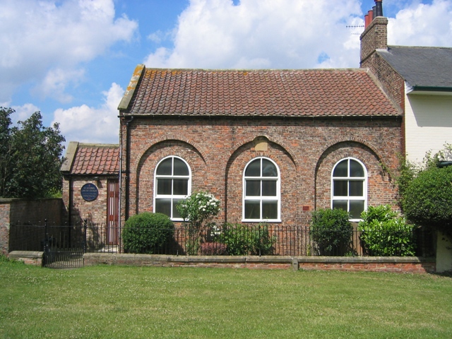
Brown Moor Images
Images are sourced within 2km of 54.000359/-1.306315 or Grid Reference SE4556. Thanks to Geograph Open Source API. All images are credited.


Brown Moor is located at Grid Ref: SE4556 (Lat: 54.000359, Lng: -1.306315)
Division: West Riding
Administrative County: North Yorkshire
District: Harrogate
Police Authority: North Yorkshire
What 3 Words
///daring.brilliant.stripped. Near Linton upon Ouse, North Yorkshire
Nearby Locations
Related Wikis

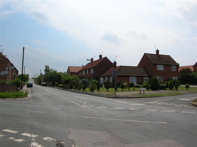
Green Hammerton
Green Hammerton is a village and civil parish in the Harrogate district of North Yorkshire, England. It is situated on the A59 road, 8 miles (13 km) west...

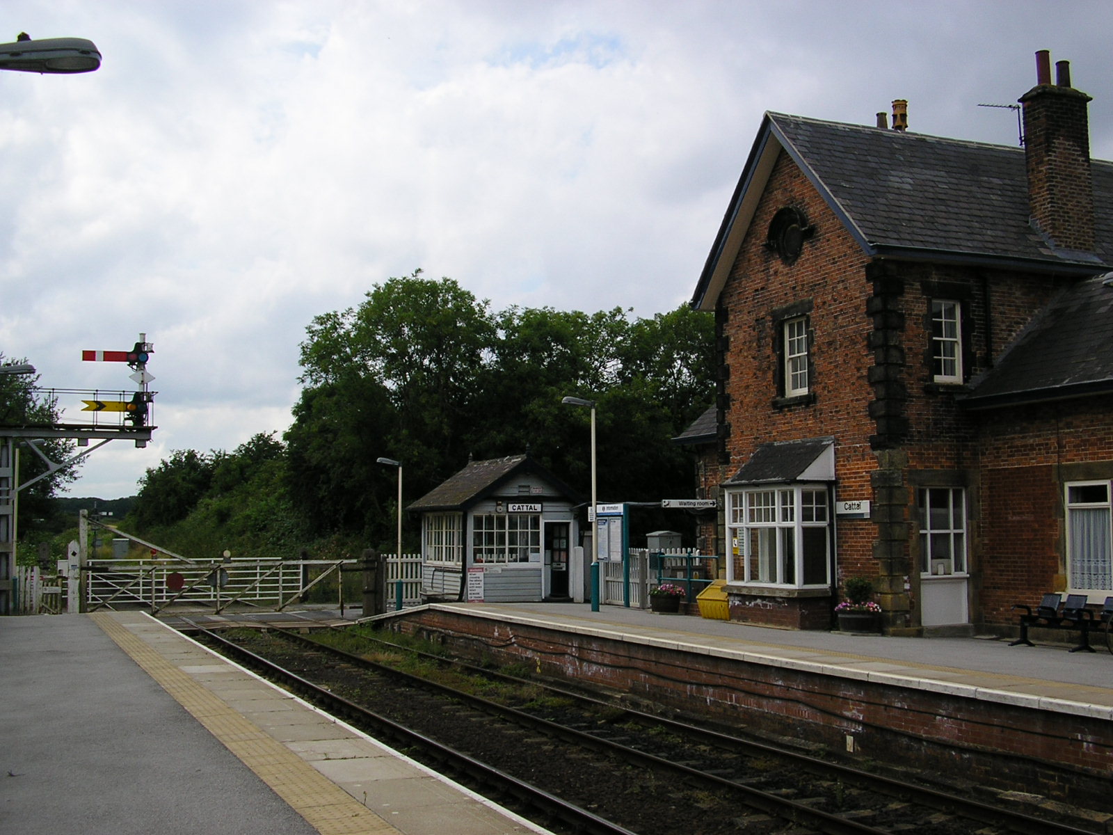
Cattal railway station
Cattal is a railway station on the Harrogate Line, which runs between Leeds and York via Harrogate. The station, situated 10+1⁄2 miles (17 km) west of...

Maltkiln
Maltkiln is a proposed new village development centred around Cattal railway station in North Yorkshire, England. The development is just south of the...
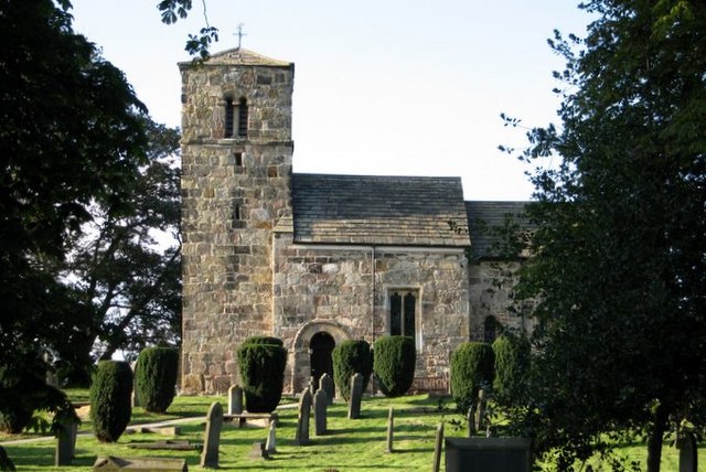
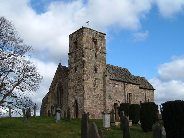
St John the Baptist Church, Kirk Hammerton
St John the Baptist Church, Kirk Hammerton is a Grade I listed Church of England church located in the village of Kirk Hammerton, North Yorkshire, England...
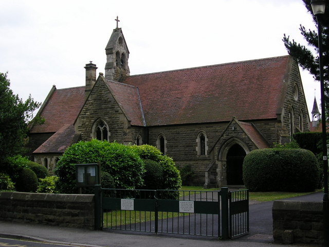
Kirk Hammerton
Kirk Hammerton is a village and civil parish in the Harrogate district of North Yorkshire, England. It is near the River Nidd and the A59 road, 10 miles...

Whixley
Whixley is a village and civil parish in the Harrogate district of North Yorkshire, England. It is near the A1(M) motorway and 10 miles (16 km) west of...

Hammerton railway station
Hammerton is a railway station on the Harrogate Line, which runs between Leeds and York via Harrogate. The station, situated 8+3⁄4 miles (14 km) west of...
Cattal
Cattal is a village and civil parish in the Borough of Harrogate district of North Yorkshire, England, about 6 miles (9.7 km) east of Knaresborough, and...
Nearby Amenities
Located within 500m of 54.000359,-1.306315Have you been to Brown Moor?
Leave your review of Brown Moor below (or comments, questions and feedback).