Edgworth Moor
Settlement in Lancashire
England
Edgworth Moor
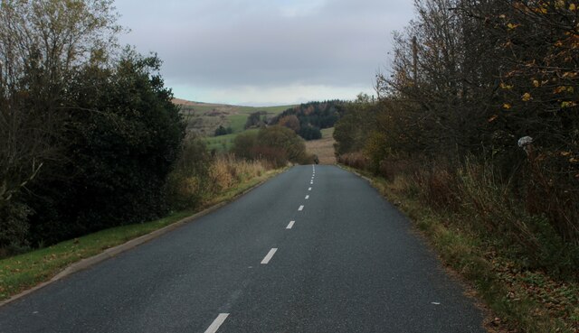
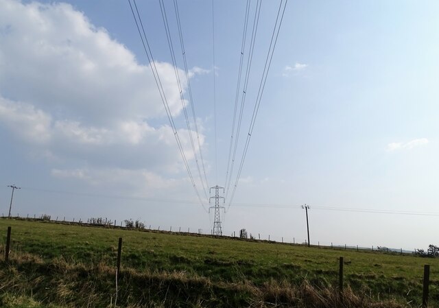
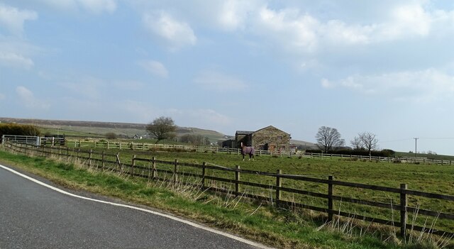
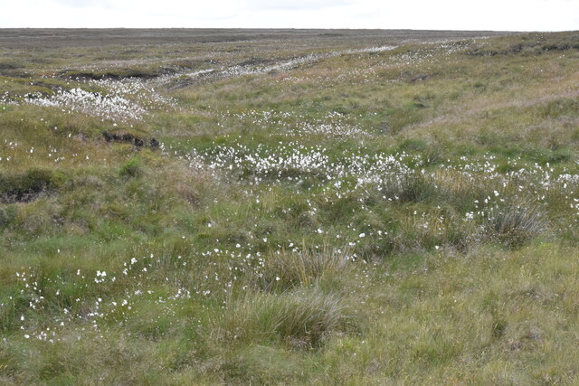
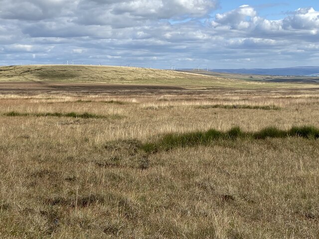
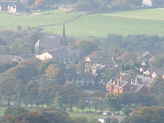
Edgworth Moor is a picturesque area located in the county of Lancashire, England. Situated in the West Pennine Moors, it covers an expansive stretch of rugged moorland, heather-clad hills, and pristine reservoirs. The moor lies within the boundaries of the village of Edgworth, which is approximately 12 miles north of the city of Manchester.
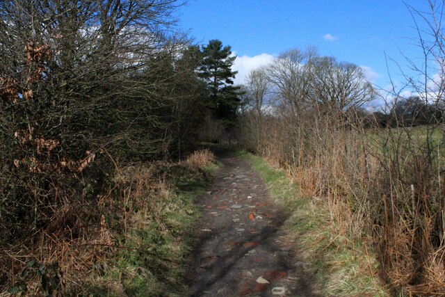
Known for its natural beauty and tranquility, Edgworth Moor offers visitors a chance to escape the bustling urban environment and immerse themselves in the stunning countryside. The landscape is characterized by vast open spaces, rolling hills, and meandering footpaths, making it a popular destination for hikers, walkers, and nature enthusiasts.
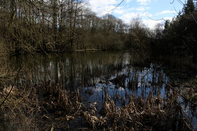
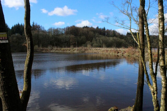
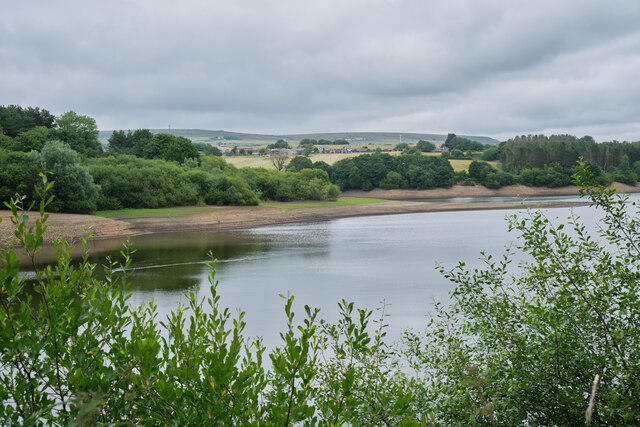
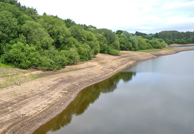
The moor is home to a variety of wildlife, including birds of prey such as peregrine falcons and kestrels, as well as several species of rare plants and flowers. The area also encompasses a number of reservoirs, such as the Wayoh Reservoir and the Entwistle Reservoir, which provide scenic views and opportunities for fishing and boating.
Historically, Edgworth Moor has played a significant role in the region's industrial past, with evidence of coal mining and textile manufacturing. Today, remnants of this industrial heritage can still be seen in the form of old mine shafts and disused mills.
Overall, Edgworth Moor is a haven for those seeking solitude and natural beauty. Whether it's a leisurely walk along its winding trails or simply admiring the breathtaking vistas, this Lancashire gem is a true testament to the region's stunning countryside.
If you have any feedback on the listing, please let us know in the comments section below.
Edgworth Moor Images
Images are sourced within 2km of 53.659918/-2.3858927 or Grid Reference SD7418. Thanks to Geograph Open Source API. All images are credited.

Edgworth Moor is located at Grid Ref: SD7418 (Lat: 53.659918, Lng: -2.3858927)
Unitary Authority: Blackburn with Darwen
Police Authority: Lancashire
What 3 Words
///shaver.bakers.quaking. Near Edgworth, Lancashire
Nearby Locations
Related Wikis

Turton F.C.
Turton Football Club is a football club based in Edgworth, in the North Turton district of Blackburn with Darwen, Lancashire, England. They are currently...
Edgworth
Edgworth is a small village within the borough of Blackburn with Darwen, Lancashire, England. It is north east of North Turton between Broadhead Brook...
Entwistle, Lancashire
Entwistle is a village in the Blackburn with Darwen unitary authority in Lancashire in the north west of England. Its name derives from the Old English...

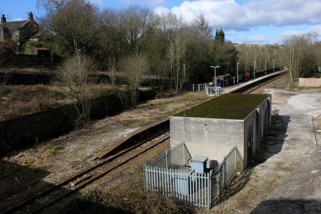
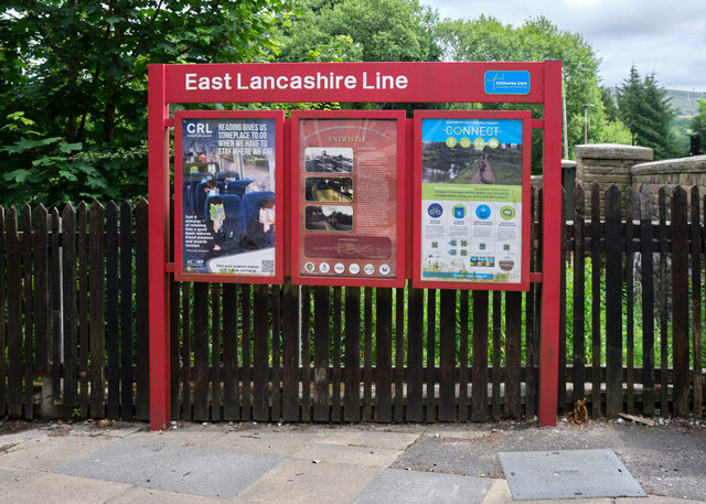
Entwistle railway station
Entwistle railway station (first opened in 1848) is 5+3⁄4 miles (9.3 km) north of Bolton and serves the village of Entwistle. It is also the closest station...
Nearby Amenities
Located within 500m of 53.659918,-2.3858927Have you been to Edgworth Moor?
Leave your review of Edgworth Moor below (or comments, questions and feedback).