Stanley Hill
Hill, Mountain in Lancashire
England
Stanley Hill
Stanley Hill is a prominent hill located in the county of Lancashire, England. Situated near the town of Blackburn, it forms part of the Pennine Range, a chain of hills and mountains that stretches across northern England. Standing at an elevation of approximately 1,200 feet (366 meters), Stanley Hill offers breathtaking panoramic views of the surrounding countryside.
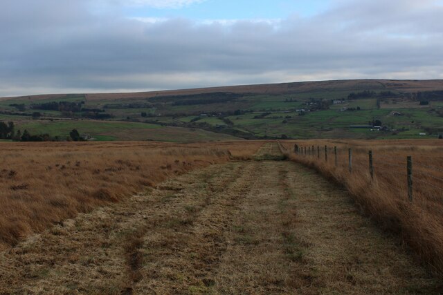
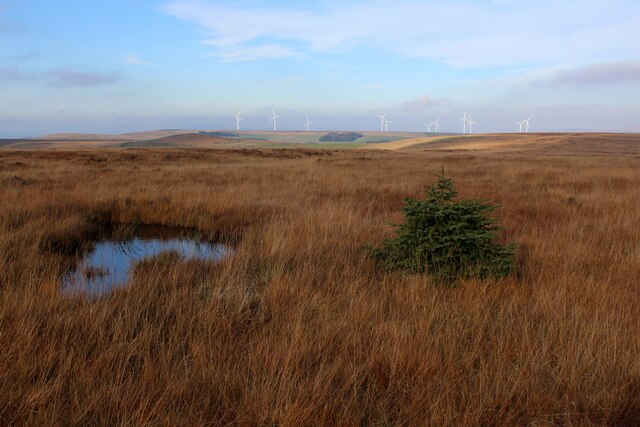
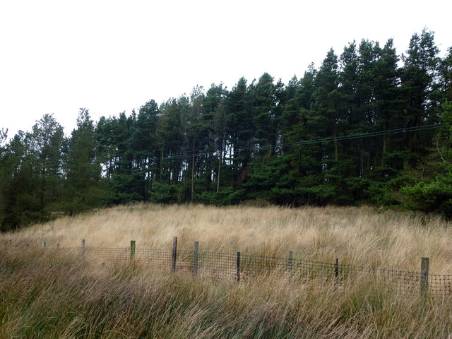
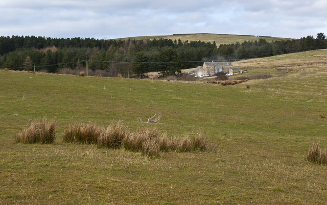
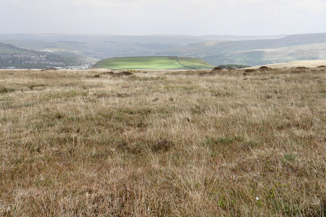
The hill is characterized by its rugged terrain, with steep slopes and rocky outcrops, making it a popular destination for hikers and outdoor enthusiasts. The ascent to the summit can be challenging, but the reward is a stunning vista that includes the rolling hills of Lancashire, the Ribble Valley, and even glimpses of the Irish Sea on clear days.
Stanley Hill is also home to a variety of flora and fauna, with heather, gorse, and grasses covering its slopes. The hill provides a habitat for a range of wildlife, including birds such as curlews, lapwings, and peregrine falcons, as well as smaller mammals like foxes and rabbits.
The hill has historical significance, with evidence of human activity dating back to the Neolithic period. Archaeological finds in the area suggest that it was once used for farming and possibly as a defensive site. Today, remnants of ancient settlements, including stone circles and burial mounds, can still be found on the hill.
Whether it is for its natural beauty, recreational opportunities, or historical significance, Stanley Hill is a notable landmark in Lancashire that attracts visitors from near and far.
If you have any feedback on the listing, please let us know in the comments section below.
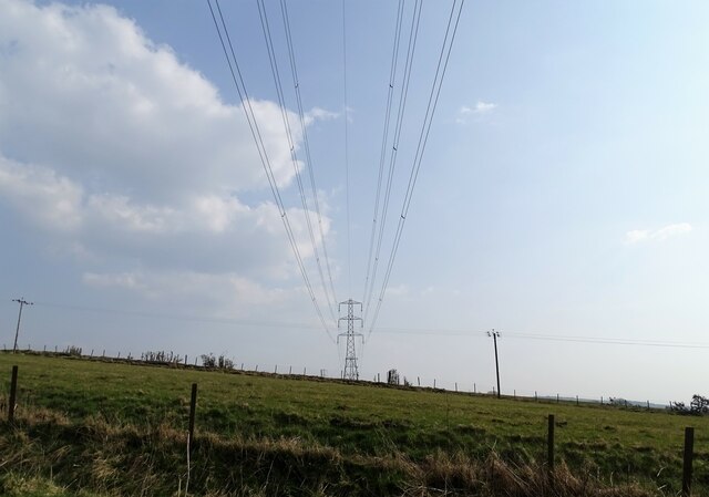
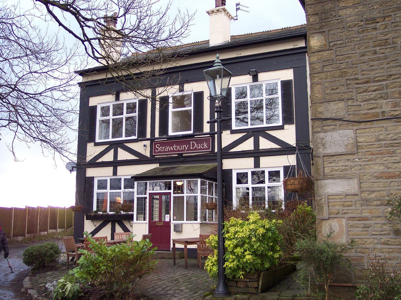
Stanley Hill Images
Images are sourced within 2km of 53.664533/-2.3900059 or Grid Reference SD7418. Thanks to Geograph Open Source API. All images are credited.


Stanley Hill is located at Grid Ref: SD7418 (Lat: 53.664533, Lng: -2.3900059)
Unitary Authority: Blackburn with Darwen
Police Authority: Lancashire
What 3 Words
///recount.ooze.dare. Near Edgworth, Lancashire
Nearby Locations
Related Wikis

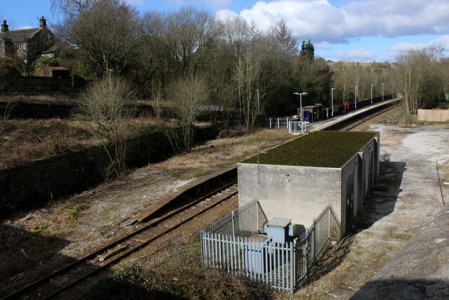
Entwistle railway station
Entwistle railway station (first opened in 1848) is 5+3⁄4 miles (9.3 km) north of Bolton and serves the village of Entwistle. It is also the closest station...
Entwistle, Lancashire
Entwistle is a village in the Blackburn with Darwen unitary authority in Lancashire in the north west of England. Its name derives from the Old English...

Turton F.C.
Turton Football Club is a football club based in Edgworth, in the North Turton district of Blackburn with Darwen, Lancashire, England. They are currently...
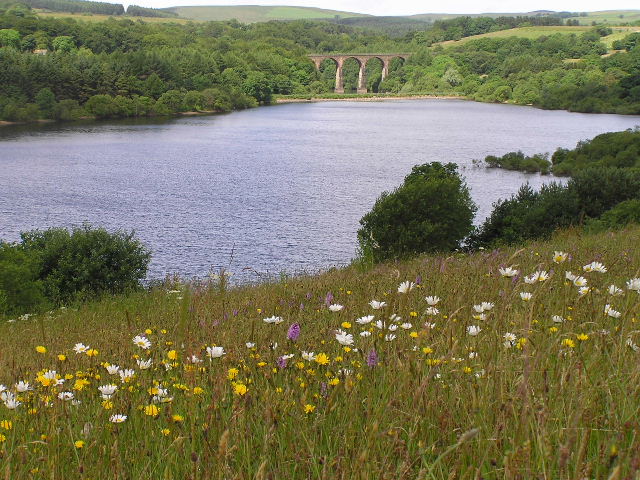
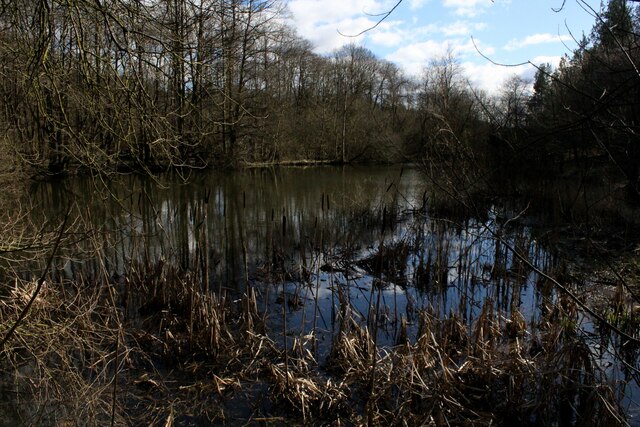
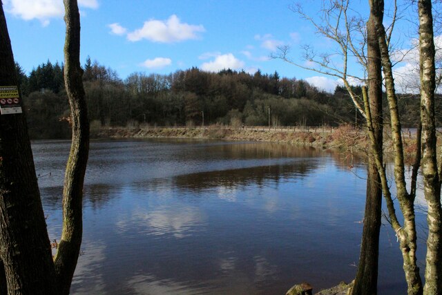
Wayoh Reservoir
Wayoh Reservoir is a water reservoir in the town of Edgworth, Lancashire, England. It was completed on 28 April 1876 to supply water to Bolton. Wayoh,...
Nearby Amenities
Located within 500m of 53.664533,-2.3900059Have you been to Stanley Hill?
Leave your review of Stanley Hill below (or comments, questions and feedback).