Edgworth Moor
Downs, Moorland in Lancashire
England
Edgworth Moor
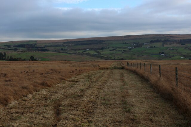
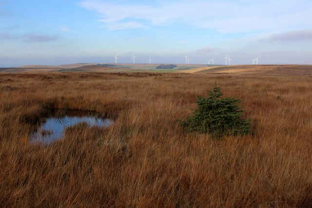
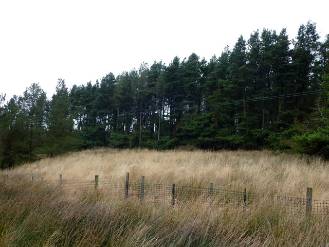
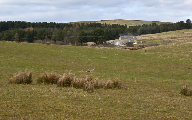
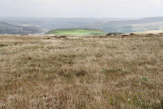
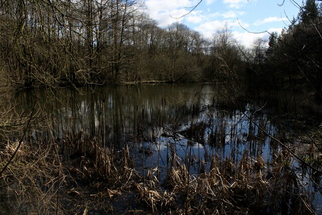
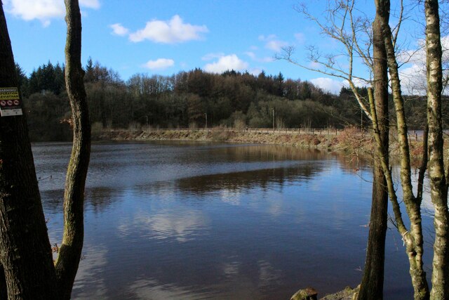
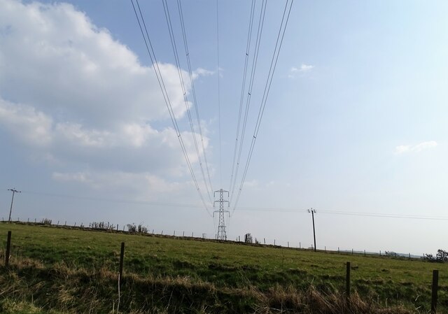
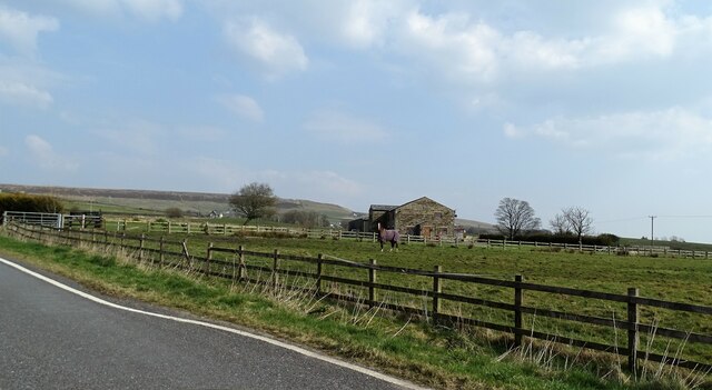
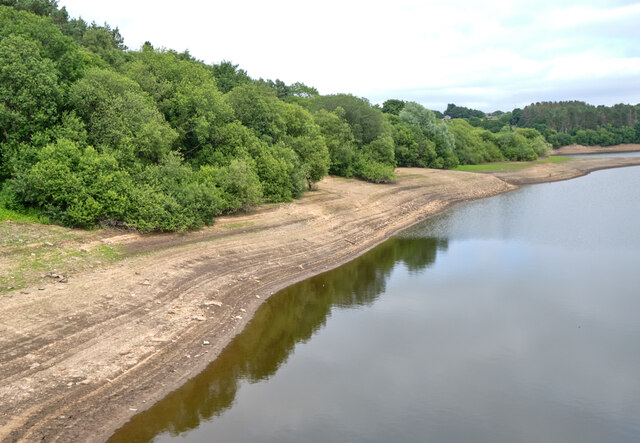
Edgworth Moor is a picturesque expanse of land located in Lancashire, England. Situated in the West Pennine Moors, it covers an area of approximately 650 acres and is known for its stunning natural beauty. The moorland is characterized by rolling hills, heather-covered slopes, and vast open spaces, offering visitors a tranquil and peaceful setting.
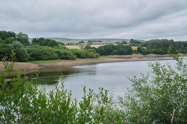
The moorland is rich in biodiversity, with a wide array of plant and animal species calling it home. The heather that blankets the landscape provides a vibrant burst of purple during the summer months, creating a stunning visual spectacle. The area is also home to various bird species, including kestrels, buzzards, and curlews, making it a haven for birdwatching enthusiasts.
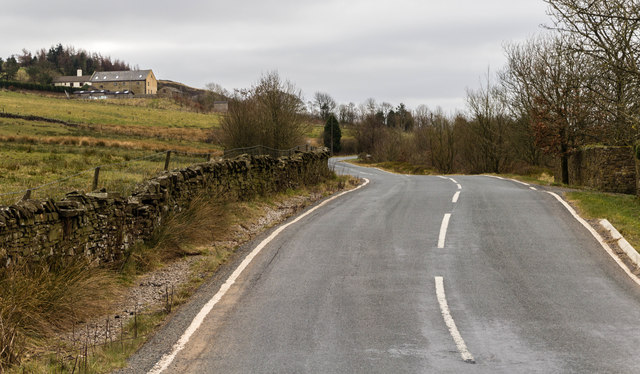
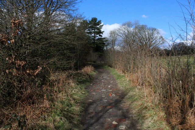
Edgworth Moor offers a range of activities for outdoor enthusiasts. There are numerous walking and hiking trails that crisscross the moorland, allowing visitors to explore its beauty at their own pace. The trails offer breathtaking views of the surrounding countryside and provide an opportunity to immerse oneself in the peacefulness of nature.
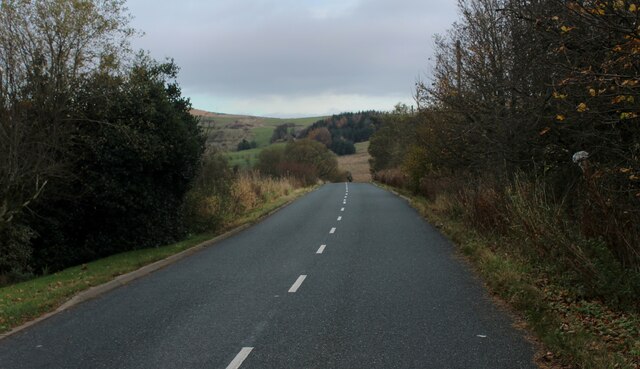
The moorland is also a popular spot for picnicking and enjoying a leisurely day out. Its wide open spaces make it an ideal location for families and friends to gather and enjoy the fresh air and stunning vistas. Additionally, Edgworth Moor is known for its accessibility, with ample parking and well-maintained paths, ensuring that visitors can easily enjoy the natural beauty it has to offer.
Overall, Edgworth Moor in Lancashire is a captivating destination that showcases the enchanting charm of the West Pennine Moors. Its idyllic landscapes and diverse wildlife make it a perfect getaway for nature lovers and those seeking a peaceful retreat.
If you have any feedback on the listing, please let us know in the comments section below.
Edgworth Moor Images
Images are sourced within 2km of 53.662831/-2.3883861 or Grid Reference SD7418. Thanks to Geograph Open Source API. All images are credited.
Edgworth Moor is located at Grid Ref: SD7418 (Lat: 53.662831, Lng: -2.3883861)
Unitary Authority: Blackburn with Darwen
Police Authority: Lancashire
What 3 Words
///hypnotist.served.skin. Near Edgworth, Lancashire
Nearby Locations
Related Wikis
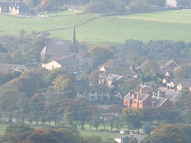
Entwistle, Lancashire
Entwistle is a village in the Blackburn with Darwen unitary authority in Lancashire in the north west of England. Its name derives from the Old English...

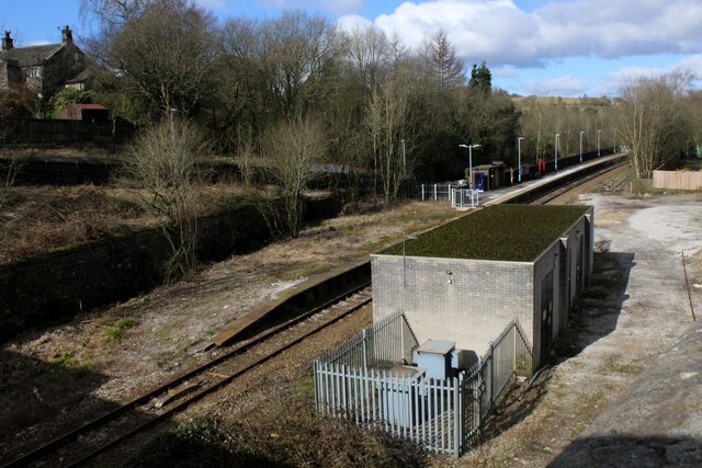
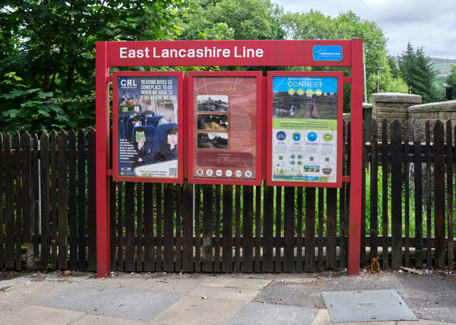
Entwistle railway station
Entwistle railway station (first opened in 1848) is 5+3⁄4 miles (9.3 km) north of Bolton and serves the village of Entwistle. It is also the closest station...

Turton F.C.
Turton Football Club is a football club based in Edgworth, in the North Turton district of Blackburn with Darwen, Lancashire, England. They are currently...
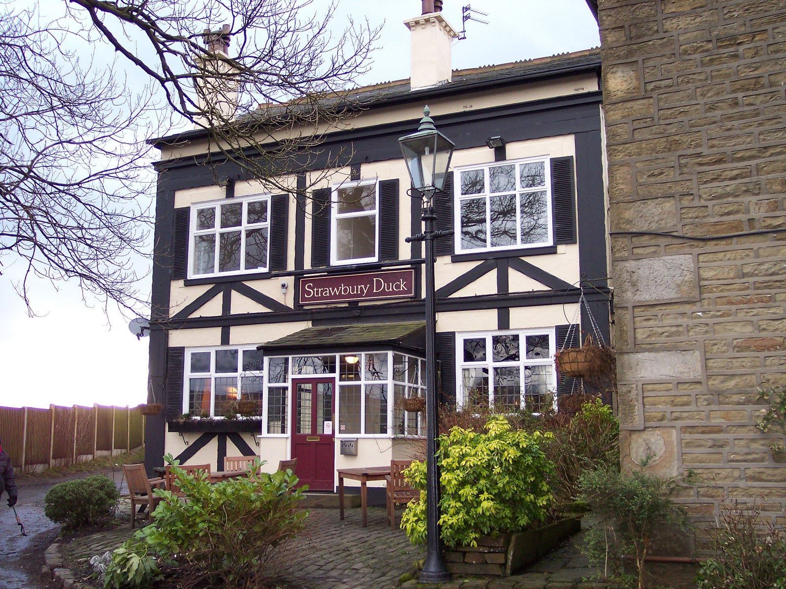
Edgworth
Edgworth is a small village within the borough of Blackburn with Darwen, Lancashire, England. It is north east of North Turton between Broadhead Brook...
Nearby Amenities
Located within 500m of 53.662831,-2.3883861Have you been to Edgworth Moor?
Leave your review of Edgworth Moor below (or comments, questions and feedback).