Edgware Bury
Settlement in Middlesex
England
Edgware Bury
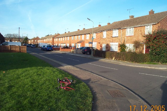
Edgware Bury is a suburban area located in the London Borough of Barnet, Middlesex, England. Situated approximately ten miles northwest of central London, it is part of Greater London and is considered a significant residential and commercial district.
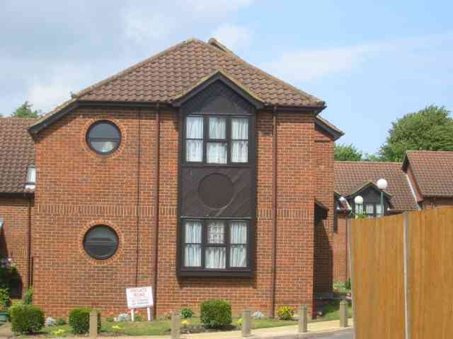
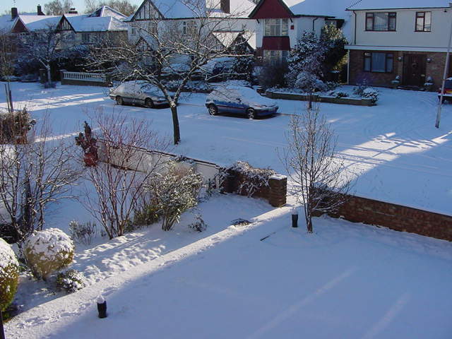
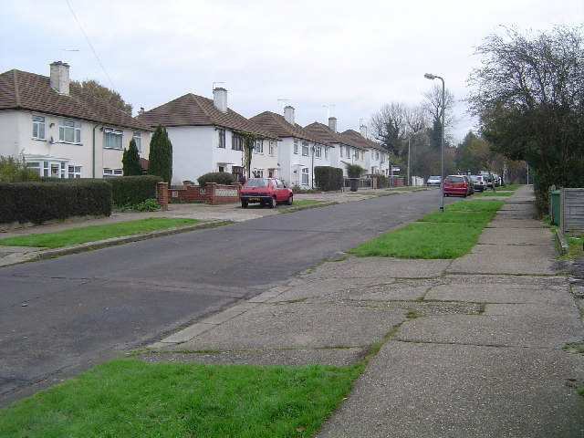
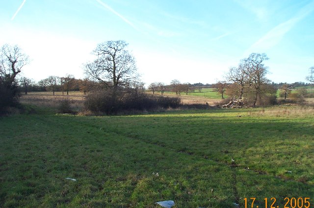
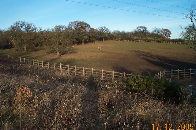
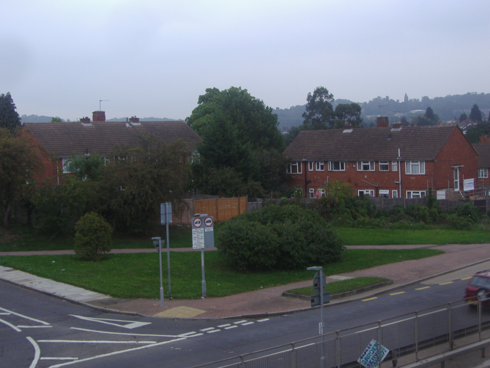
The area is characterized by its mix of housing options, ranging from Victorian and Edwardian terraces to modern apartments and detached houses. Edgware Bury benefits from its close proximity to several green spaces, including Canons Park, which provides residents with ample opportunities for outdoor activities and recreation.
One of the notable landmarks in Edgware Bury is the Royal Air Force Museum London, which houses a vast collection of aircraft and aviation-related artifacts. The museum attracts visitors from both within the United Kingdom and abroad, making it a significant cultural and historical asset for the area.
Transport links in Edgware Bury are well-developed, with Edgware Underground station providing access to the Northern Line, connecting the area to central London and other parts of the city. Additionally, there are several bus routes that serve the area, facilitating easy travel for both residents and commuters.
The local amenities in Edgware Bury include a range of shops, supermarkets, restaurants, and cafes, catering to the everyday needs of its residents. The area also benefits from a number of schools, both primary and secondary, offering a variety of educational options for families.
Overall, Edgware Bury is a vibrant and diverse area, offering a mix of residential, cultural, and commercial opportunities within easy reach of central London.
If you have any feedback on the listing, please let us know in the comments section below.
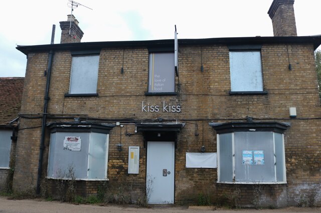
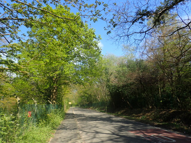
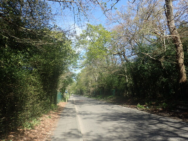
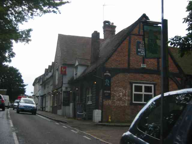
Edgware Bury Images
Images are sourced within 2km of 51.633504/-0.28155858 or Grid Reference TQ1994. Thanks to Geograph Open Source API. All images are credited.


Edgware Bury is located at Grid Ref: TQ1994 (Lat: 51.633504, Lng: -0.28155858)
Unitary Authority: Barnet
Police Authority: Metropolitan
What 3 Words
///stores.fortunate.washed. Near Elstree, Hertfordshire
Nearby Locations
Related Wikis
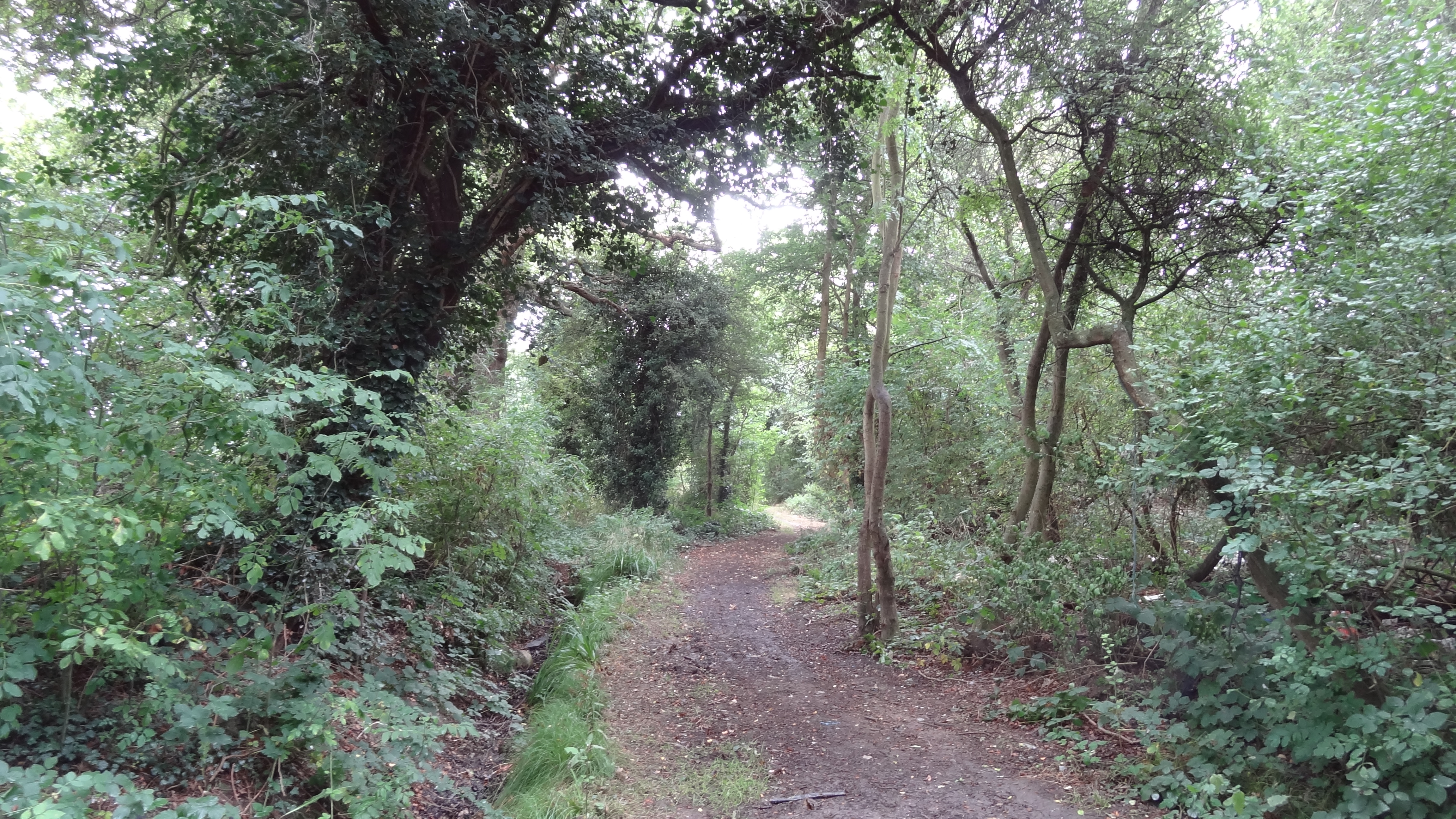
Clay Lane
Clay Lane is a one kilometre long public footpath and bridle way in Edgware in the London Borough of Barnet. It is a Site of Local Importance for Nature...
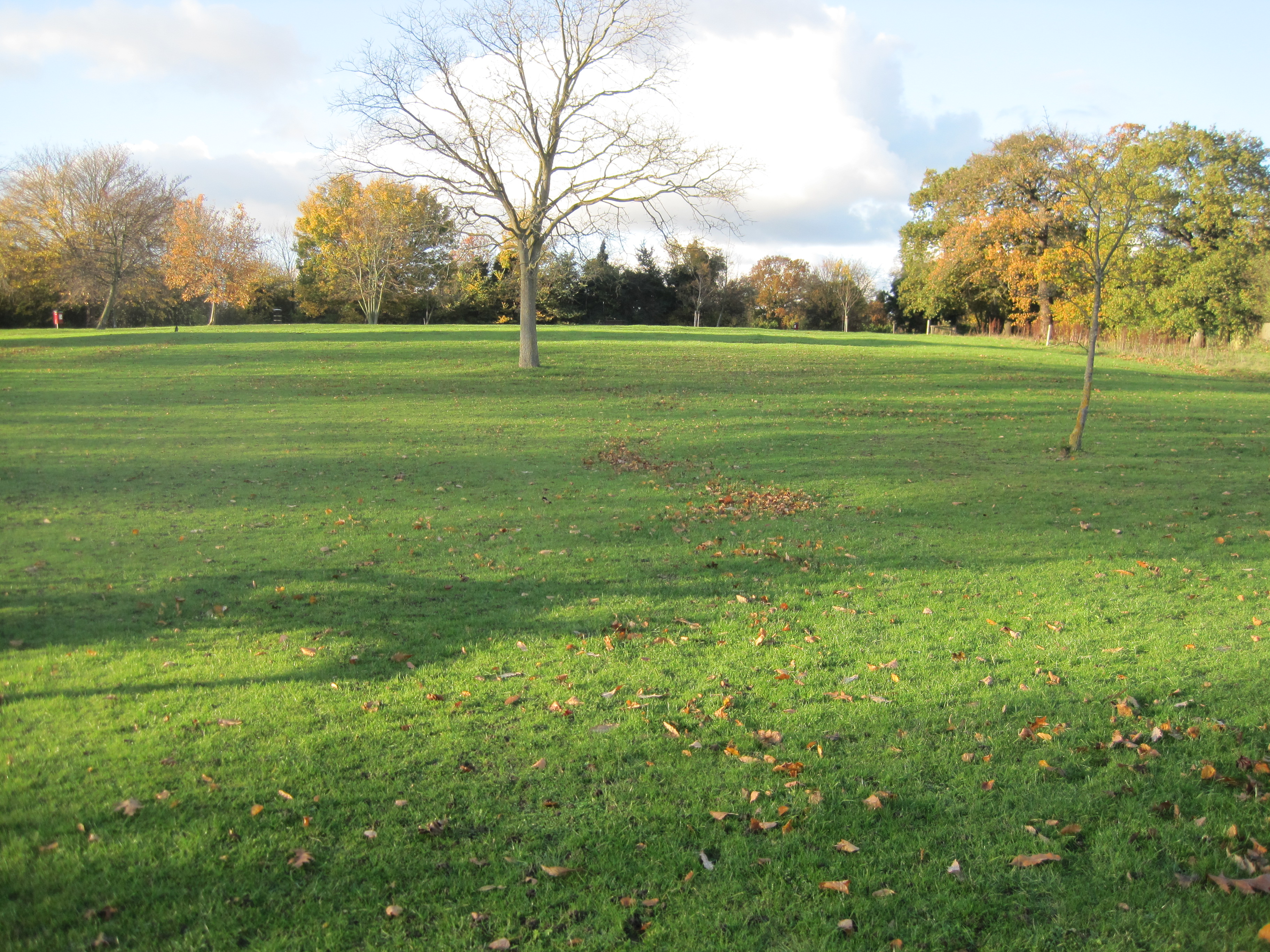
Edgwarebury Park
Edgwarebury Park is a 22-hectare park in Edgware in the London Borough of Barnet. It was once part of the manor of Earlsbury, which was first mentioned...
Broadfields Estate
Broadfields or the Broadfields Estate is a neighbourhood of Edgware in the London Borough of Barnet in northwest London, UK. == History and geography... ==

The Leys, Elstree
The Leys in Barnet Lane, Elstree, Hertfordshire, is an architecturally notable house that is grade II* listed with Historic England. == References ==
Related Videos
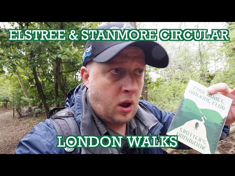
Elstree and Stanmore Circular | London Walks | Cool Dudes Walking Club
A circular walk around Elstree and Stanmore, taking in Aldenham Reservoir, Wood Farm London viewpoint and Pear Wood.

MILL HILL | London Walking Tour | 4K 60FPS
Virtual Walking Tour of MIll HIll in the London borough of Barnet. Filmed in 4K 60FPS.

London Savile Row Walking Tour | Huntsman v Henry Poole v Anderson & Sheppard House Style Comparison
Shop Kirby Allison: https://www.kirbyallison.com Subscribe: https://www.youtube.com/kirbyallison #KirbyAllison #MyTailor ...

Walking in the Park which in Borehamwood/London
Walking in the park: paddle, mud, twit no music.
Nearby Amenities
Located within 500m of 51.633504,-0.28155858Have you been to Edgware Bury?
Leave your review of Edgware Bury below (or comments, questions and feedback).