Demondale
Settlement in Angus
Scotland
Demondale
Demondale is a small village located in the Angus region of Scotland. Situated in the eastern part of the country, Demondale is nestled amidst rolling hills and picturesque landscapes, offering its residents and visitors a tranquil and scenic environment. The village is part of the wider Angus council area and is surrounded by other charming communities.
With a population of around 500 people, Demondale maintains a close-knit community feel, where neighbors often know one another. The village is primarily residential, with a scattering of local businesses and amenities serving the needs of the residents. These include a small grocery store, a post office, a primary school, and a few local shops and cafes.
The history of Demondale dates back many centuries, with evidence of settlements in the area dating as far back as the Roman era. The village itself has a rich agricultural heritage, with farming playing a significant role in the local economy. The surrounding countryside is dotted with farms, which cultivate crops and rear livestock.
Demondale offers an array of recreational opportunities for both residents and visitors. The picturesque countryside provides ample opportunities for hiking, cycling, and nature walks, allowing individuals to explore the beauty of the Angus region. Additionally, the village is within close proximity to several historical sites and attractions, including ancient castles and ruins, which attract tourists from near and far.
Overall, Demondale is a charming village that offers a peaceful and idyllic setting, making it an appealing place to live or visit for those seeking a slower pace of life and a connection to Scotland's rich history and natural beauty.
If you have any feedback on the listing, please let us know in the comments section below.
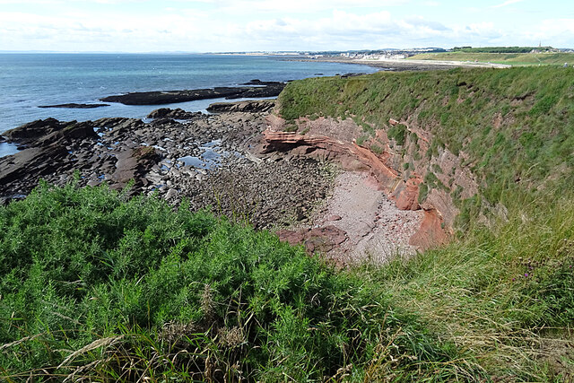
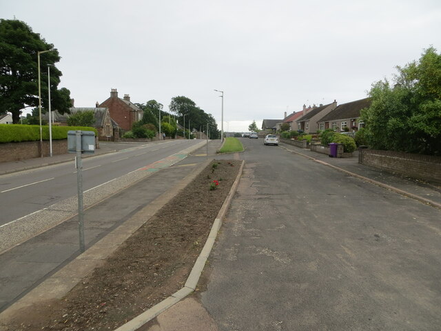
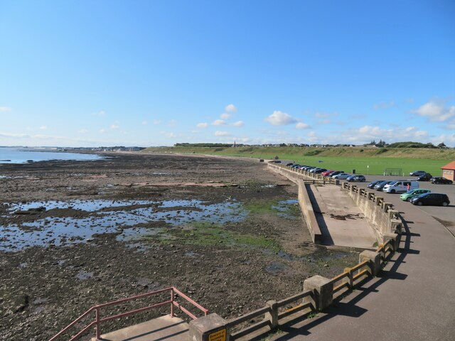
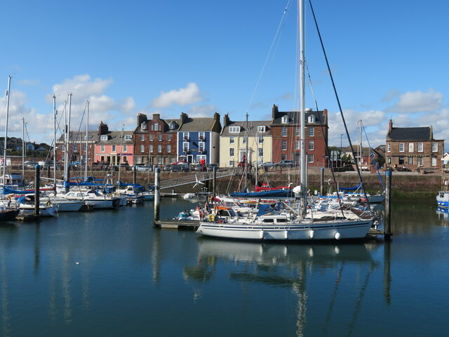
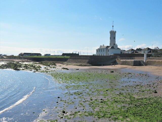
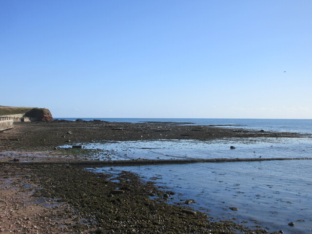
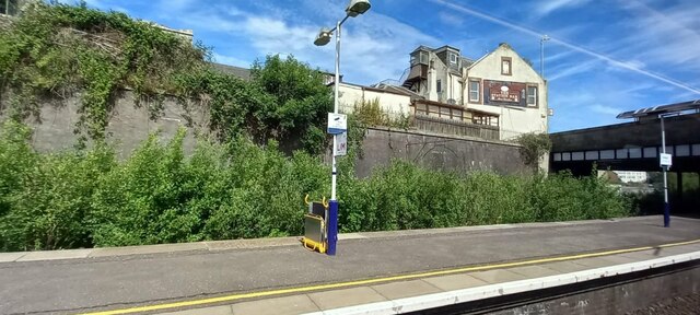
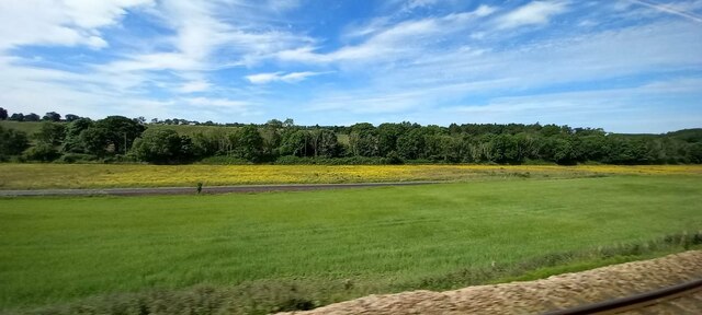
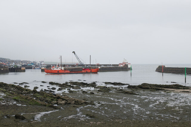
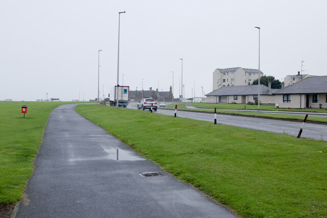
Demondale Images
Images are sourced within 2km of 56.566601/-2.5845006 or Grid Reference NO6441. Thanks to Geograph Open Source API. All images are credited.
![Westhaven memorial by the harbour The Westhaven was an Arbroath fishing boat that was lost at sea on 10th March 1997 with the loss of four crew. The circumstances were not associated with bad weather, but because fishing gear had become trapped in an underwater obstacle [a pipeline] and the boat capsized.](https://s2.geograph.org.uk/geophotos/06/97/10/6971010_36354498.jpg)
![Gayfield Park Home of Arbroath Football Club, known as the &#039;Red Lichties&#039; [whatever that means]. The club appear to be on the up and in the current 2021-22 season are playing in the Scottish Championship alongside such clubs as Inverness and Kilmarnock. The ground capacity is 6600 of which there are just 861 seats.](https://s1.geograph.org.uk/geophotos/06/97/10/6971021_f47514b2.jpg)
Demondale is located at Grid Ref: NO6441 (Lat: 56.566601, Lng: -2.5845006)
Unitary Authority: Angus
Police Authority: Tayside
What 3 Words
///chefs.ages.scared. Near Arbroath, Angus
Nearby Locations
Related Wikis

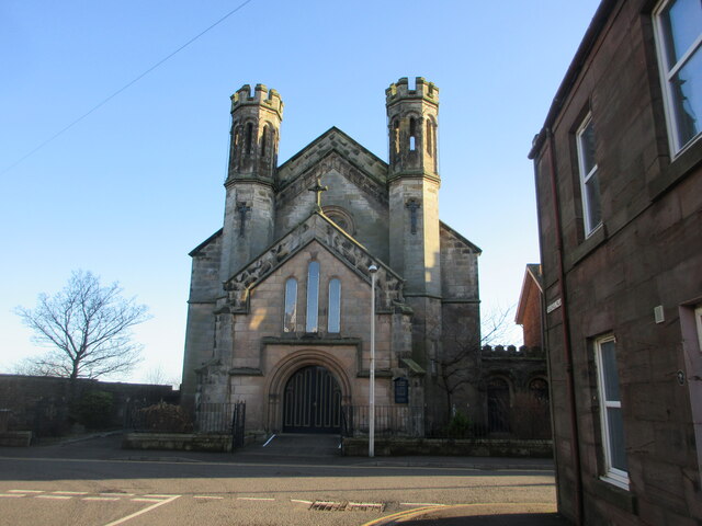
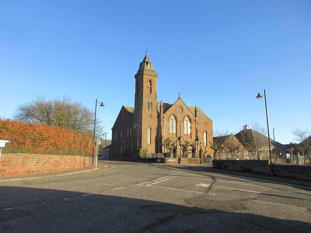
St Andrew's Parish Church, Arbroath
St Andrew's Parish Church is a congregation of the Church of Scotland located in Arbroath, Angus, Scotland. The church building was constructed in the...
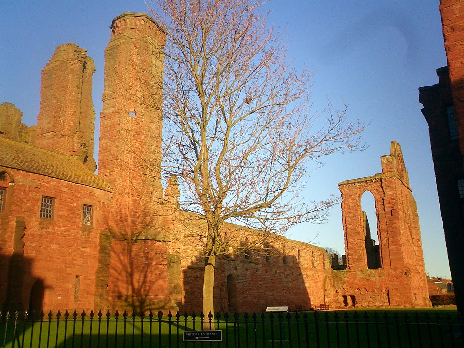
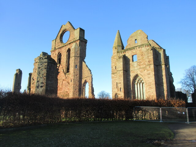
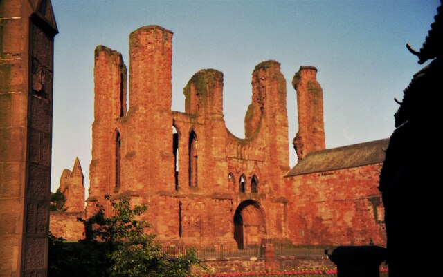
Arbroath Abbey
Arbroath Abbey, in the Scottish town of Arbroath, was founded in 1178 by King William the Lion for a group of Tironensian Benedictine monks from Kelso...

Arbroath
Arbroath () or Aberbrothock (Scottish Gaelic: Obar Bhrothaig [ˈopəɾ ˈvɾo.ɪkʲ]) is a former royal burgh and the largest town in the council area of Angus...

Arbroath Victoria F.C.
Arbroath Victoria Football Club are a Scottish Junior football club based in Arbroath. The club competes in the SJFA Midlands League and play their games...

St John's Methodist Church, Arbroath
St John's Methodist Church, on Ponderlaw Street, Arbroath, Scotland, was founded by John Wesley on 6 May 1772. The nave is octagonal and the church has...

Church of St Mary the Virgin, Arbroath
The Church of St Mary the Virgin is a Scottish Episcopal Church, in Arbroath, Angus, Scotland. It is part of the Diocese of Brechin. == Church building... ==
Arbroath Catherine Street railway station
Arbroath Catherine Street railway station served the town of Arbroath, Angus, Scotland from 1839 to 1848 on the Arbroath and Forfar Railway. == History... ==
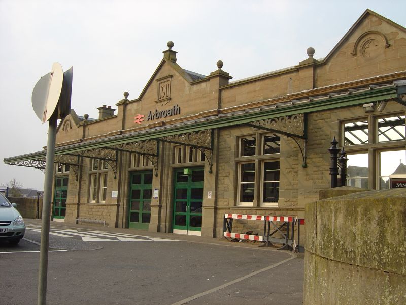
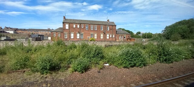
Arbroath railway station
Arbroath railway station serves the town of Arbroath in Angus, Scotland. The station is 17 miles (27 km) east of Dundee on the line between Dundee and...
Nearby Amenities
Located within 500m of 56.566601,-2.5845006Have you been to Demondale?
Leave your review of Demondale below (or comments, questions and feedback).