Hayshead
Settlement in Angus
Scotland
Hayshead
Hayshead is a small village located in the county of Angus, Scotland. Situated on the east coast of the country, it is nestled between the towns of Arbroath and Montrose. The village is known for its picturesque setting, with rolling hills and stunning coastline views.
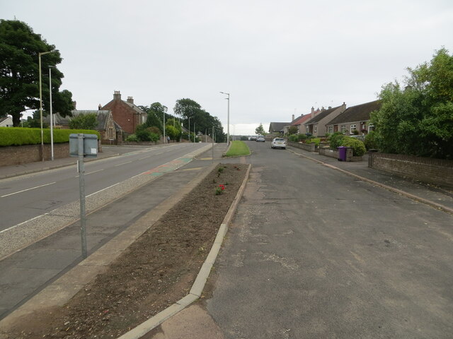
Hayshead is a close-knit community, with a population of around 500 residents. The village offers a peaceful and quiet atmosphere, making it an ideal place for those seeking a tranquil lifestyle. The area is predominantly residential, with a mix of traditional cottages and modern houses.
Although small in size, Hayshead has a few amenities to cater to the needs of its residents. There is a local convenience store, providing essential groceries and household items. Additionally, a community hall serves as a gathering place for various events and activities organized by the villagers.
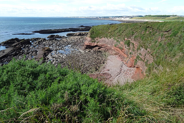
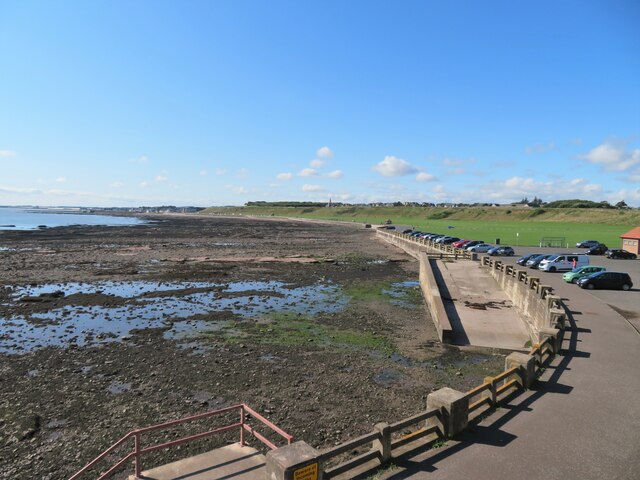
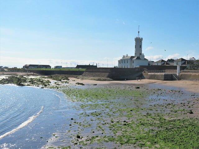
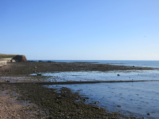
Nature enthusiasts will find Hayshead to be a haven. The village is surrounded by beautiful countryside, perfect for long walks or hikes. The nearby Lunan Bay offers a stunning sandy beach, popular among locals and visitors alike. The beach provides an opportunity for leisurely walks, picnics, and even water sports during the summer months.
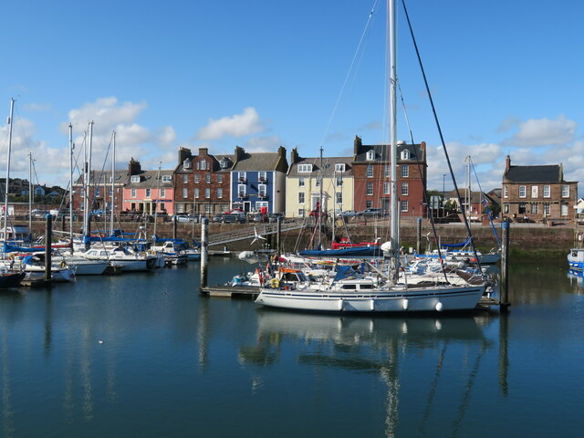
For those seeking more amenities, the larger towns of Arbroath and Montrose are just a short drive away. These towns offer a wider range of shops, restaurants, and recreational facilities. The area is also well-connected by public transportation, making it convenient for commuting to nearby towns or cities.
In summary, Hayshead is a charming village in Angus, Scotland, known for its scenic location and peaceful atmosphere. With its close-knit community and natural beauty, it offers a tranquil lifestyle for its residents.
If you have any feedback on the listing, please let us know in the comments section below.
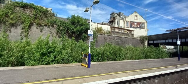
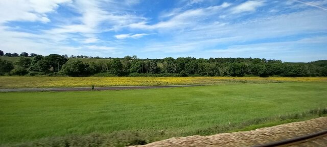
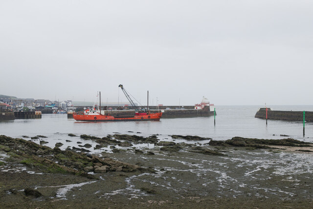
Hayshead Images
Images are sourced within 2km of 56.566544/-2.578053 or Grid Reference NO6441. Thanks to Geograph Open Source API. All images are credited.


![Westhaven memorial by the harbour The Westhaven was an Arbroath fishing boat that was lost at sea on 10th March 1997 with the loss of four crew. The circumstances were not associated with bad weather, but because fishing gear had become trapped in an underwater obstacle [a pipeline] and the boat capsized.](https://s2.geograph.org.uk/geophotos/06/97/10/6971010_36354498.jpg)
Hayshead is located at Grid Ref: NO6441 (Lat: 56.566544, Lng: -2.578053)
Unitary Authority: Angus
Police Authority: Tayside
What 3 Words
///hang.saying.teach. Near Arbroath, Angus
Nearby Locations
Related Wikis
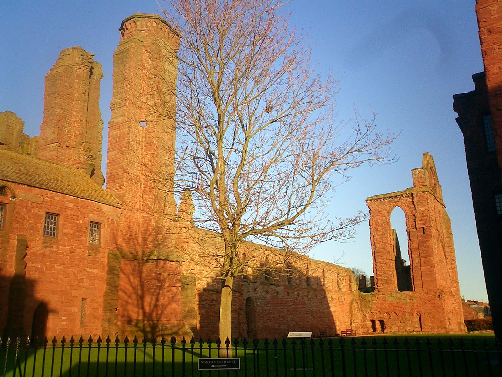
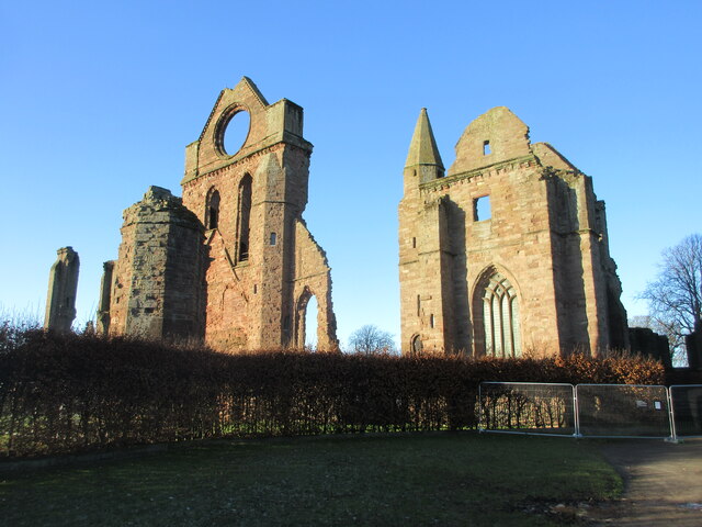
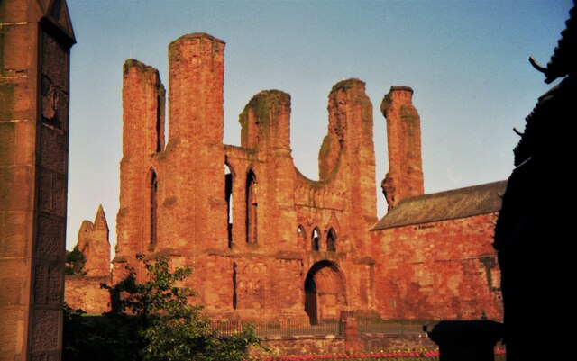
Arbroath Abbey
Arbroath Abbey, in the Scottish town of Arbroath, was founded in 1178 by King William the Lion for a group of Tironensian Benedictine monks from Kelso...

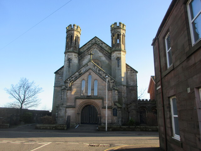
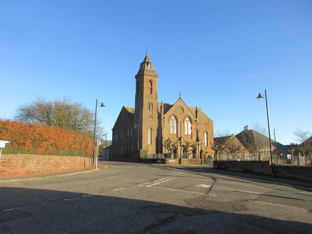
St Andrew's Parish Church, Arbroath
St Andrew's Parish Church is a congregation of the Church of Scotland located in Arbroath, Angus, Scotland. The church building was constructed in the...

Church of St Mary the Virgin, Arbroath
The Church of St Mary the Virgin is a Scottish Episcopal Church, in Arbroath, Angus, Scotland. It is part of the Diocese of Brechin. == Church building... ==
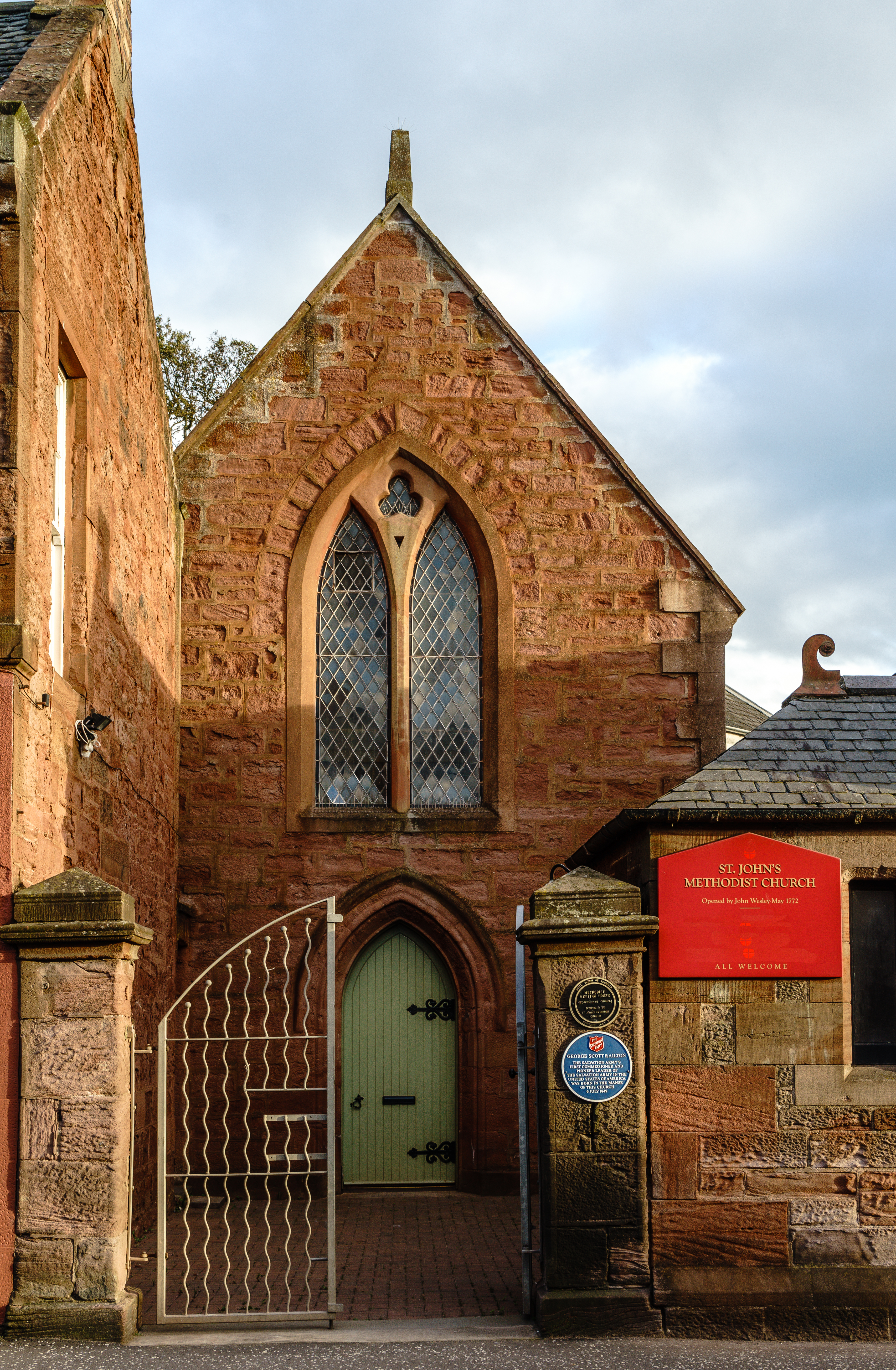
St John's Methodist Church, Arbroath
St John's Methodist Church, on Ponderlaw Street, Arbroath, Scotland, was founded by John Wesley on 6 May 1772. The nave is octagonal and the church has...

Arbroath
Arbroath () or Aberbrothock (Scottish Gaelic: Obar Bhrothaig [ˈopəɾ ˈvɾo.ɪkʲ]) is a former royal burgh and the largest town in the council area of Angus...

Arbroath Town House
Arbroath Town House is a municipal building in the High Street, Arbroath, Scotland. The town house, which was the headquarters of Arbroath Burgh Council...

Corn Exchange, Arbroath
The Corn Exchange is a commercial building in the Market Place, Arbroath, Angus, Scotland. The structure, which is now used as a public house, is a Category...

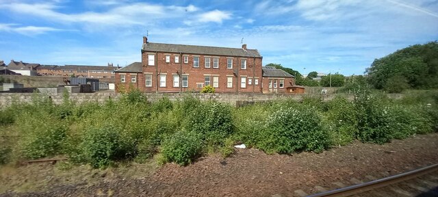
Arbroath Catherine Street railway station
Arbroath Catherine Street railway station served the town of Arbroath, Angus, Scotland from 1839 to 1848 on the Arbroath and Forfar Railway. == History... ==
Nearby Amenities
Located within 500m of 56.566544,-2.578053Have you been to Hayshead?
Leave your review of Hayshead below (or comments, questions and feedback).