Denbigh West
Settlement in Buckinghamshire
England
Denbigh West
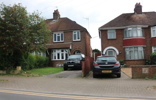
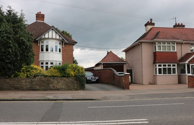
Denbigh West is a small residential area located in the county of Buckinghamshire, England. Situated near the town of Milton Keynes, it forms part of the wider Denbigh district. The neighborhood is predominantly residential, with a mix of houses and apartments, catering to a diverse range of residents.
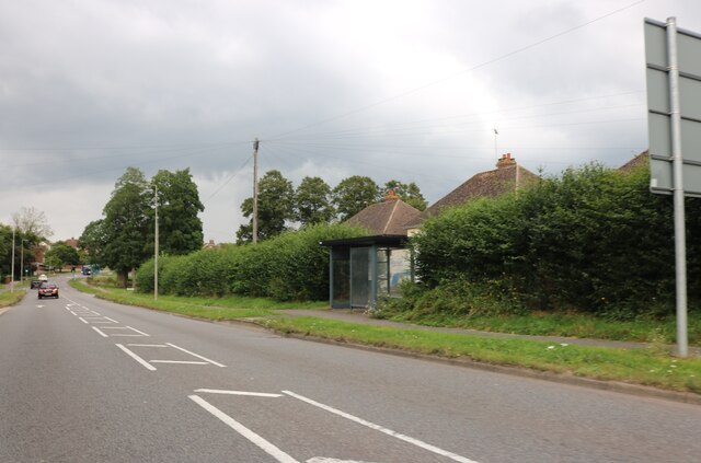
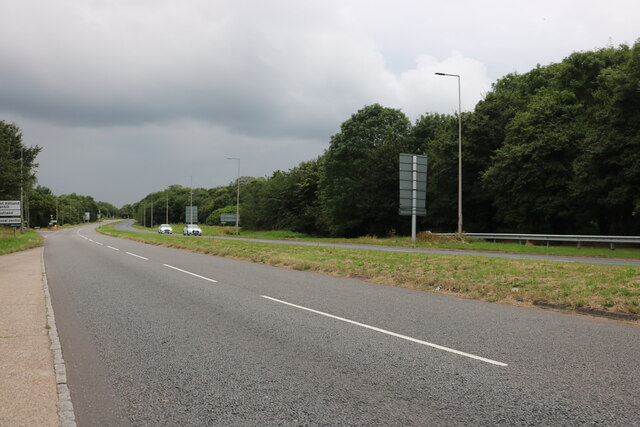
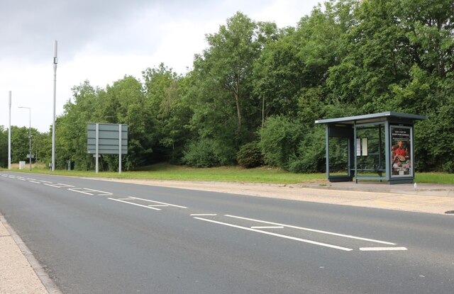
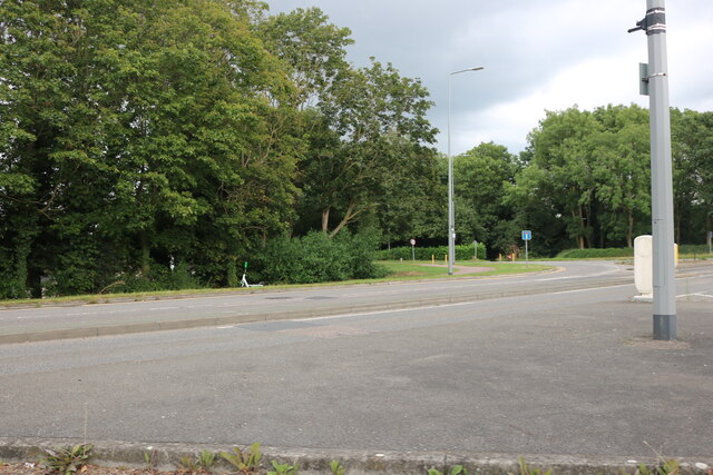
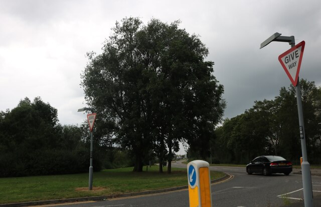
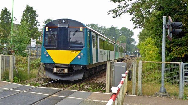
Denbigh West benefits from its proximity to various amenities and facilities. The area is well-served by public transportation, with several bus routes connecting it to Milton Keynes and surrounding areas. The nearest train station, Milton Keynes Central, is just a short distance away, providing easy access to London and other major cities.
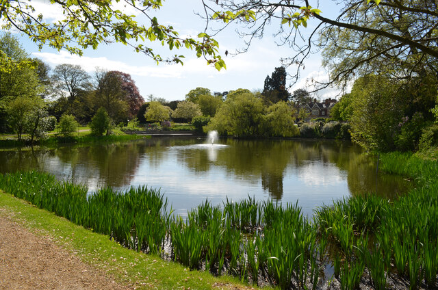
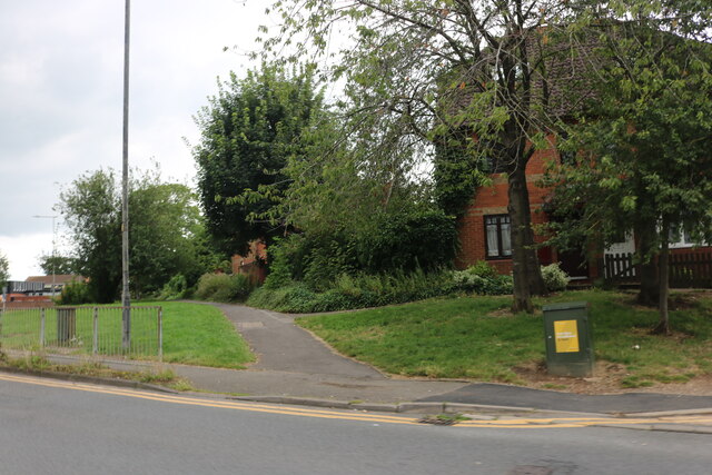
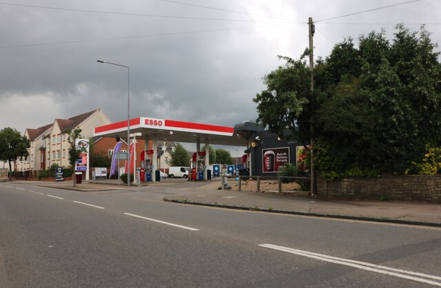
Residents of Denbigh West enjoy a range of recreational options. The neighborhood is surrounded by green spaces, including nearby parks and nature reserves, offering opportunities for outdoor activities and leisurely walks. Additionally, a number of shops, restaurants, and supermarkets are within close proximity, providing convenient access to everyday necessities.
Denbigh West is also home to several educational institutions, including primary and secondary schools, ensuring that families with children have access to quality education. The area boasts a strong sense of community, with various community centers and organizations offering a range of activities and events for residents of all ages.
Overall, Denbigh West is a pleasant residential area in Buckinghamshire, offering a convenient location, access to amenities, and a strong community spirit.
If you have any feedback on the listing, please let us know in the comments section below.
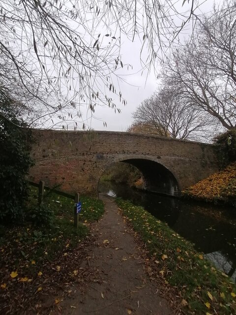
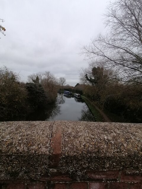
Denbigh West Images
Images are sourced within 2km of 52.004509/-0.73097769 or Grid Reference SP8734. Thanks to Geograph Open Source API. All images are credited.
Denbigh West is located at Grid Ref: SP8734 (Lat: 52.004509, Lng: -0.73097769)
Unitary Authority: Milton Keynes
Police Authority: Thames Valley
What 3 Words
///sweat.bounty.hers. Near Bletchley, Buckinghamshire
Nearby Locations
Related Wikis

Denbigh, Milton Keynes
Denbigh is a district in Milton Keynes, Buckinghamshire, England, to the north of Fenny Stratford and on the eastern side of the West Coast Main Line...

Bletchley TMD
Bletchley TMD is a railway traction maintenance depot situated in Bletchley, Milton Keynes in Buckinghamshire, to the north east of Bletchley railway...

Marshall Arena
The Marshall Arena (formerly known as Arena MK, also Milton Keynes Arena) is a multi-purpose indoor arena in Milton Keynes, Buckinghamshire, England, located...

Stadium MK
Stadium MK is a football ground in the Denbigh district of Bletchley in Milton Keynes, Buckinghamshire, England. Designed by Populous and opened in 2007...

Milton Keynes South West (UK Parliament constituency)
Milton Keynes South West was a constituency represented in the House of Commons of the Parliament of the United Kingdom from 1992 to 2010. It elected one...
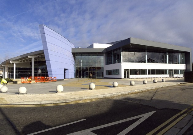
Bletchley Leisure Centre
The Bletchley Leisure Centre is an indoor leisure facility in Milton Keynes, Buckinghamshire, England. The new Bletchley Leisure Centre opened in 2009...
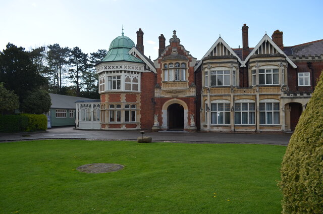
National College of Cyber Security
The College of National Security (also referred to as the National College of Cyber Security) was a proposed cyber security school for 16-19 year-olds...
Hut 7
Hut 7 was a wartime section of the Government Code and Cypher School (GC&CS) at Bletchley Park tasked with the solution of Japanese naval codes such as...
Nearby Amenities
Located within 500m of 52.004509,-0.73097769Have you been to Denbigh West?
Leave your review of Denbigh West below (or comments, questions and feedback).