Denby Village
Settlement in Derbyshire Amber Valley
England
Denby Village

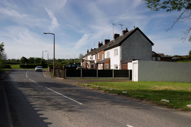
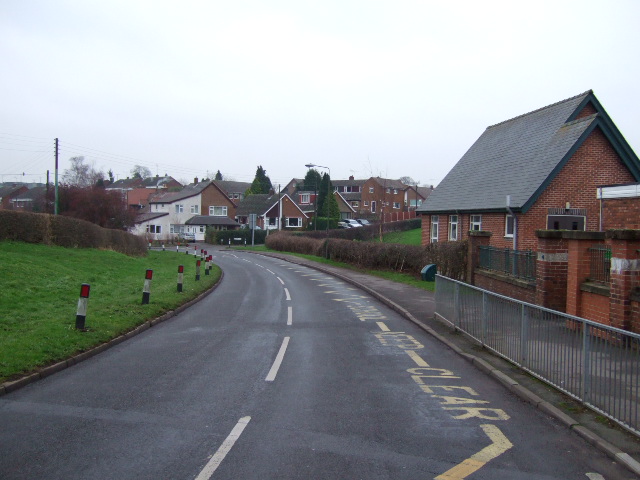
Denby Village is a small, picturesque village located in the county of Derbyshire, England. Situated approximately five miles northeast of Derby city center, it is nestled within the scenic countryside of the Amber Valley. With a population of around 1,500 residents, Denby Village boasts a close-knit community and a peaceful, rural atmosphere.
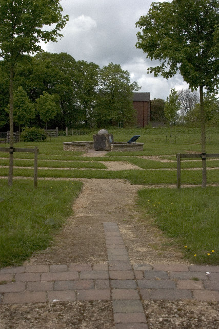
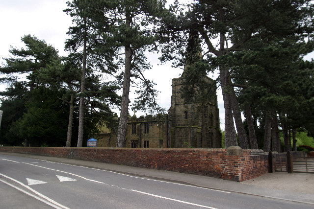
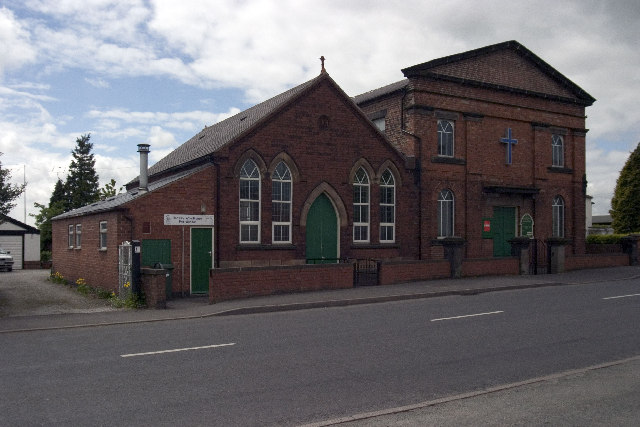
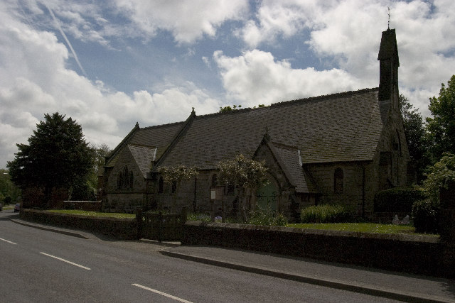
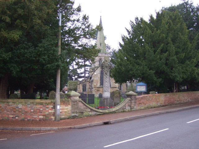
The village is renowned for its rich history, dating back to the medieval era. It is home to several historic buildings, including St. Mary's Church, which dates back to the 14th century. The church's elegant architecture and stunning stained glass windows make it a prominent landmark in the area.
Denby Village is also famous for its pottery industry. The Denby Pottery Company, established in 1809, has been a significant employer in the area for over two centuries. Visitors can explore the Denby Pottery Visitor Centre, which offers guided tours, workshops, and a chance to purchase unique, handcrafted ceramics.
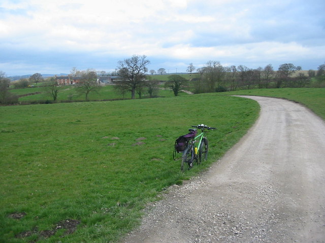
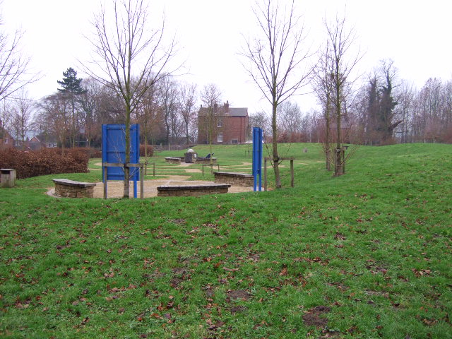
Nature enthusiasts will find plenty to enjoy in and around Denby Village. The village is surrounded by beautiful countryside, providing ample opportunities for scenic walks and hikes. The nearby Shipley Country Park offers expansive green spaces, woodlands, and a lake, making it an ideal spot for picnics and outdoor activities.
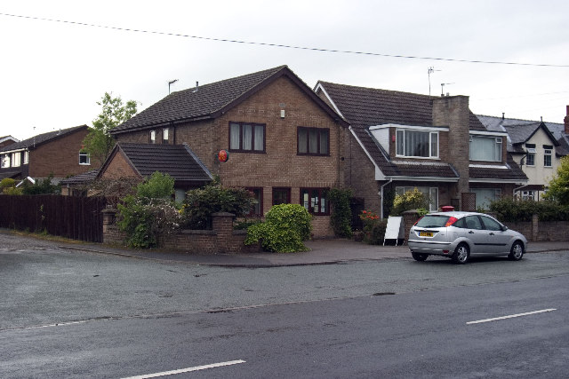
In terms of amenities, Denby Village has a range of local shops, including a post office, convenience stores, and a few charming cafes. The village also benefits from excellent transport links, with regular bus services connecting it to nearby towns and cities.
Overall, Denby Village is a charming and historically significant village, offering a tranquil escape from the hustle and bustle of urban life while still providing essential amenities and a vibrant community spirit.
If you have any feedback on the listing, please let us know in the comments section below.
Denby Village Images
Images are sourced within 2km of 53.014262/-1.4051004 or Grid Reference SK4046. Thanks to Geograph Open Source API. All images are credited.


Denby Village is located at Grid Ref: SK4046 (Lat: 53.014262, Lng: -1.4051004)
Administrative County: Derbyshire
District: Amber Valley
Police Authority: Derbyshire
What 3 Words
///dizzy.constrain.chopper. Near Ripley, Derbyshire
Nearby Locations
Related Wikis

St Mary the Virgin's Church, Denby
St Mary the Virgin's Church, Denby is a Grade I listed parish church in the Church of England in Denby, Derbyshire. == History == The church dates from...
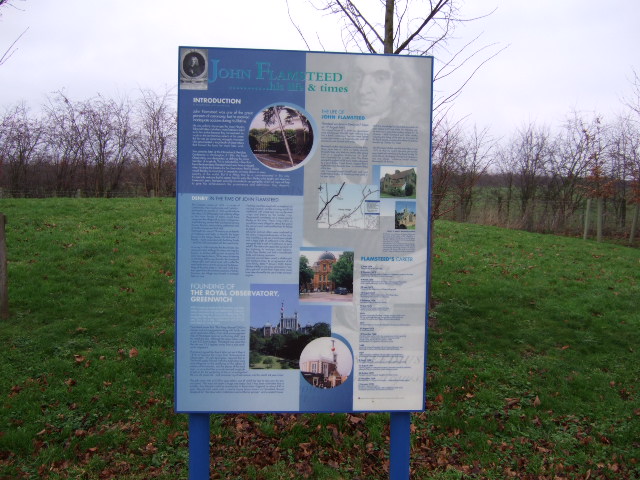
John Flamsteed Community School
John Flamsteed Community School is an 11–16 mixed secondary school with academy status in Denby, Derbyshire, England. It is named after Sir John Flamsteed...

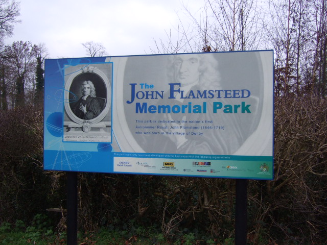
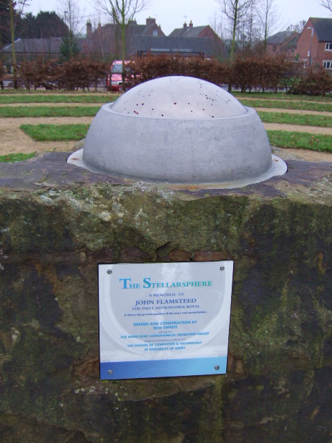
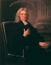
Denby
Denby is a village in the English county of Derbyshire that is notable as the birthplace of John Flamsteed, England's first Astronomer Royal, and the location...
Denby railway station
Denby railway station was a railway station which served the village of Denby in Derbyshire, England. It was opened in 1856 as Smithy Houses by the Midland...
Nearby Amenities
Located within 500m of 53.014262,-1.4051004Have you been to Denby Village?
Leave your review of Denby Village below (or comments, questions and feedback).