Denham

Settlement in Hertfordshire

England

Denham

Evening Light, London N14 Liked the colour of the clouds and the vapour trails.
Evening Light, London N14 Credit: Christine Matthews

Denham is a small village located in the county of Hertfordshire, England. Situated approximately 20 miles northwest of London, Denham is part of the South Bucks district and lies on the edge of the Greater London Urban Area. The village is surrounded by picturesque countryside, providing residents with a peaceful and idyllic setting.

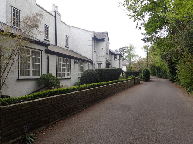
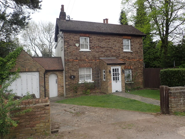
Historically, Denham dates back to the Saxon period and has retained much of its traditional charm. The village features a mixture of architectural styles, with a blend of Tudor, Georgian, and Victorian buildings that line its streets. One notable landmark is the Church of Saint Mary, a Grade I listed building that dates back to the 12th century.

Denham is known for its close-knit community and friendly atmosphere. The village offers a range of amenities, including a primary school, local shops, and a post office, catering to the needs of its residents. Additionally, Denham is home to several pubs and restaurants, where locals and visitors can enjoy a meal or a drink.

With its proximity to London, Denham is a popular choice for commuters looking to escape the hustle and bustle of the city. The village benefits from excellent transportation links, with Denham railway station providing regular services to London Marylebone, making it an ideal location for those working in the capital.

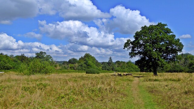
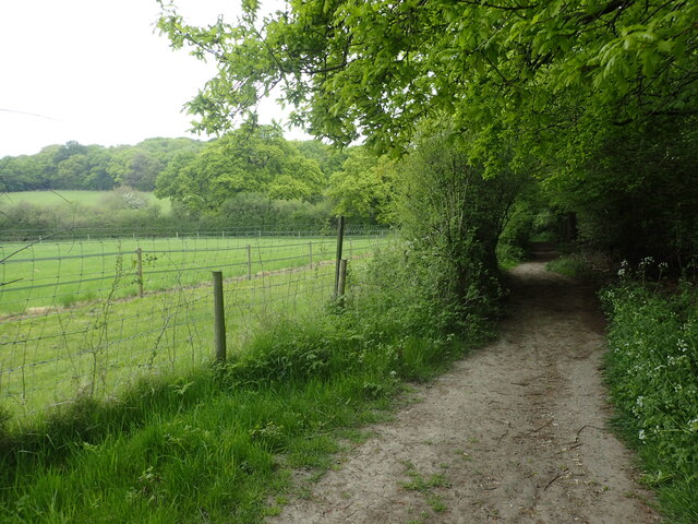
The surrounding countryside offers opportunities for outdoor activities, such as walking and cycling, with the nearby Colne Valley Regional Park providing ample green spaces and nature reserves for residents to explore. Overall, Denham offers a charming and peaceful village lifestyle within easy reach of the city.

If you have any feedback on the listing, please let us know in the comments section below.
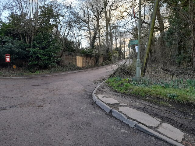
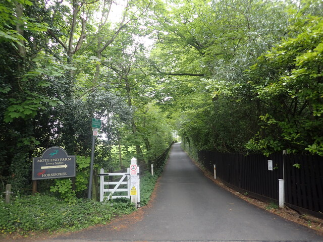
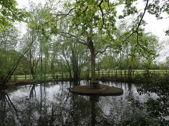
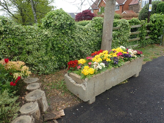
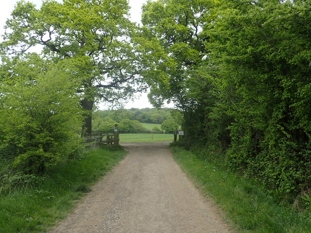
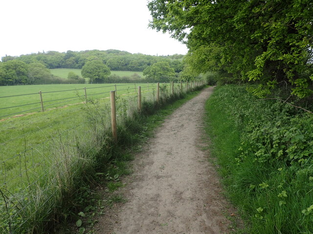
Denham Images

Images are sourced within 2km of 51.630644/-0.22290246 or Grid Reference TQ2393. Thanks to Geograph Open Source API. All images are credited.

Evening Light, London N14 Liked the colour of the clouds and the vapour trails.
Evening Light, London N14
Liked the colour of the clouds and the vapour trails.
Totteridge Fields The nature reserve covers over 30 fields to the north of Totteridge Common,  stretching between Hendon Wood Lane in the west and Grange Avenue in the east.  It lies along the valley of the Dollis Brook, which flows from west to east through the site, with fields rising gently on either side.

Totteridge Fields once produced hay for London’s horse-traffic. In the early 1990s local people successfully opposed plans for a cemetery covering three fields. This led to the site coming under the management of the London Wildlife Trust from 1993. 

Traditional hay-cutting methods are still used, with volunteers mowing alternative areas each year to help conserve the richly diverse plant and invertebrate population.  This work is supplemented by conservation grazing with traditional breeds of cattle, first introduced in 2014.
Totteridge Fields
The nature reserve covers over 30 fields to the north of Totteridge Common, stretching between Hendon Wood Lane in the west and Grange Avenue in the east. It lies along the valley of the Dollis Brook, which flows from west to east through the site, with fields rising gently on either side. Totteridge Fields once produced hay for London’s horse-traffic. In the early 1990s local people successfully opposed plans for a cemetery covering three fields. This led to the site coming under the management of the London Wildlife Trust from 1993. Traditional hay-cutting methods are still used, with volunteers mowing alternative areas each year to help conserve the richly diverse plant and invertebrate population. This work is supplemented by conservation grazing with traditional breeds of cattle, first introduced in 2014.
Houseplants in Finchley Nurseries
Burtonhole Lane, Mill Hill
Burtonhole Lane at the junction of The Ridgeway
Burtonhole Lane, Mill Hill
Footpath and driveway to Mote End Farm This leads off Nan Clark's Lane here and beyond Mote End Farm it reaches the London Loop.
Footpath and driveway to Mote End Farm
This leads off Nan Clark's Lane here and beyond Mote End Farm it reaches the London Loop.
The entrance to Mote End This is at Mote End Farm. The driveway through the gate leads to Pond Cottage, The Studio and the Coach House. This old horse trough with its flowers made a splash of colour on a rather dull day.
The entrance to Mote End
This is at Mote End Farm. The driveway through the gate leads to Pond Cottage, The Studio and the Coach House. This old horse trough with its flowers made a splash of colour on a rather dull day.
Nan Clark's Lane Nan Clark's Lane got its name from Nan Clark who worked in the local tavern (the pub is now called The Rising Sun). She was well-liked and had many admirers, but she also had a very jealous husband. One day her husband barged into the pub drunk and started yelling and screaming at Nan as there were whispers going round that she had been having an affair. Nan Clark’s husband dragged Nan out of the tavern, down what is now called Nan Clark’s lane, pulling her hair when she tried to struggle. Nan Clark was then murdered by being drowned in a nearby lake. The lake is seen at <a title="https://www.geograph.org.uk/photo/7158900" href="https://www.geograph.org.uk/photo/7158900">Link</a>

For more about the story see <span class="nowrap"><a title="https://www.times-series.co.uk/news/18003923.mill-hill-road-one-uks-spookiest/" rel="nofollow ugc noopener" href="https://www.times-series.co.uk/news/18003923.mill-hill-road-one-uks-spookiest/">Link</a><img style="margin-left:2px;" alt="External link" title="External link - shift click to open in new window" src="https://s1.geograph.org.uk/img/external.png" width="10" height="10"/></span>  and <span class="nowrap"><a title="https://teaandtakes.com/2013/12/22/the-story-of-nan-clark/" rel="nofollow ugc noopener" href="https://teaandtakes.com/2013/12/22/the-story-of-nan-clark/">Link</a><img style="margin-left:2px;" alt="External link" title="External link - shift click to open in new window" src="https://s1.geograph.org.uk/img/external.png" width="10" height="10"/></span>
Nan Clark's Lane
Nan Clark's Lane got its name from Nan Clark who worked in the local tavern (the pub is now called The Rising Sun). She was well-liked and had many admirers, but she also had a very jealous husband. One day her husband barged into the pub drunk and started yelling and screaming at Nan as there were whispers going round that she had been having an affair. Nan Clark’s husband dragged Nan out of the tavern, down what is now called Nan Clark’s lane, pulling her hair when she tried to struggle. Nan Clark was then murdered by being drowned in a nearby lake. The lake is seen at Link For more about the story see LinkExternal link and LinkExternal link
A pond with a sinister story The nearby Nan Clark's Lane got its name from Nan Clark who worked in the local tavern (the pub is now called The Rising Sun). She was well-liked and had many admirers, but she also had a very jealous husband. One day her husband barged into the pub drunk and started yelling and screaming at Nan Clark as there were whispers going round that Nan had been having an affair. Nan Clark’s husband dragged Nan out of the tavern, down what is now called Nan Clark’s lane, pulling her hair when she tried to struggle. Nan Clark was then murdered by being drowned in this nearby lake. 

For more about the story see <span class="nowrap"><a title="https://www.times-series.co.uk/news/18003923.mill-hill-road-one-uks-spookiest/" rel="nofollow ugc noopener" href="https://www.times-series.co.uk/news/18003923.mill-hill-road-one-uks-spookiest/">Link</a><img style="margin-left:2px;" alt="External link" title="External link - shift click to open in new window" src="https://s1.geograph.org.uk/img/external.png" width="10" height="10"/></span>  and <span class="nowrap"><a title="https://teaandtakes.com/2013/12/22/the-story-of-nan-clark/" rel="nofollow ugc noopener" href="https://teaandtakes.com/2013/12/22/the-story-of-nan-clark/">Link</a><img style="margin-left:2px;" alt="External link" title="External link - shift click to open in new window" src="https://s1.geograph.org.uk/img/external.png" width="10" height="10"/></span>
A pond with a sinister story
The nearby Nan Clark's Lane got its name from Nan Clark who worked in the local tavern (the pub is now called The Rising Sun). She was well-liked and had many admirers, but she also had a very jealous husband. One day her husband barged into the pub drunk and started yelling and screaming at Nan Clark as there were whispers going round that Nan had been having an affair. Nan Clark’s husband dragged Nan out of the tavern, down what is now called Nan Clark’s lane, pulling her hair when she tried to struggle. Nan Clark was then murdered by being drowned in this nearby lake. For more about the story see LinkExternal link and LinkExternal link
At the entrance to Mote End This is at Mote End Farm, next to the driveway which leads to Pond Cottage, The Studio and the Coach House. This old horse trough with its flowers made a splash of colour on a rather dull day. See also <a title="https://www.geograph.org.uk/photo/7158223" href="https://www.geograph.org.uk/photo/7158223">Link</a>
At the entrance to Mote End
This is at Mote End Farm, next to the driveway which leads to Pond Cottage, The Studio and the Coach House. This old horse trough with its flowers made a splash of colour on a rather dull day. See also Link
London Loop ahead This is just past Mote End Farm and the London Loop is joined beyond the gate. Moat Mount and Barnet Gate Wood can be seen in the distance.
London Loop ahead
This is just past Mote End Farm and the London Loop is joined beyond the gate. Moat Mount and Barnet Gate Wood can be seen in the distance.
The London Loop at Moat Mount The London Loop is seen here at Moat Mount with Barnet Gate Wood on the horizon. The path is also followed by the Dollis Valley Greenwalk. The Dollis Brook is a tributary of the River Brent and the infant Dollis Brook is crossed ahead at the foot of the valley which is at the end of the field on the left.
The London Loop at Moat Mount
The London Loop is seen here at Moat Mount with Barnet Gate Wood on the horizon. The path is also followed by the Dollis Valley Greenwalk. The Dollis Brook is a tributary of the River Brent and the infant Dollis Brook is crossed ahead at the foot of the valley which is at the end of the field on the left.
Windmill Cottage, Arkley Arkley Windmill can just be glimpsed behind. It dates from 1826 and more about it can be seen at <span class="nowrap"><a title="https://www.hertsad.co.uk/lifestyle/property/gone-with-the-windmill-visiting-one-of-herts-most-intriguing-5054096" rel="nofollow ugc noopener" href="https://www.hertsad.co.uk/lifestyle/property/gone-with-the-windmill-visiting-one-of-herts-most-intriguing-5054096">Link</a><img style="margin-left:2px;" alt="External link" title="External link - shift click to open in new window" src="https://s1.geograph.org.uk/img/external.png" width="10" height="10"/></span>   and at <span class="nowrap"><a title="https://www.dailymail.co.uk/news/article-3231898/Four-sails-stunning-9-5million-home-windmill.html" rel="nofollow ugc noopener" href="https://www.dailymail.co.uk/news/article-3231898/Four-sails-stunning-9-5million-home-windmill.html">Link</a><img style="margin-left:2px;" alt="External link" title="External link - shift click to open in new window" src="https://s1.geograph.org.uk/img/external.png" width="10" height="10"/></span>
Windmill Cottage, Arkley
Arkley Windmill can just be glimpsed behind. It dates from 1826 and more about it can be seen at LinkExternal link and at LinkExternal link
The Orange Tree Pub Totteridge Barnet Night was just falling on this almost shortest day of the year and the pub looked all Christmas-y and inviting. My Lumix camera is seemingly more intelligent than I am and whatever programme it decided to use gives the photo an almost Impressionist feel. There's a sign by the pond that asks us not to feed the ducks as it causes pollution. By that logic I guess it would be less polluting for the planet if we stopped feeding ourselves. Unlikely at this time of year.
The Orange Tree Pub Totteridge Barnet
Night was just falling on this almost shortest day of the year and the pub looked all Christmas-y and inviting. My Lumix camera is seemingly more intelligent than I am and whatever programme it decided to use gives the photo an almost Impressionist feel. There's a sign by the pond that asks us not to feed the ducks as it causes pollution. By that logic I guess it would be less polluting for the planet if we stopped feeding ourselves. Unlikely at this time of year.
Saddlers Close
Saddlers Close
War Memorial, Rowley Green War memorials were mainly constructed after WWI to commemorate the troops who gave their lives in the war. Many were then updated after WWII. Some war memorials date back to the Boer War. Almost every town and village in Britain has a War Memorial. They take many forms, the commonest being an obelisk, a cross or statue of a soldier. Some commemorate the inhabitants of a place, some are for schools and others are for companies or Military groupings.
Many memorials are grade II listed, 61 are II* listed, <span class="nowrap"><a title="https://en.wikipedia.org/wiki/Grade_II" rel="nofollow ugc noopener" href="https://en.wikipedia.org/wiki/Grade_II">Link</a><img style="margin-left:2px;" alt="External link" title="External link - shift click to open in new window" src="https://s1.geograph.org.uk/img/external.png" width="10" height="10"/></span>*_listed_war_memorials_in_England  
 & 12 are Grade I listed. <span class="nowrap"><a title="https://en.wikipedia.org/wiki/Grade_I_listed_war_memorials_in_England" rel="nofollow ugc noopener" href="https://en.wikipedia.org/wiki/Grade_I_listed_war_memorials_in_England">Link</a><img style="margin-left:2px;" alt="External link" title="External link - shift click to open in new window" src="https://s1.geograph.org.uk/img/external.png" width="10" height="10"/></span> 
A search for memorials can be carried out at <span class="nowrap"><a title="http://www.ukniwm.org.uk/server/show/nav.002006003" rel="nofollow ugc noopener" href="http://www.ukniwm.org.uk/server/show/nav.002006003">Link</a><img style="margin-left:2px;" alt="External link" title="External link - shift click to open in new window" src="https://s1.geograph.org.uk/img/external.png" width="10" height="10"/></span>
War Memorial, Rowley Green
War memorials were mainly constructed after WWI to commemorate the troops who gave their lives in the war. Many were then updated after WWII. Some war memorials date back to the Boer War. Almost every town and village in Britain has a War Memorial. They take many forms, the commonest being an obelisk, a cross or statue of a soldier. Some commemorate the inhabitants of a place, some are for schools and others are for companies or Military groupings. Many memorials are grade II listed, 61 are II* listed, LinkExternal link*_listed_war_memorials_in_England & 12 are Grade I listed. LinkExternal link A search for memorials can be carried out at LinkExternal link
Show me another place!

Denham is located at Grid Ref: TQ2393 (Lat: 51.630644, Lng: -0.22290246)

Unitary Authority: Barnet

Police Authority: Metropolitan

What 3 Words

///broke.stars.fonts. Near Barnet, London

Nearby Locations

Denham

Related Wikis

Totteridge Common

Totteridge Common is a 3.7 hectare Site of Borough Importance for Nature Conservation, Grade II, in Totteridge in the London Borough of Barnet. The nature...

Ellern Mede

Ellern Mede is a specialist private provider of eating disorder services in England. It runs two hospitals in North London and one in Rotherham. The hospital...

Totteridge Fields

Totteridge Fields is a 97-hectare Site of Metropolitan Importance for Nature Conservation (SINC) in Totteridge in the London Borough of Barnet. The SINC...

Summer Soulstice

Summer Soulstice is a U.K. greenfield, soul music event started in 2007 which to date has taken place in the London Borough of Barnet, usually held close...

Nearby Amenities

Located within 500m of 51.630644,-0.22290246
Bus Stop
Ellern Mede
Naptan AtcoCode: 490006486E
Naptan Bearing: N
Naptan CommonName: Ellern Meade
Naptan Street: TOTTERIDGE COMMON
Naptan Verified: no
Public Transport: platform
Lat/Long: 51.6317682/-0.22279
Bus Stop
Ellern Mede
Naptan AtcoCode: 490006486W
Naptan Bearing: N
Naptan CommonName: Ellern Meade
Naptan Street: TOTTERIDGE COMMON
Naptan Verified: no
Public Transport: platform
Lat/Long: 51.6318575/-0.2216957
Bus Stop
St Edward's College
Naptan AtcoCode: 490012661E
Naptan Bearing: E
Naptan CommonName: St.Edwards College
Naptan Street: TOTTERIDGE COMMON
Naptan Verified: no
Public Transport: platform
Lat/Long: 51.6310413/-0.2266708
Bus Stop
St Edward's College
Naptan AtcoCode: 490012661W
Naptan Bearing: W
Naptan CommonName: St.Edwards College
Naptan Street: TOTTERIDGE COMMON
Naptan Verified: no
Public Transport: platform
Lat/Long: 51.6308269/-0.2271739
Bus Stop
West End House
Naptan AtcoCode: 490014432E
Naptan Bearing: E
Naptan CommonName: West End House
Naptan Street: TOTTERIDGE COMMON
Naptan Verified: no
Public Transport: platform
Lat/Long: 51.6305482/-0.2298015
Bus Stop
West End House
Naptan AtcoCode: 490014432W
Naptan Bearing: W
Naptan CommonName: West End House
Naptan Street: TOTTERIDGE COMMON
Naptan Verified: no
Public Transport: platform
Lat/Long: 51.6306374/-0.2288593
Crossing
Lat/Long: 51.6319223/-0.220601
Crossing
Lat/Long: 51.631649/-0.2225496
Crossing
Lat/Long: 51.6314864/-0.2229098
Crossing
Lat/Long: 51.6312351/-0.2237952
Barrier: kissing_gate
Lat/Long: 51.6323668/-0.2164316
The data included in this document is from www.openstreetmap.org. The data is made available under ODbL.

Have you been to Denham?

Leave your review of Denham below (or comments, questions and feedback).