Daisyfield
Settlement in Lancashire
England
Daisyfield
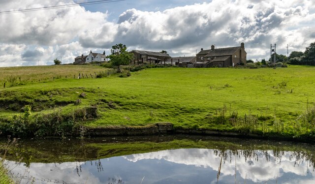
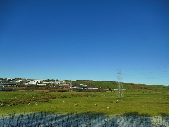
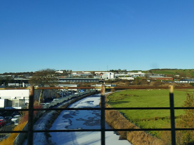
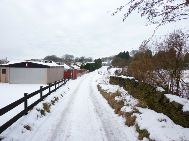
Daisyfield is a small village located in the county of Lancashire, England. Situated about 3 miles east of the city of Blackburn, it falls within the Blackburn with Darwen borough. The village is nestled in a picturesque rural setting and is surrounded by beautiful rolling hills and farmland.
Daisyfield is a close-knit community with a population of approximately 1,500 residents. The village is known for its tranquility and peaceful atmosphere, making it an ideal place for those seeking a quiet and serene environment. The local residents take great pride in their village and its charm is evident in the well-maintained houses and gardens.
The village has a few amenities to cater to the needs of its residents. There is a primary school, which provides education for the local children, and a small convenience store that serves as a local hub. Additionally, there is a village hall that hosts various community events and gatherings throughout the year.
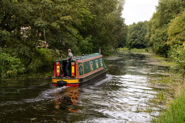
For those seeking recreational activities, Daisyfield offers several opportunities to explore the surrounding natural beauty. The village is surrounded by numerous walking and cycling trails, allowing residents and visitors to enjoy the stunning countryside. The nearby Witton Country Park is a popular destination for nature lovers, offering vast green spaces, woodlands, and a variety of wildlife.
Overall, Daisyfield is a charming and peaceful village that offers a close community spirit and access to beautiful countryside. It provides a quiet escape from the hustle and bustle of nearby urban areas while offering a range of amenities and outdoor activities for its residents.
If you have any feedback on the listing, please let us know in the comments section below.
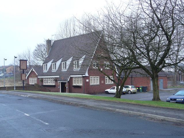
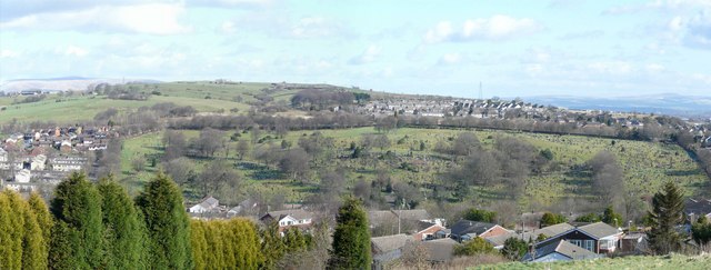
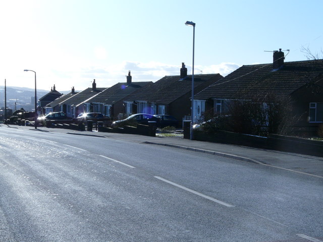
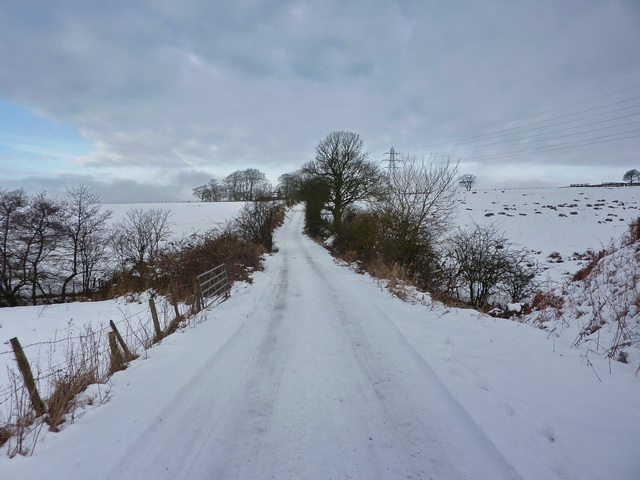
Daisyfield Images
Images are sourced within 2km of 53.755074/-2.4646749 or Grid Reference SD6928. Thanks to Geograph Open Source API. All images are credited.

Daisyfield is located at Grid Ref: SD6928 (Lat: 53.755074, Lng: -2.4646749)
Unitary Authority: Blackburn with Darwen
Police Authority: Lancashire
What 3 Words
///pits.remark.jacket. Near Blackburn, Lancashire
Nearby Locations
Related Wikis

Jamiatul Ilm Wal Huda
Jamiatul Ilm Wal Huda, also known as Darul Uloom Blackburn, is an 11–25 private, Islamic, boarding and day school for boys in Blackburn, Lancashire, England...

Daisyfield railway station
Daisyfield railway station was a railway station that served the Daisyfield area of Blackburn, Lancashire. == History == The station was opened by the...

Little Harwood
Little Harwood is a suburb of Blackburn in Lancashire, England, situated at the northern edge of the town. == Use of land == Located within the ward are...
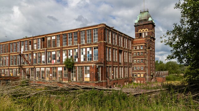
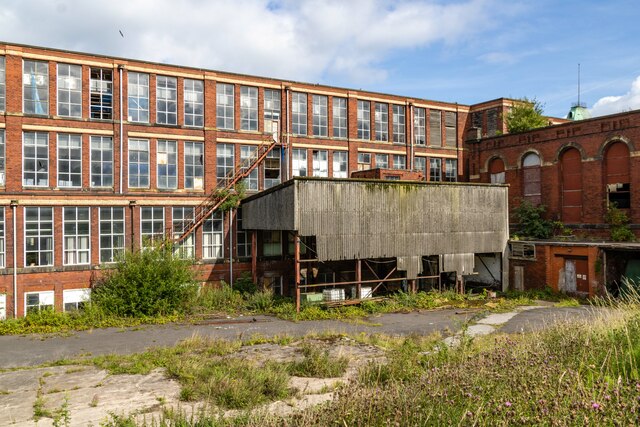
Imperial Mill, Blackburn
Imperial Mill, Blackburn is a cotton spinning mill at Wallace and Gorse Street in Greenbank, Blackburn, Lancashire, England. It was designed by P.S. Stott...
Related Videos


OUR TRAVEL JOURNEY 2019 | 🇳🇱 🇮🇩🇨🇭🇮🇹 🇫🇷 🇲🇨 🇦🇩 🇪🇸 🇱🇺 🇧🇪 🇲🇦
Hi genks, ini highlights travel journey kita selama 2019 di 11 negara yg berhasil kita jelajahi dg alhamdulillah selamat sentosa.
Blackburn, England || Corporation Park walking Tour with relaxing music ||
England#Blackburn#park#tour# This video is all about walking tour in the corporation park with relaxing music.

Walking around The Mall in Blackburn great shopping centre || Walking tour
I take a walk round best shopping centre the mall in Blackburn. #walkingtour #tour #shopping.
Nearby Amenities
Located within 500m of 53.755074,-2.4646749Have you been to Daisyfield?
Leave your review of Daisyfield below (or comments, questions and feedback).