Dalbury Hollow

Settlement in Derbyshire South Derbyshire

England

Dalbury Hollow

Etwall to Derby cycle track On a bright warm morningin May, the May blossom (Hawthorn) is showing up well all along the cycle track.
Etwall to Derby cycle track Credit: Malcolm Neal

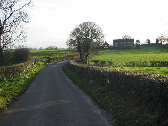
Dalbury Hollow is a quaint village located in the picturesque county of Derbyshire, England. Nestled amidst rolling hills and lush greenery, this idyllic village offers a peaceful escape from the bustling city life. With a population of approximately 500 residents, Dalbury Hollow exudes a warm and welcoming atmosphere.

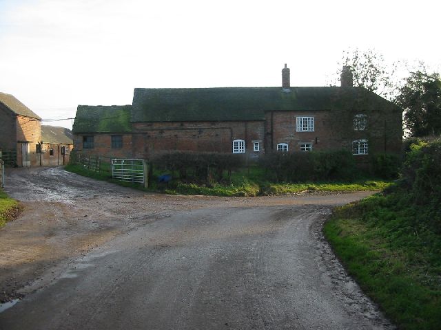
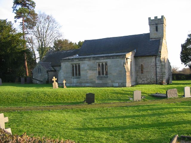
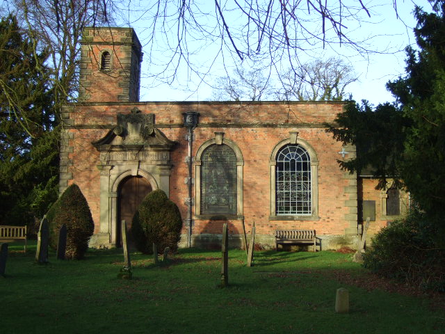
The village is characterized by its charming stone cottages and well-preserved historic buildings, which showcase its rich heritage. St. Peter's Church, a Grade II listed building dating back to the 14th century, stands proudly as a prominent landmark in the heart of the village.

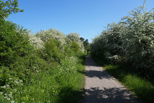
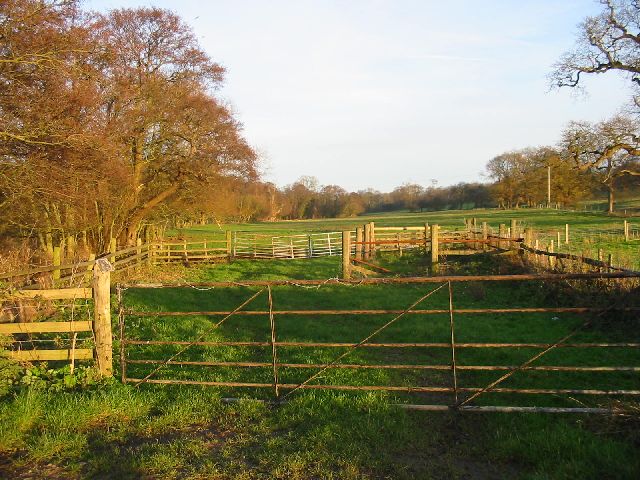
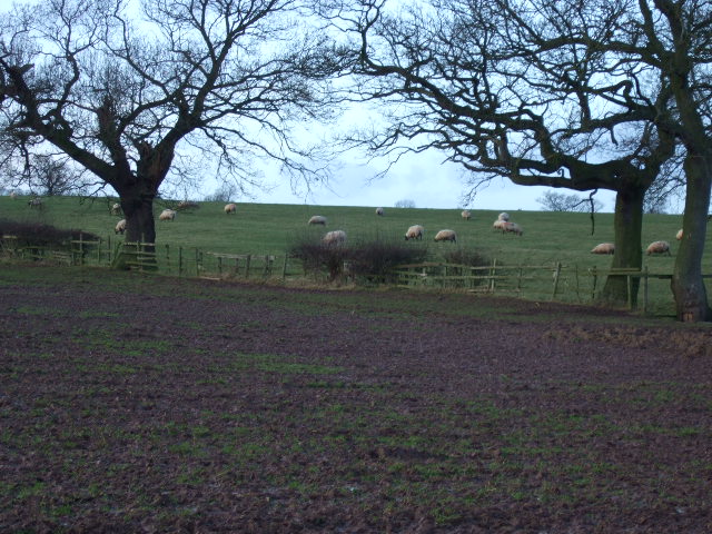
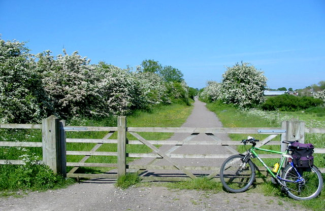
Nature enthusiasts are drawn to Dalbury Hollow for its stunning countryside and scenic walks. The nearby Dalbury Lees Nature Reserve provides ample opportunities for bird watching and exploring diverse flora and fauna. The area is also known for its abundant wildlife, including badgers, deer, and various species of birds.

Despite its small size, Dalbury Hollow boasts a strong sense of community. The village hall hosts regular social gatherings and events, fostering a close-knit community spirit. Additionally, the local pub is a popular meeting spot, where residents and visitors can enjoy traditional English fare and a friendly atmosphere.

For those seeking a taste of history, the nearby historic market town of Ashbourne offers a range of amenities and attractions, including antique shops, local markets, and the annual Ashbourne Shrovetide Football game.

In summary, Dalbury Hollow is a charming village that effortlessly combines natural beauty, rich history, and a strong sense of community. It is a hidden gem in Derbyshire, offering a tranquil escape for visitors and a delightful home for its residents.

If you have any feedback on the listing, please let us know in the comments section below.

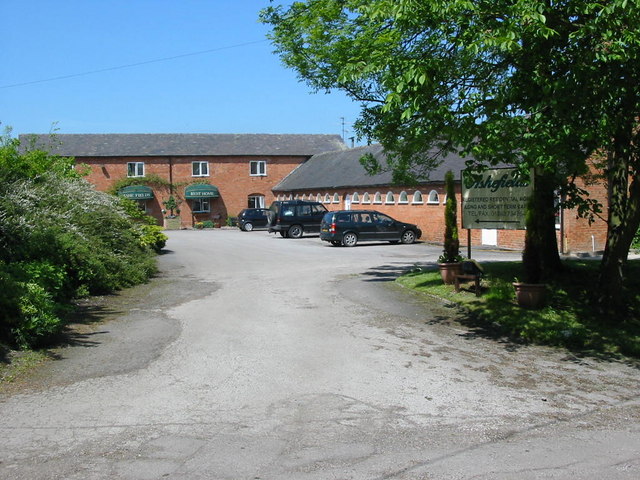
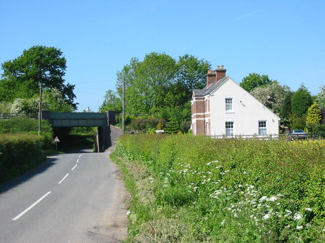
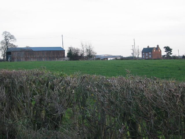
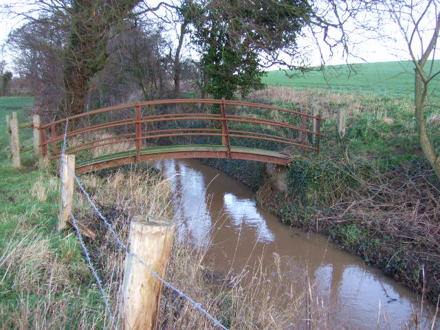
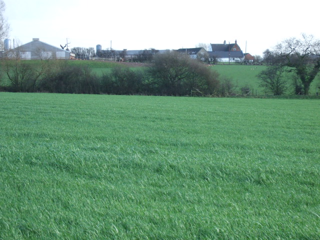
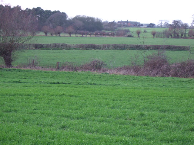
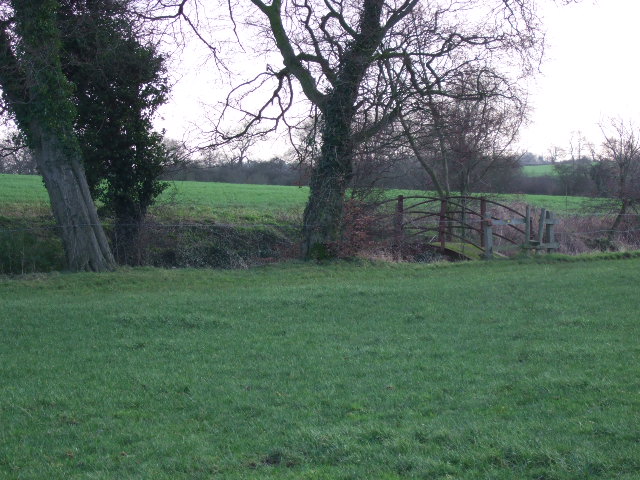
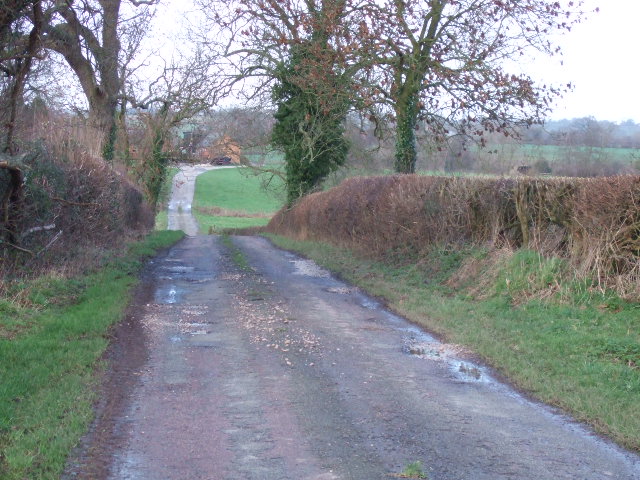
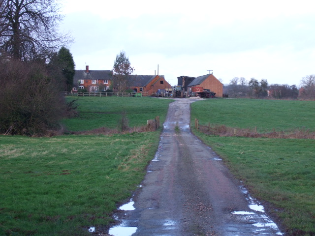
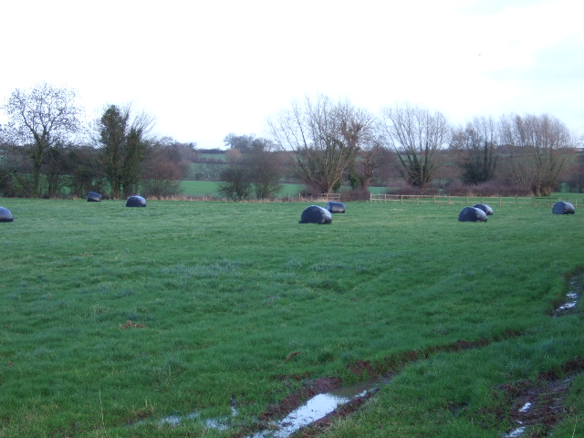
Dalbury Hollow Images

Images are sourced within 2km of 52.910169/-1.6073422 or Grid Reference SK2634. Thanks to Geograph Open Source API. All images are credited.

Etwall to Derby cycle track On a bright warm morningin May, the May blossom (Hawthorn) is showing up well all along the cycle track.
Etwall to Derby cycle track
On a bright warm morningin May, the May blossom (Hawthorn) is showing up well all along the cycle track.
Ashefields Nursing Home
Railway Bridge on Etwall to Mickleover Track This railway bridge used to carry the line from Burton-on-Trent to Derby Friargate station.  The line closed to passenger traffic in the 1960s but remained open for a while as a test track.  The line has now gone but the trackbed now forms the Etwall to Mickleover cycle way.
Railway Bridge on Etwall to Mickleover Track
This railway bridge used to carry the line from Burton-on-Trent to Derby Friargate station. The line closed to passenger traffic in the 1960s but remained open for a while as a test track. The line has now gone but the trackbed now forms the Etwall to Mickleover cycle way.
Rock House Farm Rock House Farm on a quiet lane just outside the village of Lees.
Rock House Farm
Rock House Farm on a quiet lane just outside the village of Lees.
Lane near Rookhills View of Rookhills on the quiet lane between the villages of Lees and Dalbury.
Lane near Rookhills
View of Rookhills on the quiet lane between the villages of Lees and Dalbury.
Dalbury Church All Saints church at Dalbury is one of the 'Longford 8'.  This is a grouping of a number of small parishes that are located in the rural areas to the west of Derby.
Dalbury Church
All Saints church at Dalbury is one of the 'Longford 8'. This is a grouping of a number of small parishes that are located in the rural areas to the west of Derby.
Bearwardcote Hall Bearwardcote Hall near Dalbury has found a new use as a private nursing home.
Bearwardcote Hall
Bearwardcote Hall near Dalbury has found a new use as a private nursing home.
Daysclose Plantation on the Radbourne Estate The trees here line Radbourne Brook that flows through the grounds of Radbourne Hall.
Daysclose Plantation on the Radbourne Estate
The trees here line Radbourne Brook that flows through the grounds of Radbourne Hall.
Smerills Farm Smerills Farm on the edge of the Radbourne Hall estate.
Smerills Farm
Smerills Farm on the edge of the Radbourne Hall estate.
Dalbury Brook The unusual footbridge over the brook.
Dalbury Brook
The unusual footbridge over the brook.
Highfields Farm Taken from the path near the brook.
Highfields Farm
Taken from the path near the brook.
Farmland The willow trees in the middle distance have been harvested for basket making.
Farmland
The willow trees in the middle distance have been harvested for basket making.
Approaching Dalbury Brook The footpath near the brook.
Approaching Dalbury Brook
The footpath near the brook.
Taylors Lane The single track lane to the farms.
Taylors Lane
The single track lane to the farms.
Broad Close Farm Situated at the top of the lane near Trusley village.
Broad Close Farm
Situated at the top of the lane near Trusley village.
Silage Bales Last year's silage crop near the brook.
Silage Bales
Last year's silage crop near the brook.
Sheep grazing Fields at the side of the track
Sheep grazing
Fields at the side of the track
Trusley Church Trusley church in the afternoon sun.
Trusley Church
Trusley church in the afternoon sun.
Show me another place!

Dalbury Hollow is located at Grid Ref: SK2634 (Lat: 52.910169, Lng: -1.6073422)

Administrative County: Derbyshire

District: South Derbyshire

Police Authority: Derbyshire

What 3 Words

///assess.overpower.enthused. Near Etwall, Derbyshire

Nearby Locations

Dalbury Dalbury Hollow

Related Wikis

Dalbury Lees

Dalbury Lees is a parish in south Derbyshire. The population of the civil parish as taken at the 2011 Census (including Trusley) was 306. It is about...

All Saints' Church, Dalbury

All Saints’ Church, Dalbury is a Grade II* listed parish church in the Church of England in Dalbury Lees, Derbyshire. == History == The church dates from...

Trusley

Trusley is a parish and small village in South Derbyshire. As the civil parish population is only minimal details are included in the civil parish of Dalbury...

Ash, Derbyshire

Ash is a small civil parish in the South Derbyshire district of Derbyshire, with a population of 98 (2001 census). The parish includes scattered hamlets...
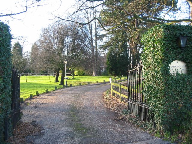
Bearwardcote

Bearwardcote is a civil parish in the South Derbyshire district of Derbyshire, England. According to the 2001 census it had a population of 26. The hamlet...
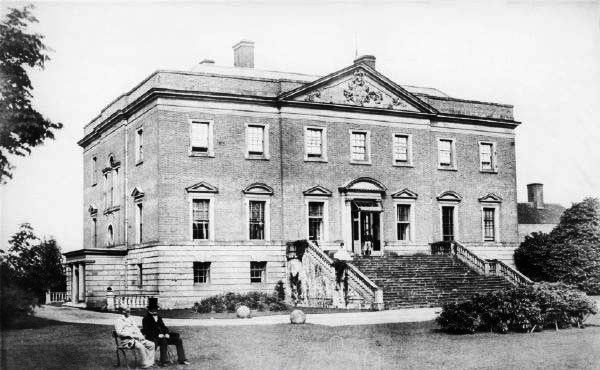
Radbourne Hall

Radbourne Hall is an 18th-century Georgian country house, the seat of the Chandos-Pole family, at Radbourne, Derbyshire. It is a Grade I listed building...

Radbourne, Derbyshire

Radbourne is a small village and civil parish in the English county of Derbyshire, a few miles west of Derby. As the population of the civil parish taken...

St Andrew's Church, Radbourne

St Andrew's Church, Radbourne is a Grade I listed parish church in the Church of England in Radbourne, Derbyshire. == History == The church dates from...

Nearby Amenities

Located within 500m of 52.910169,-1.6073422
Barrier: stile
Steps: 1
Stile: stepover
Lat/Long: 52.9074259/-1.6093744
Barrier: stile
Step Count: 1
Stile: stepover
Lat/Long: 52.9100239/-1.6089345
Barrier: stile
Steps: 1
Stile: stepover
Lat/Long: 52.9099411/-1.6089546
Barrier: cattle_grid
Lat/Long: 52.9100596/-1.6103208
Fixme: Longer than this
Lat/Long: 52.9142308/-1.6082761
Barrier: stile
Step Count: 1
Stile: stepover
Lat/Long: 52.9121556/-1.6077892
Information: route_marker
Tourism: information
Lat/Long: 52.9099698/-1.6102161
Power: pole
Source: Bing
Lat/Long: 52.9078647/-1.6054474
Power: pole
Source: Bing
Lat/Long: 52.9077618/-1.6066637
Power: pole
Source: Bing
Lat/Long: 52.9094313/-1.61191
Power: pole
Source: Bing
Lat/Long: 52.9110121/-1.6001839
Power: pole
Source: Bing
Lat/Long: 52.9081951/-1.610068
Power: pole
Source: Bing
Lat/Long: 52.9088029/-1.6109754
Power: pole
Source: Bing
Lat/Long: 52.908367/-1.6023646
Power: pole
Source: Bing
Lat/Long: 52.9080364/-1.6044619
Power: pole
Source: Bing
Lat/Long: 52.9082002/-1.6034514
Power: pole
Source: Bing
Lat/Long: 52.909434/-1.6005397
Power: pole
Source: Bing
Lat/Long: 52.907657/-1.6079037
Power: pole
Source: Bing
Lat/Long: 52.9086531/-1.6007154
Power: pole
Source: Bing
Lat/Long: 52.9111875/-1.61453
Power: pole
Source: Bing
Lat/Long: 52.9100201/-1.6128032
Power: pole
Source: Bing
Lat/Long: 52.9105826/-1.613643
Power: pole
Source: Bing
Lat/Long: 52.9075522/-1.609089
Direction: SSE
Generator Method: photovoltaic
Generator Output Electricity: yes
Generator Solar Modules: 40
Generator Source: solar
Generator Type: solar_photovoltaic_panel
Location: roof
Power: generator
Lat/Long: 52.9107307/-1.6069409
The data included in this document is from www.openstreetmap.org. The data is made available under ODbL.

Have you been to Dalbury Hollow?

Leave your review of Dalbury Hollow below (or comments, questions and feedback).