Commonside

Settlement in Nottinghamshire Ashfield

England

Commonside

Old farm on Mansfield Road, Selston
Old farm on Mansfield Road, Selston Credit: Neil Theasby

Commonside is a small village located in the county of Nottinghamshire, England. Situated approximately 8 miles southwest of the city of Nottingham, it is nestled within the picturesque countryside of the East Midlands region. Despite its rural setting, Commonside benefits from its close proximity to nearby towns such as Ruddington and West Bridgford, which offer a range of amenities and services.

The village itself is characterized by its charming and tranquil atmosphere, making it an ideal retreat for those seeking a quiet and peaceful lifestyle. Commonside is home to a close-knit community, with a population of around 500 residents. The village is predominantly residential, with a mix of traditional cottages and modern houses.

Surrounded by rolling hills and scenic landscapes, Commonside boasts several walking and cycling trails, making it a haven for outdoor enthusiasts. The village is also within easy reach of various parks and nature reserves, providing ample opportunities for nature lovers to explore and enjoy the stunning surroundings.

Whilst Commonside may be small in size, it offers a range of local amenities to cater to the needs of its residents. These include a community center, a village hall, and a local pub, which serves as a popular meeting spot for locals. Additionally, the village benefits from excellent transport links, with regular bus services connecting it to the nearby towns and surrounding areas.

Overall, Commonside is a charming and idyllic village that offers a tranquil lifestyle amidst beautiful countryside surroundings. Its close-knit community, range of amenities, and convenient location make it an attractive place to live for those seeking a peaceful retreat in Nottinghamshire.

If you have any feedback on the listing, please let us know in the comments section below.
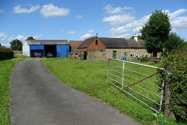
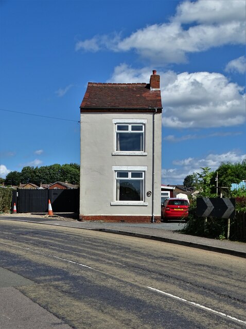
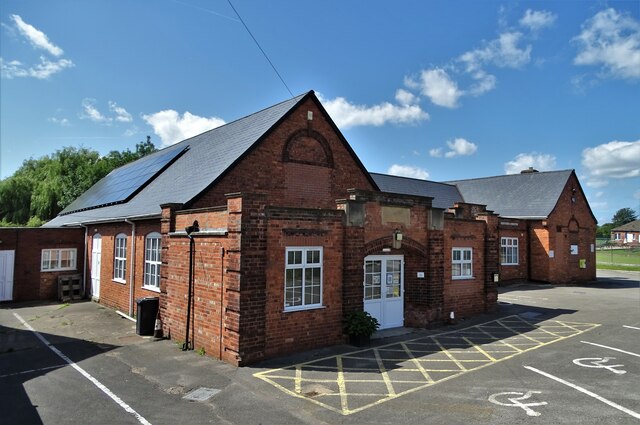
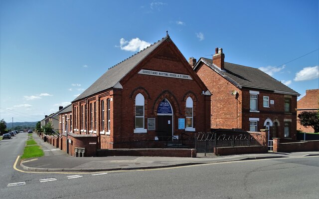
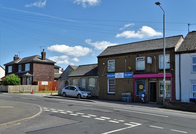
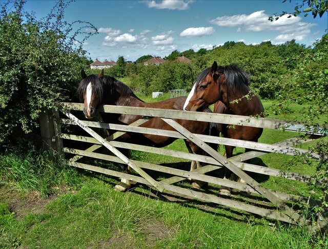
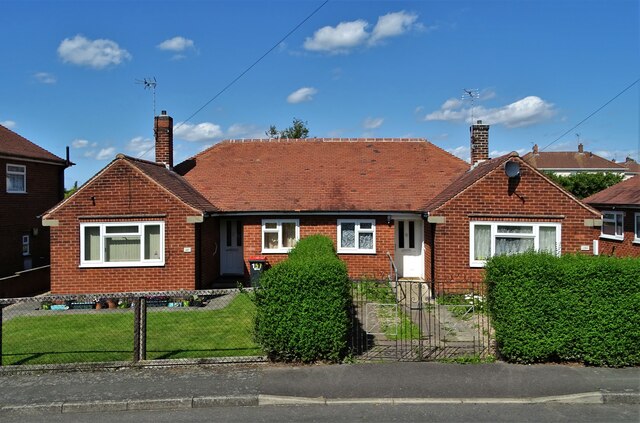
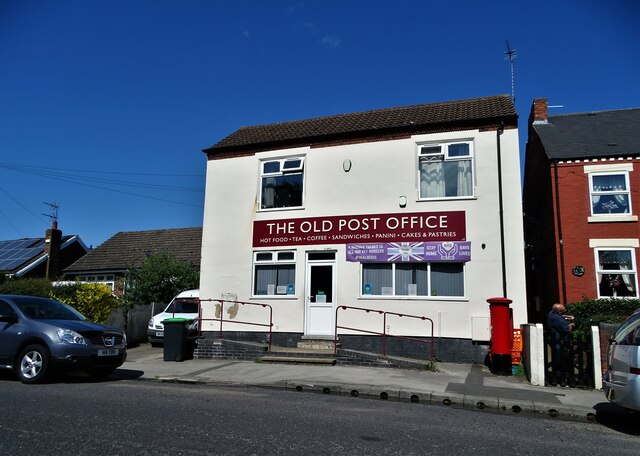
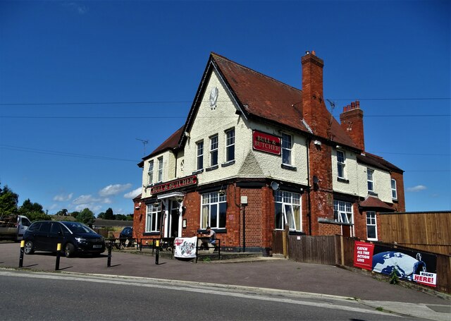
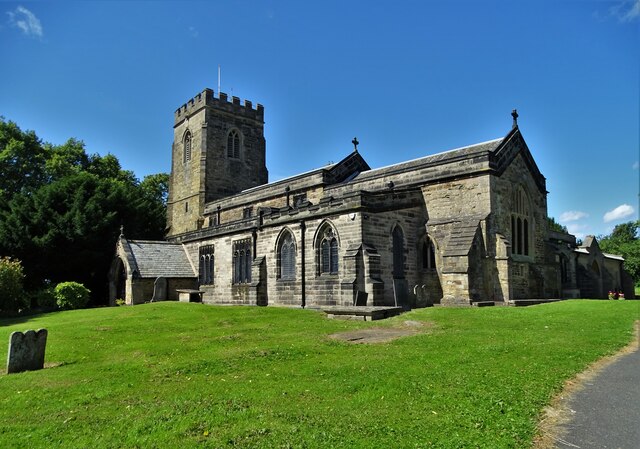
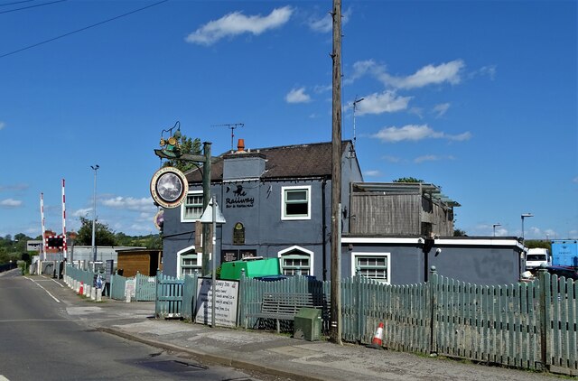
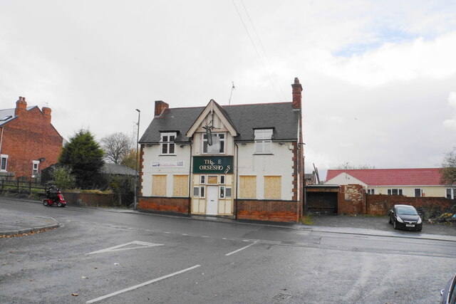
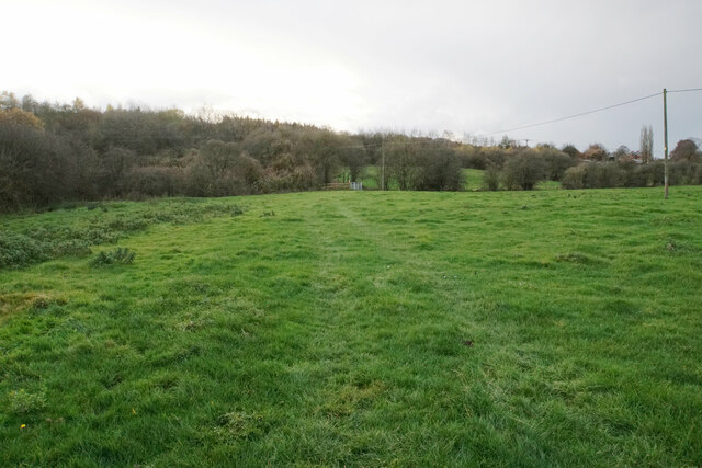
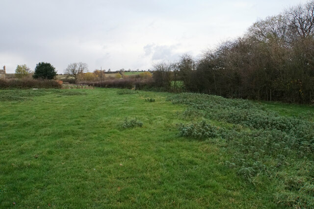
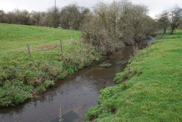
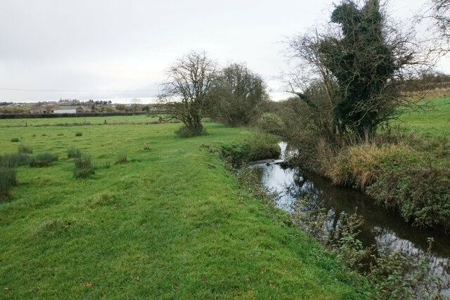
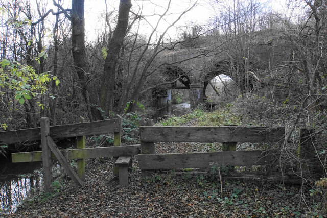
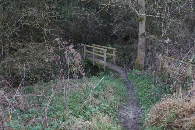
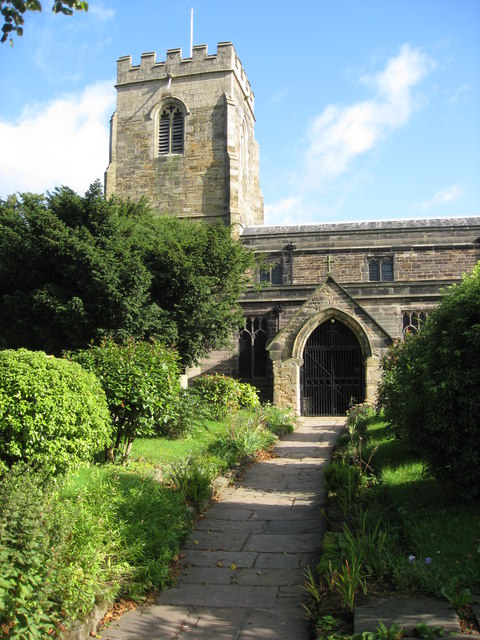
Commonside Images

Images are sourced within 2km of 53.078408/-1.3037684 or Grid Reference SK4653. Thanks to Geograph Open Source API. All images are credited.

Old farm on Mansfield Road, Selston
House on Mansfield Road, Selston
Selston Parish Hall on Mansfield Road
Christians Meeting House in Selston
Ken's Newsagents and Off Licence, Selston Oddly, this area of Selston is known as Skegness. It's a long way from the sea.
Ken's Newsagents and Off Licence, Selston
Oddly, this area of Selston is known as Skegness. It's a long way from the sea.
Horses at a gate, Nottingham Road, Selston Common
Semi-detached bungalows, Selston On Nottingham Road.
Semi-detached bungalows, Selston
On Nottingham Road.
"The Old Post Office" on Alfreton Road, Selston Now a cafe and takeaway.
"The Old Post Office" on Alfreton Road, Selston
Now a cafe and takeaway.
"The Bull and Butcher", Alfreton Road, Selston
St Helen's Church, Selston Green "The stone structure which now comprises St Helen’s church was started in the middle of the 12th century, and it seems to have been built in its entirety over a fairly short period of time. Several items within the church date from this early period of its history, including the Norman font and two carved stone slabs. It would seem that Selston was fairly wealthy at this stage, as in 1171 the parish was sending two shillings a year as a Pentecostal offering to Southwell, a high amount compared to other parishes in the area."
(Copied from Southwell and Nottingham Church History Project)
St Helen's Church, Selston Green
"The stone structure which now comprises St Helen’s church was started in the middle of the 12th century, and it seems to have been built in its entirety over a fairly short period of time. Several items within the church date from this early period of its history, including the Norman font and two carved stone slabs. It would seem that Selston was fairly wealthy at this stage, as in 1171 the parish was sending two shillings a year as a Pentecostal offering to Southwell, a high amount compared to other parishes in the area." (Copied from Southwell and Nottingham Church History Project)
"The Railway Inn", Station Road, New Selston
Sad-looking pub in Pinxton This pub was put on the market a couple of years ago, but there do not seem to have been any buyers.
Sad-looking pub in Pinxton
This pub was put on the market a couple of years ago, but there do not seem to have been any buyers.
Footpath to Kirkby Park The path is in the Erewash valley and the river flows where the gate can be seen ahead. A bit of Lower Portland Farm can be seen in the trees.
Footpath to Kirkby Park
The path is in the Erewash valley and the river flows where the gate can be seen ahead. A bit of Lower Portland Farm can be seen in the trees.
Path to Kirkby-in-Ashfield The path will go past Meadow Farm which is seen on the left.
Path to Kirkby-in-Ashfield
The path will go past Meadow Farm which is seen on the left.
River Erewash The river is noted for marking the boundary between Derbyshire and Nottinghamshire but this early part of its course is all in Nottinghamshire.
River Erewash
The river is noted for marking the boundary between Derbyshire and Nottinghamshire but this early part of its course is all in Nottinghamshire.
Path to Kirkby-in-Ashfield Kirkby-in-Ashfield is seen on the hill ahead. The path runs beside the River Erewash.
Path to Kirkby-in-Ashfield
Kirkby-in-Ashfield is seen on the hill ahead. The path runs beside the River Erewash.
Path to Pinxton The path follows the north side of the River Erewash. It is about to go under a dismantled railway which used to service Bentinck Colliery.
Path to Pinxton
The path follows the north side of the River Erewash. It is about to go under a dismantled railway which used to service Bentinck Colliery.
Footpath to Selston The path has to cross the River Erewash here, before running alongside the M1 motorway for a bit.
Footpath to Selston
The path has to cross the River Erewash here, before running alongside the M1 motorway for a bit.
Show me another place!

Commonside is located at Grid Ref: SK4653 (Lat: 53.078408, Lng: -1.3037684)

Administrative County: Nottinghamshire

District: Ashfield

Police Authority: Nottinghamshire

What 3 Words

///deck.yoga.assess. Near Pinxton, Derbyshire

Related Wikis

Selston F.C.

Selston F.C. is a football club based in Selston, Nottinghamshire. They are currently members of the United Counties League Division One and play at the...

Selston High School

Selston High School is a mixed secondary school that educates students aged 11–16. It is located in Selston, Nottinghamshire, England. The headteacher...

Pinxton and Selston railway station

Pinxton and Selston railway station served the villages of Pinxton, Derbyshire and Selston, Nottinghamshire. It was located on the Midland Railway's Mansfield...

Selston

Selston is a large village and civil parish in the Ashfield District of Nottinghamshire, England. It is situated 12 miles (19.3 km) north-northwest of...

Nearby Amenities

Located within 500m of 53.078408,-1.3037684
Bus Stop
Church Lane
Bus: yes
Naptan AtcoCode: 3300AS0027
Naptan Bearing: SE
Naptan CommonName: Church Lane
Naptan Crossing: Church Lane
Naptan Indicator: opp
Naptan NaptanCode: ntsdwgap
Naptan Notes: none
Naptan Street: Commonside
Naptan Verified: no
Public Transport: platform
Source: naptan_import
Lat/Long: 53.0807614/-1.3082153
Bus Stop
Park Lane
Bus: yes
Naptan AtcoCode: 3300AS0033
Naptan Bearing: NE
Naptan CommonName: Park Lane
Naptan Crossing: Portland Road
Naptan Indicator: NE-bound
Naptan NaptanCode: ntsdwgdm
Naptan Notes: none
Naptan Street: Park Lane
Naptan Verified: no
Public Transport: platform
Source: naptan_import
Lat/Long: 53.0782377/-1.2978807
Bus Stop
Commonside
Bus: yes
Naptan AtcoCode: 3300AS0041
Naptan Bearing: SE
Naptan CommonName: Commonside
Naptan Indicator: SE-bound
Naptan Landmark: Hillbank Farm
Naptan NaptanCode: ntsdtwgm
Naptan Notes: none
Naptan Street: Commonside
Naptan Verified: yes
Public Transport: platform
Source: naptan_import
Lat/Long: 53.079147/-1.3051008
Bus Stop
Mansfield Road
Bus: yes
Naptan AtcoCode: 3300AS0042
Naptan Bearing: SE
Naptan CommonName: Mansfield Road
Naptan Crossing: Mansfield Road
Naptan Indicator: SE-bound
Naptan NaptanCode: ntsdtwgp
Naptan Notes: none
Naptan Street: Commonside
Naptan Verified: yes
Public Transport: platform
Source: naptan_import
Lat/Long: 53.0770605/-1.3010048
Bus Stop
Mansfield Road
Bus: yes
Naptan AtcoCode: 3300AS0043
Naptan Bearing: NW
Naptan CommonName: Mansfield Road
Naptan Crossing: Mansfield Road
Naptan Indicator: NW-bound
Naptan NaptanCode: ntsdtwgt
Naptan Notes: none
Naptan Street: Commonside
Naptan Verified: yes
Public Transport: platform
Source: naptan_import
Lat/Long: 53.077016/-1.3010802
Bus Stop
Portland Road
Bus: yes
Naptan AtcoCode: 3300AS0155
Naptan Bearing: SE
Naptan CommonName: Portland Road
Naptan Crossing: Mansfield Road
Naptan Indicator: SE-bound
Naptan NaptanCode: ntsdwamt
Naptan Notes: none
Naptan Street: Portland Road
Naptan Verified: yes
Public Transport: platform
Source: naptan_import
Lat/Long: 53.0775781/-1.2973092
Bus Stop
Portland Road
Bus: yes
Naptan AtcoCode: 3300AS0156
Naptan Bearing: NW
Naptan CommonName: Portland Road
Naptan Crossing: Mansfield Road
Naptan Indicator: NW-bound
Naptan NaptanCode: ntsdwjda
Naptan Notes: none
Naptan Street: Portland Road
Naptan Verified: yes
Public Transport: platform
Source: naptan_import
Lat/Long: 53.0775883/-1.2975181
Bus Stop
Commonside
Bus: yes
Naptan AtcoCode: 3300AS0304
Naptan Bearing: NW
Naptan CommonName: Commonside
Naptan Indicator: NW-bound
Naptan Landmark: Hillbank Farm
Naptan NaptanCode: ntsgagmg
Naptan Notes: None
Naptan Street: Commonside
Naptan Verified: yes
Public Transport: platform
Source: naptan_import
Lat/Long: 53.0791598/-1.305356
Pub
Horse And Jockey
Description Floor: stone
Ele: 107
Food: no
Real Ale: Adnams Old, London Pride, Greene King Abbott, Timothy Taylor Landlord, Oldershaw Sunnydaze (varies)
Lat/Long: 53.0808592/-1.30951
Bench
Ele: 143.6015625
Lat/Long: 53.077834/-1.2981952
Bench
Ele: 133.9884033
Lat/Long: 53.0768658/-1.300511
Post Box
Ele: 133.7480469
Lat/Long: 53.0768744/-1.3004485
Barrier: kissing_gate
Lat/Long: 53.0777792/-1.3055427
Turning Circle
Lat/Long: 53.0780558/-1.3008469
Disused Amenity: fast_food
Former Name: Selston Pizza
Lat/Long: 53.077/-1.2996559
Barrier: kissing_gate
Lat/Long: 53.0763708/-1.3093803
Barrier: kissing_gate
Lat/Long: 53.0769033/-1.3079888
Barrier: kissing_gate
Lat/Long: 53.0763693/-1.3093185
BIS Nationwide
Shop: insurance
Lat/Long: 53.07692/-1.3004048
Generator Method: photovoltaic
Generator Output Electricity: yes
Generator Source: solar
Generator Type: solar_photovoltaic_panel
Location: roof
Power: generator
Lat/Long: 53.0757088/-1.2979191
Generator Method: photovoltaic
Generator Output Electricity: yes
Generator Source: solar
Generator Type: solar_photovoltaic_panel
Location: roof
Power: generator
Lat/Long: 53.0758232/-1.2986916
Generator Method: photovoltaic
Generator Output Electricity: yes
Generator Source: solar
Generator Type: solar_photovoltaic_panel
Location: roof
Power: generator
Lat/Long: 53.0757007/-1.2985253
Generator Method: photovoltaic
Generator Output Electricity: yes
Generator Source: solar
Generator Type: solar_photovoltaic_panel
Location: roof
Power: generator
Lat/Long: 53.0756448/-1.2984286
Direction: SE
Generator Method: photovoltaic
Generator Output Electricity: yes
Generator Solar Modules: 18
Generator Source: solar
Generator Type: solar_photovoltaic_panel
Location: roof
Power: generator
Lat/Long: 53.0759598/-1.2989575
Direction: SE
Generator Method: photovoltaic
Generator Output Electricity: yes
Generator Solar Modules: 18
Generator Source: solar
Generator Type: solar_photovoltaic_panel
Location: roof
Power: generator
Lat/Long: 53.0758932/-1.2993456
Direction: SE
Generator Method: photovoltaic
Generator Output Electricity: yes
Generator Solar Modules: 16
Generator Source: solar
Generator Type: solar_photovoltaic_panel
Location: roof
Power: generator
Lat/Long: 53.0757874/-1.2995498
Generator Method: photovoltaic
Generator Output Electricity: yes
Generator Source: solar
Generator Type: solar_photovoltaic_panel
Location: roof
Power: generator
Lat/Long: 53.0754734/-1.2989676
Generator Method: photovoltaic
Generator Output Electricity: yes
Generator Source: solar
Generator Type: solar_photovoltaic_panel
Location: roof
Power: generator
Lat/Long: 53.0754057/-1.2988871
Generator Method: photovoltaic
Generator Output Electricity: yes
Generator Source: solar
Generator Type: solar_photovoltaic_panel
Location: roof
Power: generator
Lat/Long: 53.0746903/-1.3000271
Generator Method: photovoltaic
Generator Output Electricity: yes
Generator Source: solar
Generator Type: solar_photovoltaic_panel
Location: roof
Power: generator
Lat/Long: 53.0751962/-1.3000458
Generator Method: photovoltaic
Generator Output Electricity: yes
Generator Source: solar
Generator Type: solar_photovoltaic_panel
Location: roof
Power: generator
Lat/Long: 53.0741617/-1.3015801
Direction: WSW
Generator Method: photovoltaic
Generator Output Electricity: yes
Generator Solar Modules: 7
Generator Source: solar
Generator Type: solar_photovoltaic_panel
Location: roof
Power: generator
Lat/Long: 53.0744408/-1.3025206
Direction: WSW
Generator Method: photovoltaic
Generator Output Electricity: yes
Generator Solar Modules: 12
Generator Source: solar
Generator Type: solar_photovoltaic_panel
Location: roof
Power: generator
Lat/Long: 53.0741792/-1.3030241
Generator Method: photovoltaic
Generator Output Electricity: yes
Generator Source: solar
Generator Type: solar_photovoltaic_panel
Location: roof
Power: generator
Lat/Long: 53.0766287/-1.2984285
Generator Method: photovoltaic
Generator Output Electricity: yes
Generator Source: solar
Generator Type: solar_photovoltaic_panel
Location: roof
Power: generator
Lat/Long: 53.0778163/-1.2964946
Generator Method: photovoltaic
Generator Output Electricity: yes
Generator Source: solar
Generator Type: solar_photovoltaic_panel
Location: roof
Power: generator
Lat/Long: 53.0777212/-1.2967977
Generator Method: photovoltaic
Generator Output Electricity: yes
Generator Source: solar
Generator Type: solar_photovoltaic_panel
Location: roof
Power: generator
Lat/Long: 53.0779596/-1.2964195
Generator Method: photovoltaic
Generator Output Electricity: yes
Generator Source: solar
Generator Type: solar_photovoltaic_panel
Location: roof
Power: generator
Lat/Long: 53.0782014/-1.2967065
Generator Method: photovoltaic
Generator Output Electricity: yes
Generator Source: solar
Generator Type: solar_photovoltaic_panel
Location: roof
Power: generator
Lat/Long: 53.078582/-1.2963772
Generator Method: photovoltaic
Generator Output Electricity: yes
Generator Source: solar
Generator Type: solar_photovoltaic_panel
Location: roof
Power: generator
Lat/Long: 53.0786433/-1.296506
Generator Method: photovoltaic
Generator Output Electricity: yes
Generator Source: solar
Generator Type: solar_photovoltaic_panel
Location: roof
Power: generator
Lat/Long: 53.0771684/-1.2970115
Generator Method: photovoltaic
Generator Output Electricity: yes
Generator Source: solar
Generator Type: solar_photovoltaic_panel
Location: roof
Power: generator
Lat/Long: 53.0754019/-1.299419
Generator Method: photovoltaic
Generator Output Electricity: yes
Generator Source: solar
Generator Type: solar_photovoltaic_panel
Location: roof
Power: generator
Lat/Long: 53.0815991/-1.3083668
Direction: SE
Generator Method: photovoltaic
Generator Output Electricity: yes
Generator Solar Modules: 10
Generator Source: solar
Generator Type: solar_photovoltaic_panel
Location: roof
Power: generator
Lat/Long: 53.0771854/-1.2993781
Direction: SE
Generator Method: photovoltaic
Generator Output Electricity: yes
Generator Solar Modules: 10
Generator Source: solar
Generator Type: solar_photovoltaic_panel
Location: roof
Power: generator
Lat/Long: 53.0773172/-1.2991197
Direction: SE
Generator Method: photovoltaic
Generator Output Electricity: yes
Generator Solar Modules: 6
Generator Source: solar
Generator Type: solar_photovoltaic_panel
Location: roof
Power: generator
Lat/Long: 53.0770931/-1.299535
Direction: ENE
Generator Method: photovoltaic
Generator Output Electricity: yes
Generator Solar Modules: 6
Generator Source: solar
Generator Type: solar_photovoltaic_panel
Location: roof
Power: generator
Lat/Long: 53.0744532/-1.3024311
Direction: 175
Generator Method: photovoltaic
Generator Output Electricity: yes
Generator Solar Modules: 14
Generator Source: solar
Generator Type: solar_photovoltaic_panel
Location: roof
Power: generator
Lat/Long: 53.0804317/-1.3053013
Direction: SSE
Generator Method: photovoltaic
Generator Output Electricity: yes
Generator Solar Modules: 16
Generator Source: solar
Generator Type: solar_photovoltaic_panel
Location: roof
Power: generator
Lat/Long: 53.0742792/-1.3029877
Direction: 80
Generator Method: photovoltaic
Generator Output Electricity: yes
Generator Solar Modules: 8
Generator Source: solar
Generator Type: solar_photovoltaic_panel
Location: roof
Power: generator
Lat/Long: 53.0745308/-1.3033846
Direction: 260
Generator Method: photovoltaic
Generator Output Electricity: yes
Generator Solar Modules: 7
Generator Source: solar
Generator Type: solar_photovoltaic_panel
Location: roof
Power: generator
Lat/Long: 53.074532/-1.3034286
Generator Method: photovoltaic
Generator Output Electricity: yes
Generator Source: solar
Generator Type: solar_photovoltaic_panel
Location: roof
Power: generator
Lat/Long: 53.0782685/-1.2972452
Direction: SE
Generator Method: photovoltaic
Generator Output Electricity: yes
Generator Solar Modules: 16
Generator Source: solar
Generator Type: solar_photovoltaic_panel
Location: roof
Power: generator
Lat/Long: 53.0778067/-1.3019656
Direction: 80
Generator Method: photovoltaic
Generator Output Electricity: yes
Generator Solar Modules: 8
Generator Source: solar
Generator Type: solar_photovoltaic_panel
Location: roof
Power: generator
Lat/Long: 53.0745666/-1.3033965
Direction: 120
Man Made: surveillance
Surveillance: public
Surveillance Type: ALPR
Surveillance Zone: traffic
Lat/Long: 53.0783727/-1.3037787
The data included in this document is from www.openstreetmap.org. The data is made available under ODbL.

Have you been to Commonside?

Leave your review of Commonside below (or comments, questions and feedback).