Commonside
Settlement in Staffordshire Staffordshire Moorlands
England
Commonside
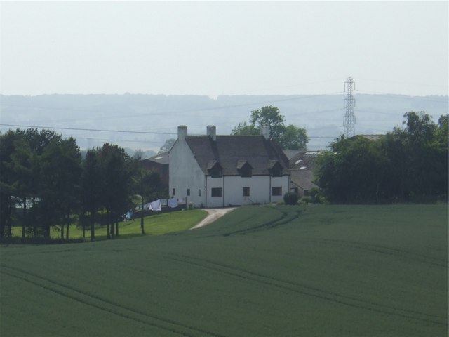
Commonside is a small village located in the county of Staffordshire, England. Situated in the rural countryside, it is nestled amidst rolling hills and picturesque landscapes. The village is part of the Staffordshire Moorlands district and is about 7 miles southeast of the town of Leek.
Commonside is characterized by its quaint and peaceful atmosphere, offering residents and visitors a tranquil retreat from the bustling city life. The village is mainly residential, with a tight-knit community that takes pride in its close bonds and neighborly spirit. The houses in Commonside are typically traditional and charming, adding to the village's charm.
The village is surrounded by natural beauty, with vast green fields and woodlands in close proximity. This makes it an ideal location for outdoor activities such as walking, hiking, and cycling. The nearby Peak District National Park is also easily accessible, offering stunning scenery and a range of recreational opportunities.
Although Commonside is a small village, it benefits from its proximity to larger towns and cities. The town of Leek is just a short drive away, providing residents with access to a wider range of amenities, including shops, schools, and healthcare facilities.
Overall, Commonside offers a peaceful and idyllic setting for those seeking a rural lifestyle. Its natural beauty and strong sense of community make it an appealing place to live or visit for those seeking a slower pace of life in the heart of the English countryside.
If you have any feedback on the listing, please let us know in the comments section below.
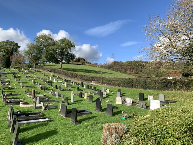
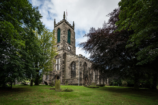
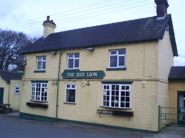
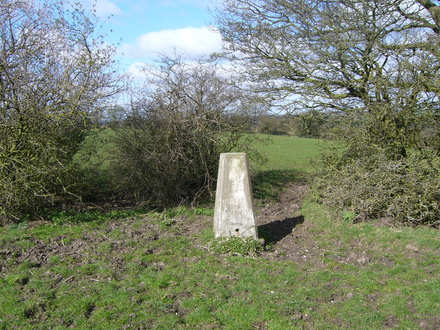
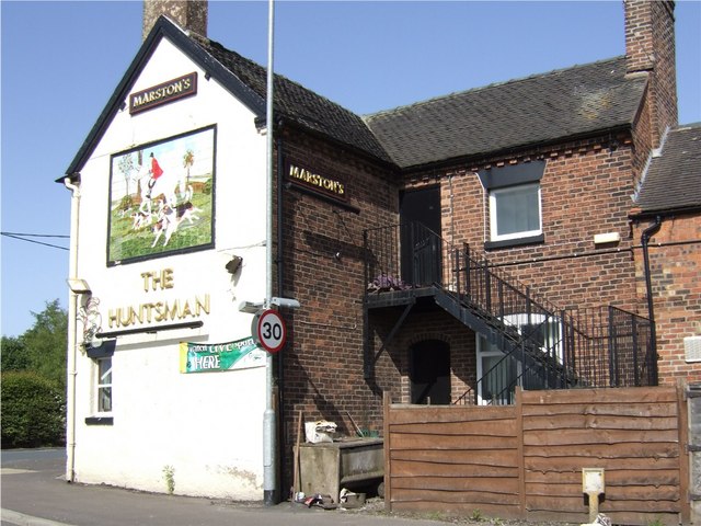
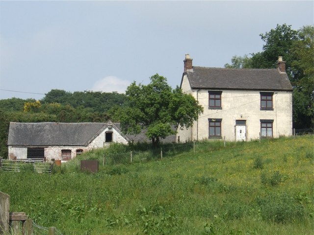
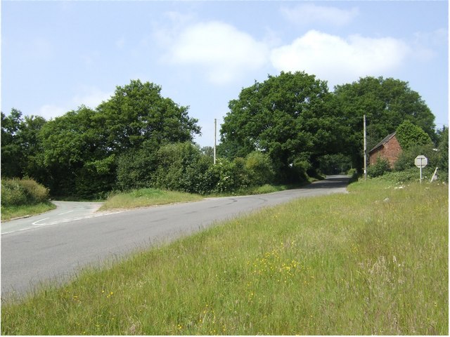
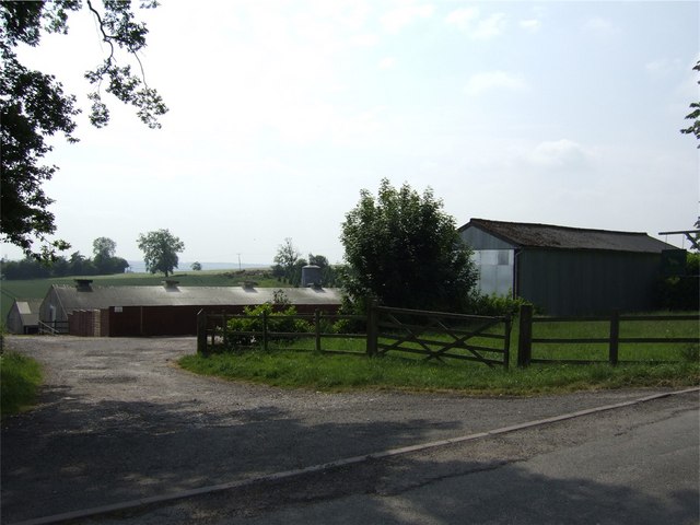
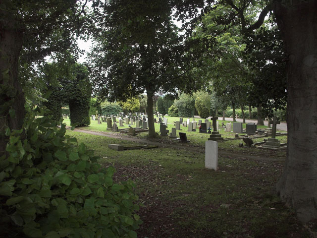
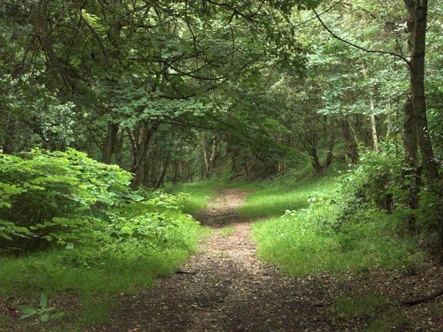
Commonside Images
Images are sourced within 2km of 52.975772/-2.0153571 or Grid Reference SJ9942. Thanks to Geograph Open Source API. All images are credited.


Commonside is located at Grid Ref: SJ9942 (Lat: 52.975772, Lng: -2.0153571)
Administrative County: Staffordshire
District: Staffordshire Moorlands
Police Authority: Staffordshire
What 3 Words
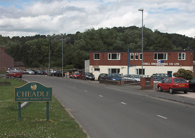
///dampen.afraid.darling. Near Cheadle, Staffordshire
Nearby Locations
Related Wikis

Boundary, Staffordshire
Boundary is a village in the civil parish of Forsbrook, in the Staffordshire Moorlands district, in the county of Staffordshire, England, near to the town...

Cheadle railway station
Cheadle railway station served the town of Cheadle, Staffordshire, England. It was the terminus of a branch line from Cresswell and opened in 1901. �...

Moorlands Sixth Form College
The Moorlands Sixth Form College is a Sixth Form College located in Cheadle, a historic market town in Staffordshire, England. The college caters for years...
The Cheadle Academy
The Cheadle Academy (formerly Cheadle High School) is a coeducational secondary school with academy status located in Cheadle, Staffordshire in the Midlands...
Painsley Catholic College
Painsley Catholic College is a Roman Catholic secondary school with academy status in Cheadle, Staffordshire, England. The name comes from Painsley Hall...
Tean Road Sports Ground
Tean Road Sports Ground is a cricket ground in Cheadle, Staffordshire. The ground is located south of the town centre along the Tean Road, which itself...

St Giles' Catholic Church, Cheadle
St. Giles' Church is a Roman Catholic church in the town of Cheadle, Staffordshire, England. The Grade I listed Gothic Revival church was designed by Augustus...
Cheadle, Staffordshire
Cheadle is a market town and civil parish in the Staffordshire Moorlands District of Staffordshire, England, with a population of 12,000 at the 2021 census...
Nearby Amenities
Located within 500m of 52.975772,-2.0153571Have you been to Commonside?
Leave your review of Commonside below (or comments, questions and feedback).