Clotherholme

Settlement in Yorkshire Harrogate

England

Clotherholme

Exposed Limestone On a bend of the River Laver, below Tate's Garden Centre, are several exposures of magnesian limestone.
Exposed Limestone Credit: Matthew Hatton

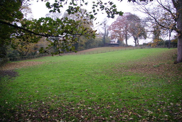
Clotherholme is a small village located in the county of Yorkshire, England. Situated in the Calder Valley, it is nestled amongst picturesque countryside and is surrounded by rolling hills and lush green fields. The village is part of the larger metropolitan borough of Calderdale.

Clotherholme is known for its tranquil atmosphere and close-knit community. It has a population of approximately 500 residents, making it a relatively small and peaceful place to live. The village is predominantly residential, with a scattering of small businesses and local amenities.

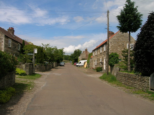
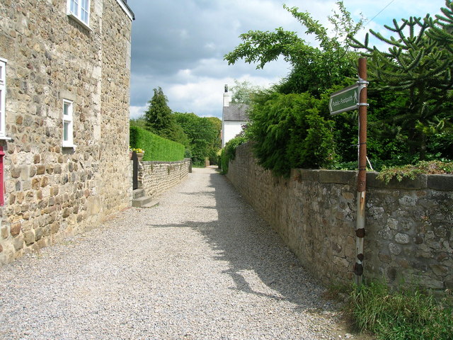
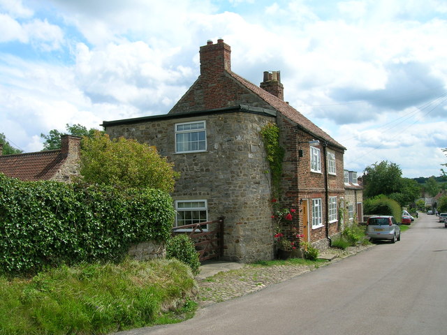
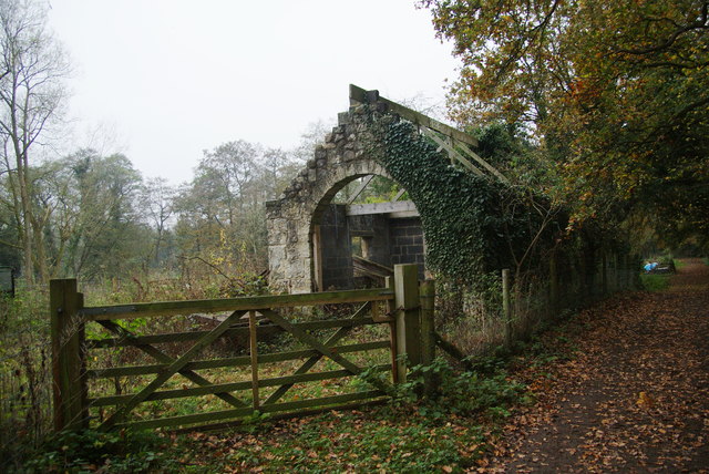
One of the notable features of Clotherholme is its charming architecture. Many of the buildings date back several centuries, reflecting the rich history of the area. Traditional stone cottages and farmhouses can be found throughout the village, adding to its rustic and picturesque charm.

The village is also home to a few amenities that serve the local community. These include a village hall, a post office, and a small convenience store. Although the amenities may be limited, the residents take pride in maintaining a strong sense of community and often organize social events and gatherings.

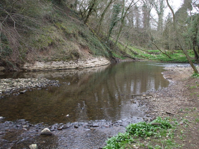
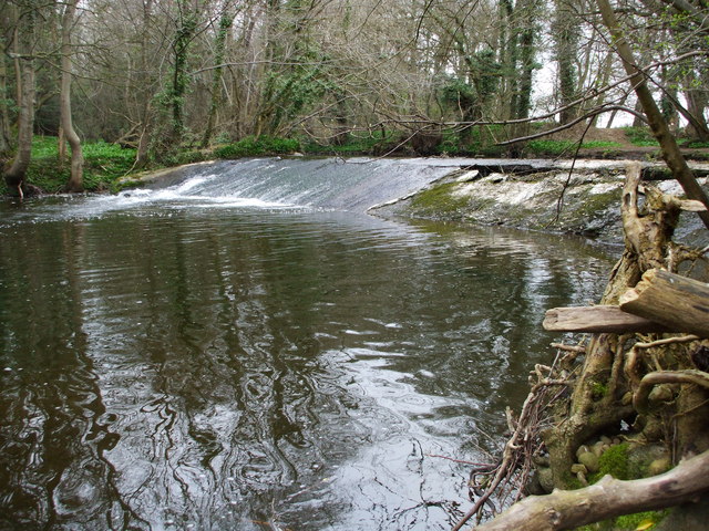
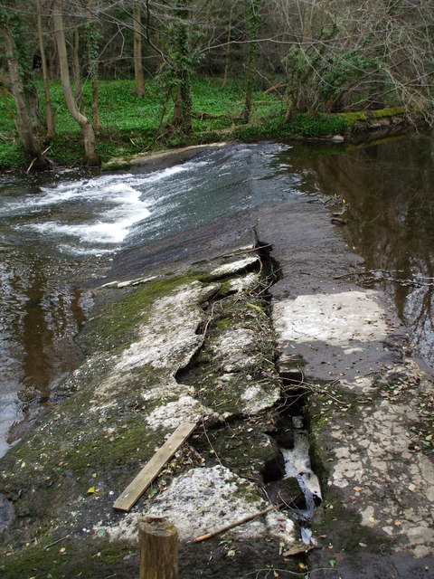
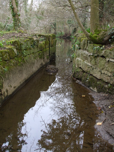
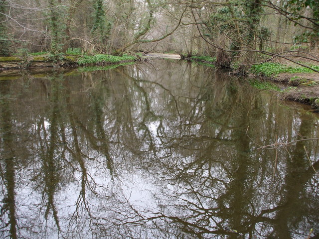
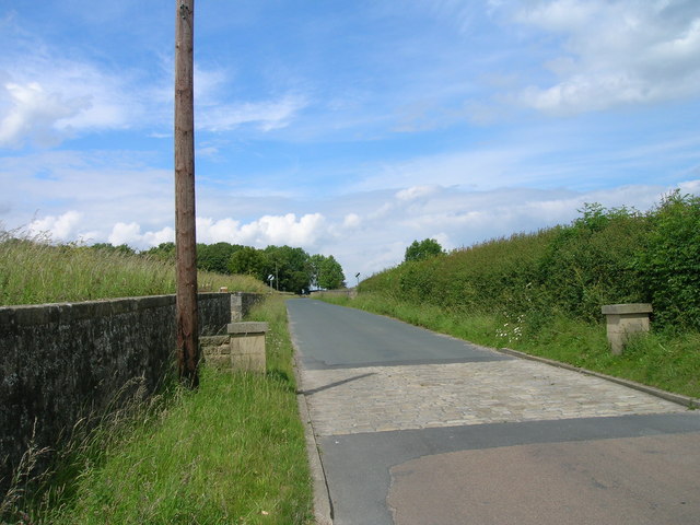
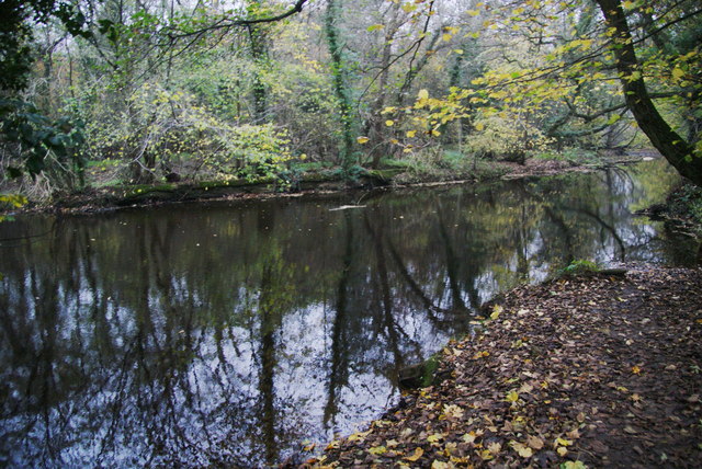
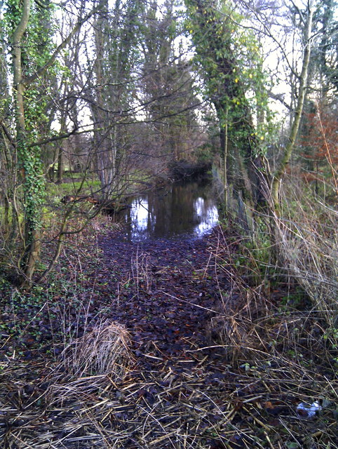
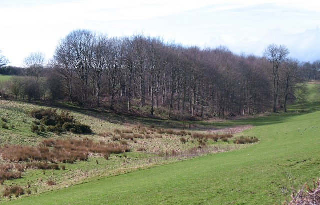
Clotherholme is surrounded by beautiful countryside, offering residents and visitors ample opportunities for outdoor activities. The area is popular for hiking, cycling, and horse riding, with numerous trails and paths to explore. The nearby Calder River provides a scenic spot for fishing and boating enthusiasts.

In summary, Clotherholme is a small village in Yorkshire that offers a peaceful and idyllic setting for its residents. With its historic architecture and stunning surrounding countryside, it is a place that embodies the beauty and charm of rural England.

If you have any feedback on the listing, please let us know in the comments section below.

Clotherholme Images

Images are sourced within 2km of 54.140742/-1.5491917 or Grid Reference SE2971. Thanks to Geograph Open Source API. All images are credited.

Exposed Limestone On a bend of the River Laver, below Tate's Garden Centre, are several exposures of magnesian limestone.
Exposed Limestone
On a bend of the River Laver, below Tate's Garden Centre, are several exposures of magnesian limestone.
Bishopton Weir Damming the River Laver to create a head of water for the old Bishopton Mill, this weir is now redundant.
Bishopton Weir
Damming the River Laver to create a head of water for the old Bishopton Mill, this weir is now redundant.
Crackin' Weir Bishopton Weir is in a poor state of repair, here it has lost its outer covering of concrete and is leaking badly.
Crackin' Weir
Bishopton Weir is in a poor state of repair, here it has lost its outer covering of concrete and is leaking badly.
No sluicegates! The start of the mill race for Bishopton Mill. Bishopton Mill burnt down in 1916 so I'd imagine that this cut has been without its sluice-gate for sometime.
No sluicegates!
The start of the mill race for Bishopton Mill. Bishopton Mill burnt down in 1916 so I'd imagine that this cut has been without its sluice-gate for sometime.
Laver Weirpool The widening of the River Laver here caused by Bishopton Weir to create a head of water for the now disused mill race to Bishopton Mill.
Laver Weirpool
The widening of the River Laver here caused by Bishopton Weir to create a head of water for the now disused mill race to Bishopton Mill.
Metal Edifice from Halifax Enormous cast iron saw bench, complete with rollers and drum for a belt drive.
Metal Edifice from Halifax
Enormous cast iron saw bench, complete with rollers and drum for a belt drive.
Studley Lane heading north
Footpath running east from Studley Roger
Cottage, Studley Roger
Studley Lane heading north
Horse field near Bishopton There were no horses in it today. The field is by the track to the site of Bishopton Mill.
Horse field near Bishopton
There were no horses in it today. The field is by the track to the site of Bishopton Mill.
Roofless shed near the allotments There are several allotments over to the left. The shed appears quite old but has had some partial renovation which doesn't yet extend to a roof. The track used to go to Bishopton Mill.
Roofless shed near the allotments
There are several allotments over to the left. The shed appears quite old but has had some partial renovation which doesn't yet extend to a roof. The track used to go to Bishopton Mill.
The River Laver above Bishopton Weir A good footpath ends at this point. I was hoping it would allow me to cross the river but I presume it originally just went to the mill which no longer exists.
The River Laver above Bishopton Weir
A good footpath ends at this point. I was hoping it would allow me to cross the river but I presume it originally just went to the mill which no longer exists.
Numerous signs at the entrance to River Laver Holiday Park
A footpath to Studley Roger leaving the B6265
Pony by the entrance to Parkfield Farm
Bishopton Mill Race Part of the old mill race as seen from the B6265 Studley Road.
Bishopton Mill Race
Part of the old mill race as seen from the B6265 Studley Road.
Dry valley near Sunley Raynes Dry valley in the gentle hill country to the west of Ripon. Is the valley dry because the underlying rock is permian limestone, or is it an abandoned glacial overflow channel, of which there are several in this area?
Dry valley near Sunley Raynes
Dry valley in the gentle hill country to the west of Ripon. Is the valley dry because the underlying rock is permian limestone, or is it an abandoned glacial overflow channel, of which there are several in this area?
Show me another place!

Clotherholme is located at Grid Ref: SE2971 (Lat: 54.140742, Lng: -1.5491917)

Division: West Riding

Administrative County: North Yorkshire

District: Harrogate

Police Authority: North Yorkshire

What 3 Words

///september.confident.seducing. Near Ripon, North Yorkshire

Related Wikis

Claro Barracks

Claro Barracks is a British Army installation in Ripon, North Yorkshire. It is set to close in 2026. == History == The barracks, which were originally...

Ripon Grammar School

Ripon Grammar School is a co-educational, boarding and day, selective grammar school in Ripon, North Yorkshire, England. It has been named top-performing...

Outwood Academy Ripon

Outwood Academy Ripon is a small mixed secondary school with academy status situated in the city of Ripon, in North Yorkshire, England. It provides for...
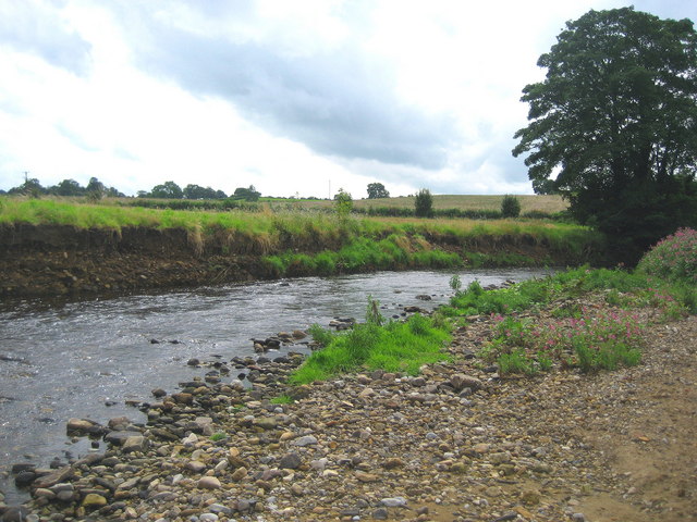
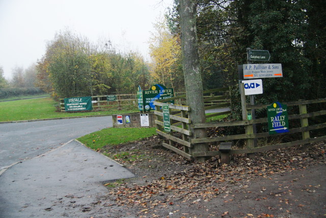
River Laver

The River Laver is a tributary of the River Skell, itself a tributary of the River Ure in North Yorkshire, England. The name is of Brittonic origin, from...
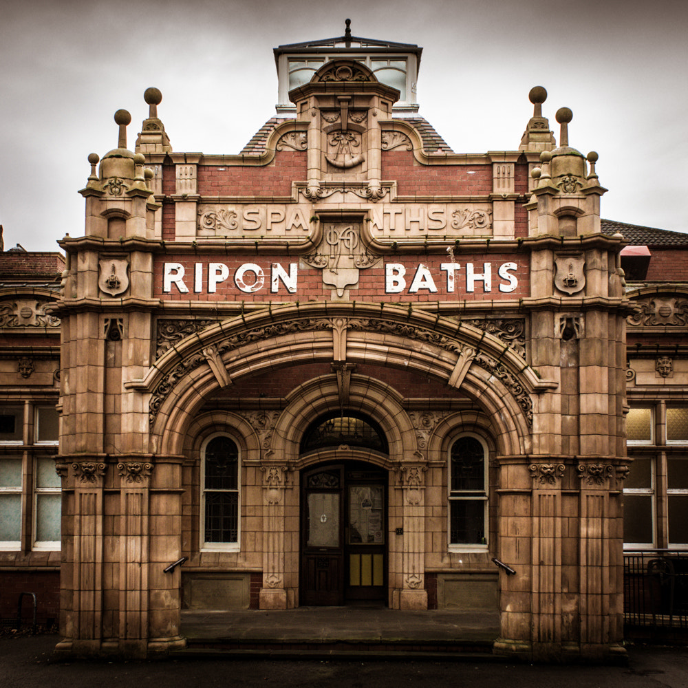
Ripon Spa Baths

The Ripon Spa Baths are a grade II listed building in Ripon, North Yorkshire, England. It was built between 1904–05 as a spa but failed to compete with...

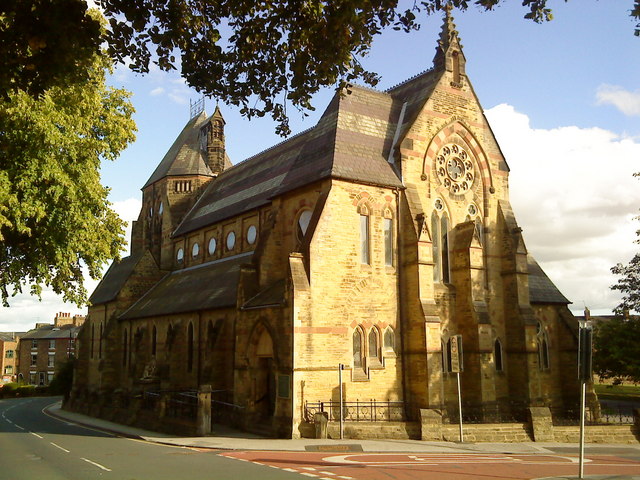
St Wilfrid's Church, Ripon

St Wilfrid's Church is a Roman Catholic parish church in Ripon, North Yorkshire, England. It was built from 1860 to 1862 and designed by Joseph Hansom...

Ripon Community Hospital

Ripon Community Hospital is a health facility in Firby Lane, Ripon, North Yorkshire, England. It is managed by Harrogate and District NHS Foundation Trust...

Liberty of Ripon

The Liberty of Ripon or Riponshire was a liberty possessing separate county jurisdiction, although situated within the county of Yorkshire, England. The...

Nearby Amenities

Located within 500m of 54.140742,-1.5491917
Noexit: yes
Lat/Long: 54.1398919/-1.5454194
Noexit: yes
Lat/Long: 54.1416951/-1.5456805
Noexit: yes
Lat/Long: 54.1407885/-1.5456613
Noexit: yes
Lat/Long: 54.1386487/-1.5496509
Post Office
Lark Lane Post Office
Addr City: Ripon
Addr Country: GB
Addr Housenumber: 32
Addr Postcode: HG4 2DQ
Addr Street: Clotherholme Road
Brand: Post Office
Brand Wikidata: Q1783168
Opening Hours: Mo-Sa 08:00-20:00
Ref Pol Id: 14685
Source: OS OpenData StreetView
Website: https://www.postoffice.co.uk/branch-finder/4103238/lark-lane
Lat/Long: 54.1392635/-1.5424542
Telephone
Booth: KX100
Covered: booth
Lat/Long: 54.1392414/-1.5425325
Post Box
Post Box Type: pillar
Ref: HG4 36
Royal Cypher: EIIR
Royal Cypher Wikidata: Q33102113
Lat/Long: 54.1392164/-1.5424195
Landuse: military
Lat/Long: 54.1447238/-1.5505404
Traffic Calming: cushion
Lat/Long: 54.1380825/-1.5479178
Turning Circle
Lat/Long: 54.1386078/-1.549794
Noexit: yes
Lat/Long: 54.138021/-1.5492198
Crossing
Lat/Long: 54.1395457/-1.5467611
Crossing
Lat/Long: 54.1396126/-1.5469699
Crossing
Lat/Long: 54.1396452/-1.546934
Crossing
Lat/Long: 54.139652/-1.5470741
Crossing
Lat/Long: 54.1397487/-1.5472825
Crossing
Lat/Long: 54.139849/-1.5474816
Crossing
Lat/Long: 54.1398813/-1.5475398
Crossing
Lat/Long: 54.1399912/-1.5477374
Crossing
Lat/Long: 54.1401108/-1.5479502
Crossing
Lat/Long: 54.1402115/-1.548132
Crossing
Lat/Long: 54.1402487/-1.5481991
Crossing
Lat/Long: 54.1403563/-1.5483951
Crossing
Lat/Long: 54.1404562/-1.5485808
Crossing
Lat/Long: 54.1404911/-1.5486457
Crossing
Lat/Long: 54.1405899/-1.5488261
Crossing
Lat/Long: 54.1403858/-1.5424594
Crossing
Lat/Long: 54.1406594/-1.5428781
Crossing
Lat/Long: 54.14039/-1.5425153
Crossing
Lat/Long: 54.1401325/-1.5425083
Crossing
Lat/Long: 54.1404289/-1.5432676
Crossing
Lat/Long: 54.1398813/-1.5428
Traffic Calming: hump
Lat/Long: 54.1396854/-1.5481808
Traffic Calming: hump
Lat/Long: 54.1395135/-1.5487093
Addr Housenumber: 68
Lat/Long: 54.1397013/-1.5466502
Noexit: yes
Lat/Long: 54.1415926/-1.5470888
The data included in this document is from www.openstreetmap.org. The data is made available under ODbL.

Have you been to Clotherholme?

Leave your review of Clotherholme below (or comments, questions and feedback).