Bishopton

Settlement in Yorkshire Harrogate

England

Bishopton

Exposed Limestone On a bend of the River Laver, below Tate's Garden Centre, are several exposures of magnesian limestone.
Exposed Limestone Credit: Matthew Hatton

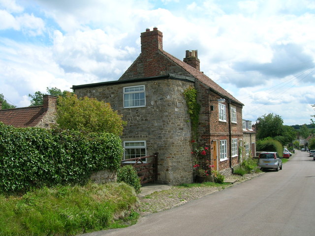
Bishopton is a village located in the county of Yorkshire, England. Situated in the borough of Harrogate, it lies approximately 5 miles northeast of the town of Ripon and 20 miles northwest of the city of York. The village is nestled in the picturesque countryside, surrounded by rolling hills and green fields.

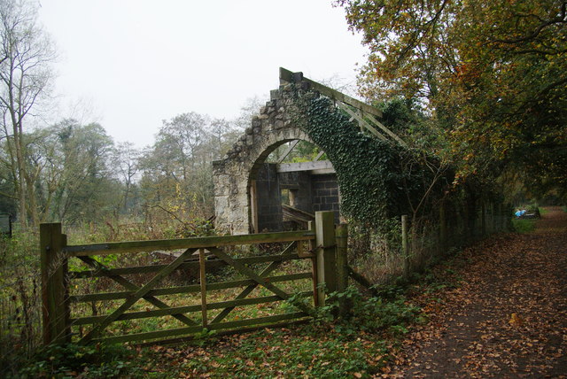
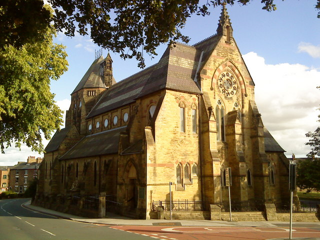
Bishopton has a rich history, with evidence of human settlement in the area dating back to the Roman era. The village was mentioned in the Domesday Book of 1086, indicating its importance during medieval times. Today, it retains much of its traditional charm, with several well-preserved historic buildings, including St. Peter's Church, which dates back to the 12th century.

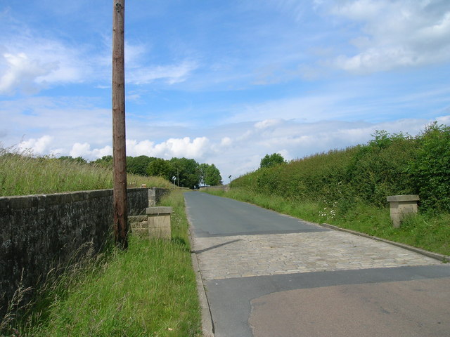
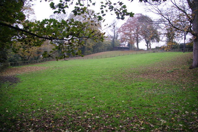
Although small in size, Bishopton offers a range of amenities for its residents and visitors. The village boasts a primary school, a community center, and a local pub, providing a focal point for social gatherings. The surrounding countryside offers opportunities for outdoor activities such as walking, cycling, and horse riding, with several scenic trails and bridleways in the vicinity.

Transport links in Bishopton are convenient, with regular bus services connecting the village to nearby towns and cities. The A1(M) motorway is just a short drive away, providing easy access to major transportation routes.

Overall, Bishopton is a charming village in Yorkshire that offers a peaceful and idyllic setting amidst the beauty of the English countryside. Its rich history, picturesque surroundings, and amenities make it an attractive place to live or visit.

If you have any feedback on the listing, please let us know in the comments section below.
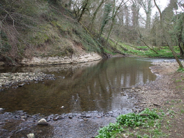
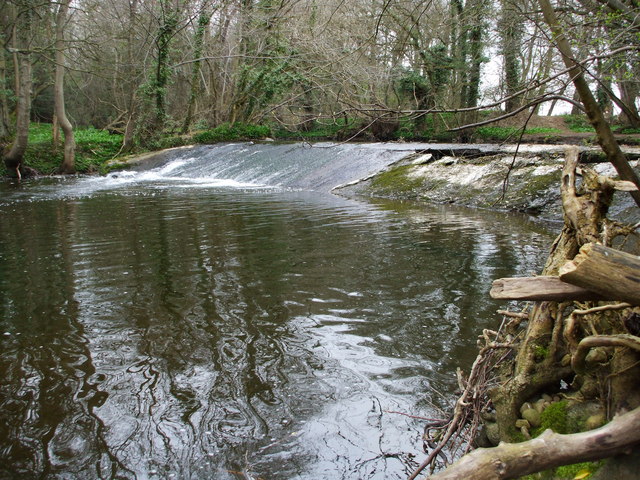
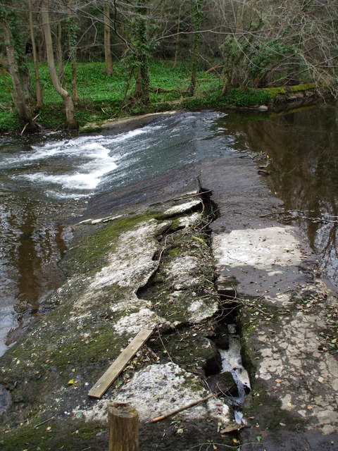
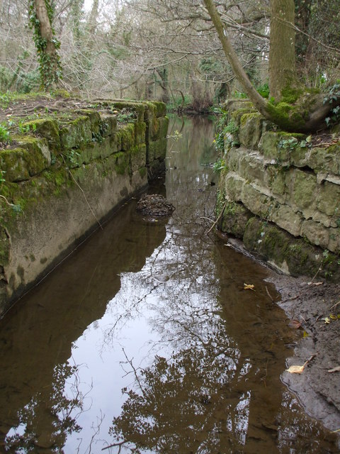
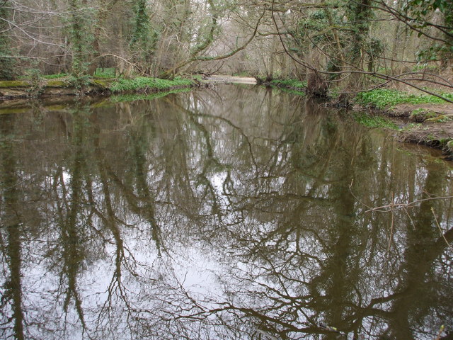
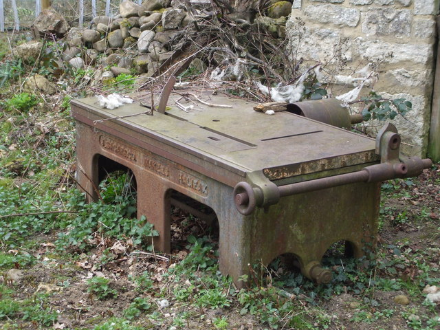
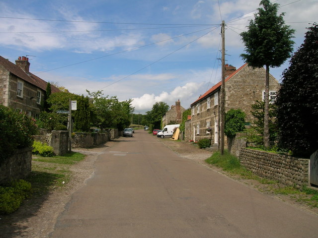
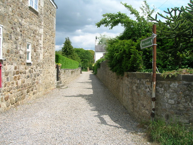
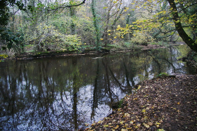
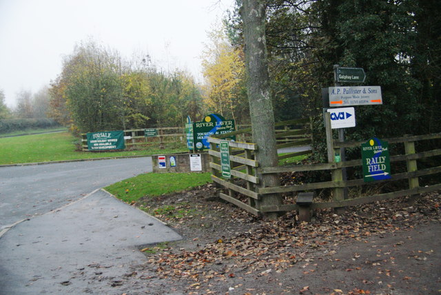
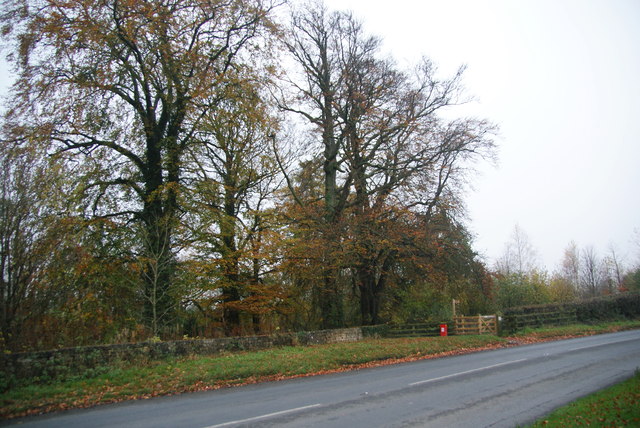
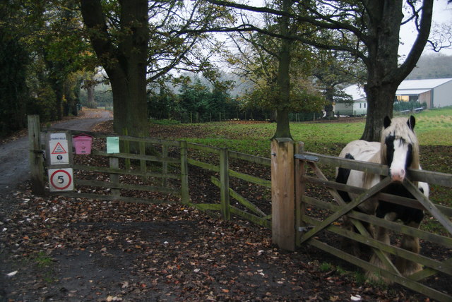
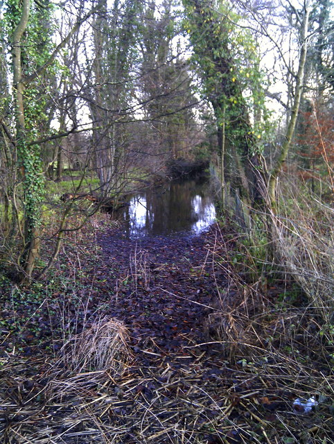
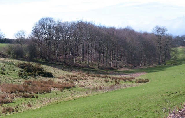
Bishopton Images

Images are sourced within 2km of 54.135691/-1.543254 or Grid Reference SE2971. Thanks to Geograph Open Source API. All images are credited.

Exposed Limestone On a bend of the River Laver, below Tate's Garden Centre, are several exposures of magnesian limestone.
Exposed Limestone
On a bend of the River Laver, below Tate's Garden Centre, are several exposures of magnesian limestone.
Bishopton Weir Damming the River Laver to create a head of water for the old Bishopton Mill, this weir is now redundant.
Bishopton Weir
Damming the River Laver to create a head of water for the old Bishopton Mill, this weir is now redundant.
Crackin' Weir Bishopton Weir is in a poor state of repair, here it has lost its outer covering of concrete and is leaking badly.
Crackin' Weir
Bishopton Weir is in a poor state of repair, here it has lost its outer covering of concrete and is leaking badly.
No sluicegates! The start of the mill race for Bishopton Mill. Bishopton Mill burnt down in 1916 so I'd imagine that this cut has been without its sluice-gate for sometime.
No sluicegates!
The start of the mill race for Bishopton Mill. Bishopton Mill burnt down in 1916 so I'd imagine that this cut has been without its sluice-gate for sometime.
Laver Weirpool The widening of the River Laver here caused by Bishopton Weir to create a head of water for the now disused mill race to Bishopton Mill.
Laver Weirpool
The widening of the River Laver here caused by Bishopton Weir to create a head of water for the now disused mill race to Bishopton Mill.
Metal Edifice from Halifax Enormous cast iron saw bench, complete with rollers and drum for a belt drive.
Metal Edifice from Halifax
Enormous cast iron saw bench, complete with rollers and drum for a belt drive.
Studley Lane heading north
Footpath running east from Studley Roger
Cottage, Studley Roger
Studley Lane heading north
Horse field near Bishopton There were no horses in it today. The field is by the track to the site of Bishopton Mill.
Horse field near Bishopton
There were no horses in it today. The field is by the track to the site of Bishopton Mill.
Roofless shed near the allotments There are several allotments over to the left. The shed appears quite old but has had some partial renovation which doesn't yet extend to a roof. The track used to go to Bishopton Mill.
Roofless shed near the allotments
There are several allotments over to the left. The shed appears quite old but has had some partial renovation which doesn't yet extend to a roof. The track used to go to Bishopton Mill.
The River Laver above Bishopton Weir A good footpath ends at this point. I was hoping it would allow me to cross the river but I presume it originally just went to the mill which no longer exists.
The River Laver above Bishopton Weir
A good footpath ends at this point. I was hoping it would allow me to cross the river but I presume it originally just went to the mill which no longer exists.
Numerous signs at the entrance to River Laver Holiday Park
A footpath to Studley Roger leaving the B6265
Pony by the entrance to Parkfield Farm
Bishopton Mill Race Part of the old mill race as seen from the B6265 Studley Road.
Bishopton Mill Race
Part of the old mill race as seen from the B6265 Studley Road.
Dry valley near Sunley Raynes Dry valley in the gentle hill country to the west of Ripon. Is the valley dry because the underlying rock is permian limestone, or is it an abandoned glacial overflow channel, of which there are several in this area?
Dry valley near Sunley Raynes
Dry valley in the gentle hill country to the west of Ripon. Is the valley dry because the underlying rock is permian limestone, or is it an abandoned glacial overflow channel, of which there are several in this area?
Show me another place!

Bishopton is located at Grid Ref: SE2971 (Lat: 54.135691, Lng: -1.543254)

Division: West Riding

Administrative County: North Yorkshire

District: Harrogate

Police Authority: North Yorkshire

What 3 Words

///curated.expressed.honestly. Near Ripon, North Yorkshire

Related Wikis

Outwood Academy Ripon

Outwood Academy Ripon is a small mixed secondary school with academy status situated in the city of Ripon, in North Yorkshire, England. It provides for...

Ripon Grammar School

Ripon Grammar School is a co-educational, boarding and day, selective grammar school in Ripon, North Yorkshire, England. It has been named top-performing...
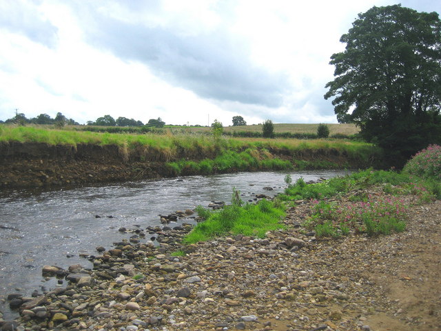
River Laver

The River Laver is a tributary of the River Skell, itself a tributary of the River Ure in North Yorkshire, England. The name is of Brittonic origin, from...

Claro Barracks

Claro Barracks is a British Army installation in Ripon, North Yorkshire. It is set to close in 2026. == History == The barracks, which were originally...
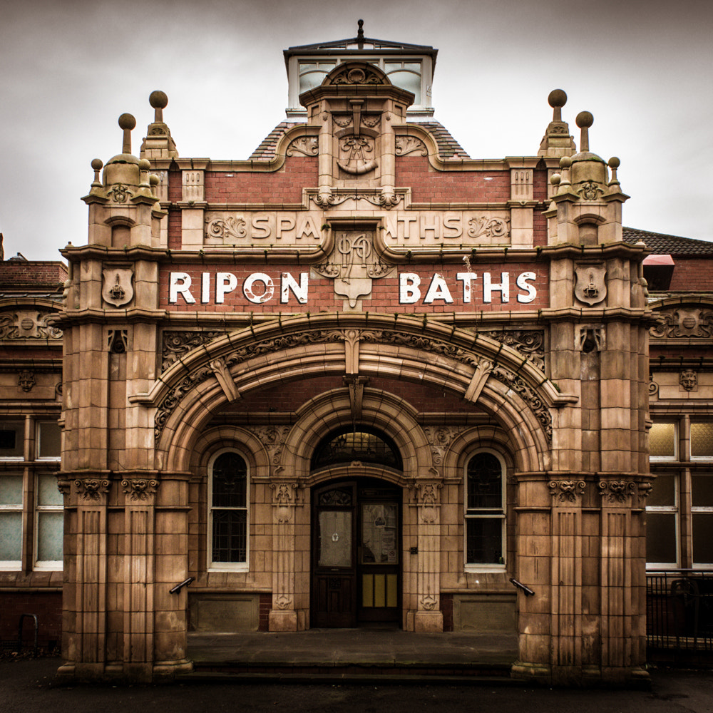
Ripon Spa Baths

The Ripon Spa Baths are a grade II listed building in Ripon, North Yorkshire, England. It was built between 1904–05 as a spa but failed to compete with...

Ripon Community Hospital

Ripon Community Hospital is a health facility in Firby Lane, Ripon, North Yorkshire, England. It is managed by Harrogate and District NHS Foundation Trust...

St Wilfrid's Church, Ripon

St Wilfrid's Church is a Roman Catholic parish church in Ripon, North Yorkshire, England. It was built from 1860 to 1862 and designed by Joseph Hansom...

The Wakeman's House

The Wakeman's House is a historic building in Ripon, a city in Yorkshire, in England. The building was constructed as a house in the 16th or early 17th...

Nearby Amenities

Located within 500m of 54.135691,-1.543254
Mini Roundabout
Direction: clockwise
Lat/Long: 54.1343417/-1.5399508
Noexit: yes
Lat/Long: 54.1371102/-1.5406816
Noexit: yes
Lat/Long: 54.1398919/-1.5454194
Post Office
Lark Lane Post Office
Addr City: Ripon
Addr Country: GB
Addr Housenumber: 32
Addr Postcode: HG4 2DQ
Addr Street: Clotherholme Road
Brand: Post Office
Brand Wikidata: Q1783168
Opening Hours: Mo-Sa 08:00-20:00
Ref Pol Id: 14685
Source: OS OpenData StreetView
Website: https://www.postoffice.co.uk/branch-finder/4103238/lark-lane
Lat/Long: 54.1392635/-1.5424542
Post Box
Brand: Royal Mail
Brand Wikidata: Q638098
Collection Times: Mo-Fr 17:30; Sa 13:15
Operator: Royal Mail
Operator Wikidata: Q638098
Ref: HG4 12
Source: survey
Lat/Long: 54.1347042/-1.5395353
Telephone
Booth: KX100
Covered: booth
Lat/Long: 54.1392414/-1.5425325
Post Box
Post Box Type: pillar
Ref: HG4 36
Royal Cypher: EIIR
Royal Cypher Wikidata: Q33102113
Lat/Long: 54.1392164/-1.5424195
Barrier: stile
Lat/Long: 54.1330733/-1.5456343
Barrier: stile
Lat/Long: 54.1334409/-1.5480341
Barrier: stile
Lat/Long: 54.1334327/-1.5481669
Noexit: yes
Lat/Long: 54.1354991/-1.5487436
Noexit: yes
Lat/Long: 54.1357665/-1.5484097
Turning Circle
Lat/Long: 54.1324249/-1.546338
Traffic Calming: cushion
Lat/Long: 54.1380825/-1.5479178
Noexit: yes
Lat/Long: 54.138021/-1.5492198
Turning Loop
Lat/Long: 54.1319106/-1.5393197
Crossing
Lat/Long: 54.1395457/-1.5467611
Crossing
Lat/Long: 54.1396126/-1.5469699
Crossing
Lat/Long: 54.1401325/-1.5425083
Crossing
Lat/Long: 54.1398813/-1.5428
Barrier: stile
Lat/Long: 54.134242/-1.5402751
Barrier: kissing_gate
Lat/Long: 54.1322129/-1.5442532
Barrier: stile
Lat/Long: 54.1347066/-1.5428548
Noexit: yes
Lat/Long: 54.1378222/-1.5408171
Noexit: yes
Lat/Long: 54.137872/-1.5408216
Traffic Calming: table
Lat/Long: 54.138273/-1.5393738
Crossing
Crossing: uncontrolled
Crossing Ref: zebra
Lat/Long: 54.1380346/-1.5396203
Noexit: yes
Lat/Long: 54.1383986/-1.5414801
Noexit: yes
Lat/Long: 54.1383027/-1.5414687
Addr Housenumber: 68
Lat/Long: 54.1397013/-1.5466502
The data included in this document is from www.openstreetmap.org. The data is made available under ODbL.

Have you been to Bishopton?

Leave your review of Bishopton below (or comments, questions and feedback).