Paddy Wood

Wood, Forest in Yorkshire Harrogate

England

Paddy Wood

Exposed Limestone On a bend of the River Laver, below Tate's Garden Centre, are several exposures of magnesian limestone.
Exposed Limestone Credit: Matthew Hatton

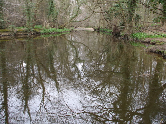
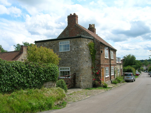
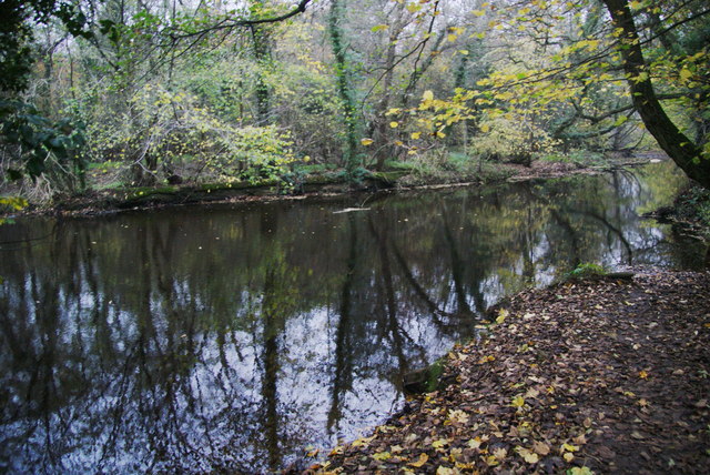
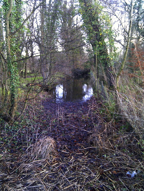
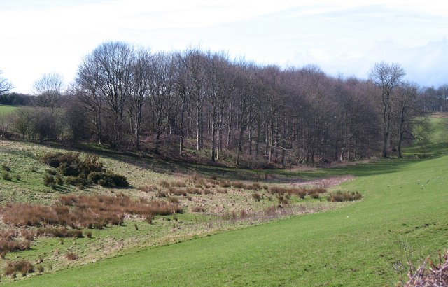
Paddy Wood, located in Yorkshire, England, is a picturesque forest known for its natural beauty and tranquil atmosphere. Covering an area of approximately 500 acres, the wood is home to a variety of tree species, including oak, beech, ash, and birch, creating a diverse and vibrant ecosystem.

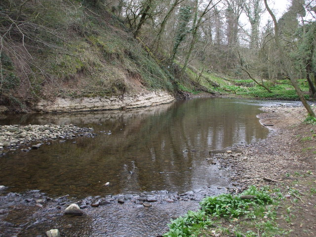
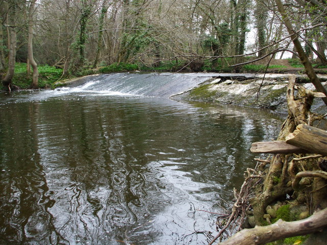
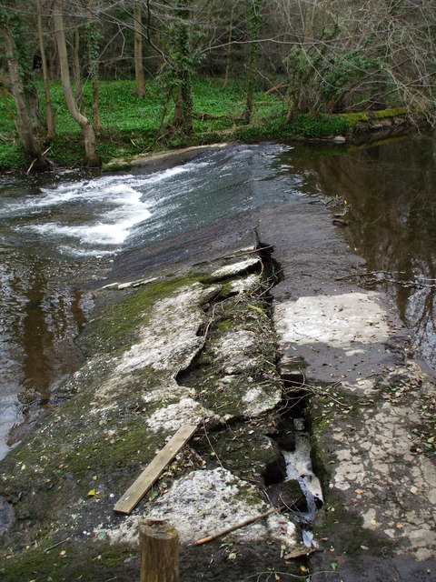
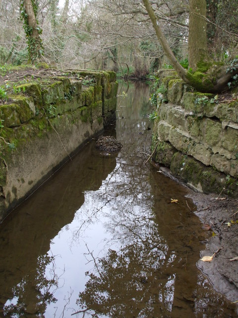
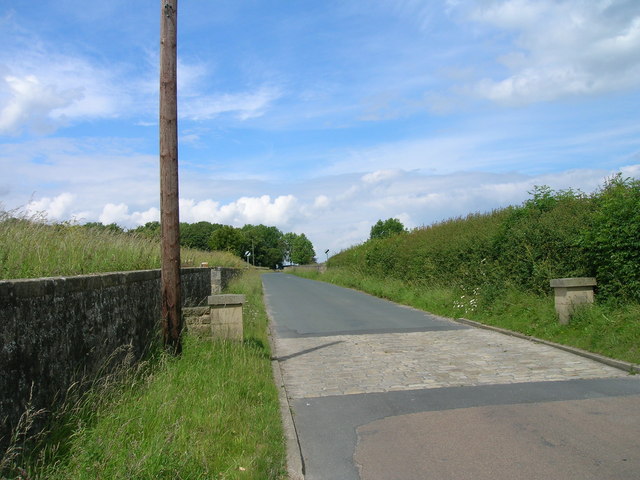
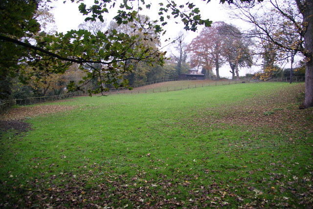
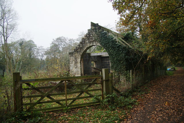
The forest is a popular destination for nature lovers, hikers, and wildlife enthusiasts, offering a range of walking trails that wind through its enchanting pathways. Visitors can explore the wood's dense foliage, taking in the sights and sounds of birds chirping, leaves rustling in the breeze, and the gentle flow of a nearby stream. As they venture deeper into the forest, they may also come across a small lake, adding to the area's natural charm.

Wildlife thrives in Paddy Wood, with numerous species calling it home. Squirrels, rabbits, and deer are commonly spotted, alongside a rich variety of birdlife, including woodpeckers, owls, and various songbirds. The wood's diverse vegetation provides ample food and habitat for these animals, making it an important ecological site.

Paddy Wood offers a peaceful retreat from the hustle and bustle of city life, providing an opportunity for visitors to reconnect with nature and enjoy its tranquility. Whether it's a leisurely walk, wildlife spotting, or simply admiring the wood's natural beauty, Paddy Wood is a destination that promises a refreshing and rejuvenating experience for all who visit.

If you have any feedback on the listing, please let us know in the comments section below.
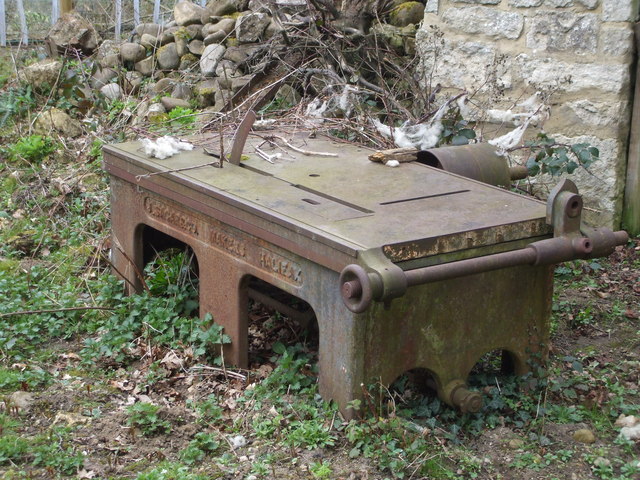
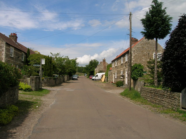
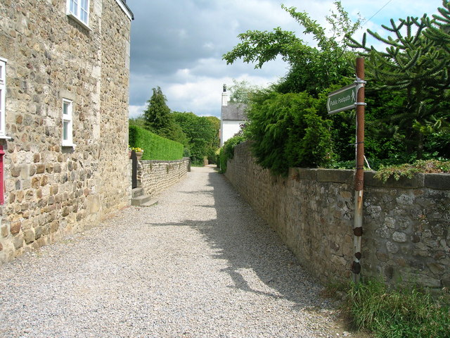
Paddy Wood Images

Images are sourced within 2km of 54.13574/-1.550302 or Grid Reference SE2971. Thanks to Geograph Open Source API. All images are credited.

Exposed Limestone On a bend of the River Laver, below Tate's Garden Centre, are several exposures of magnesian limestone.
Exposed Limestone
On a bend of the River Laver, below Tate's Garden Centre, are several exposures of magnesian limestone.
Bishopton Weir Damming the River Laver to create a head of water for the old Bishopton Mill, this weir is now redundant.
Bishopton Weir
Damming the River Laver to create a head of water for the old Bishopton Mill, this weir is now redundant.
Crackin' Weir Bishopton Weir is in a poor state of repair, here it has lost its outer covering of concrete and is leaking badly.
Crackin' Weir
Bishopton Weir is in a poor state of repair, here it has lost its outer covering of concrete and is leaking badly.
No sluicegates! The start of the mill race for Bishopton Mill. Bishopton Mill burnt down in 1916 so I'd imagine that this cut has been without its sluice-gate for sometime.
No sluicegates!
The start of the mill race for Bishopton Mill. Bishopton Mill burnt down in 1916 so I'd imagine that this cut has been without its sluice-gate for sometime.
Laver Weirpool The widening of the River Laver here caused by Bishopton Weir to create a head of water for the now disused mill race to Bishopton Mill.
Laver Weirpool
The widening of the River Laver here caused by Bishopton Weir to create a head of water for the now disused mill race to Bishopton Mill.
Metal Edifice from Halifax Enormous cast iron saw bench, complete with rollers and drum for a belt drive.
Metal Edifice from Halifax
Enormous cast iron saw bench, complete with rollers and drum for a belt drive.
Studley Lane heading north
Footpath running east from Studley Roger
Cottage, Studley Roger
Studley Lane heading north
Horse field near Bishopton There were no horses in it today. The field is by the track to the site of Bishopton Mill.
Horse field near Bishopton
There were no horses in it today. The field is by the track to the site of Bishopton Mill.
Roofless shed near the allotments There are several allotments over to the left. The shed appears quite old but has had some partial renovation which doesn't yet extend to a roof. The track used to go to Bishopton Mill.
Roofless shed near the allotments
There are several allotments over to the left. The shed appears quite old but has had some partial renovation which doesn't yet extend to a roof. The track used to go to Bishopton Mill.
The River Laver above Bishopton Weir A good footpath ends at this point. I was hoping it would allow me to cross the river but I presume it originally just went to the mill which no longer exists.
The River Laver above Bishopton Weir
A good footpath ends at this point. I was hoping it would allow me to cross the river but I presume it originally just went to the mill which no longer exists.
Numerous signs at the entrance to River Laver Holiday Park
A footpath to Studley Roger leaving the B6265
Pony by the entrance to Parkfield Farm
Bishopton Mill Race Part of the old mill race as seen from the B6265 Studley Road.
Bishopton Mill Race
Part of the old mill race as seen from the B6265 Studley Road.
Dry valley near Sunley Raynes Dry valley in the gentle hill country to the west of Ripon. Is the valley dry because the underlying rock is permian limestone, or is it an abandoned glacial overflow channel, of which there are several in this area?
Dry valley near Sunley Raynes
Dry valley in the gentle hill country to the west of Ripon. Is the valley dry because the underlying rock is permian limestone, or is it an abandoned glacial overflow channel, of which there are several in this area?
Show me another place!

Paddy Wood is located at Grid Ref: SE2971 (Lat: 54.13574, Lng: -1.550302)

Division: West Riding

Administrative County: North Yorkshire

District: Harrogate

Police Authority: North Yorkshire

What 3 Words

///applies.woodstove.competent. Near Ripon, North Yorkshire

Related Wikis

Outwood Academy Ripon

Outwood Academy Ripon is a small mixed secondary school with academy status situated in the city of Ripon, in North Yorkshire, England. It provides for...

Ripon Grammar School

Ripon Grammar School is a co-educational, boarding and day, selective grammar school in Ripon, North Yorkshire, England. It has been named top-performing...

Claro Barracks

Claro Barracks is a British Army installation in Ripon, North Yorkshire. It is set to close in 2026. == History == The barracks, which were originally...
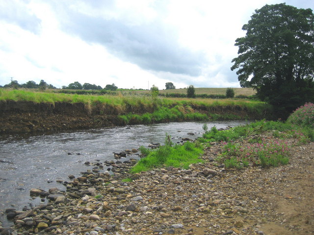
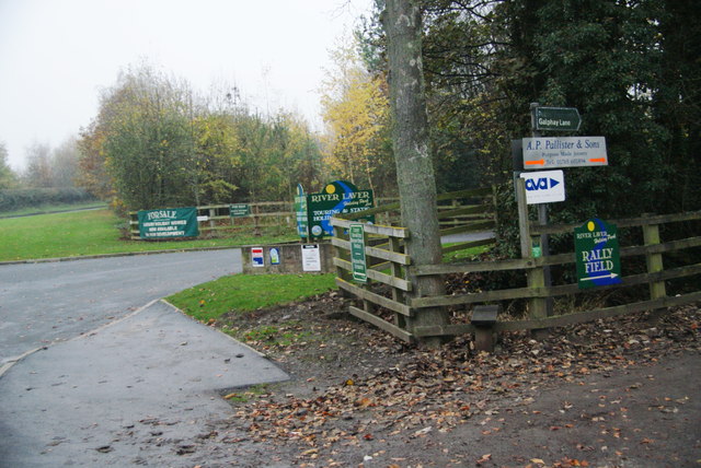
River Laver

The River Laver is a tributary of the River Skell, itself a tributary of the River Ure in North Yorkshire, England. The name is of Brittonic origin, from...
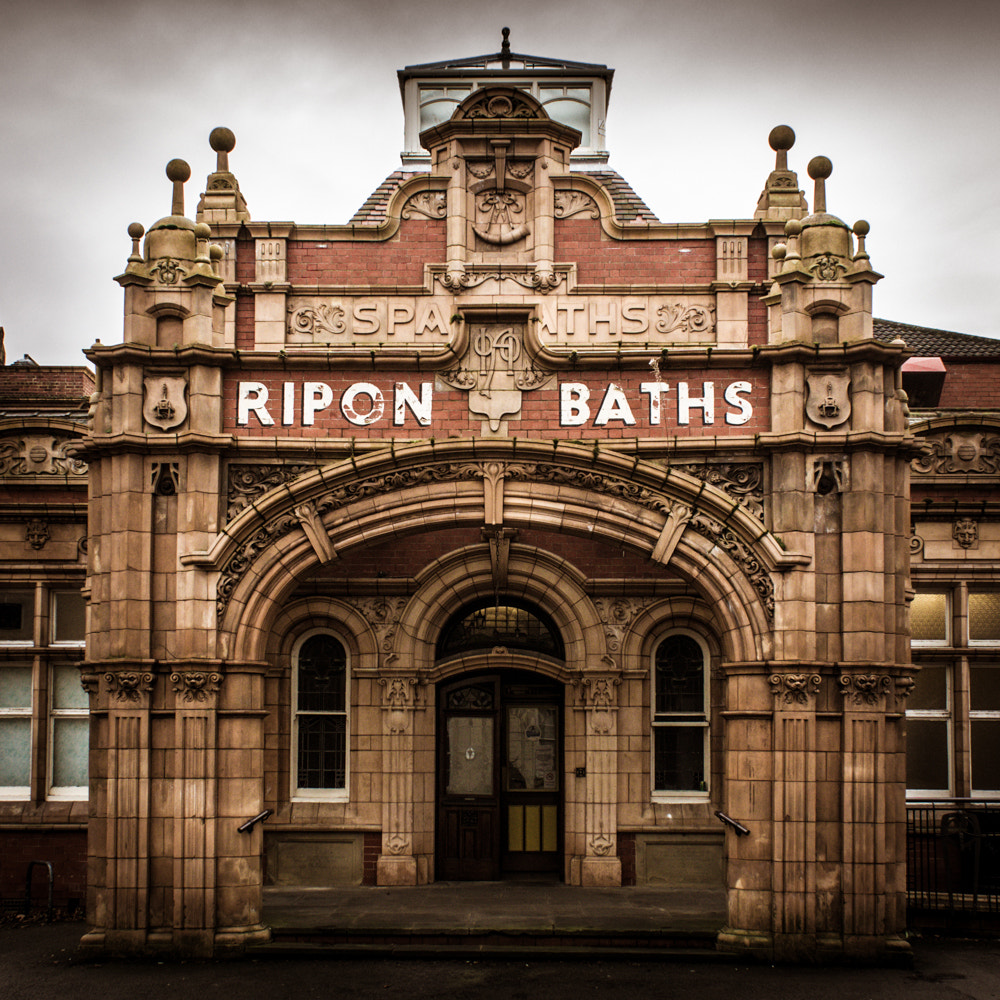
Ripon Spa Baths

The Ripon Spa Baths are a grade II listed building in Ripon, North Yorkshire, England. It was built between 1904–05 as a spa but failed to compete with...

Ripon Community Hospital

Ripon Community Hospital is a health facility in Firby Lane, Ripon, North Yorkshire, England. It is managed by Harrogate and District NHS Foundation Trust...

St Wilfrid's Church, Ripon

St Wilfrid's Church is a Roman Catholic parish church in Ripon, North Yorkshire, England. It was built from 1860 to 1862 and designed by Joseph Hansom...

The Wakeman's House

The Wakeman's House is a historic building in Ripon, a city in Yorkshire, in England. The building was constructed as a house in the 16th or early 17th...

Nearby Amenities

Located within 500m of 54.13574,-1.550302
Noexit: yes
Lat/Long: 54.1386487/-1.5496509
Barrier: stile
Lat/Long: 54.1330733/-1.5456343
Barrier: stile
Lat/Long: 54.1334409/-1.5480341
Barrier: stile
Lat/Long: 54.1334327/-1.5481669
Barrier: stile
Lat/Long: 54.133396/-1.5510784
Noexit: yes
Lat/Long: 54.1354991/-1.5487436
Noexit: yes
Lat/Long: 54.1357665/-1.5484097
Turning Circle
Lat/Long: 54.1324249/-1.546338
Traffic Calming: cushion
Lat/Long: 54.1380825/-1.5479178
Turning Circle
Lat/Long: 54.1386078/-1.549794
Noexit: yes
Lat/Long: 54.138021/-1.5492198
Crossing
Lat/Long: 54.1395457/-1.5467611
Crossing
Lat/Long: 54.1396126/-1.5469699
Crossing
Lat/Long: 54.1396452/-1.546934
Crossing
Lat/Long: 54.139652/-1.5470741
Crossing
Lat/Long: 54.1397487/-1.5472825
Crossing
Lat/Long: 54.139849/-1.5474816
Crossing
Lat/Long: 54.1398813/-1.5475398
Traffic Calming: hump
Lat/Long: 54.1396854/-1.5481808
Traffic Calming: hump
Lat/Long: 54.1395135/-1.5487093
Barrier: stile
Lat/Long: 54.1347066/-1.5428548
Parking
Access: customers
Lat/Long: 54.1323011/-1.5501103
Power: pole
Lat/Long: 54.1321478/-1.5537862
The data included in this document is from www.openstreetmap.org. The data is made available under ODbL.

Have you been to Paddy Wood?

Leave your review of Paddy Wood below (or comments, questions and feedback).