Clearwell

Settlement in Gloucestershire Forest of Dean

England

Clearwell

B4228 near Longley Farm
B4228 near Longley Farm Credit: Colin Pyle

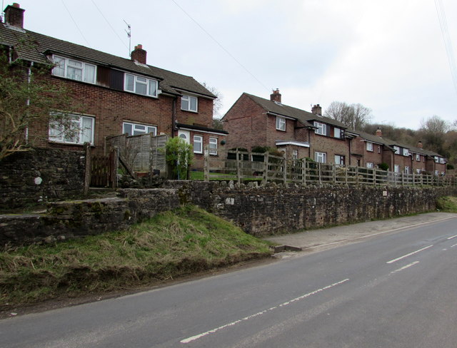
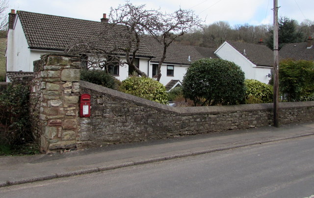
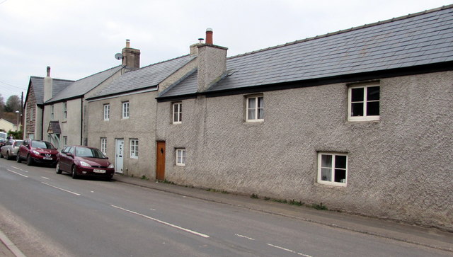
Clearwell is a charming village located in the Forest of Dean district of Gloucestershire, England. Situated on the western edge of the Royal Forest, Clearwell is surrounded by picturesque woodland, offering a peaceful and idyllic setting for residents and visitors alike.

The village is renowned for its rich history, with evidence of human habitation dating back to the Iron Age. Clearwell Castle, a magnificent Gothic-style mansion built in the 18th century, stands proudly at the heart of the village and serves as a popular wedding venue and tourist attraction. The castle's impressive architecture and stunning gardens provide a glimpse into the area's past.

In addition to its historical significance, Clearwell is known for its natural beauty. The nearby Clearwell Caves, a network of ancient iron mines, offer a fascinating underground experience for those interested in geology and mining history. Visitors can explore the atmospheric caverns and learn about the area's industrial heritage.

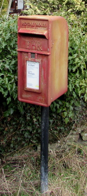
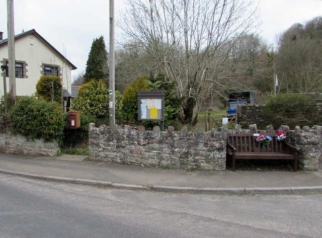
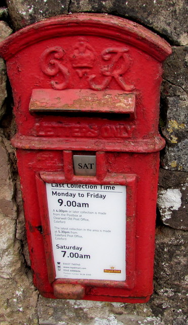
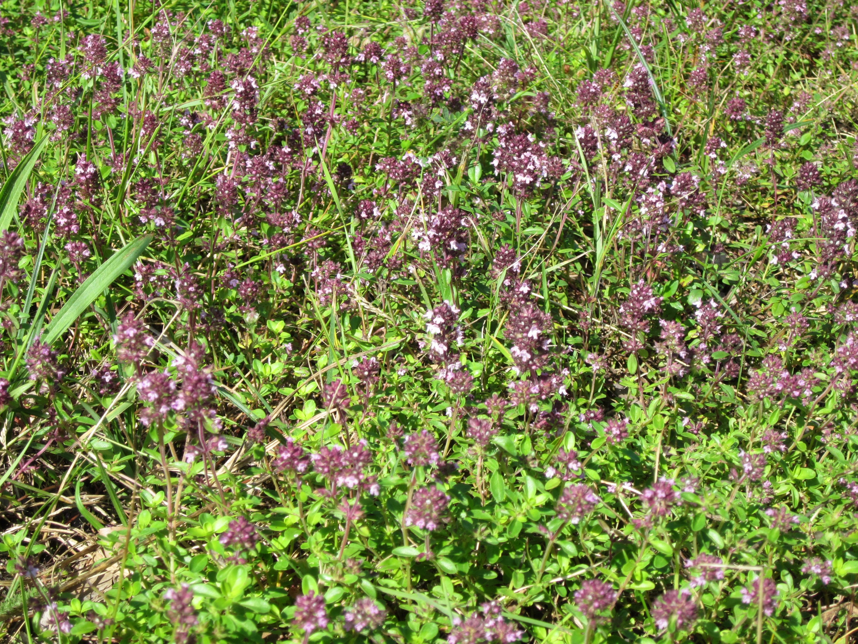
Clearwell boasts a tight-knit community, with a range of amenities available to residents. The village is home to a local primary school, a village hall, a post office, and a few quaint shops and pubs that add to its charm. The surrounding countryside provides ample opportunities for outdoor activities such as hiking, cycling, and horse riding, making Clearwell a haven for nature enthusiasts.

Overall, Clearwell is a delightful village that combines its historical heritage with natural beauty, offering a tranquil and welcoming environment for both residents and visitors to enjoy.

If you have any feedback on the listing, please let us know in the comments section below.
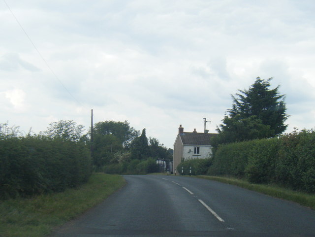
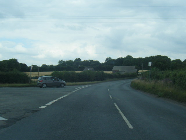
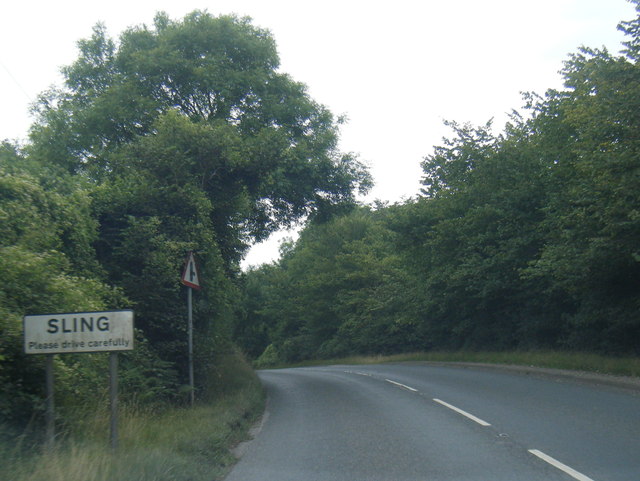
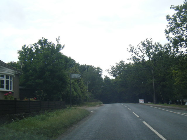
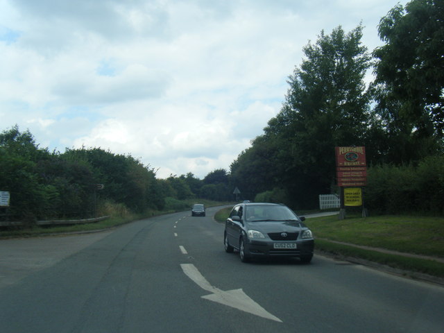
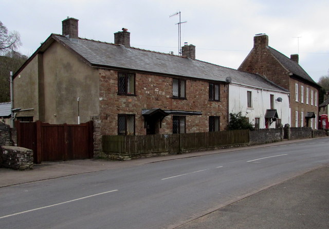
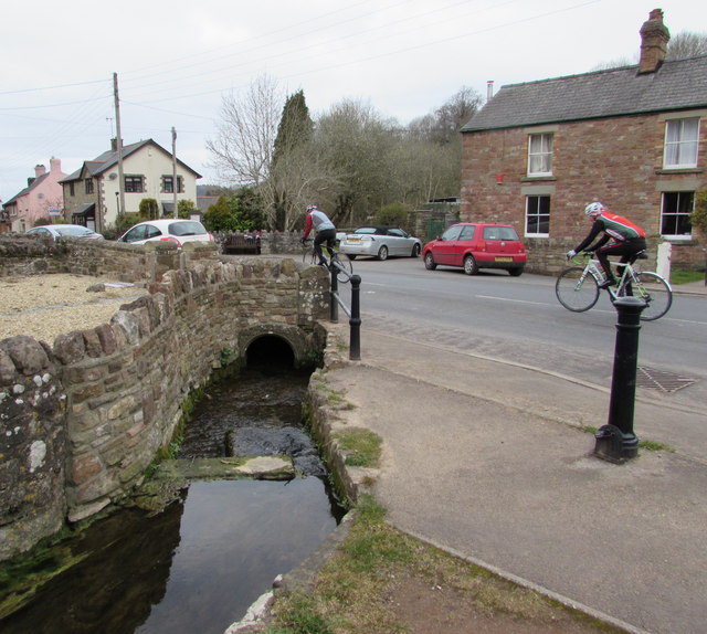
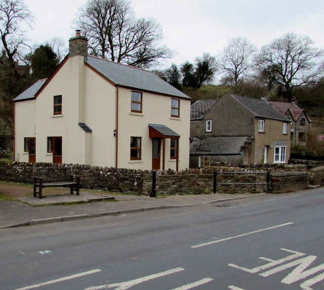
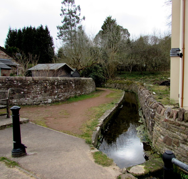
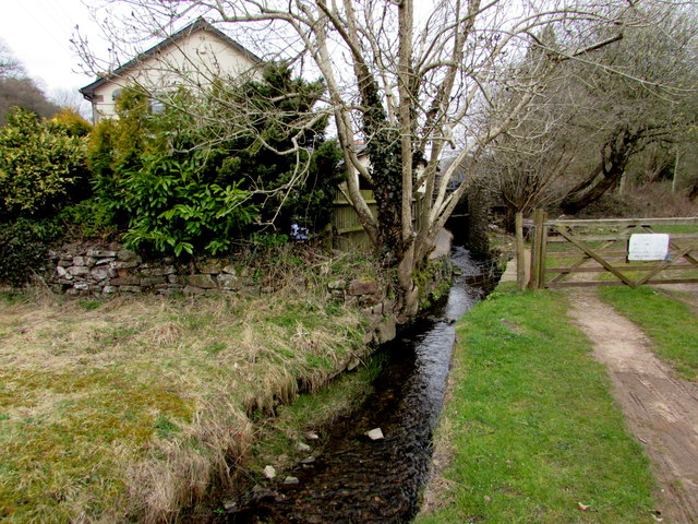
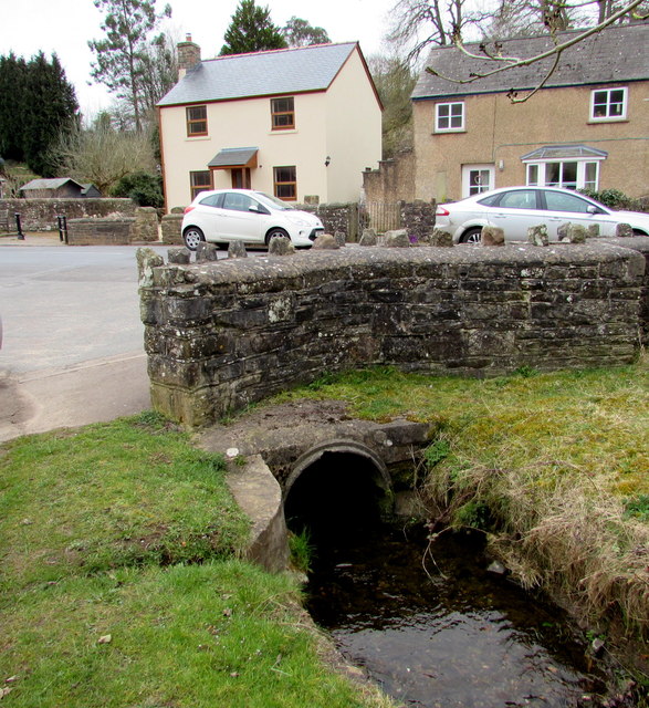
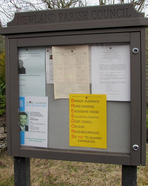
Clearwell Images

Images are sourced within 2km of 51.769523/-2.6219289 or Grid Reference SO5708. Thanks to Geograph Open Source API. All images are credited.

B4228 near Longley Farm
B4228/Shophouse Road junction
B4228 at Sling village boundary
B4228 at Oakwood Road junction
B4228 at Perrygrove
B4228 at Perrygrove
Towards the centre of Clearwell The red phonebox on the right is opposite this <a title="https://www.geograph.org.uk/photo/4400603" href="https://www.geograph.org.uk/photo/4400603">Link</a> medieval cross.
Towards the centre of Clearwell
The red phonebox on the right is opposite this Link medieval cross.
Cycling through Clearwell Two Sunday cyclists head away from the centre of the village.
Cycling through Clearwell
Two Sunday cyclists head away from the centre of the village.
Recently-built house in Clearwell Viewed in March 2015. The house on the left does not appear in a July 2009 Google Earth Street View.
Recently-built house in Clearwell
Viewed in March 2015. The house on the left does not appear in a July 2009 Google Earth Street View.
Valley Brook, Clearwell Here in an artificial channel past a wall.
Valley Brook, Clearwell
Here in an artificial channel past a wall.
Brook and gate, Clearwell Valley Brook at the edge of Brook Farm.
Brook and gate, Clearwell
Valley Brook at the edge of Brook Farm.
Valley Brook culvert, Clearwell The culvert is under the main road through the village.
Valley Brook culvert, Clearwell
The culvert is under the main road through the village.
Newland Parish Council noticeboard in Clearwell In March 2015, the yellow notice opposes a proposed Clearwell Quarry expansion by Breedons.
Newland Parish Council noticeboard in Clearwell
In March 2015, the yellow notice opposes a proposed Clearwell Quarry expansion by Breedons.
Queen Elizabeth II postbox in Clearwell Located here. <a title="https://www.geograph.org.uk/photo/4632978" href="https://www.geograph.org.uk/photo/4632978">Link</a>
Queen Elizabeth II postbox in Clearwell
Located here. Link
Postbox, noticeboard and bench in Clearwell On the north side of the main road through the village. The postbox is Elizabethan. <a title="https://www.geograph.org.uk/photo/4632977" href="https://www.geograph.org.uk/photo/4632977">Link</a>
Postbox, noticeboard and bench in Clearwell
On the north side of the main road through the village. The postbox is Elizabethan. Link
Wainland Place, Clearwell  Houses above the main road through the village.
Wainland Place, Clearwell
Houses above the main road through the village.
King George VI postbox in a Clearwell wall Located in the wall here. <a title="https://www.geograph.org.uk/photo/4632982" href="https://www.geograph.org.uk/photo/4632982">Link</a>
In March 2015, the notice shows that the last collection from this box 
is at 9am on Mondays to Fridays and as early as 7am on Saturday. 
In November 2008 <a title="https://www.geograph.org.uk/photo/1045700" href="https://www.geograph.org.uk/photo/1045700">Link</a> the times shown were 4.30pm and 9am. 
Royal Mail's idea of "service" has been to make collection times earlier
and earlier each day while deliveries of letters get later and later....
King George VI postbox in a Clearwell wall
Located in the wall here. Link In March 2015, the notice shows that the last collection from this box is at 9am on Mondays to Fridays and as early as 7am on Saturday. In November 2008 Link the times shown were 4.30pm and 9am. Royal Mail's idea of "service" has been to make collection times earlier and earlier each day while deliveries of letters get later and later....
King George VI postbox in Clearwell  <a title="https://www.geograph.org.uk/photo/4632981" href="https://www.geograph.org.uk/photo/4632981">Link</a> to a closer view.
King George VI postbox in Clearwell
Link to a closer view.
Grade II listed cottages in Clearwell Located near the corner of Pingry Lane and Stank Farm (ahead), the cottages 
probably date from the 16th century, later remodelled. Grade II listed in 1999.
Grade II listed cottages in Clearwell
Located near the corner of Pingry Lane and Stank Farm (ahead), the cottages probably date from the 16th century, later remodelled. Grade II listed in 1999.
Show me another place!

Clearwell is located at Grid Ref: SO5708 (Lat: 51.769523, Lng: -2.6219289)

Administrative County: Gloucestershire

District: Forest of Dean

Police Authority: Gloucestershire

What 3 Words

///affords.dreamer.giraffes. Near Coleford, Gloucestershire

Related Wikis

Clearwell

Clearwell (anciently "Clower-Wall" etc.) is a village and former ancient manor in the Forest of Dean, West Gloucestershire, England. A recent survey indicated...

Tudor Farm Bank

Tudor Farm Bank (grid reference SO573081) is a 3.68-hectare (9.1-acre) biological Site of Special Scientific Interest in Gloucestershire, notified in 1999...
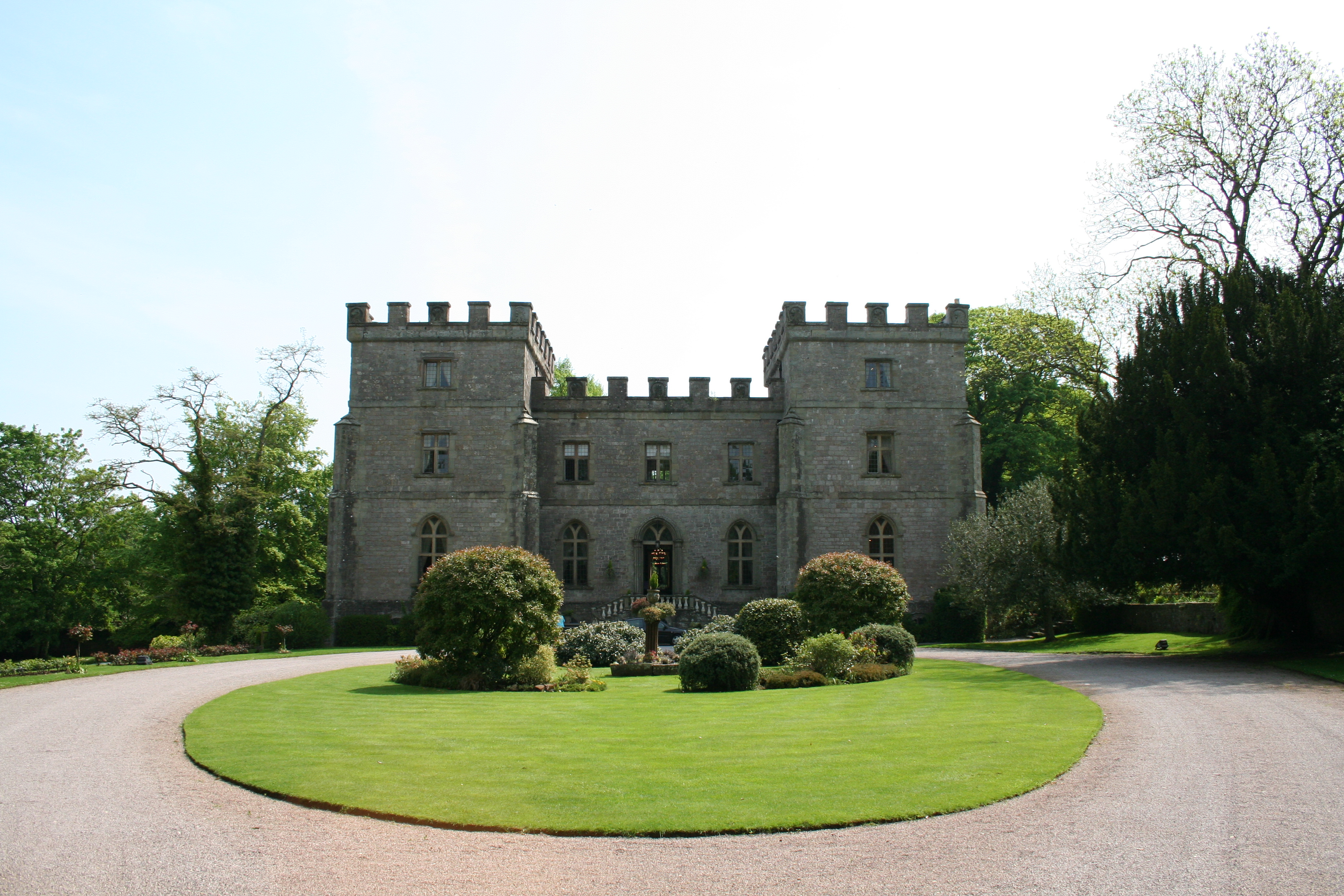
Clearwell Castle

Clearwell Castle in Clearwell, the Forest of Dean, Gloucestershire, is a Gothic Revival house constructed from 1727. Built by Thomas Wyndham to the designs...
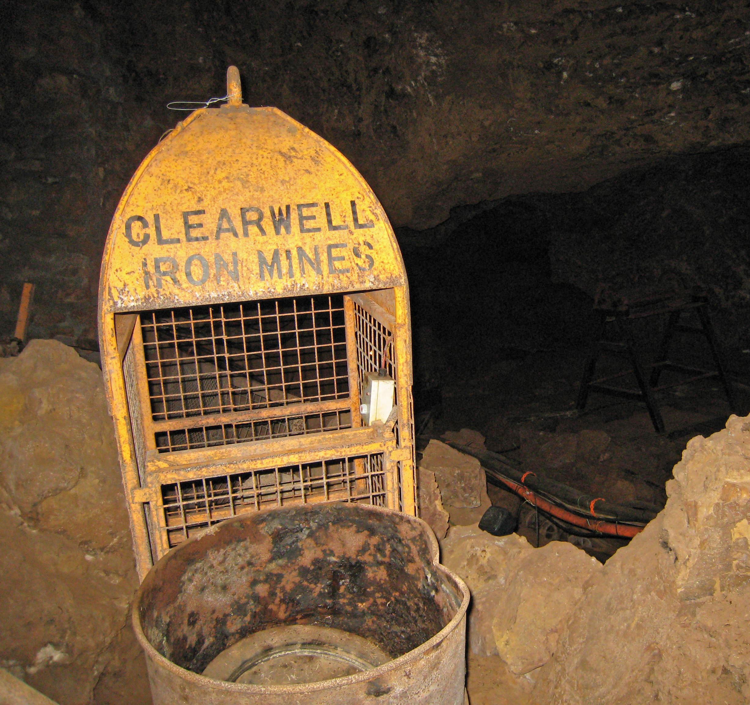
Clearwell Caves

Clearwell Caves, at Clearwell in the Forest of Dean, Gloucestershire, England, is a natural cave system which has been extensively mined for iron ore....

Old Bow and Old Ham Mines

Old Bow And Old Ham Mines (grid reference SO579088) is a 40.3-hectare (100-acre) biological Site of Special Scientific Interest in Gloucestershire, notified...

Sling, Gloucestershire

Sling is a village in Gloucestershire, England. The village is located between Clearwell and Bream. It is just south of the village of Milkwall. ��2�...

Puzzlewood

Puzzlewood (grid reference SO578092) is an ancient woodland site and tourist attraction, near Coleford in the Forest of Dean, Gloucestershire, England...

Milkwall

Milkwall is a village in the Forest of Dean in Gloucestershire, England. It lies between the village of Sling to the south, and the town of Coleford to...

Nearby Amenities

Located within 500m of 51.769523,-2.6219289
Clearwell
Is In: Gloucestershire, England, UK
Place: village
Source: NPE
Wikidata: Q5130972
Lat/Long: 51.7695794/-2.6225679
Bus Stop
Butchers Arms
Naptan AtcoCode: 1600GL1321
Naptan Bearing: E
Naptan CommonName: Butchers Arms
Naptan Indicator: Opp
Naptan NaptanCode: gloadpgd
Naptan Street: High St
Naptan Verified: no
Source: naptan_import
Lat/Long: 51.7693807/-2.6200497
Bus Stop
Butchers Arms
Naptan AtcoCode: 1600GL1322
Naptan Bearing: W
Naptan CommonName: Butchers Arms
Naptan NaptanCode: gloadpdw
Naptan Street: High St
Naptan Verified: no
Source: naptan_import
Lat/Long: 51.7693601/-2.6205422
Bus Stop
St Peter's Church
Naptan AtcoCode: 1600GL1325
Naptan Bearing: S
Naptan CommonName: St Peter's Church
Naptan Indicator: Opp
Naptan NaptanCode: gloadmtm
Naptan Street: Church St
Naptan Verified: no
Source: naptan_import
Lat/Long: 51.7693436/-2.6219622
St Peter's Church
Naptan AtcoCode: 1600GL1326
Naptan Bearing: N
Naptan BusStopType: CUS
Naptan CommonName: St Peter's Church
Naptan NaptanCode: gloadmtj
Naptan Street: Church St
Naptan Verified: no
Source: naptan_import
Lat/Long: 51.7690094/-2.6222619
Bus Stop
Orchard Close
Naptan AtcoCode: 1600GLF571
Naptan Bearing: SE
Naptan CommonName: Orchard Close
Naptan NaptanCode: gloadmgt
Naptan Street: Lower Cross
Naptan Verified: no
Source: naptan_import
Lat/Long: 51.7715638/-2.6271667
Orchard Close
Naptan AtcoCode: 1600GLF572
Naptan Bearing: NW
Naptan BusStopType: CUS
Naptan CommonName: Orchard Close
Naptan Indicator: Opp
Naptan NaptanCode: gloadmgm
Naptan Street: Lower Cross
Naptan Verified: no
Source: naptan_import
Lat/Long: 51.7715263/-2.6274561
Bus Stop
The Rocks
Naptan AtcoCode: 1600GLF573
Naptan Bearing: NE
Naptan CommonName: The Rocks
Naptan NaptanCode: gloadpwd
Naptan Street: High St
Naptan Verified: no
Source: naptan_import
Lat/Long: 51.7695355/-2.6162548
Bus Stop
The Rocks
Naptan AtcoCode: 1600GLF574
Naptan Bearing: SW
Naptan CommonName: The Rocks
Naptan NaptanCode: gloadpwp
Naptan Street: High St
Naptan Verified: no
Source: naptan_import
Lat/Long: 51.769564/-2.6159799
Tannery Gardens
Naptan AtcoCode: 1600GLF711
Naptan Bearing: SE
Naptan BusStopType: CUS
Naptan CommonName: Tannery Gardens
Naptan NaptanCode: gloadmjm
Naptan Street: Newland Road
Naptan Verified: no
Source: naptan_import
Lat/Long: 51.7711869/-2.6253499
Bus Stop
Tannery Gardens
Naptan AtcoCode: 1600GLF712
Naptan Bearing: NW
Naptan CommonName: Tannery Gardens
Naptan Indicator: Opp
Naptan NaptanCode: gloadmjg
Naptan Street: Newland Road
Naptan Verified: no
Source: naptan_import
Lat/Long: 51.771194/-2.6256978
Tourism: hotel
Lat/Long: 51.7695796/-2.6210235
Post Box
Operator: Royal Mail
Post Box Type: wall
Lat/Long: 51.771562/-2.6270333
Post Box
Operator: Royal Mail
Post Box Type: lamp
Lat/Long: 51.7703471/-2.6234056
Bench
Lat/Long: 51.7703305/-2.6233667
Turning Loop
Lat/Long: 51.7663048/-2.6201008
Give Way
Direction: forward
Lat/Long: 51.7717568/-2.6281183
Give Way
Direction: backward
Lat/Long: 51.7718321/-2.6280796
Give Way
Direction: backward
Lat/Long: 51.7696778/-2.6159044
Give Way
Direction: forward
Lat/Long: 51.7695544/-2.6218961
Historic: memorial
Lat/Long: 51.7696068/-2.6218506
Telephone
Booth: K6
Covered: booth
Listed Status: Grade II
Phone: +44 1594 832193
Lat/Long: 51.7696233/-2.6216398
Pub
Butchers Arms
Addr City: Clearwell
Addr Housename: Butchers Arms
Addr Postcode: GL16 8JS
Addr Street: High Street
Brewery: yes
Check Date: 2023-09-11
Email: butchersarmsclearwell@googlemail.com
Payment Mastercard: yes
Payment Visa: yes
Phone: +44 1594 834313
Website: https://www.thebutchersarmsclearwell.co.uk
Lat/Long: 51.769545/-2.6205541
The data included in this document is from www.openstreetmap.org. The data is made available under ODbL.

Have you been to Clearwell?

Leave your review of Clearwell below (or comments, questions and feedback).