Claytons

Settlement in Herefordshire

England

Claytons

HJK office in Ross-on-Wye Steps lead up from  St Mary's Street to the entrance to HJK 
(Hale Jackson Knight), chartered accountants and registered auditors.
HJK office in Ross-on-Wye Credit: Jaggery

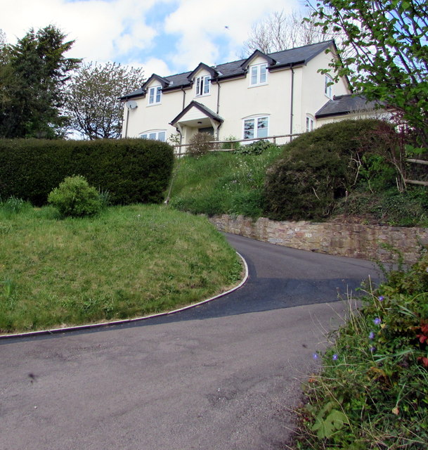
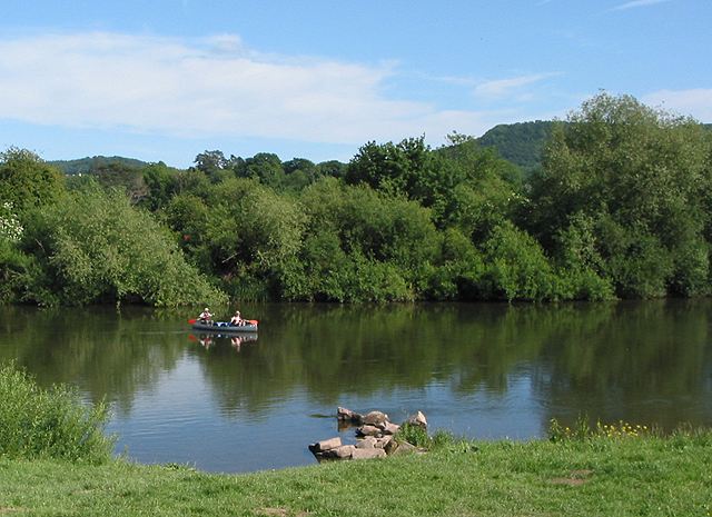
Claytons is a small village located in the county of Herefordshire, England. Situated in the western part of the county, it is surrounded by picturesque countryside and rolling hills. The village is nestled in a valley, offering residents and visitors stunning views of the natural landscape.

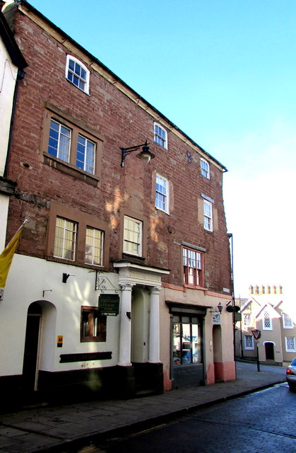
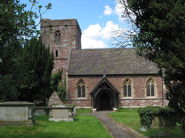
With a population of around 200 people, Claytons is a close-knit community that prides itself on its friendly and welcoming atmosphere. The village is known for its quaint charm and traditional architecture, with many of the buildings dating back several centuries. The local church, St. Mary's, is a prominent feature of the village and is well-preserved.

Despite its small size, Claytons offers a range of amenities to its residents. There is a village hall that serves as a hub for community events and gatherings, as well as a small convenience store for everyday needs. The village also boasts a popular pub, The Claytons Arms, where locals and visitors can enjoy a pint of locally brewed ale or indulge in traditional British cuisine.

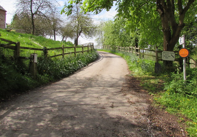
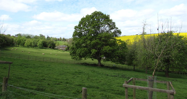
Surrounded by lush green fields and woodland, Claytons is a haven for nature lovers and outdoor enthusiasts. There are several walking and cycling trails in the area, allowing visitors to explore the beautiful countryside and enjoy the tranquility of the surroundings.

Overall, Claytons offers a peaceful and idyllic setting, perfect for those seeking a rural retreat in the heart of Herefordshire. Its picturesque landscapes, friendly community, and range of amenities make it a charming place to live or visit.

If you have any feedback on the listing, please let us know in the comments section below.
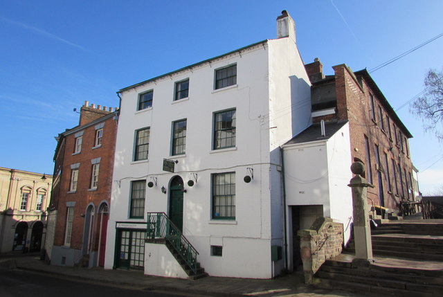
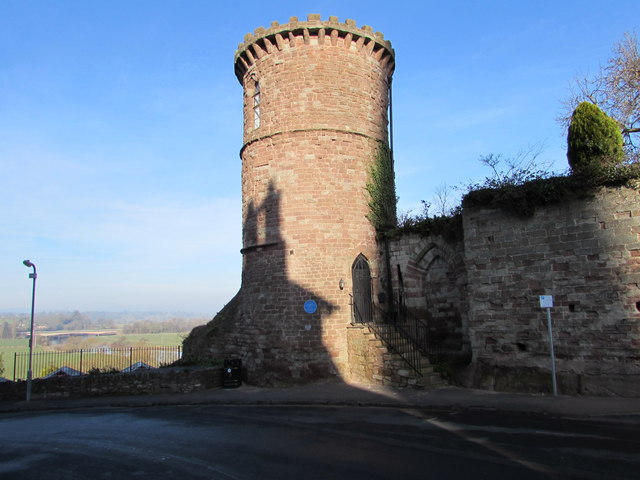
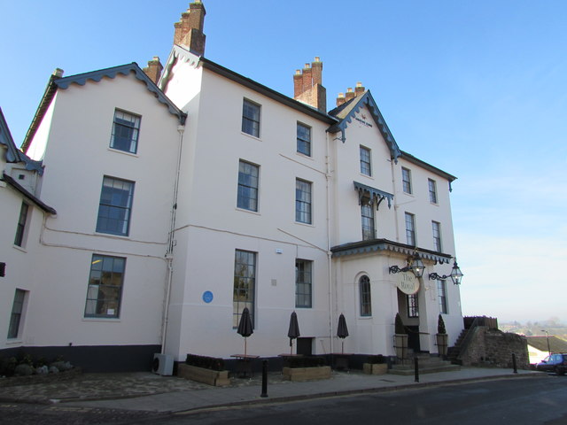
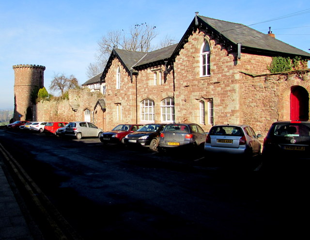
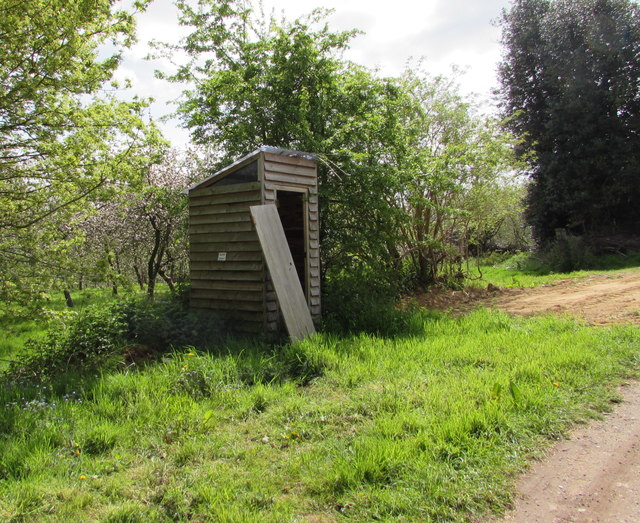
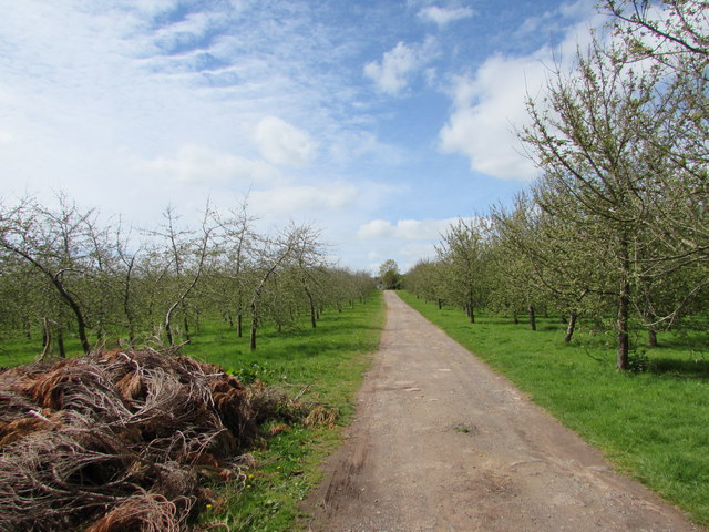
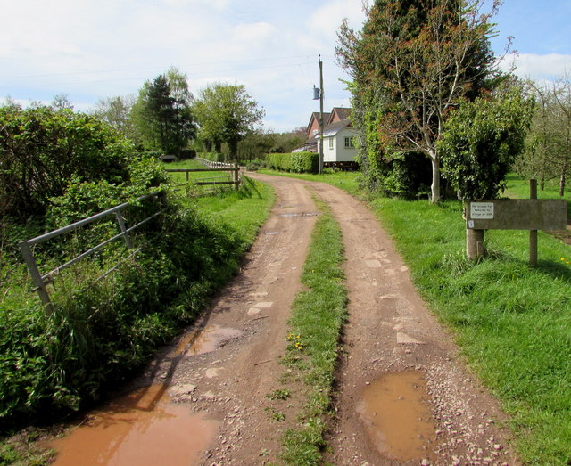
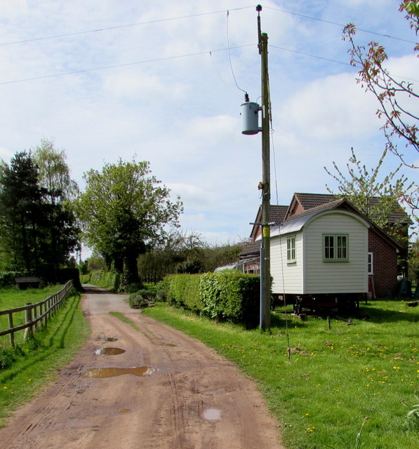
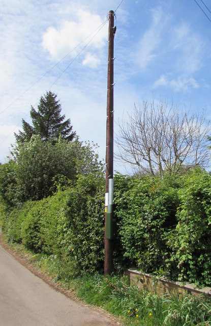
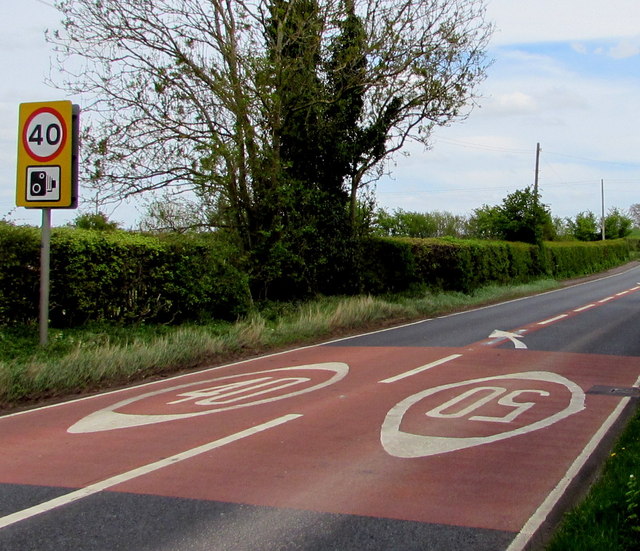
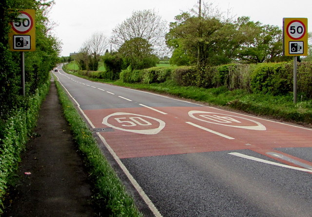
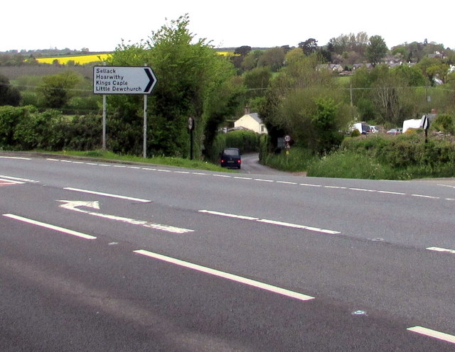
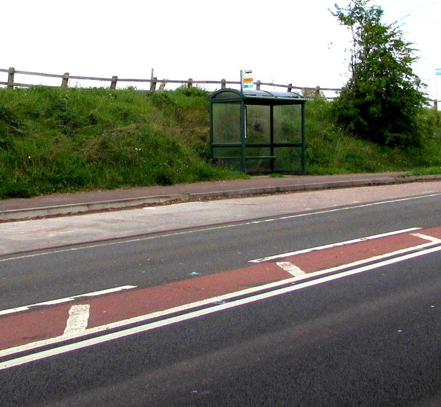
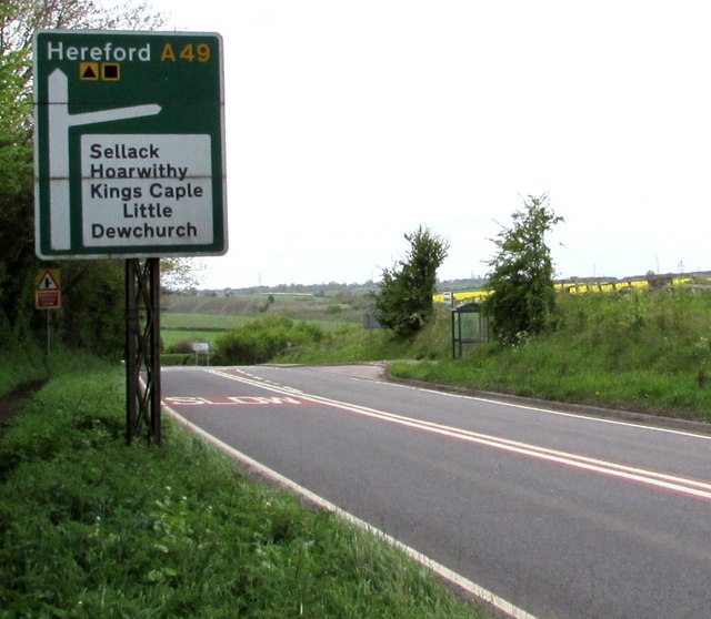
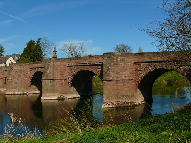
Claytons Images

Images are sourced within 2km of 51.921994/-2.6115002 or Grid Reference SO5825. Thanks to Geograph Open Source API. All images are credited.

HJK office in Ross-on-Wye Steps lead up from  St Mary's Street to the entrance to HJK 
(Hale Jackson Knight), chartered accountants and registered auditors.
HJK office in Ross-on-Wye
Steps lead up from St Mary's Street to the entrance to HJK (Hale Jackson Knight), chartered accountants and registered auditors.
Gazebo Tower, Ross-on-Wye An information plaque states that the tower was built as a viewing point along with the mock Gothic town walls in 1833, when Wilton Road was built. Originally known as Collins Tower, this is one of the finest examples of a folly in Herefordshire. It gives panoramic views across the famous horseshoe bend in the River Wye, and the surrounding countryside. 

In September 2001, the tower was sold by Herefordshire Council to a private owner who uses the tower as a holiday home. Visitors can enter the tower on various open days held during the year. Any donations received are given to local charities.
Gazebo Tower, Ross-on-Wye
An information plaque states that the tower was built as a viewing point along with the mock Gothic town walls in 1833, when Wilton Road was built. Originally known as Collins Tower, this is one of the finest examples of a folly in Herefordshire. It gives panoramic views across the famous horseshoe bend in the River Wye, and the surrounding countryside. In September 2001, the tower was sold by Herefordshire Council to a private owner who uses the tower as a holiday home. Visitors can enter the tower on various open days held during the year. Any donations received are given to local charities.
Entrance to the Royal Hotel, Ross-on-Wye Viewed across Royal Parade. The entrance is opposite the Gazebo Tower. <a title="https://www.geograph.org.uk/photo/4611759" href="https://www.geograph.org.uk/photo/4611759">Link</a>
Entrance to the Royal Hotel, Ross-on-Wye
Viewed across Royal Parade. The entrance is opposite the Gazebo Tower. Link
Cars and a folly in Royal Parade, Ross-on-Wye Looking towards a 19th century folly, the Gazebo Tower, <a title="https://www.geograph.org.uk/photo/4611759" href="https://www.geograph.org.uk/photo/4611759">Link</a> 
on a day of bright sunshine and deep shadows in early February 2015.
Cars and a folly in Royal Parade, Ross-on-Wye
Looking towards a 19th century folly, the Gazebo Tower, Link on a day of bright sunshine and deep shadows in early February 2015.
Old Courthouse, High Street, Ross-on-Wye Tuscan columns are the entrance to the Old Courthouse at 53 High Street,
now a bed & breakfast guest house.
Old Courthouse, High Street, Ross-on-Wye
Tuscan columns are the entrance to the Old Courthouse at 53 High Street, now a bed & breakfast guest house.
House in Buckcastle Hill, Bridstow Rural Herefordshire west of Ross-on-Wye.
House in Buckcastle Hill, Bridstow
Rural Herefordshire west of Ross-on-Wye.
This way for Broome Farm near Peterstow The black arrow on a sign points towards Broome Farm B&B, cream teas and cider.
The black-edged orange sign shows that this is a Neighbourhood Watch area.
This way for Broome Farm near Peterstow
The black arrow on a sign points towards Broome Farm B&B, cream teas and cider. The black-edged orange sign shows that this is a Neighbourhood Watch area.
Oak near Broome Farm, Peterstow Rural Herefordshire west of Ross-on-Wye.
Oak near Broome Farm, Peterstow
Rural Herefordshire west of Ross-on-Wye.
Basic facility alongside the Peterstow-Bridstow Loop Earth closet toilet on a part of the Peterstow-Bridstow 
Loop walk, here through Herefordshire cider orchards.
Basic facility alongside the Peterstow-Bridstow Loop
Earth closet toilet on a part of the Peterstow-Bridstow Loop walk, here through Herefordshire cider orchards.
Path through cider orchards, Peterstow Part of the Peterstow-Bridstow Loop walk.
Path through cider orchards, Peterstow
Part of the Peterstow-Bridstow Loop walk.
Track towards The New Road, Peterstow This is part of the Peterstow-Bridstow Loop walk, here towards The New Road which leads to the A49. 
Out of shot 100 metres to the right is Old Lane.
Track towards The New Road, Peterstow
This is part of the Peterstow-Bridstow Loop walk, here towards The New Road which leads to the A49. Out of shot 100 metres to the right is Old Lane.
The New Road, Peterstow Part of the Peterstow-Bridstow Loop walk, here along The New Road which leads to the A49 in Peterstow.
The New Road, Peterstow
Part of the Peterstow-Bridstow Loop walk, here along The New Road which leads to the A49 in Peterstow.
Overhead fibre drop, Peterstow A small BT label on the New Road pole shows CAUTION OVERHEAD FIBRE DROP 
which indicates that this rural area has (or is about to have) access
to BT's fibre optic broadband service, unlike many other rural parts
of the UK where in 2015 there is no such access.
Overhead fibre drop, Peterstow
A small BT label on the New Road pole shows CAUTION OVERHEAD FIBRE DROP which indicates that this rural area has (or is about to have) access to BT's fibre optic broadband service, unlike many other rural parts of the UK where in 2015 there is no such access.
From 50 to 40 on the A49 near Bridstow The 50mph speed limit on the road from Peterstow drops to 40mph 
on the approach to Bridstow in rural Herefordshire near Ross-on-Wye.
From 50 to 40 on the A49 near Bridstow
The 50mph speed limit on the road from Peterstow drops to 40mph on the approach to Bridstow in rural Herefordshire near Ross-on-Wye.
From 40 to 50 on the A49 towards Peterstow The 40mph speed limit on the road from Bridstow increases 
to 50mph towards Peterstow in rural Herefordshire near Ross-on-Wye.
From 40 to 50 on the A49 towards Peterstow
The 40mph speed limit on the road from Bridstow increases to 50mph towards Peterstow in rural Herefordshire near Ross-on-Wye.
Junction of the A49 and a minor road, Bridstow The minor road to Sellack, Hoarwithy, Kings Caple and Little Dewchurch descends from the A49.
Junction of the A49 and a minor road, Bridstow
The minor road to Sellack, Hoarwithy, Kings Caple and Little Dewchurch descends from the A49.
Bridstow bus shelter On the north side of the A49 in rural Herefordshire near Ross-on-Wye.
Bridstow bus shelter
On the north side of the A49 in rural Herefordshire near Ross-on-Wye.
Minor road junction ahead, Bridstow Ahead on the A49 for Hereford or turn right for Sellack, Hoarwithy, Kings Caple and Little Dewchurch.
Minor road junction ahead, Bridstow
Ahead on the A49 for Hereford or turn right for Sellack, Hoarwithy, Kings Caple and Little Dewchurch.
Show me another place!

Claytons is located at Grid Ref: SO5825 (Lat: 51.921994, Lng: -2.6115002)

Unitary Authority: County of Herefordshire

Police Authority: West Merica

What 3 Words

///amber.steadier.bounding. Near Ross on Wye, Herefordshire

Nearby Locations

Claytons

Related Wikis

Bridstow

Bridstow is a village and civil parish in Herefordshire, England, 2 km (1.2 miles) west of Ross-on-Wye and 17 km (10.6 miles) south-east of Hereford. The...

Wilton Castle

Wilton Castle is a 12th-century Norman castle located in south-eastern Herefordshire, England on the River Wye adjacent to the town of Ross-on-Wye. The...

Wilton Bridge

Wilton Bridge is a Grade I listed bridge crossing the River Wye between Wilton, Herefordshire and Ross-on-Wye, Herefordshire, England. == History == The...

Ross Town F.C.

Ross Town F.C. was a football club based in Ross-on-Wye, Herefordshire, England. The club was formed in the summer of 1993 following the amalgamation of...

Wilton, Herefordshire

Wilton is a village in south Herefordshire, England just under a mile west of the market town of Ross-on-Wye. In 1100, Henry I set up three royal manors...

Ross Rowing Club

Ross Rowing Club is a rowing club on the River Wye, based at The Ropewalk, Ross-on-Wye, Herefordshire. The Ross Regatta is held over the August Bank Holiday...
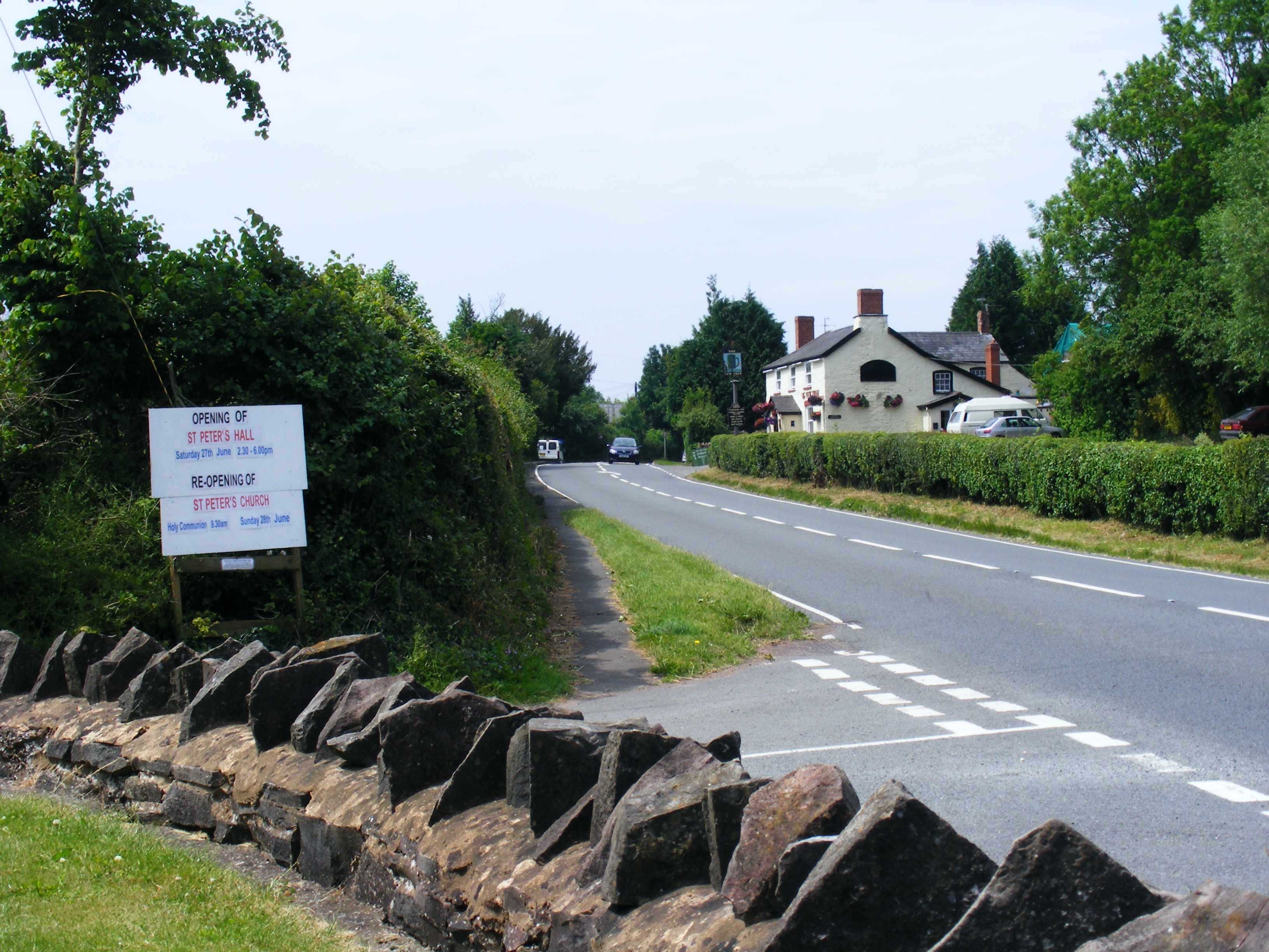
Peterstow

Peterstow is a village and civil parish in Herefordshire, England, situated about 2 miles (3 km) west of Ross-on-Wye on the A49. == General description... ==

Ross-on-Wye

Ross-on-Wye is a market town and civil parish in Herefordshire, England, near the border with Wales. It had a population estimated at 10,978 in 2021. It...

Nearby Amenities

Located within 500m of 51.921994,-2.6115002
Bus Stop
Green Gates
Naptan AtcoCode: 2090A18456
Naptan Bearing: NW
Naptan CommonName: Green Gates
Naptan Indicator: o/s Green Gates Council Houses
Naptan Landmark: Pool Mill
Naptan NaptanCode: heragtdj
Naptan Street: Hoarwithy Road
Naptan Verified: no
Source: naptan_import
Lat/Long: 51.9220455/-2.616971
Bus Stop
Green Gates
Naptan AtcoCode: 2090A18458
Naptan Bearing: SE
Naptan BusStopType: CUS
Naptan CommonName: Green Gates
Naptan Indicator: opp bus stop pole
Naptan Landmark: Pool Mill
Naptan NaptanCode: heragtdm
Naptan Street: Ross Road
Naptan Verified: no
Source: naptan_import
Lat/Long: 51.9220667/-2.6168568
Bus Stop
Telephone Box
Naptan AtcoCode: 2090A20014
Naptan Bearing: S
Naptan CommonName: Telephone Box
Naptan Indicator: opp
Naptan Landmark: Telephone Box
Naptan NaptanCode: heramwad
Naptan Street: N/K
Naptan Verified: no
Source: naptan_import
Lat/Long: 51.9193851/-2.6121231
Bus Stop
Telephone Box
Naptan AtcoCode: 2090A20016
Naptan Bearing: N
Naptan BusStopType: CUS
Naptan CommonName: Telephone Box
Naptan Indicator: adj
Naptan Landmark: Telephone Box
Naptan NaptanCode: heramwag
Naptan Street: N/K
Naptan Verified: no
Source: naptan_import
Lat/Long: 51.9192528/-2.6121726
Entrance: yes
Lat/Long: 51.9203845/-2.6055077
Barrier: kissing_gate
Source: survey
Lat/Long: 51.9193335/-2.6119486
Barrier: kissing_gate
Source: survey
Lat/Long: 51.9203373/-2.6065291
Barrier: kissing_gate
Source: survey
Lat/Long: 51.9203868/-2.6049887
Barrier: kissing_gate
Source: survey
Lat/Long: 51.9203621/-2.6058365
Power: pole
Lat/Long: 51.918439/-2.6075931
Power: pole
Lat/Long: 51.9188765/-2.6085046
Power: pole
Lat/Long: 51.9193778/-2.6095077
Power: pole
Source: survey
Transformer: distribution
Voltage Primary: 11000
Lat/Long: 51.9197864/-2.6103084
Man Made: street_cabinet
Source: survey
Street Cabinet: telecom
Lat/Long: 51.9192843/-2.6122449
Man Made: street_cabinet
Source: survey
Street Cabinet: telecom
Lat/Long: 51.9192744/-2.6122154
Post Box
Ref: HR9 562
Royal Cypher: EIIR
Royal Cypher Wikidata: Q33102113
Lat/Long: 51.9193009/-2.6122503
Information: board
Source: survey
Tourism: information
Lat/Long: 51.91942/-2.6121376
Fire Hydrant
Emergency: fire_hydrant
Fire Hydrant Type: underground
Source: survey
Lat/Long: 51.920152/-2.6127713
Fire Hydrant
Emergency: fire_hydrant
Fire Hydrant Type: underground
Source: survey
Lat/Long: 51.9202744/-2.6167122
Poolmill Bridge
Power: pole
Transformer: distribution
Voltage Primary: 11000
Lat/Long: 51.9189447/-2.6115388
Power: pole
Lat/Long: 51.9202276/-2.6106496
Power: pole
Lat/Long: 51.9188132/-2.6119572
Bridstow Vicarage
Power: pole
Transformer: distribution
Voltage Primary: 11000
Lat/Long: 51.9184484/-2.6131025
Power: pole
Source: Bing
Lat/Long: 51.9254129/-2.6110268
Power: pole
Source: Bing
Lat/Long: 51.9255023/-2.6092029
Power: pole
Source: Bing
Lat/Long: 51.9257338/-2.613312
Power: pole
Source: Bing
Lat/Long: 51.9259186/-2.6148803
Location Transition: yes
Power: pole
Transformer: distribution
Voltage Primary: 11000
Lat/Long: 51.9250451/-2.6133809
Moore Court Farm Bridstow
Power: pole
Transformer: distribution
Voltage Primary: 11000
Lat/Long: 51.9207868/-2.6172922
Power: pole
Lat/Long: 51.9215904/-2.6185763
Oaklands
Power: pole
Transformer: distribution
Voltage Primary: 11000
Lat/Long: 51.9226933/-2.6168168
Power: pole
Lat/Long: 51.9225531/-2.6172486
Power: pole
Lat/Long: 51.9225097/-2.6175269
Power: pole
Lat/Long: 51.9224456/-2.6178957
Power: pole
Lat/Long: 51.9223683/-2.6186427
Cotterells
Power: pole
Transformer: distribution
Voltage Primary: 11000
Lat/Long: 51.9245848/-2.6167946
Power: pole
Lat/Long: 51.924359/-2.6155917
Power: pole
Lat/Long: 51.9241407/-2.6144705
Power: pole
Lat/Long: 51.9242358/-2.6131736
Power: pole
Lat/Long: 51.9237036/-2.6130241
Power: pole
Lat/Long: 51.9232214/-2.6128954
Hill Top
Power: pole
Transformer: distribution
Voltage Primary: 11000
Lat/Long: 51.9223331/-2.6085448
Ashe End
Power: pole
Transformer: distribution
Voltage Primary: 11000
Lat/Long: 51.9248851/-2.606798
Power: pole
Lat/Long: 51.9242321/-2.6074585
Power: pole
Lat/Long: 51.9235783/-2.6081586
Power: pole
Lat/Long: 51.9228856/-2.6088848
Power: pole
Lat/Long: 51.9222901/-2.6095098
Claytons
Power: pole
Transformer: distribution
Voltage Primary: 11000
Lat/Long: 51.922281/-2.6098645
Power: pole
Lat/Long: 51.9222446/-2.6106624
Power: pole
Lat/Long: 51.9222148/-2.6114872
Power: pole
Lat/Long: 51.9223571/-2.6122396
Poolmill North
Power: pole
Transformer: distribution
Voltage Primary: 11000
Lat/Long: 51.9217045/-2.6117541
Power: pole
Lat/Long: 51.921073/-2.6112807
Poolmill
Power: pole
Transformer: distribution
Voltage Primary: 11000
Lat/Long: 51.9204953/-2.6108502
Power: pole
Lat/Long: 51.9195623/-2.6111117
The data included in this document is from www.openstreetmap.org. The data is made available under ODbL.

Have you been to Claytons?

Leave your review of Claytons below (or comments, questions and feedback).