Dean Pool
Lake, Pool, Pond, Freshwater Marsh in Gloucestershire Forest of Dean
England
Dean Pool
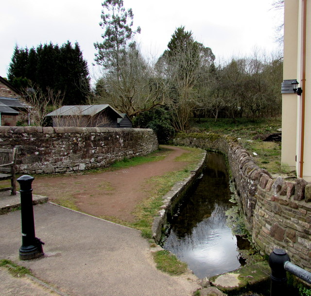
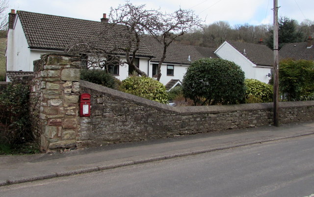
Dean Pool is a small freshwater lake located in the county of Gloucestershire, England. Nestled within the picturesque Forest of Dean, it is a popular spot for both locals and tourists seeking a tranquil and natural setting. The pool covers an area of approximately 2.5 acres, with a maximum depth of around 12 feet.
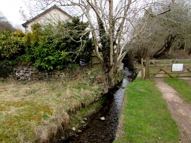
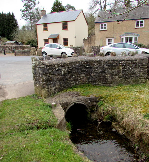
Surrounded by dense woodlands and lush vegetation, Dean Pool offers a serene and secluded atmosphere. The lake is fed by natural springs and small streams, ensuring a constant flow of fresh water. This creates an ideal habitat for a variety of aquatic plants and wildlife.
The pool is home to a diverse range of freshwater fish species, including perch, pike, and roach. Anglers frequent the area to enjoy the peacefulness and try their luck at catching a prized fish. The pool also attracts a variety of waterfowl, such as ducks and swans, which can often be seen gracefully gliding across the calm surface.
Adjacent to Dean Pool is a small pond and a freshwater marsh, further enhancing the ecological diversity of the area. These habitats provide a sanctuary for amphibians, such as frogs and newts, as well as a wide array of insect species.
Visitors to Dean Pool can enjoy leisurely walks around the lake, taking in the stunning views and observing the abundant wildlife. It is a haven for nature lovers and a peaceful escape from the bustling towns and cities nearby.
If you have any feedback on the listing, please let us know in the comments section below.
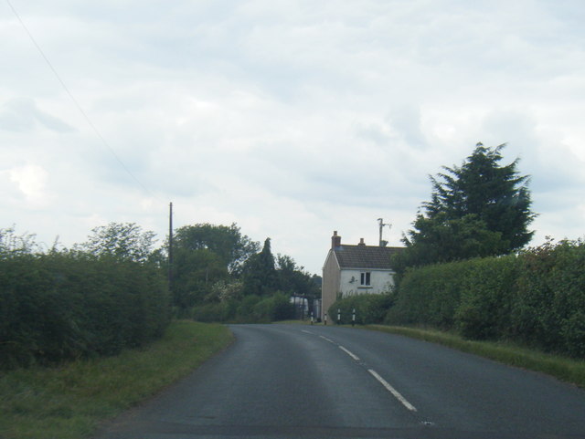
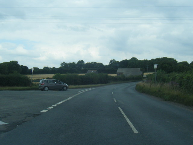
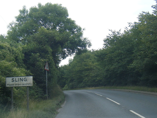
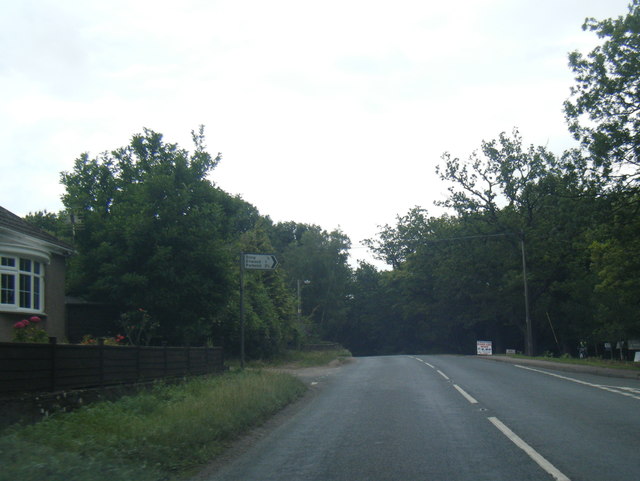
Dean Pool Images
Images are sourced within 2km of 51.769285/-2.6123465 or Grid Reference SO5708. Thanks to Geograph Open Source API. All images are credited.
Dean Pool is located at Grid Ref: SO5708 (Lat: 51.769285, Lng: -2.6123465)
Administrative County: Gloucestershire
District: Forest of Dean
Police Authority: Gloucestershire
What 3 Words
///assorted.thickened.launch. Near Coleford, Gloucestershire
Nearby Locations
Related Wikis
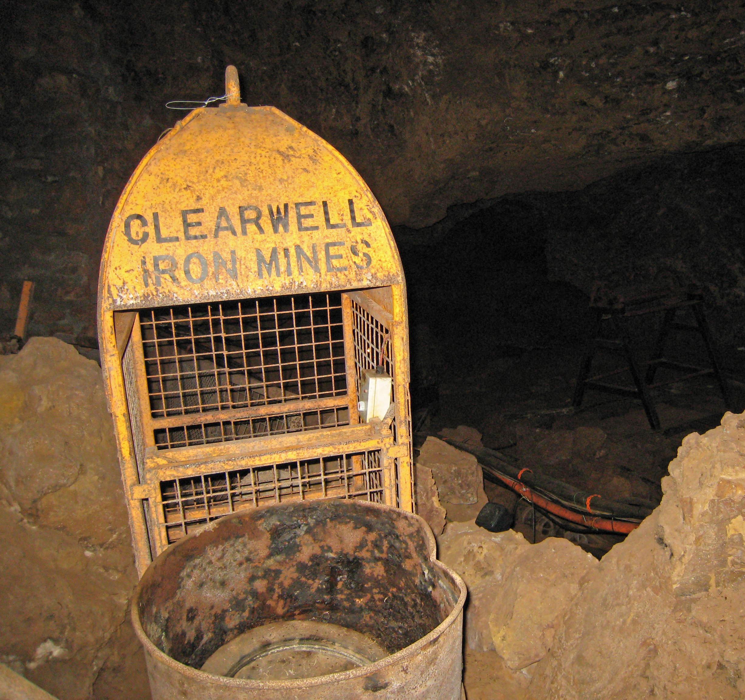
Clearwell Caves
Clearwell Caves, at Clearwell in the Forest of Dean, Gloucestershire, England, is a natural cave system which has been extensively mined for iron ore....
Tudor Farm Bank
Tudor Farm Bank (grid reference SO573081) is a 3.68-hectare (9.1-acre) biological Site of Special Scientific Interest in Gloucestershire, notified in 1999...

Sling, Gloucestershire
Sling is a village in Gloucestershire, England. The village is located between Clearwell and Bream. It is just south of the village of Milkwall. ��2�...

Clearwell
Clearwell (anciently "Clower-Wall" etc.) is a village and former ancient manor in the Forest of Dean, West Gloucestershire, England. A recent survey indicated...

Old Bow and Old Ham Mines
Old Bow And Old Ham Mines (grid reference SO579088) is a 40.3-hectare (100-acre) biological Site of Special Scientific Interest in Gloucestershire, notified...
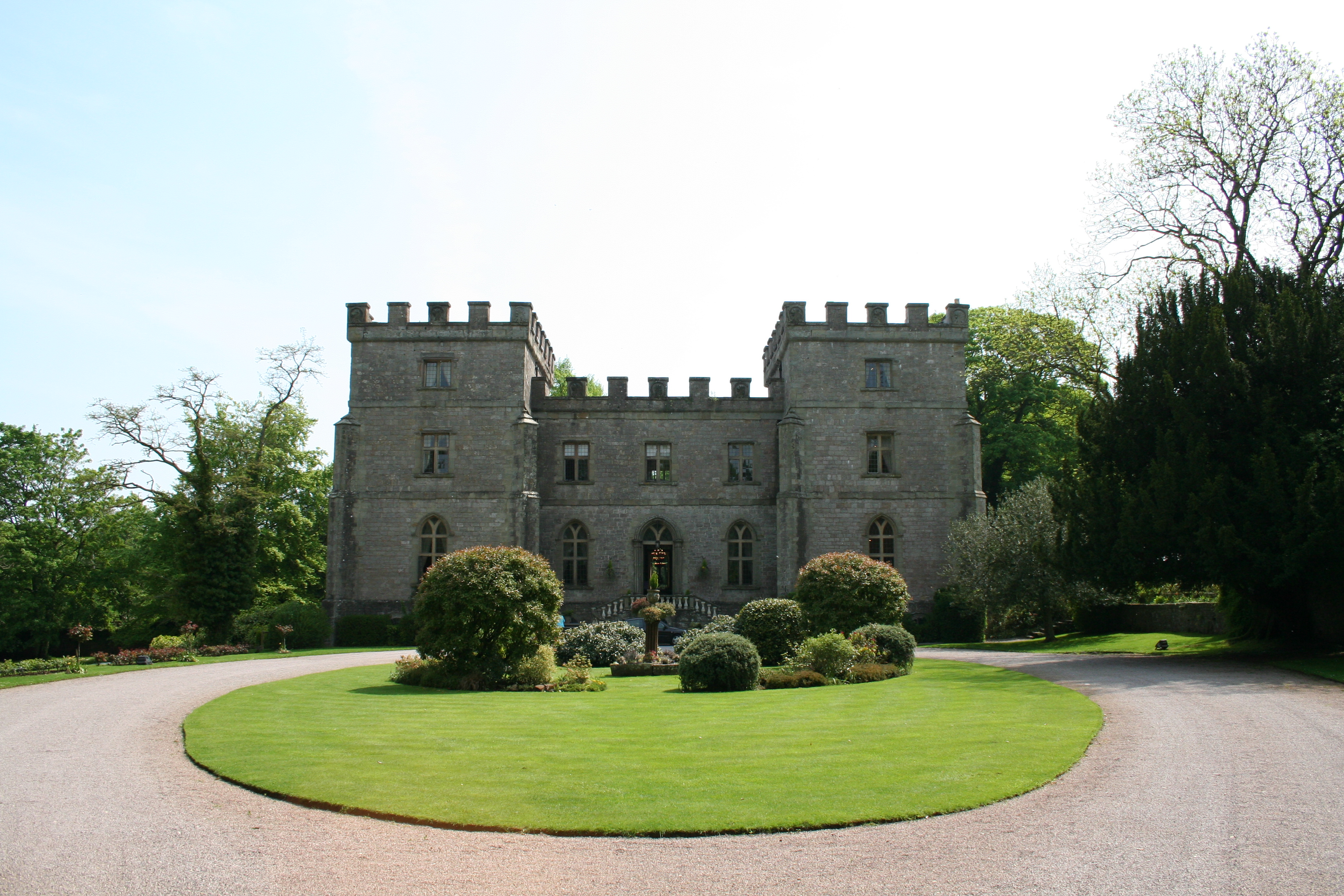
Clearwell Castle
Clearwell Castle in Clearwell, the Forest of Dean, Gloucestershire, is a Gothic Revival house constructed from 1727. Built by Thomas Wyndham to the designs...

Milkwall
Milkwall is a village in the Forest of Dean in Gloucestershire, England. It lies between the village of Sling to the south, and the town of Coleford to...

Puzzlewood
Puzzlewood (grid reference SO578092) is an ancient woodland site and tourist attraction, near Coleford in the Forest of Dean, Gloucestershire, England...
Nearby Amenities
Located within 500m of 51.769285,-2.6123465Have you been to Dean Pool?
Leave your review of Dean Pool below (or comments, questions and feedback).