Cleat Hill

Settlement in Bedfordshire

England

Cleat Hill

Roundabout on Hookhams Lane, Bedford This is the first main road entering Bedford from this direction.
Roundabout on Hookhams Lane, Bedford Credit: David Howard

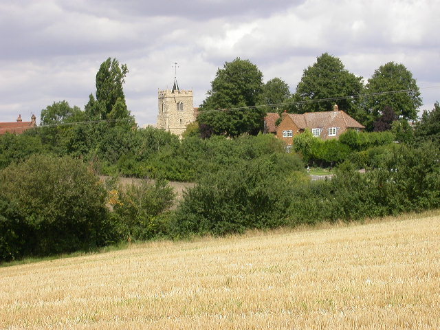
Cleat Hill is a small village located in the county of Bedfordshire, England. Situated approximately 5 miles south of the town of Bedford, Cleat Hill is nestled in a picturesque rural setting, surrounded by rolling hills and open countryside.

The village itself is characterized by its quaint charm and traditional English architecture. It consists of a handful of residential properties, a village hall, and a small local church, which serves as the spiritual hub of the community.

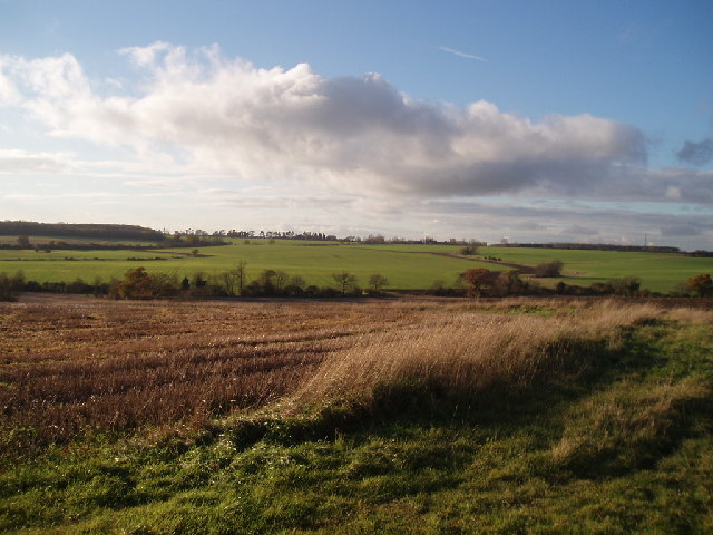
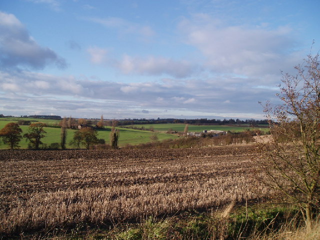
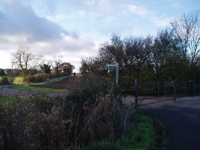
Cleat Hill enjoys a peaceful and tranquil atmosphere, making it an ideal retreat for those looking to escape the hustle and bustle of city life. The surrounding natural beauty of the area provides ample opportunities for outdoor activities such as hiking, cycling, and horse riding. The village is also located near several nature reserves, offering visitors the chance to explore and observe a diverse range of wildlife.

Despite its small size, Cleat Hill benefits from its proximity to the nearby town of Bedford. Residents have easy access to a range of amenities, including shops, restaurants, schools, and healthcare facilities. Additionally, the village is well-connected by road, with the A428 providing direct links to both Bedford and the nearby city of Milton Keynes.

Overall, Cleat Hill offers a peaceful and idyllic setting for those seeking a rural retreat, while still providing convenient access to nearby towns and cities.

If you have any feedback on the listing, please let us know in the comments section below.
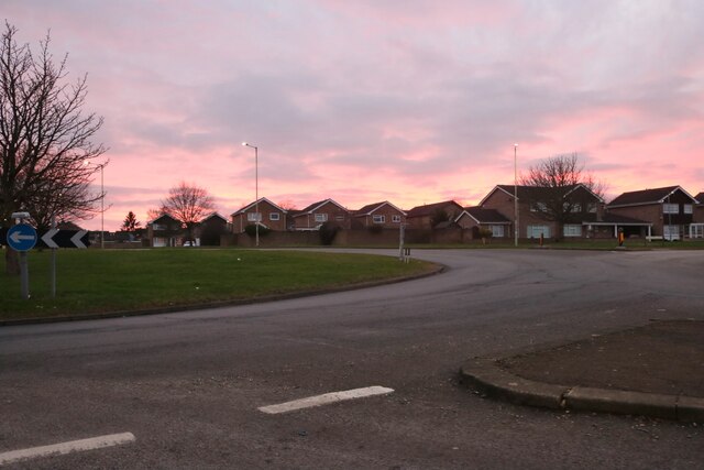
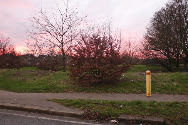
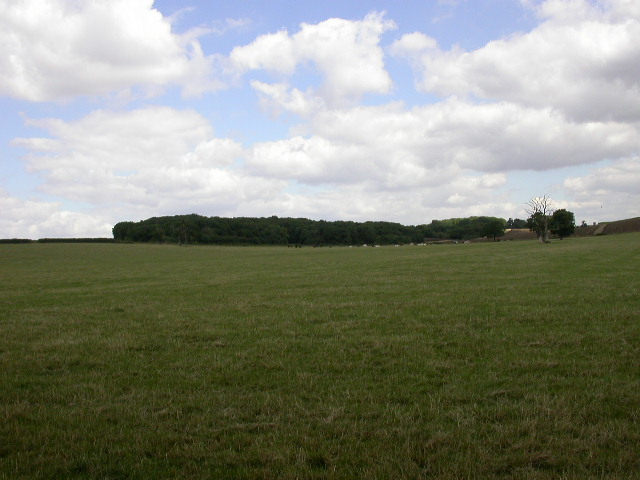
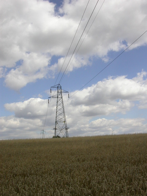
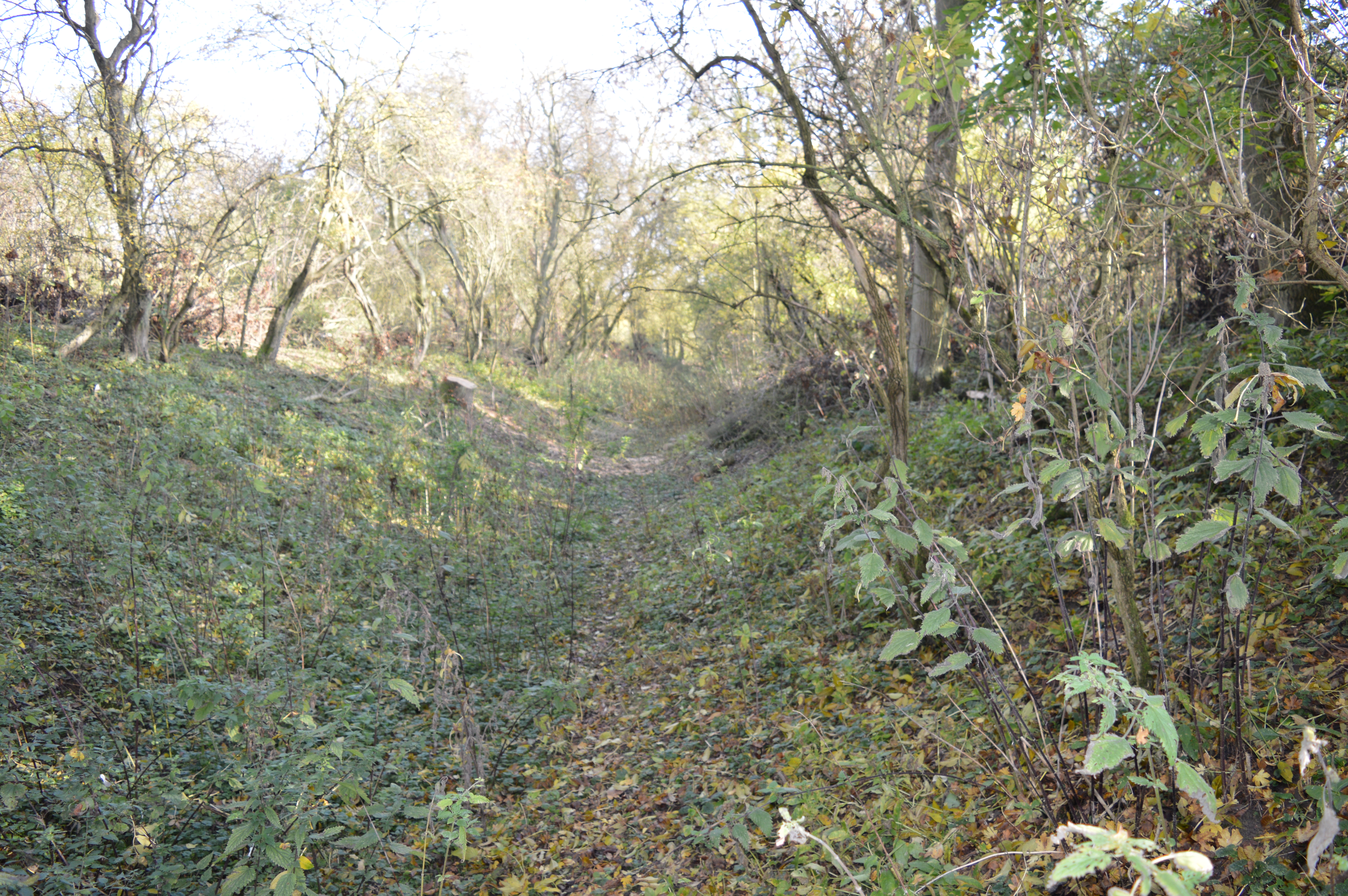
Cleat Hill Images

Images are sourced within 2km of 52.16882/-0.44673094 or Grid Reference TL0653. Thanks to Geograph Open Source API. All images are credited.

Roundabout on Hookhams Lane, Bedford This is the first main road entering Bedford from this direction.
Roundabout on Hookhams Lane, Bedford
This is the first main road entering Bedford from this direction.
Houses on Hookhams Lane, Salph End
Park by Hookhams Lane, Salph End Entering the urban area of Bedford
Park by Hookhams Lane, Salph End
Entering the urban area of Bedford
Sunset over Hookhams Lane, Salph End
Thatched cottage on Wilden Road, Salph End
Great and Little Woods The left section is The Great Wood.  Little Wood is to the right.
Great and Little Woods
The left section is The Great Wood. Little Wood is to the right.
The Plantation The map shows buildings inside this wood and a mast can be seen on the photograph.
The Plantation
The map shows buildings inside this wood and a mast can be seen on the photograph.
Electricity Pylons They run from south-west to north-east.
Electricity Pylons
They run from south-west to north-east.
Pylons View east from a footpath running south under the pylons.
Pylons
View east from a footpath running south under the pylons.
Brook Cottage, Renhold On the northern edge of the south section of Renhold - on the road which connects the two sections.
Brook Cottage, Renhold
On the northern edge of the south section of Renhold - on the road which connects the two sections.
Telephone Box (and signs), Renhold Village At the junction of the main road through Renhold and a road running west (initially) to Bedford - approx. ref. TL079527.
Telephone Box (and signs), Renhold Village
At the junction of the main road through Renhold and a road running west (initially) to Bedford - approx. ref. TL079527.
Cottage behind Polhill Arms The cottages are on the part of the main road through Renhold which veers north to connect the easternmost section of the village with the rest of it.The village is very long and clusters thinly around the main road.
Cottage behind Polhill Arms
The cottages are on the part of the main road through Renhold which veers north to connect the easternmost section of the village with the rest of it.The village is very long and clusters thinly around the main road.
Freshly Ploughed Field Parts of Bedford are shown in the distance.
Freshly Ploughed Field
Parts of Bedford are shown in the distance.
Church at Ravensden All Saints Church. The original tower was C12th but the one seen in the image is a C15th replacement.
Church at Ravensden
All Saints Church. The original tower was C12th but the one seen in the image is a C15th replacement.
Clapham park wood Looking towards some houses in Clapham Park, which have these woodlands as their back garden
Clapham park wood
Looking towards some houses in Clapham Park, which have these woodlands as their back garden
Hills to the back of Brickhill View from the Cleat Hill to Graze Hill road, looking across to Clapham Park wood on the left horizon
Hills to the back of Brickhill
View from the Cleat Hill to Graze Hill road, looking across to Clapham Park wood on the left horizon
View from Graze Hill With Highfield House on the right
View from Graze Hill
With Highfield House on the right
Entrance to Outfields farm
Show me another place!

Cleat Hill is located at Grid Ref: TL0653 (Lat: 52.16882, Lng: -0.44673094)

Unitary Authority: Bedford

Police Authority: Bedfordshire

What 3 Words

///regulates.centuries.wedge. Near Clapham, Bedfordshire

Nearby Locations

Mowsbury Hill Cleat Hill

Related Wikis

Mowsbury Hill

Mowsbury Hill is a 2.8 hectare Local Nature Reserve and Scheduled Monument in north Bedford. It is owned and managed by Bedford Borough Council with the...

Freeman's Common

Freeman's Common is a 12.5 hectare area of land situated to the north of Bedford, in the parish of Ravensden. It was created in 1858. Over many years...

Putnoe Wood

Putnoe Wood is a 10.4 hectare Local Nature Reserve located in the Putnoe area of Bedford. It is owned by Bedford Borough Council and maintained by the...

Mark Rutherford School

Mark Rutherford School is a mixed secondary school and sixth form in Bedford, England. The school is named in honour of the Bedford-born writer William...

Nearby Amenities

Located within 500m of 52.16882,-0.44673094
Mowsbury Golf and Squash Complex
Addr City: Bedford
Addr Country: GB
Addr Housenumber: 33
Addr Postcode: MK41 8BJ
Addr Street: Cleat Hill
Fhrs Authority: Bedford
Fhrs Id: 1087844
Fhrs Local Authority Id: 127017
Leisure: sports_centre
Sport: golf
Lat/Long: 52.1668089/-0.4466651
Cleat Hill
Place: locality
Lat/Long: 52.1689704/-0.4472717
Power: tower
Source: bing
Lat/Long: 52.1656302/-0.4431323
Power: tower
Source: bing
Lat/Long: 52.1646081/-0.4476882
Man Made: tower
Source: bing
Tower Type: communication
Lat/Long: 52.1723043/-0.4510757
Board Type: notice
Information: board
Operator: Ravenden Parish Council
Tourism: information
Lat/Long: 52.1651423/-0.449447
The data included in this document is from www.openstreetmap.org. The data is made available under ODbL.

Have you been to Cleat Hill?

Leave your review of Cleat Hill below (or comments, questions and feedback).