Mallaigvaig

Settlement in Inverness-shire

Scotland

Mallaigvaig

Tigh na Mara Marina Mallaig Harbour.
Tigh na Mara Marina Credit: John Lucas

The requested URL returned error: 429 Too Many Requests

If you have any feedback on the listing, please let us know in the comments section below.
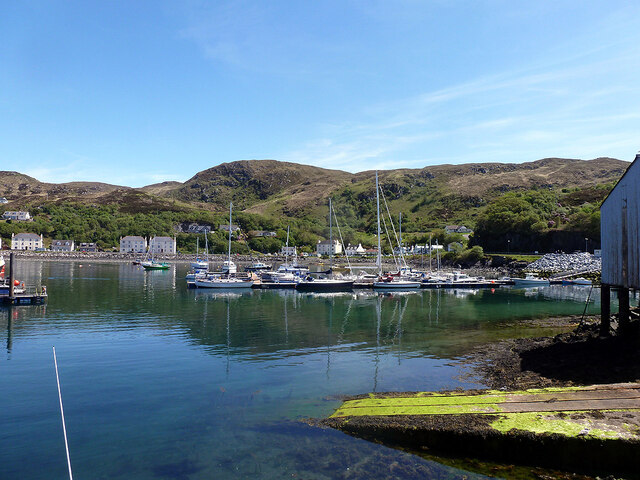
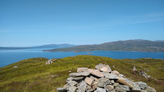
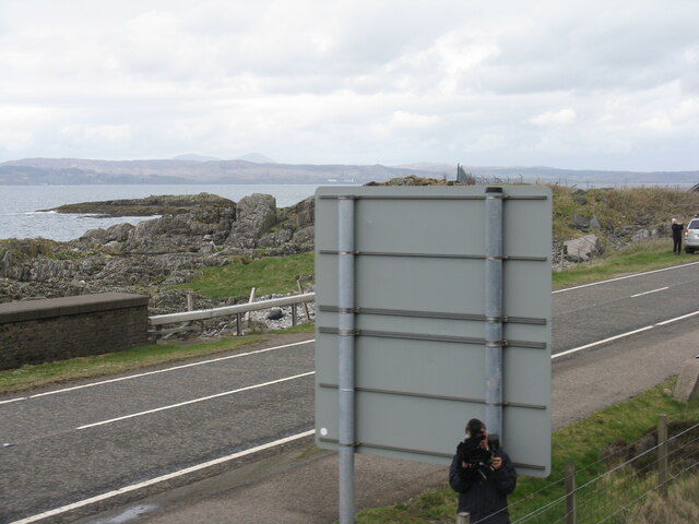
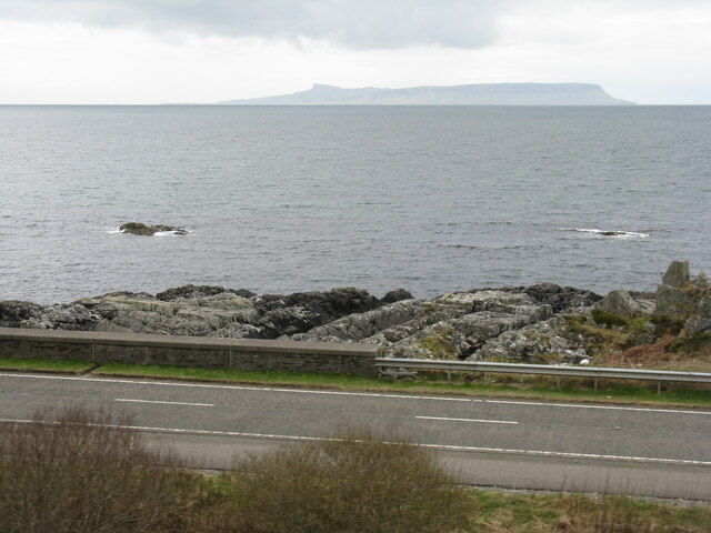
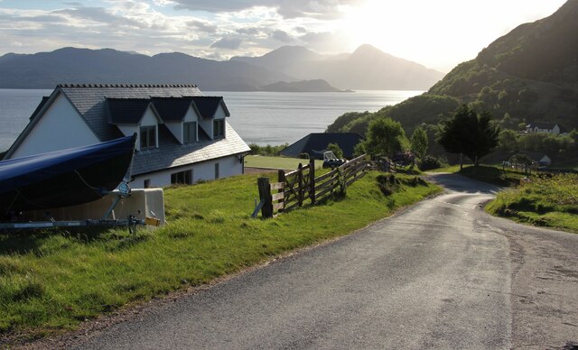
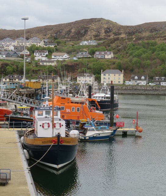
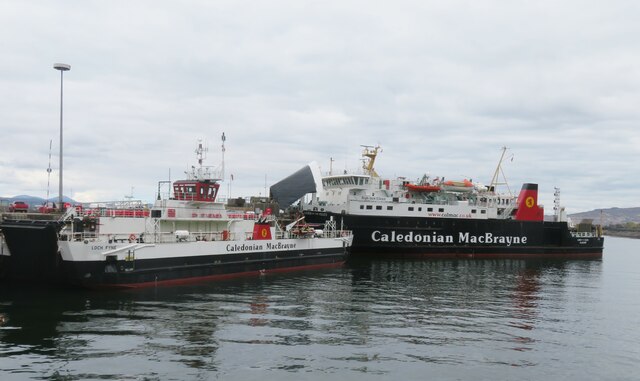
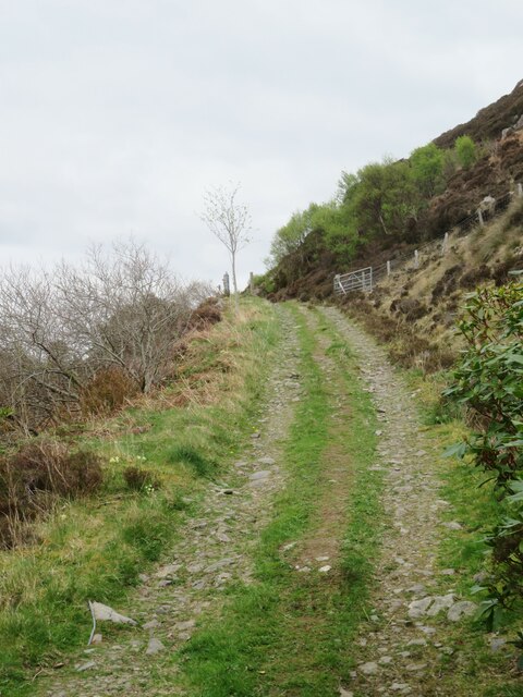
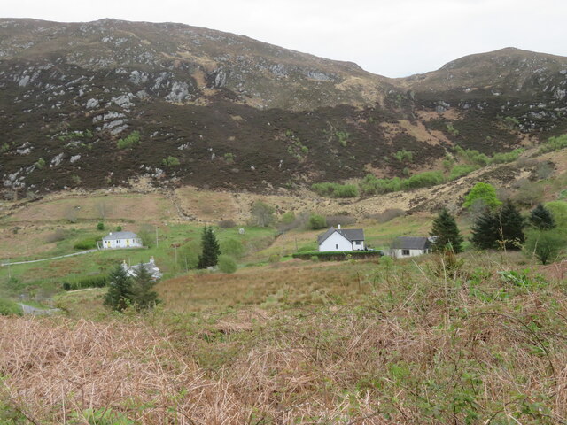
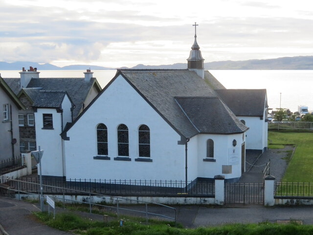
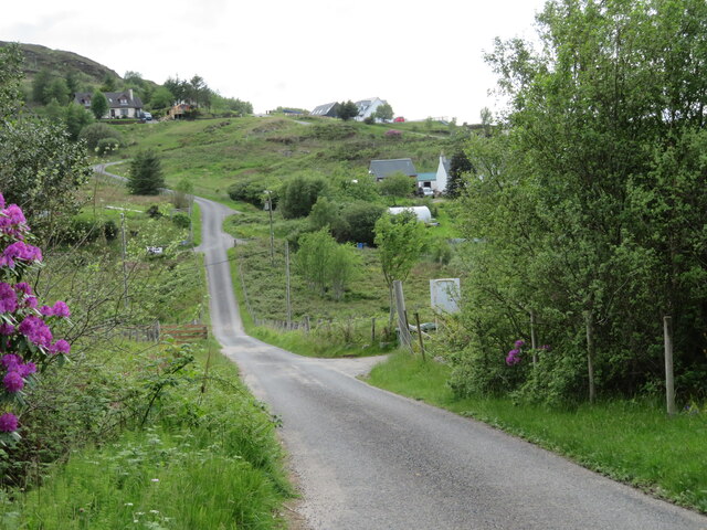
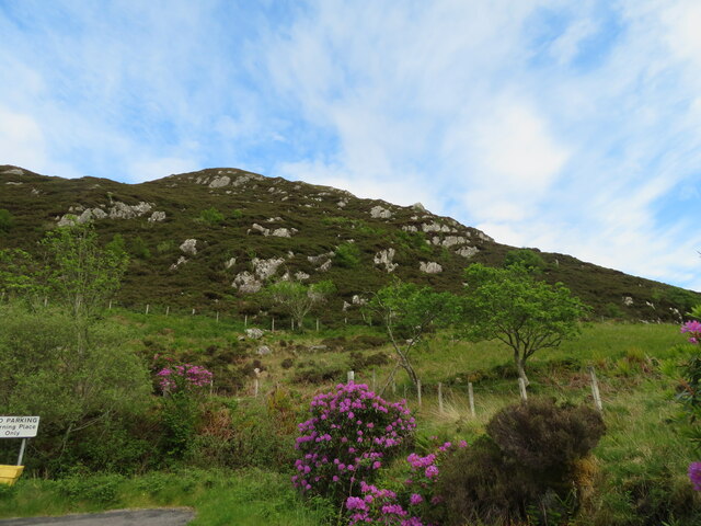
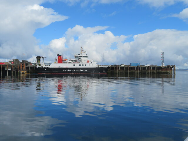
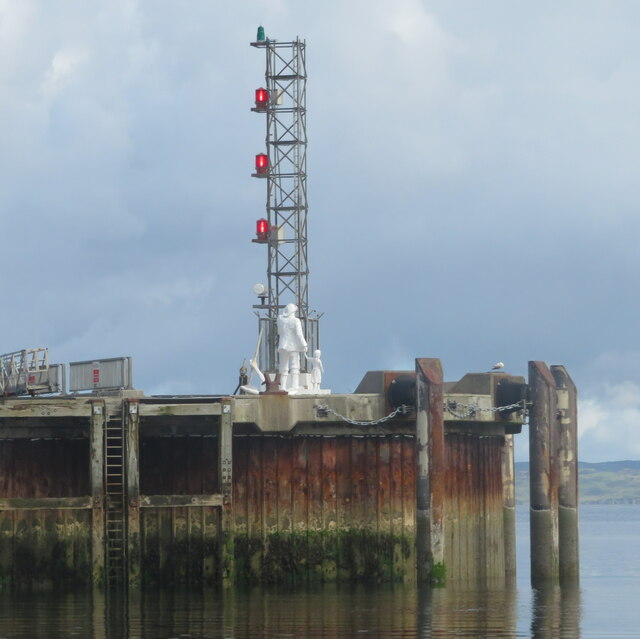
Mallaigvaig Images

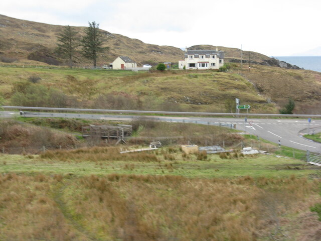
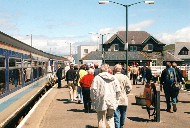
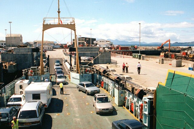
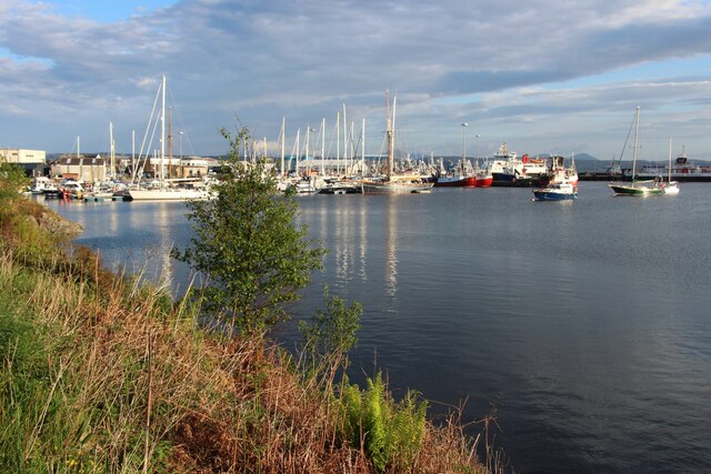
Images are sourced within 2km of 57.005671/-5.8223133 or Grid Reference NM6897. Thanks to Geograph Open Source API. All images are credited.

Tigh na Mara Marina Mallaig Harbour.
Tigh na Mara Marina
Mallaig Harbour.
Cruach Mhalaig Looking north towards western edge of Knoydart from Cruach Mhalaig.
Cruach Mhalaig
Looking north towards western edge of Knoydart from Cruach Mhalaig.
Train spotting at Mallaig Filming 'The Jacobite' steam-hauled Inverness-Mallaig train as it approaches Mallaig station, running parallel with the A830. The land beyond is the Isle of Skye.
Train spotting at Mallaig
Filming 'The Jacobite' steam-hauled Inverness-Mallaig train as it approaches Mallaig station, running parallel with the A830. The land beyond is the Isle of Skye.
The island of Eigg Looking across the Sound of Sleat from the Inverness-Mallaig train as it approaches Mallaig station, running parallel with the A830. Eigg is just about 20km away.
The island of Eigg
Looking across the Sound of Sleat from the Inverness-Mallaig train as it approaches Mallaig station, running parallel with the A830. Eigg is just about 20km away.
Parkmhor, near Mallaig At the junction of the A830 and B8008 south of Mallaig.
Parkmhor, near Mallaig
At the junction of the A830 and B8008 south of Mallaig.
On the way to Skye (mainly) Passengers disembarking from the train at Mallaig. Most will be catching the ferry to Armadale.
On the way to Skye (mainly)
Passengers disembarking from the train at Mallaig. Most will be catching the ferry to Armadale.
Skye ferry at Mallaig The last cars are just being brought on to the ferry before departure.
Skye ferry at Mallaig
The last cars are just being brought on to the ferry before departure.
Mallaig marina
Mallaig marina
New house at Malaig Bheag
Mallaig Harbour In the foreground is the 'Western Isles' boat that provides a ferry service along Loch Nevis to Inverie. The boat must be around 80 years old, but is sturdily built and even has a bar! Beyond is the local lifeboat, the Henry Alston Hewat.
Mallaig Harbour
In the foreground is the 'Western Isles' boat that provides a ferry service along Loch Nevis to Inverie. The boat must be around 80 years old, but is sturdily built and even has a bar! Beyond is the local lifeboat, the Henry Alston Hewat.
CalMac at Mallaig Two CalMac vessels at Mallaig. The nearer one is the MV Loch Fyne, which is the ferry for Armadale on Skye, whilst the larger Lord of the Isles plies the route to Lochboisdale on South Uist.
CalMac at Mallaig
Two CalMac vessels at Mallaig. The nearer one is the MV Loch Fyne, which is the ferry for Armadale on Skye, whilst the larger Lord of the Isles plies the route to Lochboisdale on South Uist.
Track to Mallaigmore This track leads onwards from the road end at Mallaig Bheag, but for anyone reaching here by car and anticipating a walk there will be disappointment as there is no parking at the road end, whilst opportunities further back towards Mallaig are also few and far between.
Track to Mallaigmore
This track leads onwards from the road end at Mallaig Bheag, but for anyone reaching here by car and anticipating a walk there will be disappointment as there is no parking at the road end, whilst opportunities further back towards Mallaig are also few and far between.
Malaig Bheag Maps seem to differ here as this can be either 'Malaig' or 'Mallaig'. There's a scattering of houses along the valley, whilst the dyke which defines edge of the improved ground at the base of the rocky hill, also roughly coincides with the eastern edge of the grid square.
Malaig Bheag
Maps seem to differ here as this can be either 'Malaig' or 'Mallaig'. There's a scattering of houses along the valley, whilst the dyke which defines edge of the improved ground at the base of the rocky hill, also roughly coincides with the eastern edge of the grid square.
St Patrick's Church, Mallaig On Victoria Road, overlooking the Sound of Sleat.
St Patrick's Church, Mallaig
On Victoria Road, overlooking the Sound of Sleat.
Malaig Bheag - Little Mallaig Looking west from near the road end.
Malaig Bheag - Little Mallaig
Looking west from near the road end.
The end of the road At Malaig Bheag, an eastern extension of Mallaig/Malaig.
The end of the road
At Malaig Bheag, an eastern extension of Mallaig/Malaig.
Lochnevis/Loch Nibheis One of CalMac's ferries that serves the Small Isles moored at Mallaig.
Lochnevis/Loch Nibheis
One of CalMac's ferries that serves the Small Isles moored at Mallaig.
Mallaig harbour lights And a statue of a fisherman holding the hand of a young girl pointing out to sea. It was sculpted by Mark Rogers and gifted to Mallaig in 2006 <span class="nowrap"><a title="https://www.westword.org.uk/sept2006.html" rel="nofollow ugc noopener" href="https://www.westword.org.uk/sept2006.html">Link</a><img style="margin-left:2px;" alt="External link" title="External link - shift click to open in new window" src="https://s1.geograph.org.uk/img/external.png" width="10" height="10"/></span> .
Mallaig harbour lights
And a statue of a fisherman holding the hand of a young girl pointing out to sea. It was sculpted by Mark Rogers and gifted to Mallaig in 2006 LinkExternal link .
Show me another place!

Mallaigvaig is located at Grid Ref: NM6897 (Lat: 57.005671, Lng: -5.8223133)

Unitary Authority: Highland

Police Authority: Highlands and Islands

What 3 Words

///truck.flags.paddlers. Near Armadale, Highland

Related Wikis

Mallaig

Mallaig ( ; Scottish Gaelic: Malaig [ˈmal̪ˠɛkʲ]) is a port in Morar, on the west coast of the Highlands of Scotland. It faces Skye from across the Sound...

Mallaig railway station

Mallaig railway station is a railway station serving the ferry port of Mallaig, Lochaber, in the Highland region of Scotland. This station is a terminus...

Mallaig High School

Mallaig High School is a secondary school in Mallaig, Lochaber, Scotland. The school building opened in 1989. The current Acting Head Teacher is Pamela...

Loch an Nostarie

Loch an Nostarie is an irregular shaped shallow freshwater loch that lies about a mile north of the west-end of Loch Morar and about a mile south-east...

Nearby Amenities

Located within 500m of 57.005671,-5.8223133
Crossing
Crossing: uncontrolled
Crossing Island: no
Crossing Markings: zebra
Crossing Ref: zebra
Tactile Paving: yes
Lat/Long: 57.0043015/-5.8297689
Source: PGS
Lat/Long: 57.009731/-5.8222363
Source: PGS
Lat/Long: 57.0093294/-5.822504
Source: PGS
Lat/Long: 57.0079802/-5.8228441
Source: PGS
Lat/Long: 57.0075747/-5.8228274
Source: PGS
Lat/Long: 57.0062623/-5.822332
Source: PGS
Lat/Long: 57.0055687/-5.8224279
Source: PGS
Lat/Long: 57.0049215/-5.8225234
Source: PGS
Lat/Long: 57.0045014/-5.8232233
Source: PGS
Lat/Long: 57.0045758/-5.8277261
Source: PGS
Lat/Long: 57.0048469/-5.827745
Source: PGS
Lat/Long: 57.0051046/-5.8276742
Source: PGS
Lat/Long: 57.0055557/-5.8284792
Source: PGS
Lat/Long: 57.0060372/-5.8256258
Source: PGS
Lat/Long: 57.0061805/-5.82558
Source: PGS
Lat/Long: 57.0062777/-5.8266976
Source: PGS
Lat/Long: 57.0060323/-5.827858
Source: PGS
Lat/Long: 57.0063681/-5.8281377
Source: PGS
Lat/Long: 57.0064469/-5.8278051
Source: PGS
Lat/Long: 57.0065382/-5.8278804
Source: PGS
Lat/Long: 57.0067738/-5.8268066
Source: PGS
Lat/Long: 57.0072266/-5.82698
Source: PGS
Lat/Long: 57.0076965/-5.8250061
Source: PGS
Lat/Long: 57.0080078/-5.8260753
Source: PGS
Lat/Long: 57.0079594/-5.8262954
Source: PGS
Lat/Long: 57.0076075/-5.8260155
Source: PGS
Lat/Long: 57.0071521/-5.828062
Source: PGS
Lat/Long: 57.0077471/-5.828467
Source: PGS
Lat/Long: 57.0076031/-5.8292486
Source: PGS
Lat/Long: 57.0085103/-5.8262344
Source: PGS
Lat/Long: 57.008267/-5.8260606
Source: PGS
Lat/Long: 57.0083126/-5.8258412
Source: PGS
Lat/Long: 57.0086783/-5.826118
Source: PGS
Lat/Long: 57.0088042/-5.8265434
Source: PGS
Lat/Long: 57.0084359/-5.8283367
Source: PGS
Lat/Long: 57.0084829/-5.82854
Mallaig
Is In: Highland, Scotland, UK
Name Gd: Malaig
Place: village
Population: 670
Wikidata: Q1010557
Wikipedia: en:Mallaig
Lat/Long: 57.0061325/-5.8294488
Railway: buffer_stop
Lat/Long: 57.0059938/-5.8296636
Bus Stop
Service Point
Bench: no
Bin: no
Bus: yes
Lit: yes
Naptan AtcoCode: 670013010
Naptan Bearing: SE
Naptan CommonName: Service Point
Naptan Indicator: o/s
Naptan Landmark: Service Point
Naptan NaptanCode: 45326826
Naptan Street: Station Road
Naptan Verified: no
Public Transport: platform
Shelter: yes
Source: naptan_import
Tactile Paving: no
Lat/Long: 57.0051328/-5.8283116
Bus Stop
Service Point
Bench: no
Bin: no
Bus: yes
Lit: yes
Naptan AtcoCode: 670013010A
Naptan Bearing: NW
Naptan CommonName: Service Point
Naptan Indicator: opp
Naptan Landmark: Service Point
Naptan NaptanCode: 45326827
Naptan Street: Station Road
Naptan Verified: no
Public Transport: platform
Shelter: yes
Source: naptan_import
Tactile Paving: no
Lat/Long: 57.0050859/-5.8284457
Bus Stop
Bench: no
Bin: no
Bus: yes
Naptan AtcoCode: 670013011
Naptan Indicator: Bus Shelter
Naptan Landmark: Bus Shelter
Naptan NaptanCode: 45326828
Naptan Street: Lochnevis Terrace
Naptan Verified: no
Public Transport: platform
Shelter: yes
Source: naptan_import
Tactile Paving: no
Lat/Long: 57.0095116/-5.8209887
Bus Stop
Coteachan Hill
Bus: yes
Naptan AtcoCode: 670013012
Naptan Bearing: W
Naptan CommonName: Coteachan Hill
Naptan Indicator: Bus Shelter o/s Fire Station
Naptan Landmark: Bus Shelter
Naptan NaptanCode: 45326832
Naptan Street: Lochnevis Terrace
Naptan Verified: no
Public Transport: platform
Source: naptan_import
Lat/Long: 57.0085485/-5.8206768
Bus Stop
Coteachan Hill
Bus: yes
Naptan AtcoCode: 6700712961
Naptan Bearing: SW
Naptan CommonName: Coteachan Hill
Naptan Indicator: Bus shelter
Naptan Landmark: at Blaven View
Naptan NaptanCode: 45328425
Naptan Street: Coteachan Hill
Naptan Verified: no
Public Transport: platform
Source: naptan_import
Lat/Long: 57.0090368/-5.8182866
Railway: switch
Lat/Long: 57.005505/-5.8303889
Restaurant
The Tea Garden Cafe
Air Conditioning: no
Diet Vegetarian: yes
Lat/Long: 57.0054926/-5.8289573
Marine Hotel
Tourism: hotel
Lat/Long: 57.0057384/-5.829294
Pub
Marine Bar
Lat/Long: 57.0056817/-5.8291921
The Co-operative Food
Brand: The Co-operative Food
Brand Wikidata: Q107617274
Opening Hours: Mo-Su 07:00-22:00
Operator: The Co-operative Group
Operator Wikidata: Q117202
Shop: supermarket
Website: https://www.coop.co.uk/store-finder/PH41-4PY/station-road
Lat/Long: 57.0059043/-5.8289257
Post Box
Check Date: 2022-06-22
Collection Times: Mo-Fr 15:30; Sa 11:45; Su off
Post Box Type: pillar
Ref: PH41 1
Royal Cypher: scottish_crown
Source: survey
Lat/Long: 57.0050676/-5.8293803
Restaurant
The Fishmarket
Contact Website: http://www.thefishmarketrestaurant.co.uk/
Lat/Long: 57.0056423/-5.8286403
Restaurant
Cornerstone
Name Gd: Clach na h-Oisne
Lat/Long: 57.0052174/-5.8287455
Fast Food
Nuri's
Cuisine: coffee_shop
Outdoor Seating: yes
Lat/Long: 57.0066471/-5.8278285
Ferry Terminal
Ferry: yes
Public Transport: station
Lat/Long: 57.0058682/-5.8278428
Bank
Bank of Scotland
Addr Country: GB
Atm: yes
Brand: Bank of Scotland
Brand Wikidata: Q627381
Brand Wikipedia: en:Bank of Scotland
Contact Website: https://branches.bankofscotland.co.uk/mallaig/main-street
Opening Hours: Mo-Fr 10:00-14:00
Lat/Long: 57.0056009/-5.8290841
Tourism: picnic_site
Lat/Long: 57.009858/-5.8211197
Post Office
Mallaig Post Office
Addr Country: GB
Addr Postcode: PH41 4PU
Brand: Post Office
Brand Wikidata: Q1783168
Contact Website: https://www.postoffice.co.uk/branch-finder/1168282/mallaig
Ref Pol Id: 1818
Lat/Long: 57.0051289/-5.8293876
Mallaig
Public Transport: stop_position
Railway: stop
Train: yes
Lat/Long: 57.0057718/-5.830031
Railway: buffer_stop
Lat/Long: 57.0057609/-5.82968
Railway: buffer_stop
Lat/Long: 57.0056106/-5.8304249
Turning Circle
Lat/Long: 57.0037816/-5.823982
Crossing
Crossing: uncontrolled
Crossing Island: no
Kerb: lowered
Tactile Paving: yes
Lat/Long: 57.0063303/-5.8291193
Entrance: yes
Lat/Long: 57.0062953/-5.8288229
Entrance: yes
Lat/Long: 57.0061969/-5.8287254
Entrance: yes
Lat/Long: 57.0059655/-5.8294793
Entrance: yes
Lat/Long: 57.0060651/-5.8292996
Crossing
Crossing: uncontrolled
Crossing Island: no
Crossing Ref: zebra
Kerb: lowered
Tactile Paving: yes
Lat/Long: 57.0059721/-5.8293505
Crossing
Crossing: uncontrolled
Crossing Island: no
Crossing Ref: zebra
Tactile Paving: yes
Lat/Long: 57.0060107/-5.8299832
Crossing: uncontrolled
Lat/Long: 57.0053007/-5.8285664
Telephone
Booth: KX100
Check Date: 2021-06-14
Covered: booth
Phone: +44 1687 462 052
Lat/Long: 57.00451/-5.8282002
Parking
Access: private
Parking: surface
Lat/Long: 57.003279/-5.8284592
Parking
Parking: surface
Lat/Long: 57.0046263/-5.8287364
Creag a' Chait
Place: locality
Lat/Long: 57.0046993/-5.8161039
Mallaig
Electrified: no
Gauge: 1435
Public Transport: stop_position
Railway: stop
Train: yes
Lat/Long: 57.0056925/-5.8298923
Ticket Office
Information: office
Operator: Scotrail
Shop: ticket
Lat/Long: 57.005932/-5.8296303
Seamark Mooring Category: buoy
Seamark Mooring Colour: white
Seamark Mooring Shape: conical
Seamark Type: mooring
Source: bing
Lat/Long: 57.005037/-5.8250619
Seamark Mooring Category: buoy
Seamark Mooring Colour: white
Seamark Mooring Shape: conical
Seamark Type: mooring
Source: bing
Lat/Long: 57.0050923/-5.8243894
Seamark Mooring Category: buoy
Seamark Mooring Colour: white
Seamark Mooring Shape: conical
Seamark Type: mooring
Source: bing
Lat/Long: 57.0051992/-5.8238709
Seamark Mooring Category: buoy
Seamark Mooring Colour: white
Seamark Mooring Shape: conical
Seamark Type: mooring
Source: bing
Lat/Long: 57.005264/-5.8242247
Seamark Mooring Category: buoy
Seamark Mooring Colour: white
Seamark Mooring Shape: conical
Seamark Type: mooring
Source: bing
Lat/Long: 57.0053155/-5.8250269
Seamark Mooring Category: buoy
Seamark Mooring Colour: white
Seamark Mooring Shape: conical
Seamark Type: mooring
Source: bing
Lat/Long: 57.0053308/-5.8237413
Seamark Mooring Category: buoy
Seamark Mooring Colour: white
Seamark Mooring Shape: conical
Seamark Type: mooring
Source: bing
Lat/Long: 57.0053613/-5.8237869
Seamark Mooring Category: buoy
Seamark Mooring Colour: white
Seamark Mooring Shape: conical
Seamark Type: mooring
Source: bing
Lat/Long: 57.0054357/-5.8249604
Seamark Mooring Category: buoy
Seamark Mooring Colour: white
Seamark Mooring Shape: conical
Seamark Type: mooring
Source: bing
Lat/Long: 57.0055025/-5.8240741
Seamark Mooring Category: buoy
Seamark Mooring Colour: white
Seamark Mooring Shape: conical
Seamark Type: mooring
Source: bing
Lat/Long: 57.0055597/-5.8236573
Seamark Mooring Category: buoy
Seamark Mooring Colour: white
Seamark Mooring Shape: conical
Seamark Type: mooring
Source: bing
Lat/Long: 57.0056684/-5.823941
Seamark Mooring Category: buoy
Seamark Mooring Colour: white
Seamark Mooring Shape: conical
Seamark Type: mooring
Source: bing
Lat/Long: 57.0056799/-5.8235697
Seamark Mooring Category: buoy
Seamark Mooring Colour: white
Seamark Mooring Shape: conical
Seamark Type: mooring
Source: bing
Lat/Long: 57.0057238/-5.8248728
Railway: buffer_stop
Lat/Long: 57.0058061/-5.8297107
Entrance: yes
Lat/Long: 57.0058692/-5.8296921
Fast Food
J. Lawrie & Sons
Cuisine: fish_and_chips
Lat/Long: 57.005899/-5.8294949
Seamark Mooring Category: buoy
Seamark Mooring Colour: white
Seamark Mooring Shape: conical
Seamark Type: mooring
Source: bing
Lat/Long: 57.0059374/-5.8243018
Seamark Mooring Category: buoy
Seamark Mooring Colour: white
Seamark Mooring Shape: conical
Seamark Type: mooring
Source: bing
Lat/Long: 57.0067052/-5.8249552
Flag Type: national
Height: 6
Man Made: flagpole
Nationality: Scotland
Lat/Long: 57.0044855/-5.8265924
Mallaig Fishery Office
Addr City: Mallaig
Addr Postcode: PH41 4QB
Addr Street: Harbour Offices
Office: government
Lat/Long: 57.0062499/-5.8287809
The Moorings B&B
Internet Access: wlan
Internet Access Fee: no
Phone: +44 1687462225
Smoking: no
Tourism: guest_house
Wheelchair: no
Lat/Long: 57.0041794/-5.8278586
Mallaig Backpackers
Addr City: Mallaig
Addr Postcode: PH41 4PU
Addr Street: Davie's Brae
Phone: +44 1687 462764
Source: http://www.mallaigbackpackers.co.uk/
Tourism: hostel
Lat/Long: 57.0054802/-5.8290331
Springbank Guest House
Addr City: Mallaig
Addr Postcode: PH41 4QF
Addr Street: East Bay
Phone: +44 1687 462459
Tourism: guest_house
Website: https://springbank-mallaig.co.uk/
Lat/Long: 57.0042101/-5.8229023
Seaview Guesthouse
Addr City: Mallaig
Addr Postcode: PH41 4QS
Addr Street: East Bay
Phone: +44 1687 462059
Tourism: guest_house
Website: https://www.seaviewguesthousemallaig.com/
Lat/Long: 57.0048104/-5.8285913
The Harbour Shop
Shop: convenience
Lat/Long: 57.0052878/-5.8287579
Cafe
An Cala
Lat/Long: 57.0062676/-5.8289262
Harbour Hi-Lights
Female Signed: no
Male Signed: no
Shop: hairdresser
Lat/Long: 57.0051155/-5.8285266
Restaurant
The Cabin
Lat/Long: 57.0053527/-5.8291372
Cornerstone B&B
Tourism: guest_house
Lat/Long: 57.0051846/-5.8288416
Cafe
The Mallaig Cafe
Alt Name: Jac-o-Bites
Lat/Long: 57.0061675/-5.8291658
Art Gallery and Crafts
Shop: art
Lat/Long: 57.0057025/-5.828746
Mallaig Toys & Gifts
Opening Hours: Mo-Sa 10:00-17:30; Su 12:00-17:00
Shop: toys
Lat/Long: 57.0057704/-5.8288059
The Highlands Koo Company
Shop: clothes
Lat/Long: 57.0061204/-5.8293242
Toilets
Access: yes
Fee: no
Level: 0
Wheelchair: designated
Lat/Long: 57.0068459/-5.8282133
Material: wood
Power: pole
Lat/Long: 57.005753/-5.8160108
Material: wood
Power: pole
Lat/Long: 57.0050358/-5.8175236
Power: pole
Lat/Long: 57.0022182/-5.8184946
Harbour: yes
Port Of Entry: no
Seamark Type: harbour
Lat/Long: 57.0085018/-5.8250284
Seamark Small Craft Facility Category: boatyard
Seamark Type: small_craft_facility
Lat/Long: 57.005455/-5.8279279
Seamark Small Craft Facility Category: slipway
Seamark Type: small_craft_facility
Lat/Long: 57.0056508/-5.8277965
Seamark Small Craft Facility Category: showers
Seamark Type: small_craft_facility
Lat/Long: 57.0046546/-5.82807
Seamark Small Craft Facility Category: laundrette
Seamark Type: small_craft_facility
Lat/Long: 57.0047043/-5.8278447
Seamark Small Craft Facility Category: toilets
Seamark Type: small_craft_facility
Lat/Long: 57.0047014/-5.82807
Seamark Small Craft Facility Category: water_tap
Seamark Type: small_craft_facility
Lat/Long: 57.0049672/-5.8261174
Seamark Small Craft Facility Category: electricity
Seamark Type: small_craft_facility
Lat/Long: 57.0049935/-5.8263025
Seamark Small Craft Facility Category: water_tap
Seamark Type: small_craft_facility
Lat/Long: 57.0054521/-5.8259672
Seamark Small Craft Facility Category: electricity
Seamark Type: small_craft_facility
Lat/Long: 57.0054755/-5.8261818
Seamark Small Craft Facility Category: slipway
Seamark Type: small_craft_facility
Lat/Long: 57.0052535/-5.827657
Haggard Alley
Shop: gift
Lat/Long: 57.0052145/-5.8281527
Mallaig
Name Gd: Malaig
Naptan AtcoCode: 9100MLAIG
Network: National Rail
Network Website: https://www.nationalrail.co.uk/stations/mlg/
Network Wikidata: Q26334
Operator: ScotRail
Operator Website: https://www.scotrail.co.uk/plan-your-journey/stations-and-facilities/mlg
Operator Wikidata: Q18356161
Public Transport: station
Railway: station
Ref Crs: MLG
Train: yes
Wikidata: Q3967326
Wikipedia: en:Mallaig railway station
Lat/Long: 57.0055416/-5.8302296
Henry Alston Hewat
Water Rescue
Emergency: water_rescue
Operator: Royal National Lifeboat Institution
Operator Short: RNLI
Operator Wikidata: Q2166873
Seamark Name: Henry Alston Hewat
Seamark Rescue Station Category: lifeboat_on_mooring
Seamark Source: Bing; https://rnli.org/find-my-nearest
Seamark Type: rescue_station
Website: https://rnli.org/find-my-nearest/lifeboat-stations/mallaig-lifeboat-station/mallaig-lifeboat
Lat/Long: 57.005956/-5.8268832
Bench
Helen's Seat
Backrest: yes
Material: wood
Lat/Long: 57.0044479/-5.8251914
Bicycle Parking
Lat/Long: 57.0057891/-5.8298275
Power: pole
Lat/Long: 57.0064845/-5.8145641
Power: pole
Lat/Long: 57.0089605/-5.8192121
Material: wood
Power: pole
Lat/Long: 57.0056063/-5.8178285
Material: wood
Power: pole
Lat/Long: 57.0060764/-5.8180606
Power: pole
Lat/Long: 57.0066862/-5.8179251
Power: pole
Lat/Long: 57.0074412/-5.8177435
Power: pole
Lat/Long: 57.0078697/-5.8176368
Power: pole
Lat/Long: 57.0084355/-5.8175014
Material: wood
Power: pole
Lat/Long: 57.0037776/-5.8231856
Power: pole
Lat/Long: 57.0041771/-5.8220643
Power: pole
Lat/Long: 57.0045263/-5.8211217
Power: pole
Lat/Long: 57.0047657/-5.8208076
Material: wood
Power: pole
Lat/Long: 57.0038247/-5.8270798
Material: wood
Power: pole
Lat/Long: 57.0038341/-5.8265192
Material: wood
Power: pole
Lat/Long: 57.0038482/-5.8256458
Material: wood
Power: pole
Lat/Long: 57.0038302/-5.8250289
Ferry Terminal
Carmac Ferries
Ferry: yes
Public Transport: station
Lat/Long: 57.0073105/-5.8263986
Caledonian MacBrayne
Shop: ticket
Lat/Long: 57.006862/-5.8281211
The Mission Bunkhouse
Internet Access: wlan
Phone: +44 1687 460105
Tourism: hostel
Lat/Long: 57.0060977/-5.8291523
Bench
Backrest: yes
Lat/Long: 57.0037175/-5.8220259
Coteachan
Place: neighbourhood
Lat/Long: 57.0083321/-5.819393
Pub
Chlachain Bar
Diet Vegetarian: yes
Food: yes
Lat/Long: 57.0047663/-5.8294757
Bench
Backrest: yes
Material: wood
Lat/Long: 57.0088831/-5.8216615
Bench
Backrest: yes
Material: wood
Lat/Long: 57.009188/-5.8213155
Bench: yes
Leisure: picnic_table
Material: wood
Lat/Long: 57.0091566/-5.8213638
Waste Basket
Colour: Green
Material: plastic
Lat/Long: 57.0093392/-5.8213155
Bench
Backrest: yes
Material: wood
Lat/Long: 57.0081763/-5.8224388
Bench
Backrest: yes
Material: wood
Lat/Long: 57.0082135/-5.8224683
Bench
Backrest: yes
Material: wood
Lat/Long: 57.0083081/-5.8223563
Information: board
Tourism: information
Lat/Long: 57.0083716/-5.8224321
Waste Basket
Colour: Green
Material: plastic
Lat/Long: 57.0081595/-5.8223007
Bench: yes
Leisure: picnic_table
Lit: no
Material: wood
Lat/Long: 57.0082172/-5.822245
Bench: yes
Leisure: picnic_table
Lit: no
Lat/Long: 57.008261/-5.8224448
Bench: yes
Leisure: picnic_table
Material: wood
Lat/Long: 57.0094319/-5.8211855
Bench
Backrest: yes
Material: wood
Lat/Long: 57.0093998/-5.8211171
Bench
Backrest: yes
Lat/Long: 57.0096181/-5.8209749
Waste Basket
Material: plastic
Waste: trash
Lat/Long: 57.0098288/-5.8210684
Give Way
Direction: backward
Lat/Long: 57.0044186/-5.8298324
RNLI Shop
Operator: Royal National Lifeboat Institution
Operator Short: RNLI
Shop: charity
Lat/Long: 57.0061631/-5.8289551
Source: PGS
Lat/Long: 57.0060372/-5.8256258
Source: PGS
Lat/Long: 57.0060372/-5.8256258
Source: PGS
Lat/Long: 57.0062777/-5.8266976
Source: PGS
Lat/Long: 57.0066292/-5.8282553
Source: PGS
Lat/Long: 57.0060323/-5.827858
Source: PGS
Lat/Long: 57.0066524/-5.82816
Source: PGS
Lat/Long: 57.0067362/-5.8278199
Source: PGS
Lat/Long: 57.0065821/-5.8276901
The data included in this document is from www.openstreetmap.org. The data is made available under ODbL.

Have you been to Mallaigvaig?

Leave your review of Mallaigvaig below (or comments, questions and feedback).