Rubha Bàn
Coastal Feature, Headland, Point in Inverness-shire
Scotland
Rubha Bàn
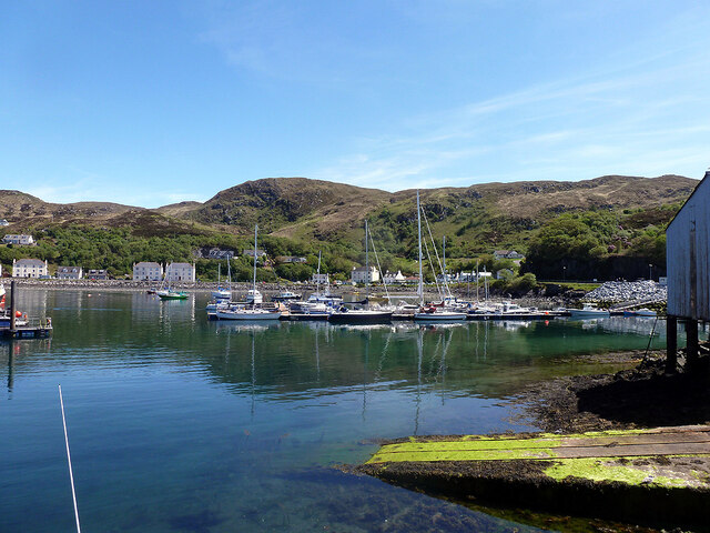
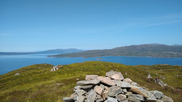
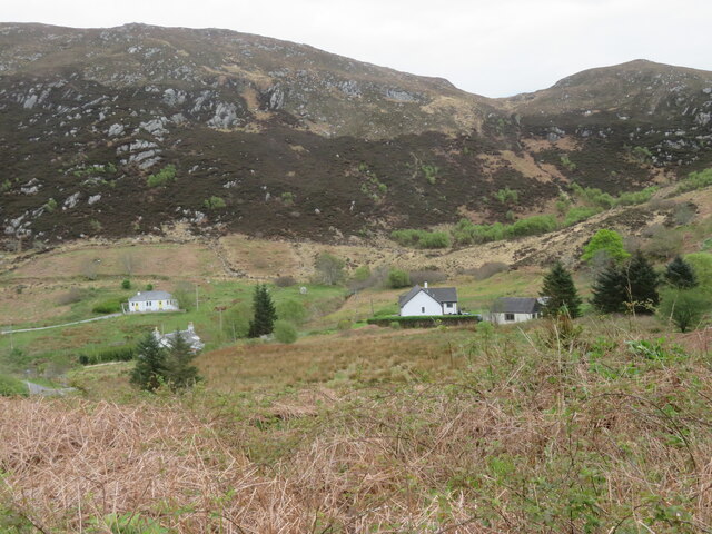
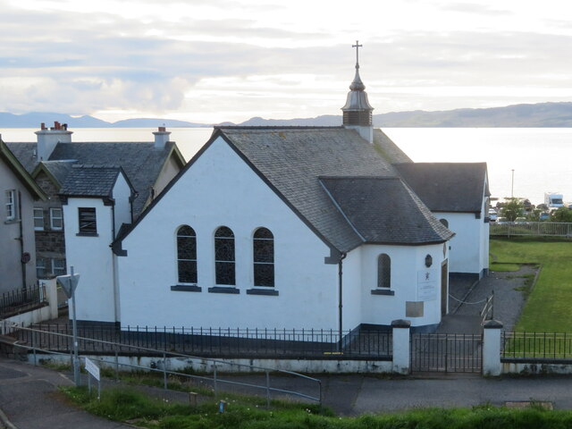
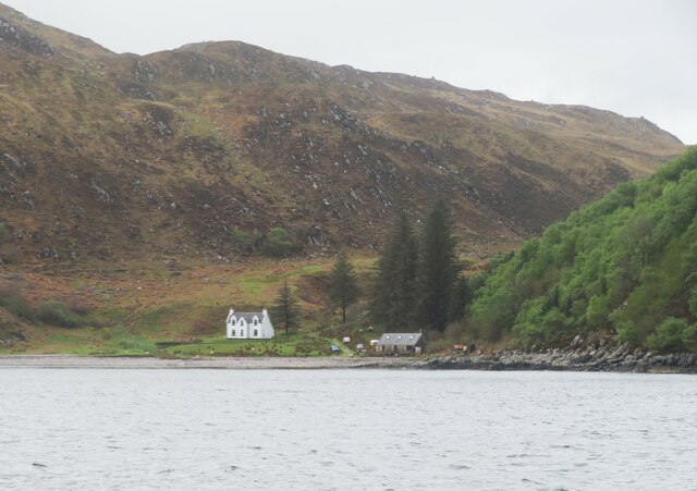
Rubha Bàn is a stunning coastal headland located in Inverness-shire, Scotland. Situated on the western shore of the Moray Firth, this picturesque point offers breathtaking views of the surrounding landscape and is a popular destination for both locals and tourists alike.
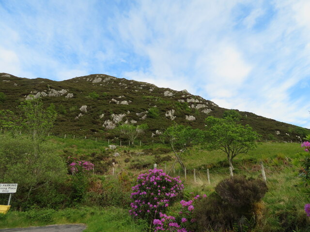
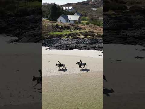
The name "Rubha Bàn" translates to "white point" in Gaelic, which accurately reflects the distinctive white sandy beaches that can be found here. The headland is characterized by its rugged cliffs, which tower above the sparkling turquoise waters below. These cliffs provide a habitat for a variety of bird species, including gulls, cormorants, and even the occasional puffin.
In addition to its natural beauty, Rubha Bàn is also steeped in history. The headland is home to the ruins of an ancient fort, known as Castle Craig. This fort is believed to date back to the Iron Age and offers a glimpse into the region's rich heritage.
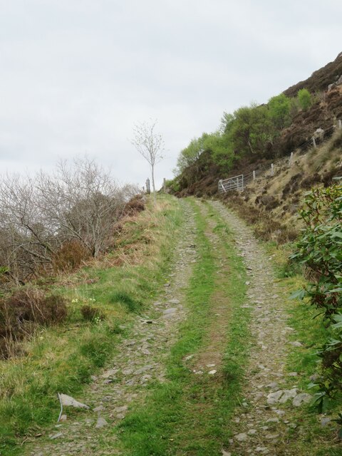
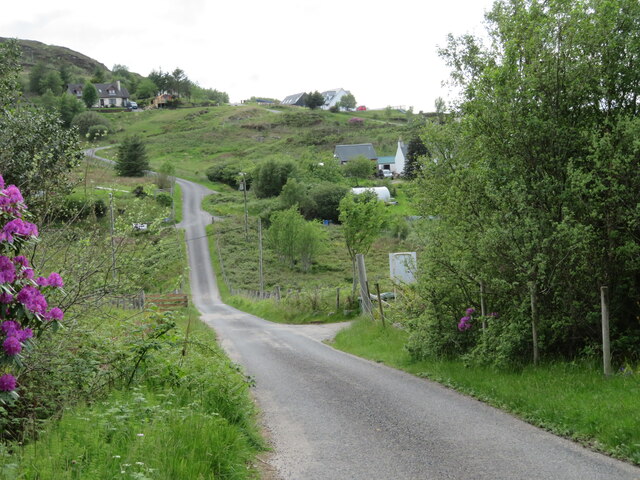
Visitors to Rubha Bàn can explore the area by foot, following the well-maintained coastal path that winds its way around the headland. The path takes visitors past rocky outcrops, hidden coves, and tranquil beaches, providing ample opportunities to take in the stunning scenery and spot local wildlife.
Rubha Bàn is a place of tranquility and natural beauty, offering visitors a chance to escape the hustle and bustle of everyday life and immerse themselves in the stunning Scottish landscape. Whether you are a nature lover, history enthusiast, or simply seeking a peaceful retreat, Rubha Bàn is a must-visit destination in Inverness-shire.
If you have any feedback on the listing, please let us know in the comments section below.
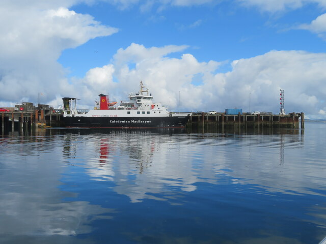
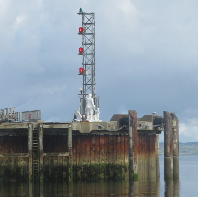
Rubha Bàn Images
Images are sourced within 2km of 57.011634/-5.8199098 or Grid Reference NM6897. Thanks to Geograph Open Source API. All images are credited.
Rubha Bàn is located at Grid Ref: NM6897 (Lat: 57.011634, Lng: -5.8199098)
Unitary Authority: Highland
Police Authority: Highlands and Islands
What 3 Words
///tones.warms.fight. Near Armadale, Highland
Nearby Locations
Related Wikis

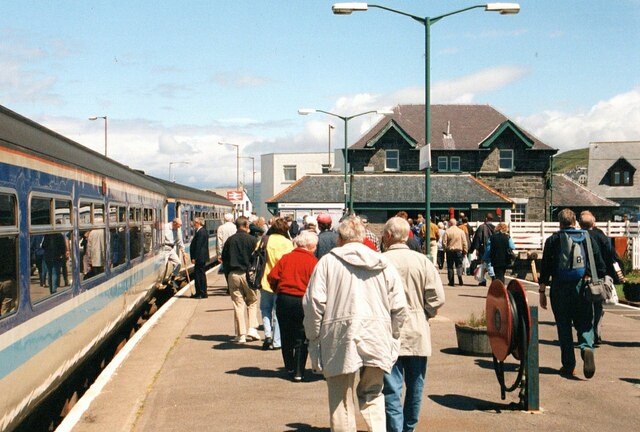
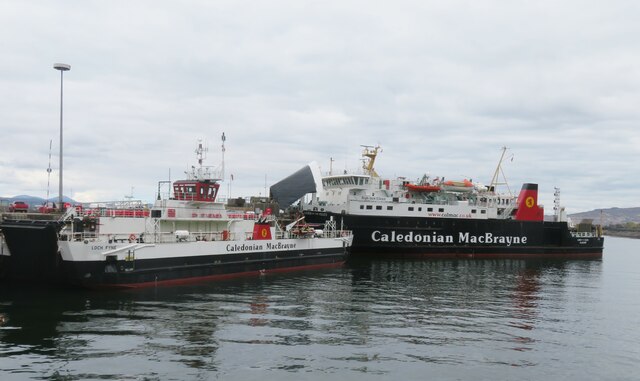
Mallaig railway station
Mallaig railway station is a railway station serving the ferry port of Mallaig, Lochaber, in the Highland region of Scotland. This station is a terminus...

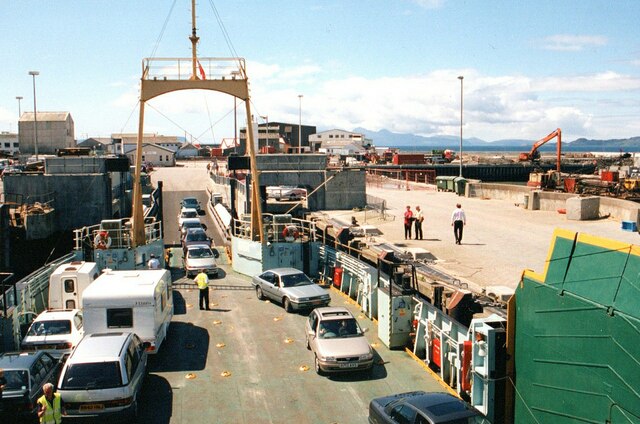
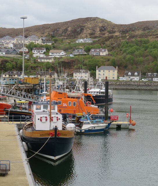
Mallaig
Mallaig ( ; Scottish Gaelic: Malaig [ˈmal̪ˠɛkʲ]) is a port in Morar, on the west coast of the Highlands of Scotland. It faces Skye from across the Sound...

Mallaig High School
Mallaig High School is a secondary school in Mallaig, Lochaber, Scotland. The school building opened in 1989. The current Acting Head Teacher is Pamela...

Loch an Nostarie
Loch an Nostarie is an irregular shaped shallow freshwater loch that lies about a mile north of the west-end of Loch Morar and about a mile south-east...
Related Videos
🇬🇧🏴 Walking in MALLAIG, fisher village at the West Coast of Scotland (no talking)
Map of Mallaig https://goo.gl/maps/pWGyKSCrbEWn7C5P9.

Come a walk with me at Loch Morar, Scotland
Come a walk with me at Loch Morar to the Rob Roy cottage movie scene. Also a visit to Loch Morar Chapel. Like and subscribe ...
Mallaig and Glencoe in Autumn.
We made this short film on our recent trip around North Western Scotland. Our base was in Corran and we explored the ...
Nearby Amenities
Located within 500m of 57.011634,-5.8199098Have you been to Rubha Bàn?
Leave your review of Rubha Bàn below (or comments, questions and feedback).