Mallaigmore
Settlement in Inverness-shire
Scotland
Mallaigmore
The requested URL returned error: 429 Too Many Requests
If you have any feedback on the listing, please let us know in the comments section below.
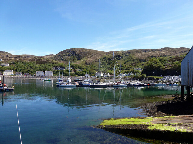
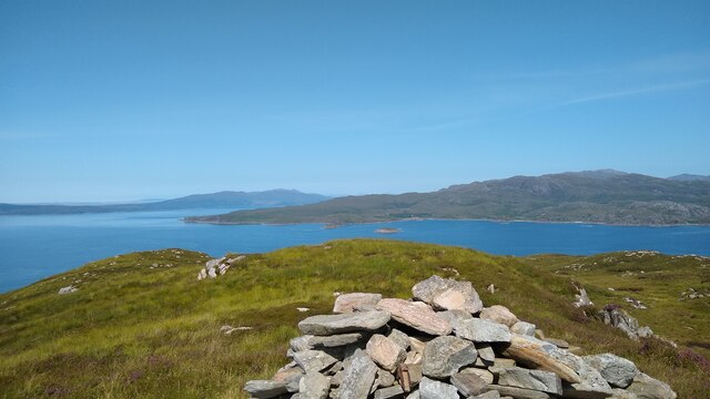
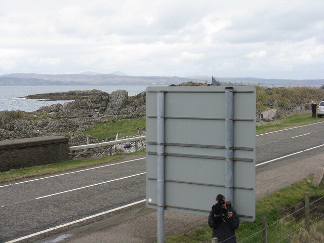
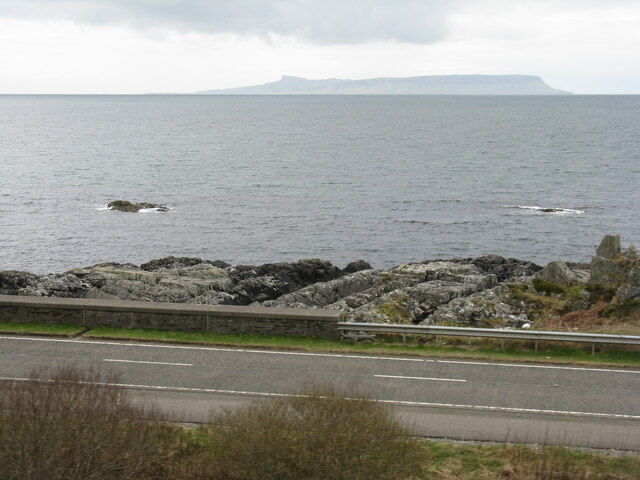
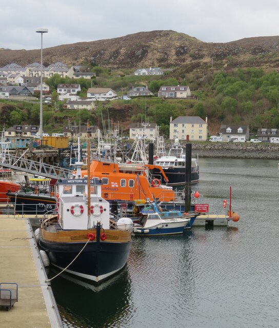
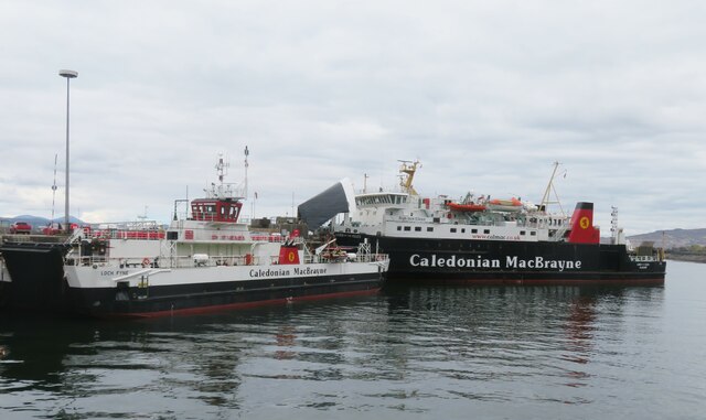
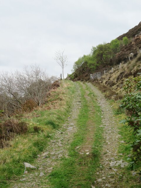
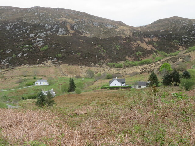
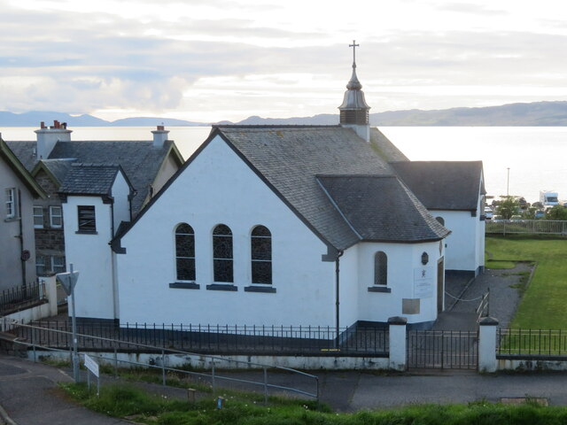
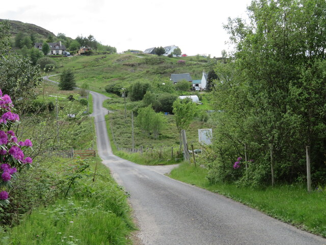
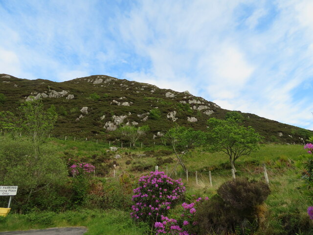
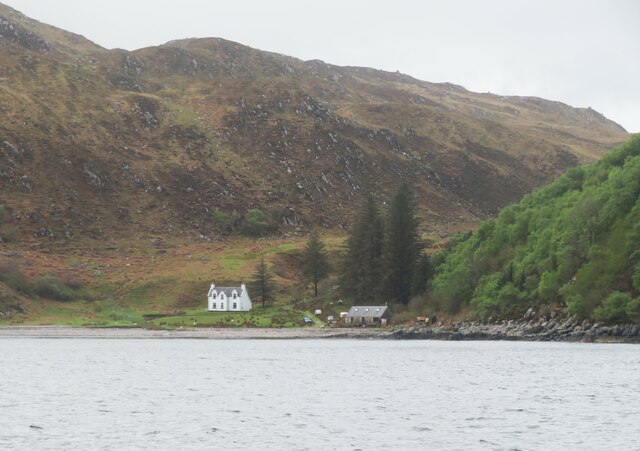
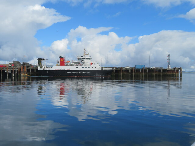
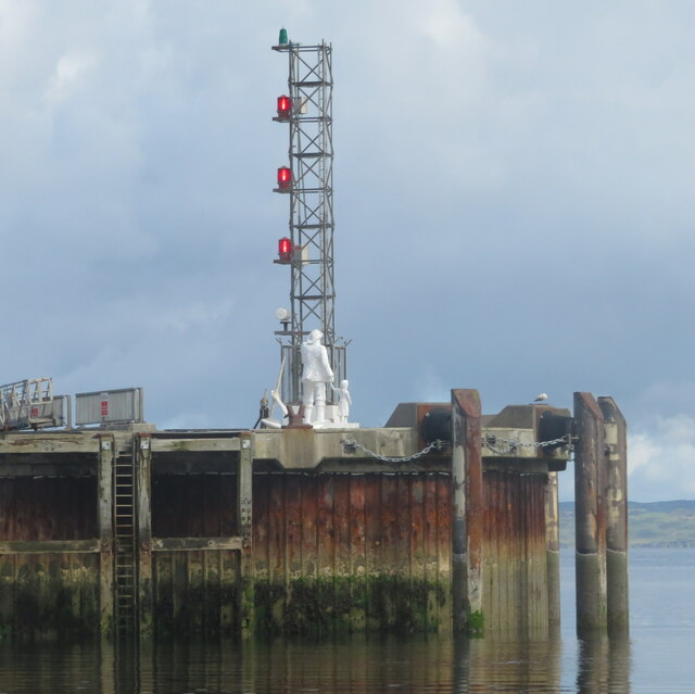
Mallaigmore Images
Images are sourced within 2km of 57.006172/-5.8058862 or Grid Reference NM6997. Thanks to Geograph Open Source API. All images are credited.
Mallaigmore is located at Grid Ref: NM6997 (Lat: 57.006172, Lng: -5.8058862)
Unitary Authority: Highland
Police Authority: Highlands and Islands
What 3 Words
///overheat.lake.drooling. Near Armadale, Highland
Nearby Locations
Related Wikis

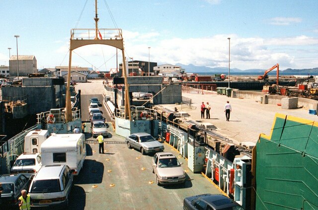
Mallaig
Mallaig ( ; Scottish Gaelic: Malaig [ˈmal̪ˠɛkʲ]) is a port in Morar, on the west coast of the Highlands of Scotland. It faces Skye from across the Sound...

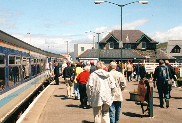
Mallaig railway station
Mallaig railway station is a railway station serving the ferry port of Mallaig, Lochaber, in the Highland region of Scotland. This station is a terminus...

Loch an Nostarie
Loch an Nostarie is an irregular shaped shallow freshwater loch that lies about a mile north of the west-end of Loch Morar and about a mile south-east...

Mallaig High School
Mallaig High School is a secondary school in Mallaig, Lochaber, Scotland. The school building opened in 1989. The current Acting Head Teacher is Pamela...
Nearby Amenities
Located within 500m of 57.006172,-5.8058862Have you been to Mallaigmore?
Leave your review of Mallaigmore below (or comments, questions and feedback).