Cruach Mhalaig
Hill, Mountain in Inverness-shire
Scotland
Cruach Mhalaig
Cruach Mhalaig is a prominent hill located in the county of Inverness-shire, within the Scottish Highlands region of Scotland. It stands at an elevation of approximately 772 meters (2,533 feet) above sea level. The hill is part of a larger range known as the Monadhliath Mountains, which stretch across a vast area of Inverness-shire.
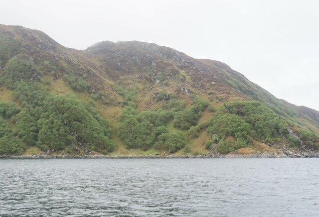
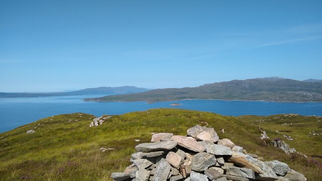
Cruach Mhalaig is characterized by its rugged and rocky terrain, typical of the Scottish Highlands. The hill offers breathtaking panoramic views of the surrounding landscape, including the nearby Loch Ness and the Great Glen. On a clear day, visitors can also catch glimpses of distant peaks such as Ben Nevis, the highest mountain in the British Isles.
The hill is a popular destination for hikers and outdoor enthusiasts, offering various routes for exploration. One of the most common routes is from the village of Fort Augustus, situated at the southern tip of Loch Ness. The trek to the summit of Cruach Mhalaig provides a challenging yet rewarding experience, with stunning vistas awaiting those who reach the top.
The area surrounding Cruach Mhalaig is rich in wildlife, including deer, grouse, and various bird species. Nature enthusiasts can often spot these creatures as they traverse the hillside. The hill also boasts a diverse range of flora, with heather, moss, and grasses covering its slopes.
Overall, Cruach Mhalaig is a captivating natural landmark in Inverness-shire, offering visitors the opportunity to immerse themselves in the stunning beauty of the Scottish Highlands.
If you have any feedback on the listing, please let us know in the comments section below.
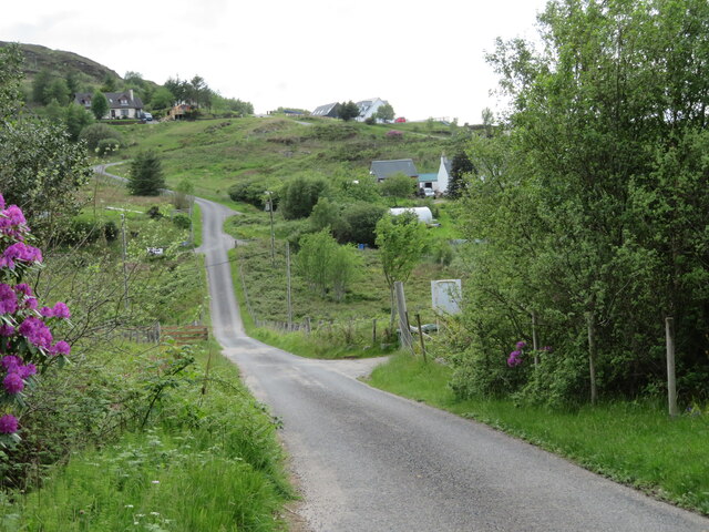
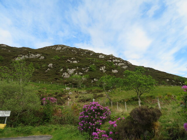
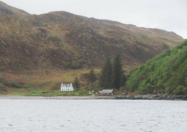
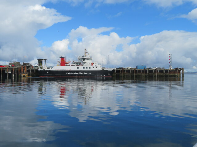
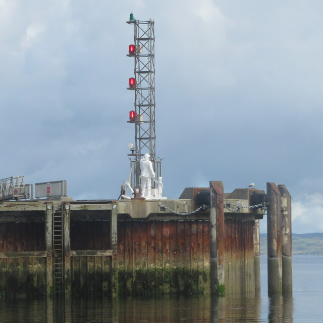
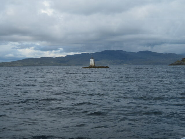
Cruach Mhalaig Images
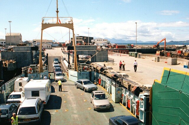
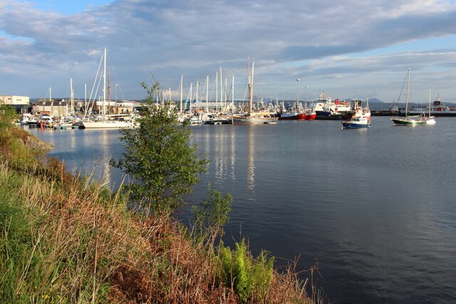
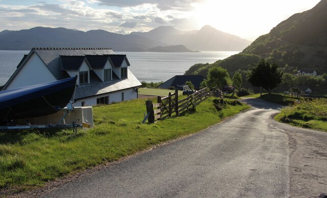
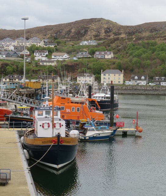
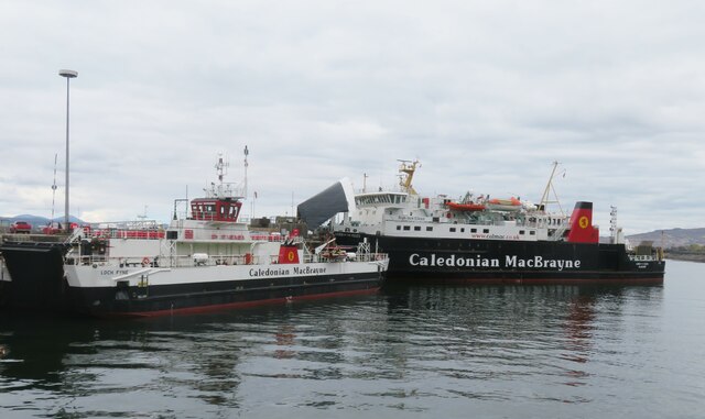
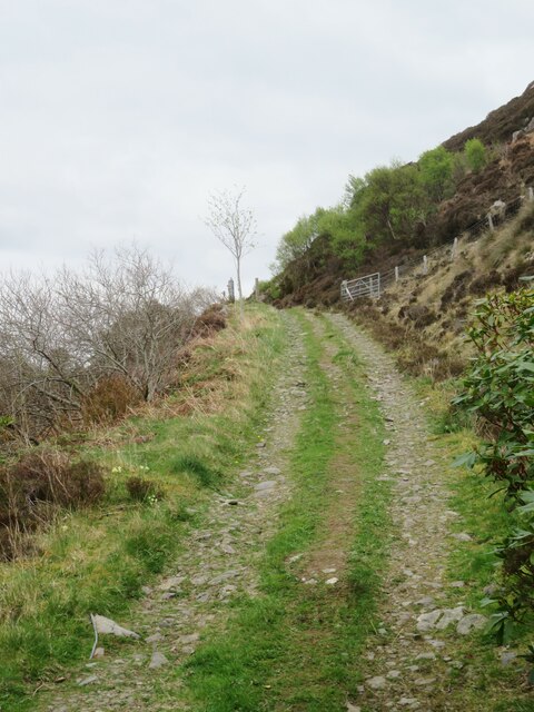
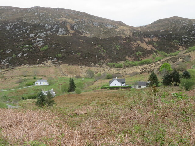
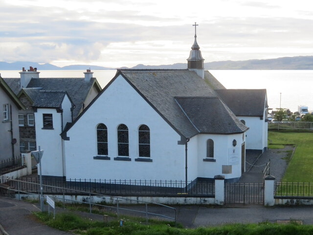
Images are sourced within 2km of 57.009166/-5.8017428 or Grid Reference NM6997. Thanks to Geograph Open Source API. All images are credited.
Cruach Mhalaig is located at Grid Ref: NM6997 (Lat: 57.009166, Lng: -5.8017428)
Unitary Authority: Highland
Police Authority: Highlands and Islands
What 3 Words
///flotation.plans.resides. Near Armadale, Highland
Nearby Locations
Related Wikis

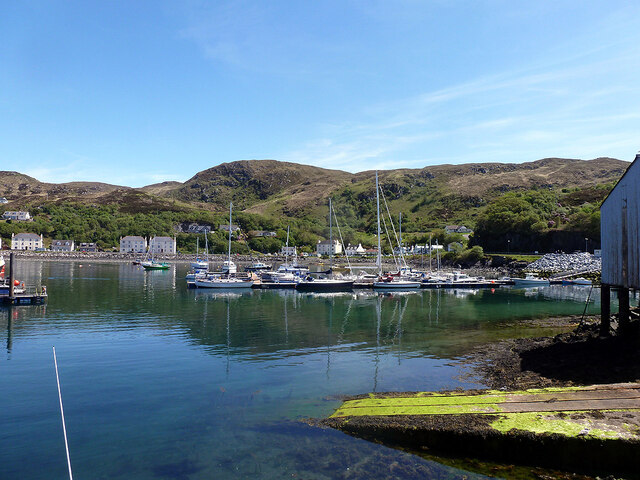
Mallaig
Mallaig ( ; Scottish Gaelic: Malaig [ˈmal̪ˠɛkʲ]) is a port in Morar, on the west coast of the Highlands of Scotland. It faces Skye from across the Sound...

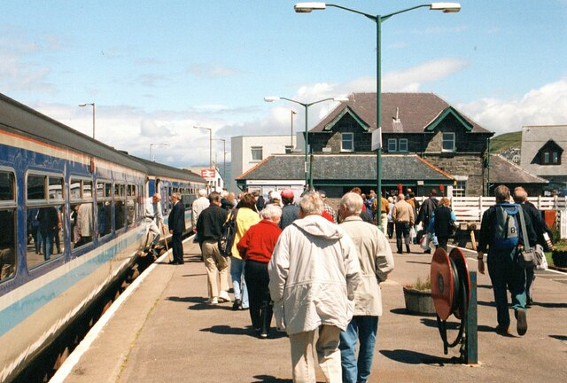
Mallaig railway station
Mallaig railway station is a railway station serving the ferry port of Mallaig, Lochaber, in the Highland region of Scotland. This station is a terminus...

Loch an Nostarie
Loch an Nostarie is an irregular shaped shallow freshwater loch that lies about a mile north of the west-end of Loch Morar and about a mile south-east...

Mallaig High School
Mallaig High School is a secondary school in Mallaig, Lochaber, Scotland. The school building opened in 1989. The current Acting Head Teacher is Pamela...
Nearby Amenities
Located within 500m of 57.009166,-5.8017428Have you been to Cruach Mhalaig?
Leave your review of Cruach Mhalaig below (or comments, questions and feedback).