Cnoc Ban

Hill, Mountain in Argyllshire

Scotland

Cnoc Ban

Junction on B842 in Conie Glen
Junction on B842 in Conie Glen Credit: Alpin Stewart

Cnoc Ban is a hill located in Argyllshire, Scotland. It is situated near the village of Clachan, overlooking the stunning scenery of the Kintyre Peninsula. Cnoc Ban stands at an elevation of approximately 350 meters (1150 feet) above sea level, making it a popular destination for hikers and outdoor enthusiasts.

The hill is covered in lush green vegetation, including heather and grasses, providing a picturesque backdrop for those exploring the area. The summit of Cnoc Ban offers panoramic views of the surrounding countryside, with the nearby hills and valleys stretching out as far as the eye can see.

Cnoc Ban is easily accessible via a network of well-maintained hiking trails, making it a relatively easy climb for visitors of all skill levels. The hill is also home to a variety of wildlife, including deer and birds of prey, adding to the natural beauty of the area.

Overall, Cnoc Ban is a peaceful and scenic location that offers visitors the opportunity to immerse themselves in the stunning landscape of Argyllshire. Whether you are an experienced hiker looking for a challenge or simply seeking a peaceful retreat in nature, Cnoc Ban is sure to impress.

If you have any feedback on the listing, please let us know in the comments section below.

Cnoc Ban Images

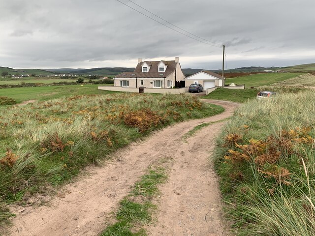
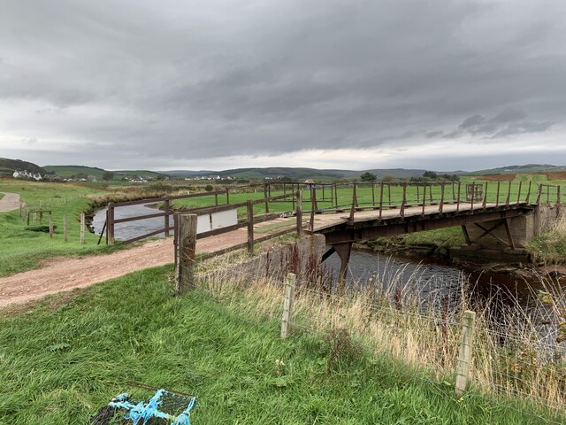
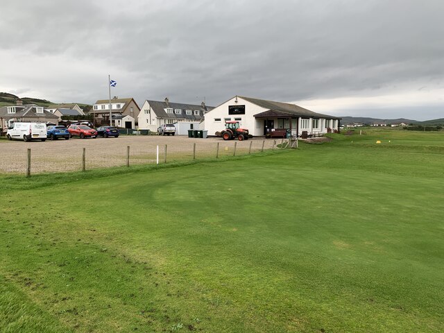
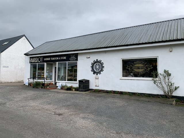
Images are sourced within 2km of 55.326284/-5.638959 or Grid Reference NR6909. Thanks to Geograph Open Source API. All images are credited.

Junction on B842 in Conie Glen
B842 northbound near Keprigan
Minor road and Bridge crossing Conieglen Water at Mill Park Looking north-westward.
Minor road and Bridge crossing Conieglen Water at Mill Park
Looking north-westward.
Minor road near to Aucharua Looking north-westward.
Minor road near to Aucharua
Looking north-westward.
Dunaverty Cottage On the peninsula near the remains of Dunaverty Castle.
Dunaverty Cottage
On the peninsula near the remains of Dunaverty Castle.
Footbridge over Conieglen Water Near Dunaverty Castle.
Footbridge over Conieglen Water
Near Dunaverty Castle.
Dunaverty Golf Club Near Southend.
Dunaverty Golf Club
Near Southend.
Mauneroy tearoom and store In Southend.
Mauneroy tearoom and store
In Southend.
Machribeg Farm Near Southend.
Machribeg Farm
Near Southend.
Former United Presbyterian Church, Southend Category B listed. Listing reference LB18345.
Church opened in 1797. It became a United Presbyterian Church and was rebuilt in 1889 to the designs of architect Robert Hay of Glasgow. Became Church of Scotland in 1946 and named St Columba's Church. Closed in 1965.
Former United Presbyterian Church, Southend
Category B listed. Listing reference LB18345. Church opened in 1797. It became a United Presbyterian Church and was rebuilt in 1889 to the designs of architect Robert Hay of Glasgow. Became Church of Scotland in 1946 and named St Columba's Church. Closed in 1965.
Woodland, Dunglass Brambles and bluebells - this wood would not look out of place in southwest England. This far south and surrounded by the sea, Kintyre has a very mild climate.
Woodland, Dunglass
Brambles and bluebells - this wood would not look out of place in southwest England. This far south and surrounded by the sea, Kintyre has a very mild climate.
Minor road near Mill Park
Entrance to Aucharua Farm
Livestock at Pennyland Spring took a long time to arrive in Kintyre this year and the cattle seem to appreciate the outdoors and new grass all the more for it.
Livestock at Pennyland
Spring took a long time to arrive in Kintyre this year and the cattle seem to appreciate the outdoors and new grass all the more for it.
High Cattadale Farm
High Cattadale Farm
War memorial in Conie Glen
View across the Conie Glen to Dalmore Rainbow shines brightly in the evening rain.
View across the Conie Glen to Dalmore
Rainbow shines brightly in the evening rain.
Show me another place!

Cnoc Ban is located at Grid Ref: NR6909 (Lat: 55.326284, Lng: -5.638959)

Unitary Authority: Argyll and Bute

Police Authority: Argyll and West Dunbartonshire

What 3 Words

///field.flirts.pigtails. Near Campbeltown, Argyll & Bute

Nearby Locations

Cnoc Ban

Related Wikis

Southend, Argyll

Southend (Scottish Gaelic: Ceann mu Dheas, pronounced [ˈkʲʰaun̪ˠ mə ˈʝes̪]) is the main settlement at the southern end of the Kintyre peninsula in Argyll...

Keil Hotel

Keil Hotel is a former hotel near Southend, Kintyre in western Scotland. == History and architecture == It was constructed between 1937 and 1939 for Captain...

Dunaverty Castle

Dunaverty Castle is located at Southend at the southern end of the Kintyre peninsula in western Scotland. The site was once a fort belonging to the Clan...

Battle of Dunaverty

The Battle of Dunaverty involved a battle and the siege of Dunaverty Castle in Kintyre, Scotland, in 1647. The events involved the Covenanter Army under...

Nearby Amenities

Located within 500m of 55.326284,-5.638959
North Machrimore
Place: hamlet
Source: OS7
Lat/Long: 55.3254393/-5.6392787
Power: pole
Lat/Long: 55.3228862/-5.6350911
Power: pole
Lat/Long: 55.3237106/-5.634212
Power: pole
Lat/Long: 55.3244583/-5.6332841
Power: pole
Lat/Long: 55.3277073/-5.6332875
Power: pole
Lat/Long: 55.3264366/-5.632557
Power: pole
Lat/Long: 55.3284361/-5.6325523
The data included in this document is from www.openstreetmap.org. The data is made available under ODbL.

Have you been to Cnoc Ban?

Leave your review of Cnoc Ban below (or comments, questions and feedback).